Britty Wood
Wood, Forest in Surrey Waverley
England
Britty Wood
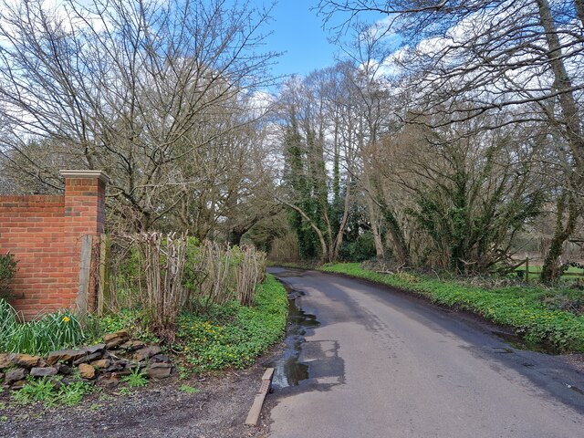
Britty Wood is a charming woodland area located in Surrey, England. It is part of the larger Surrey Hills Area of Outstanding Natural Beauty, renowned for its picturesque landscapes and rich biodiversity. This stunning forest, also known as Wood, offers visitors a tranquil escape from the hustle and bustle of city life.
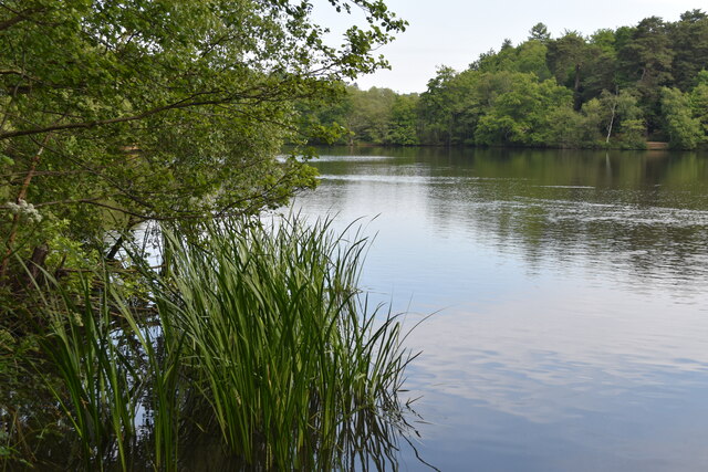
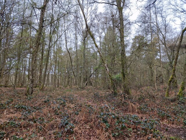
Covering an area of approximately 200 acres, Britty Wood is predominantly made up of broadleaf trees such as oak, beech, and birch. These majestic trees create a dense canopy, providing shade and shelter for a variety of wildlife species. The forest floor is carpeted with an array of wildflowers, adding vibrant pops of color to the serene surroundings.
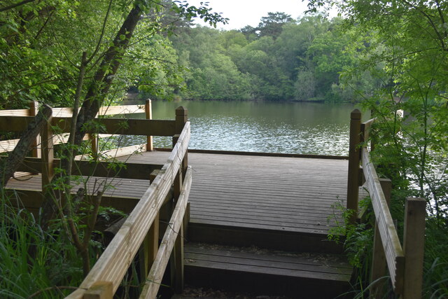
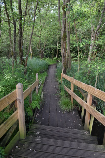
Visitors to Britty Wood can enjoy a range of activities. There are numerous well-marked trails for hiking and walking, allowing visitors to explore the forest at their own pace. The trails meander through the woodland, offering glimpses of enchanting clearings and babbling brooks. Birdwatchers will be delighted by the diverse avian population, with species such as woodpeckers, thrushes, and owls making their home in the forest.
In addition to its natural beauty, Britty Wood also holds historical and cultural significance. It is believed to have been a hunting ground for ancient civilizations and has remnants of ancient earthworks and burial mounds. The forest is also home to several species of rare and protected plants, making it an important site for conservation efforts.
Overall, Britty Wood offers a serene and idyllic escape where visitors can immerse themselves in the beauty of nature, explore its rich history, and appreciate the diverse wildlife that calls it home.
If you have any feedback on the listing, please let us know in the comments section below.
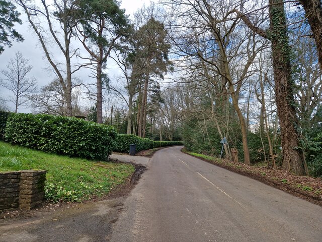
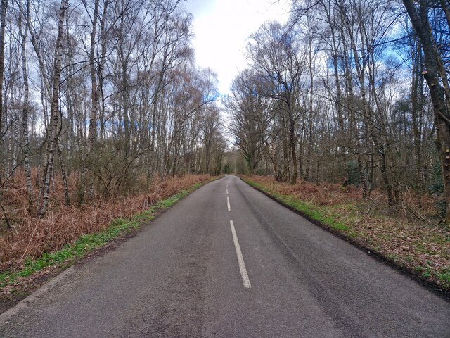
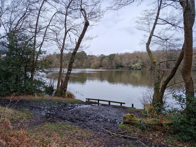
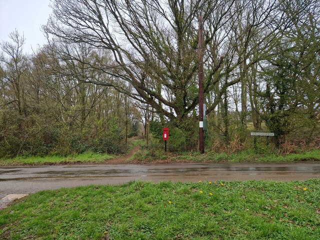
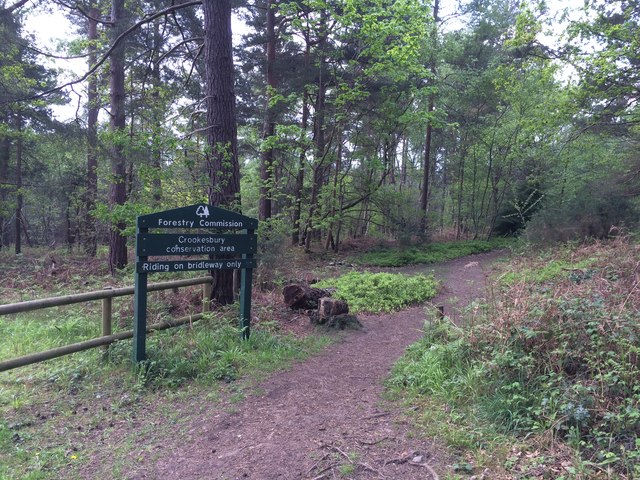
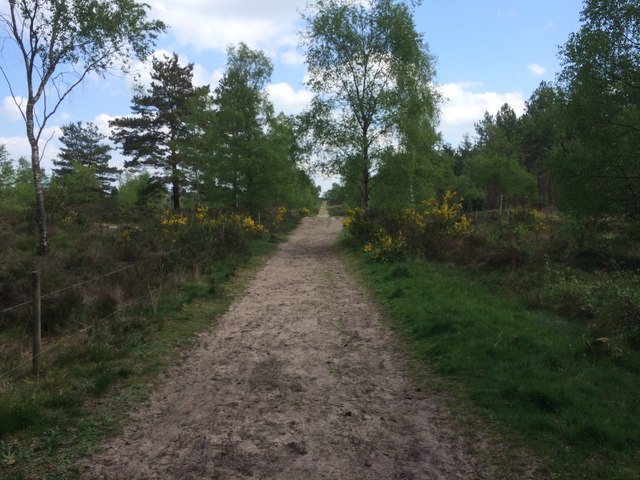
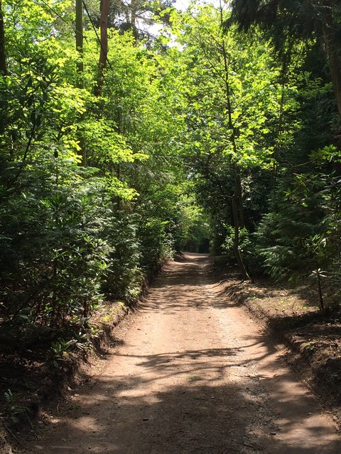
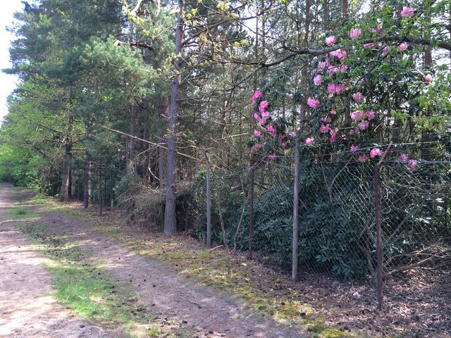
Britty Wood Images
Images are sourced within 2km of 51.199475/-0.71222743 or Grid Reference SU9045. Thanks to Geograph Open Source API. All images are credited.


Britty Wood is located at Grid Ref: SU9045 (Lat: 51.199475, Lng: -0.71222743)
Administrative County: Surrey
District: Waverley
Police Authority: Surrey
What 3 Words
///guards.query.gates. Near Elstead, Surrey
Nearby Locations
Related Wikis

Thundry Meadows
Thundry Meadows is a 16-hectare (40-acre) nature reserve in Elstead in Surrey. It is managed by the Surrey Wildlife Trust. Part of it is Charleshill Site...

Puttenham and Crooksbury Commons
Puttenham and Crooksbury Commons is a 113.8-hectare (281-acre) biological Site of Special Scientific Interest between Farnham and Guildford in Surrey....

Charleshill SSSI
Charleshill SSSI is a 10.1-hectare (25-acre) biological Site of Special Scientific Interest west of Elstead in Surrey. It is part of Thundry Meadows nature...

Elstead
Elstead is a civil parish in Surrey, England with shops, houses and cottages spanning the north and south sides of the River Wey; development is concentrated...
Nearby Amenities
Located within 500m of 51.199475,-0.71222743Have you been to Britty Wood?
Leave your review of Britty Wood below (or comments, questions and feedback).