Kettlebury Hill
Hill, Mountain in Surrey Waverley
England
Kettlebury Hill
Kettlebury Hill is a prominent natural landmark located in Surrey, England. Situated in the southeastern part of the county, it forms part of the Surrey Hills Area of Outstanding Natural Beauty, attracting visitors from near and far.
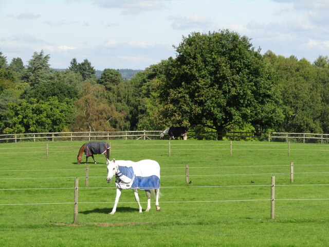
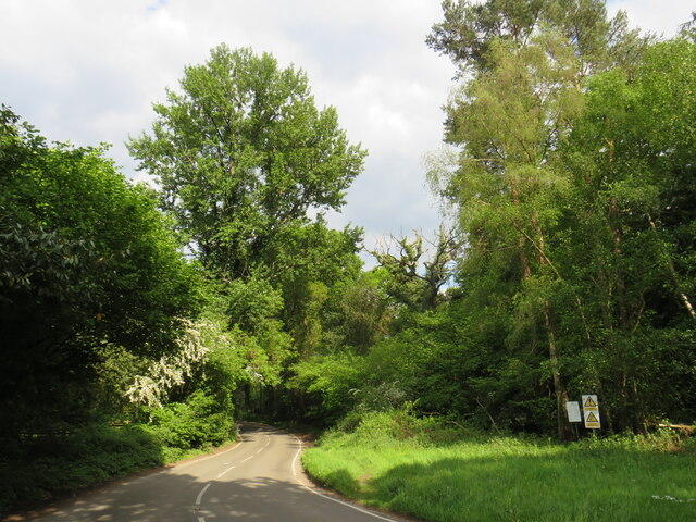
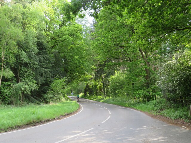
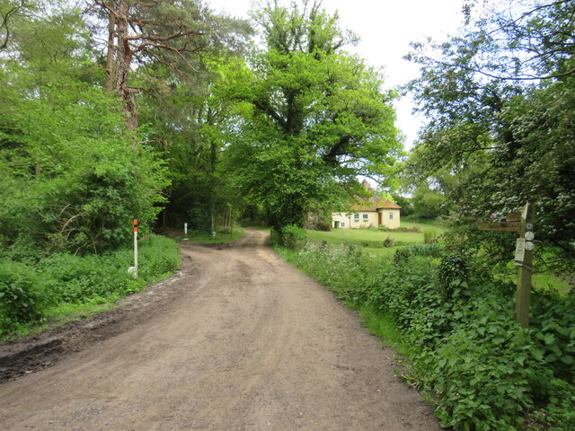
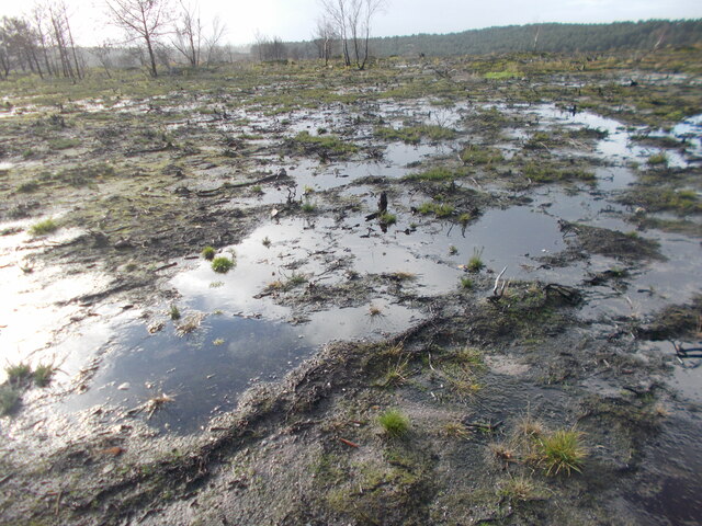
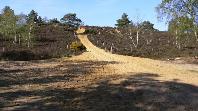
Rising to an elevation of approximately 200 meters (656 feet), Kettlebury Hill is characterized by its gentle slopes and lush vegetation. The hill is covered in a mix of grasslands, woodlands, and heathlands, which provide a diverse habitat for a range of flora and fauna species. Visitors can expect to encounter a variety of wildflowers, such as bluebells and primroses, as well as occasional sightings of deer and birds of prey.
At the summit of Kettlebury Hill, one is rewarded with stunning panoramic views of the surrounding countryside. On a clear day, it is possible to see as far as the South Downs and the North Downs, highlighting the hill's strategic position. Historically, Kettlebury Hill has been used as a vantage point, offering a commanding view of the surrounding area.
The hill is also of cultural and historical significance. It is believed that Kettlebury Hill has been inhabited since prehistoric times, with evidence of Bronze Age barrows and Iron Age settlements found in the vicinity. Additionally, the remains of a medieval hillfort can still be found at the summit, further adding to its historical allure.
Kettlebury Hill offers a tranquil and picturesque setting, making it a popular destination for hikers, nature enthusiasts, and history buffs alike. Whether one seeks a peaceful walk, a glimpse into the past, or simply breath-taking vistas, Kettlebury Hill provides an enriching experience for all who visit.
If you have any feedback on the listing, please let us know in the comments section below.
Kettlebury Hill Images
Images are sourced within 2km of 51.156461/-0.74336861 or Grid Reference SU8740. Thanks to Geograph Open Source API. All images are credited.


Kettlebury Hill is located at Grid Ref: SU8740 (Lat: 51.156461, Lng: -0.74336861)
Administrative County: Surrey
District: Waverley
Police Authority: Surrey
What 3 Words
///wobbling.timer.wipe. Near Churt, Surrey
Nearby Locations
Related Wikis

Rushmoor, Surrey
Rushmoor is a village in the civil parish of Frensham, in the Waverley district, in the county of Surrey, England. In 2019 it had an estimated population...
Hankley Common
Hankley Common is a 560-hectare (1,400-acre) nature reserve and filming location in the south-west of Elstead in Surrey. It is owned by the Ministry of...

Thursley, Hankley and Frensham Commons
Thursley, Hankley and Frensham Commons is a 1,878.5-hectare (4,642-acre) biological Site of Special Scientific Interest west of Godalming in Surrey. Thursley...

Bron-y-de
Bron-y-de (transl. 'Breast of the south') was a house and surrounding farm in the village of Churt in the southern English county of Surrey. The main house...

Devil's Jumps, Churt
The Devil's Jumps are a series of three small hills near the village of Churt in the county of Surrey in southern England. In the 18th century, the hills...

Stockstone Quarry
Stockstone Quarry is a 3.9-hectare (9.6-acre) geological Site of Special Scientific Interest south of Farnham in Surrey. It is a Geological Conservation...
Thursley Common
Thursley Common is a national nature reserve in Surrey, England, and has also been designated as a Ramsar wetland. It is also part of a Site of Special...
River Wey
The River Wey is a main tributary of the River Thames in south east England. Its two branches, one of which rises near Alton in Hampshire and the other...
Nearby Amenities
Located within 500m of 51.156461,-0.74336861Have you been to Kettlebury Hill?
Leave your review of Kettlebury Hill below (or comments, questions and feedback).