Gold Hill

Hill, Mountain in Surrey Waverley

England

Gold Hill

Road junction near Farnham A junction of minor roads in woodland, near the Surrey village of Churt.
Road junction near Farnham Credit: Malc McDonald

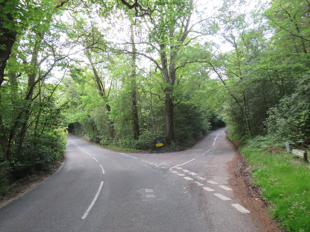
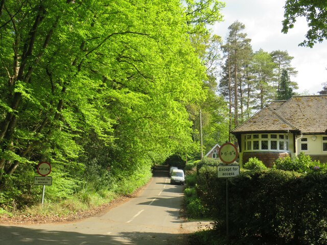
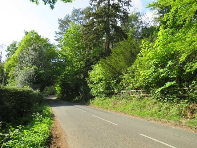
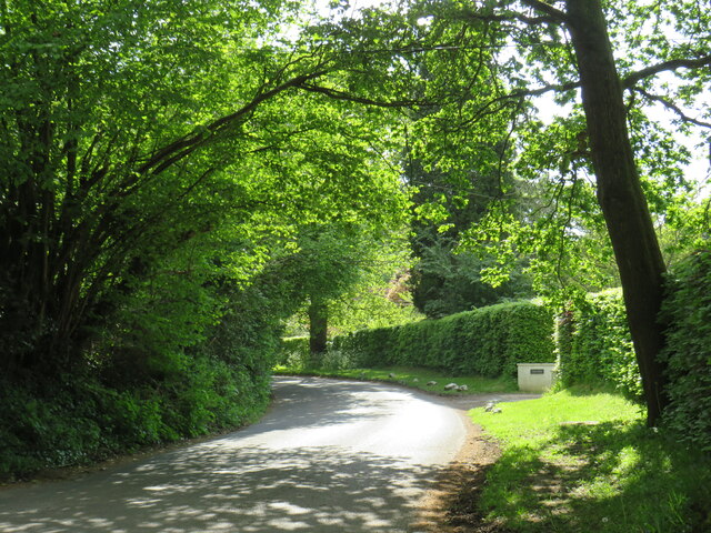
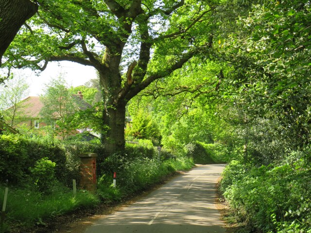
Gold Hill is a charming and picturesque village situated in Surrey, England. It is renowned for its stunning natural beauty and its historical significance. Located on the North Downs, Gold Hill is an elevated site that offers panoramic views of the surrounding countryside.

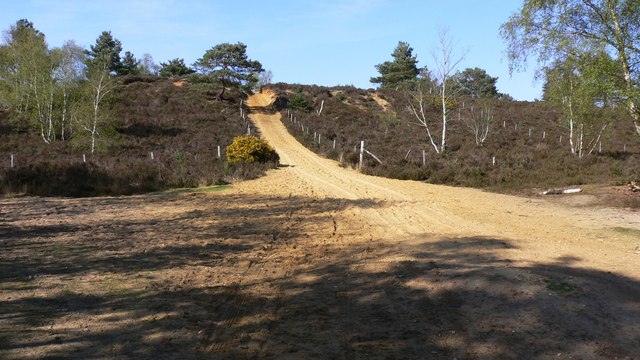
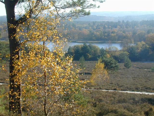
The hill itself is a prominent landmark, rising to a height of approximately 110 meters above sea level. It is covered in lush greenery, with rolling hills and verdant meadows stretching as far as the eye can see. The summit of Gold Hill provides a breathtaking vantage point, allowing visitors to admire the stunning landscape and enjoy the tranquility of the area.

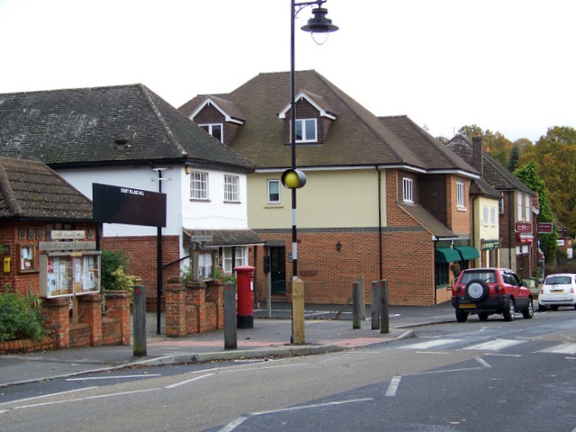
The village of Gold Hill is equally captivating. It is characterized by a collection of quaint and well-preserved cottages, which date back to the 17th century. These traditional houses are made of local stone, adding to the village's rustic charm. The streets are narrow and winding, with cobbled paths and beautiful gardens lining the way.

Gold Hill also holds historical significance. It was a strategic location during the English Civil War, serving as a lookout point for military purposes. The remnants of defensive structures can still be seen today, adding an extra layer of interest for history enthusiasts.

Overall, Gold Hill in Surrey is a captivating destination that offers a delightful blend of natural beauty, historical significance, and traditional charm. Whether visitors are seeking panoramic views, a peaceful retreat, or a glimpse into the past, Gold Hill has something to offer for everyone.

If you have any feedback on the listing, please let us know in the comments section below.

Gold Hill Images

Images are sourced within 2km of 51.15285/-0.75133086 or Grid Reference SU8740. Thanks to Geograph Open Source API. All images are credited.

Road junction near Farnham A junction of minor roads in woodland, near the Surrey village of Churt.
Road junction near Farnham
A junction of minor roads in woodland, near the Surrey village of Churt.
Crabtree Lane, Churt, near Farnham Crabtree Lane is a minor lane on the edge of the village of Churt in Surrey.

A width restriction of 6 feet and 6 inches applies to prohibit large vehicles from using this road.  Vehicles needing to access properties along this road are exempt from the restriction.
Crabtree Lane, Churt, near Farnham
Crabtree Lane is a minor lane on the edge of the village of Churt in Surrey. A width restriction of 6 feet and 6 inches applies to prohibit large vehicles from using this road. Vehicles needing to access properties along this road are exempt from the restriction.
Jumps Road, Churt, near Farnham Jumps Road is a minor road through woodland on the edge of the village of Churt, in Surrey.
Jumps Road, Churt, near Farnham
Jumps Road is a minor road through woodland on the edge of the village of Churt, in Surrey.
Hale House Lane, Churt, near Farnham Hale House Lane is a minor road on the edge of the village of Churt, in Surrey.
Hale House Lane, Churt, near Farnham
Hale House Lane is a minor road on the edge of the village of Churt, in Surrey.
Crabtree Lane, Churt, near Farnham Crabtree Lane is a minor road on the edge of the village of Churt, in Surrey.
Crabtree Lane, Churt, near Farnham
Crabtree Lane is a minor road on the edge of the village of Churt, in Surrey.
Hale House Lane, near Farnham Hale House Lane is a minor road passing through woodland in Surrey.
Hale House Lane, near Farnham
Hale House Lane is a minor road passing through woodland in Surrey.
Road junction near Farnham A junction of minor roads in Surrey countryside.
Road junction near Farnham
A junction of minor roads in Surrey countryside.
Rural road junction near Farnham A junction of minor roads in the Surrey countryside.
Rural road junction near Farnham
A junction of minor roads in the Surrey countryside.
Pride Barn Fish Farm, near Rushmoor Pride Barn Fish Farm in Surrey countryside, near the village of Rushmoor.
Pride Barn Fish Farm, near Rushmoor
Pride Barn Fish Farm in Surrey countryside, near the village of Rushmoor.
Path into woodland near Rushmoor A path leading into woodland in Surrey.  Signs warn that the woods are used as a training area by the Ministry of Defence.
Path into woodland near Rushmoor
A path leading into woodland in Surrey. Signs warn that the woods are used as a training area by the Ministry of Defence.
Car park near Rushmoor A public car park in woodland near Rushmoor in Surrey.  Signs warn that this area is used as a training ground by the Ministry of Defence.
Car park near Rushmoor
A public car park in woodland near Rushmoor in Surrey. Signs warn that this area is used as a training ground by the Ministry of Defence.
Thursley Road at Pitch Place, Surrey Thursley Road entering the small hamlet of Pitch Place in Surrey.
Thursley Road at Pitch Place, Surrey
Thursley Road entering the small hamlet of Pitch Place in Surrey.
Pitch Place, near Hindhead, Surrey Pitch Place is a small hamlet in the Surrey countryside.  It is also the name of the minor road which passes through.
Pitch Place, near Hindhead, Surrey
Pitch Place is a small hamlet in the Surrey countryside. It is also the name of the minor road which passes through.
Pitch Place, near Hindhead, Surrey Pitch Place is a small hamlet in Surrey.  The minor road which passes through is also called Pitch Place.
Pitch Place, near Hindhead, Surrey
Pitch Place is a small hamlet in Surrey. The minor road which passes through is also called Pitch Place.
Road junction near Thursley, Surrey A junction of minor roads in woodland in Surrey, near the village of Thursley.
Road junction near Thursley, Surrey
A junction of minor roads in woodland in Surrey, near the village of Thursley.
Dyehouse Road, near Thursley, Surrey Dyehouse Road is a minor road through woodland in Surrey.  Warning signs indicate that long vehicles are at risk of grounding, due to an uneven road surface.  Another sign prohibits military vehicles from using this road, a clue that military activity takes place in this area.
Dyehouse Road, near Thursley, Surrey
Dyehouse Road is a minor road through woodland in Surrey. Warning signs indicate that long vehicles are at risk of grounding, due to an uneven road surface. Another sign prohibits military vehicles from using this road, a clue that military activity takes place in this area.
Track into woodland near Thursley, Surrey A track into woodland in Surrey, close to the village of Thursley.
Track into woodland near Thursley, Surrey
A track into woodland in Surrey, close to the village of Thursley.
Churt Common in sunshine Passing the Devil's Jumps en route to Frensham Great Pond.  Sunshine following a rain shower a little earlier.
Churt Common in sunshine
Passing the Devil's Jumps en route to Frensham Great Pond. Sunshine following a rain shower a little earlier.
Show me another place!

Gold Hill is located at Grid Ref: SU8740 (Lat: 51.15285, Lng: -0.75133086)

Administrative County: Surrey

District: Waverley

Police Authority: Surrey

What 3 Words

///shameless.witty.sailors. Near Churt, Surrey

Nearby Locations

Kettlebury Hill Gold Hill

Related Wikis

Rushmoor, Surrey

Rushmoor is a village in the civil parish of Frensham, in the Waverley district, in the county of Surrey, England. In 2019 it had an estimated population...

Bron-y-de

Bron-y-de (transl. 'Breast of the south') was a house and surrounding farm in the village of Churt in the southern English county of Surrey. The main house...

Devil's Jumps, Churt

The Devil's Jumps are a series of three small hills near the village of Churt in the county of Surrey in southern England. In the 18th century, the hills...

Hankley Common

Hankley Common is a 560-hectare (1,400-acre) nature reserve and filming location in the south-west of Elstead in Surrey. It is owned by the Ministry of...

Thursley, Hankley and Frensham Commons

Thursley, Hankley and Frensham Commons is a 1,878.5-hectare (4,642-acre) biological Site of Special Scientific Interest west of Godalming in Surrey. Thursley...

Stockstone Quarry

Stockstone Quarry is a 3.9-hectare (9.6-acre) geological Site of Special Scientific Interest south of Farnham in Surrey. It is a Geological Conservation...

Churt

Churt is a village and civil parish in the borough of Waverley in Surrey, England, about 5.5 miles (8.9 km) south of the town of Farnham on the A287 road...

Frensham Common

Frensham Common is a large Site of Special Scientific Interest (SSSI) heathland of 373 hectares (922 acres) which includes two lakes; it is owned and...

Nearby Amenities

Located within 500m of 51.15285,-0.75133086
Telephone
Defibrillator
Booth: K6
Covered: booth
Defibrillator Location: inside old red phone box at junction of Sandy Lane and Tilford Street in Rushmoor
Emergency: defibrillator
Man Made: telephone_box
Lat/Long: 51.1526409/-0.7544011
Source: photo
Lat/Long: 51.1531737/-0.7530398
Bus Stop
Sandy Lane
Naptan AtcoCode: 40004411282A
Naptan Bearing: SW
Naptan CommonName: Sandy Lane
Naptan Indicator: Just Before
Naptan Landmark: Sandy Lane
Naptan NaptanCode: surdwgwg
Naptan Street: Tilford Road
Naptan Verified: no
Source: naptan_import
Lat/Long: 51.153137/-0.7540122
Bus Stop
Sandy Lane
Naptan AtcoCode: 40004411282B
Naptan Bearing: NE
Naptan CommonName: Sandy Lane
Naptan Indicator: adj
Naptan Landmark: Sandy Lane
Naptan NaptanCode: surdwgwj
Naptan Street: Tilford Road
Naptan Verified: no
Source: naptan_import
Lat/Long: 51.1525739/-0.754342
Bus Stop
Post Office
Naptan AtcoCode: 40004411283A
Naptan Bearing: S
Naptan BusStopType: CUS
Naptan CommonName: Post Office
Naptan Indicator: Opp
Naptan Landmark: Post Office
Naptan NaptanCode: surdwgwp
Naptan Street: Tilford Road
Naptan Verified: no
Source: naptan_import
Lat/Long: 51.1543014/-0.7535805
Bus Stop
Post Office
Naptan AtcoCode: 40004411283B
Naptan Bearing: N
Naptan CommonName: Post Office
Naptan Indicator: O/s
Naptan Landmark: Post Office
Naptan NaptanCode: surdwjad
Naptan Street: Tilford Road
Naptan Verified: no
Source: naptan_import
Lat/Long: 51.1544463/-0.7536767
Lingfield
Building: house
Source: OS_OpenData_StreetView
Lat/Long: 51.1509078/-0.7552997
Stoneyside
Building: house
Source: OS_OpenData_StreetView
Lat/Long: 51.1497267/-0.7550857
Gold Hill
Place: locality
Lat/Long: 51.1531667/-0.7503478
Ana's Pet and Tack
Shop: yes
Lat/Long: 51.1545294/-0.7537777
The data included in this document is from www.openstreetmap.org. The data is made available under ODbL.

Have you been to Gold Hill?

Leave your review of Gold Hill below (or comments, questions and feedback).