Furze Hill

Hill, Mountain in Surrey Waverley

England

Furze Hill

Smithfield Lane, near Bordon Smithfield Lane is a minor lane through the Hampshire countryside, close to the border with Surrey.  A small post pox stands at the junction with Frensham Lane.
Smithfield Lane, near Bordon Credit: Malc McDonald

Furze Hill is a prominent hill located in Surrey, England. It is situated in the southeastern part of the county, near the town of Reigate. With an elevation of approximately 210 meters (689 feet), it is considered one of the highest points in the surrounding area.

The hill is covered in a variety of vegetation, including heather, gorse, and bracken, giving it a picturesque and vibrant appearance. The name "Furze Hill" derives from the dense growth of gorse bushes (also known as furze) that can be found across the landscape.

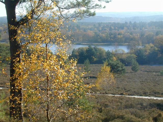
From the top of Furze Hill, visitors are treated to breathtaking panoramic views of the surrounding countryside. On clear days, it is possible to see as far as the South Downs, the North Downs, and even the distant London skyline.

The hill is a popular destination for locals and tourists alike, offering numerous walking and hiking trails that cater to all levels of fitness and ability. It is also a haven for wildlife, providing a habitat for various bird species, butterflies, and small mammals.

Close to Furze Hill is the Reigate Hill, a neighboring area of natural beauty. Together, these two hills form a scenic backdrop for the nearby town of Reigate. The surrounding countryside offers opportunities for outdoor activities such as picnicking, photography, and exploring the rich flora and fauna.

Overall, Furze Hill in Surrey is a stunning natural landmark that showcases the beauty of the English countryside and offers a peaceful retreat for those seeking to immerse themselves in nature.

If you have any feedback on the listing, please let us know in the comments section below.
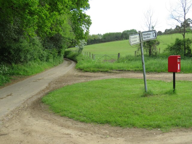
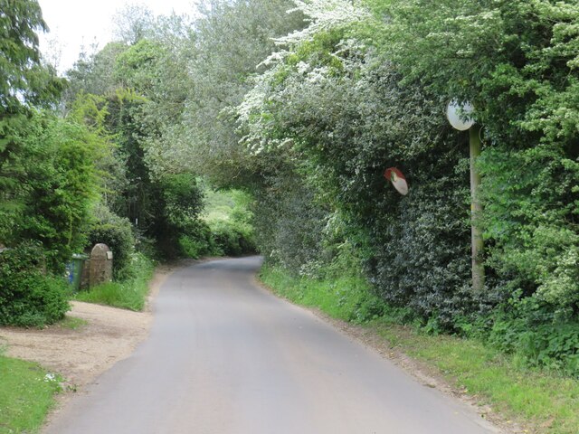
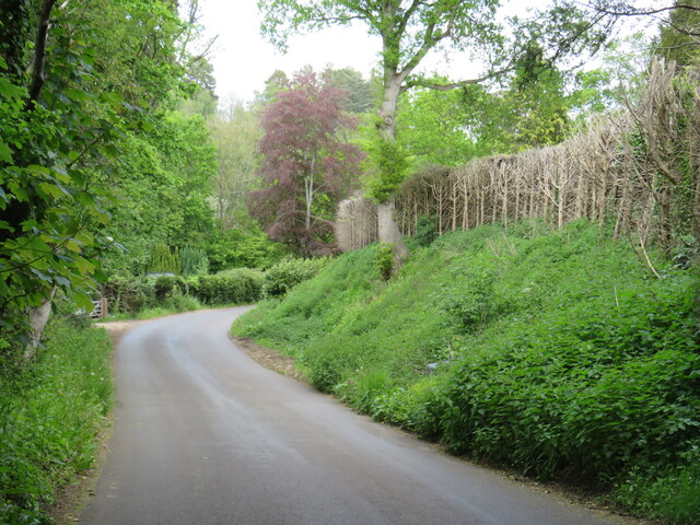
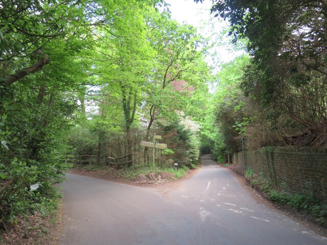
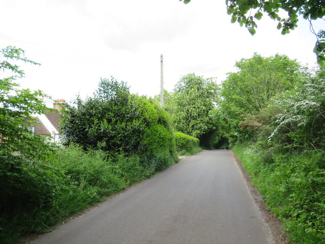
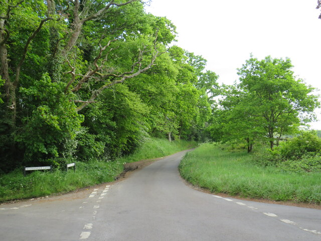
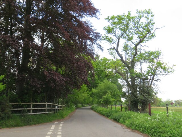
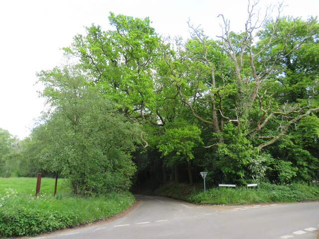
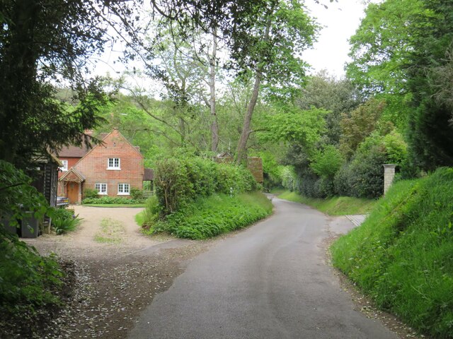
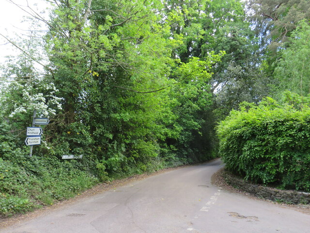
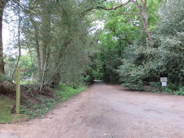
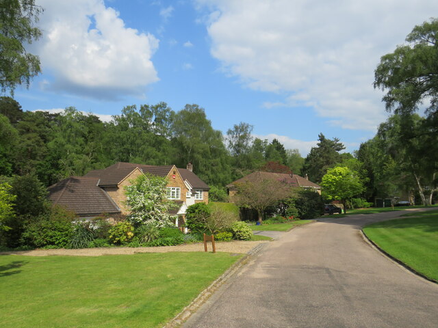
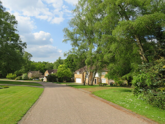
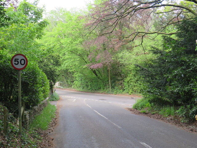
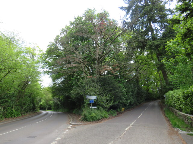
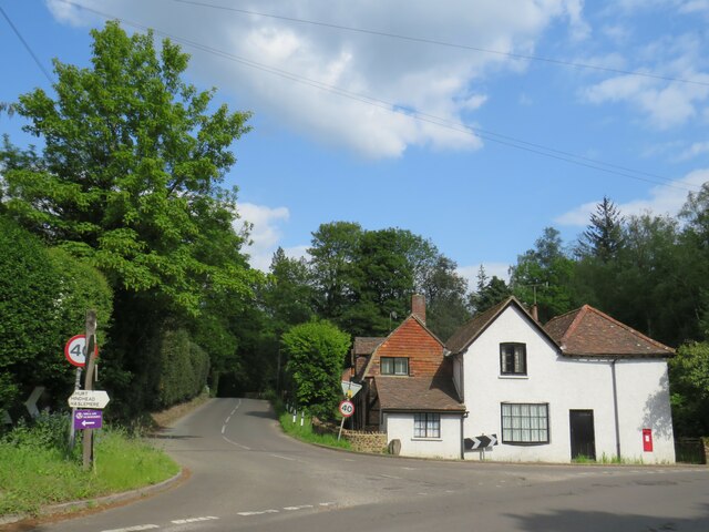
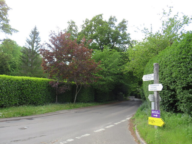
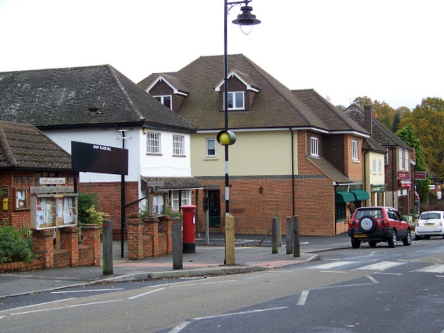
Furze Hill Images

Images are sourced within 2km of 51.145522/-0.79075743 or Grid Reference SU8439. Thanks to Geograph Open Source API. All images are credited.

Smithfield Lane, near Bordon Smithfield Lane is a minor lane through the Hampshire countryside, close to the border with Surrey.  A small post pox stands at the junction with Frensham Lane.
Smithfield Lane, near Bordon
Smithfield Lane is a minor lane through the Hampshire countryside, close to the border with Surrey. A small post pox stands at the junction with Frensham Lane.
Frensham Lane, near Bordon Frensham Lane is a minor lane through Hampshire countryside, close to the border with Surrey.  Driveways emerge onto the lane from the left.  Visibility for drivers turning onto the lane is quite limited, therefore safety mirrors have been installed to the right to give drivers a clearer view of anything passing when they are turning onto the lane.
Frensham Lane, near Bordon
Frensham Lane is a minor lane through Hampshire countryside, close to the border with Surrey. Driveways emerge onto the lane from the left. Visibility for drivers turning onto the lane is quite limited, therefore safety mirrors have been installed to the right to give drivers a clearer view of anything passing when they are turning onto the lane.
Frensham Lane, near Bordon Frensham Lane is a minor lane through Hampshire countryside, close to the border with Surrey.
Frensham Lane, near Bordon
Frensham Lane is a minor lane through Hampshire countryside, close to the border with Surrey.
Lane junction near Bordon A junction of minor lanes in Hampshire countryside, close to the border with Surrey.  A direction sign stands at the junction.  Over time, sap from overhanging trees has dripped onto the sign, partly obscuring it.
Lane junction near Bordon
A junction of minor lanes in Hampshire countryside, close to the border with Surrey. A direction sign stands at the junction. Over time, sap from overhanging trees has dripped onto the sign, partly obscuring it.
Frensham Lane, near Bordon Frensham Lane is a minor road through countryside in Hampshire, close to the border with Surrey.  Here it passes a farm on the left.
Frensham Lane, near Bordon
Frensham Lane is a minor road through countryside in Hampshire, close to the border with Surrey. Here it passes a farm on the left.
Bacon Lane, near Farnham Bacon Lane is a minor lane through countryside on the borers of Hampshire and Surrey.  At this point it is in Hampshire, but will cross the county boundary into Surrey less than a kilometre away.
Bacon Lane, near Farnham
Bacon Lane is a minor lane through countryside on the borers of Hampshire and Surrey. At this point it is in Hampshire, but will cross the county boundary into Surrey less than a kilometre away.
Bacon Lane, near Farnham Bacon Lane is a minor lane through countryside on the borders of Hampshire and Surrey.  Here, it is in Hampshire but will cross the boundary into Surrey about a kilometre ahead.
Bacon Lane, near Farnham
Bacon Lane is a minor lane through countryside on the borders of Hampshire and Surrey. Here, it is in Hampshire but will cross the boundary into Surrey about a kilometre ahead.
Bacon Lane, near Farnham Bacon Lane is a minor lane through countryside on the borders of Hampshire and Surrey.  In this view, it is in Hampshire.
Bacon Lane, near Farnham
Bacon Lane is a minor lane through countryside on the borders of Hampshire and Surrey. In this view, it is in Hampshire.
Wishanger Lane, near Farnham Wishanger Lane is a minor lane through countryside and woodland on the borders of Hampshire and Surrey.  Here, as it disappears into the trees, it is in Hampshire but will cross the boundary into Surrey less than half a kilometre away.
Wishanger Lane, near Farnham
Wishanger Lane is a minor lane through countryside and woodland on the borders of Hampshire and Surrey. Here, as it disappears into the trees, it is in Hampshire but will cross the boundary into Surrey less than half a kilometre away.
Wishanger Lane, near Farnham Wishanger Lane is a minor road through countryside on the borders of Hampshire and Surrey.  Here the lane passes a house on the Hampshire side of the border.  The lane will cross into Surrey about 200 metres further ahead.
Wishanger Lane, near Farnham
Wishanger Lane is a minor road through countryside on the borders of Hampshire and Surrey. Here the lane passes a house on the Hampshire side of the border. The lane will cross into Surrey about 200 metres further ahead.
Lampard Lane, Churt, near Farnham Lampard Lane is a minor lane on the edge of the Surrey village of Churt, very close to the border with Hampshire.
Lampard Lane, Churt, near Farnham
Lampard Lane is a minor lane on the edge of the Surrey village of Churt, very close to the border with Hampshire.
Public bridleway, Churt, near Farnham A public bridleway along a driveway on the edge of the village of Churt, in Surrey.  This location is very close to the border with Hampshire.
Public bridleway, Churt, near Farnham
A public bridleway along a driveway on the edge of the village of Churt, in Surrey. This location is very close to the border with Hampshire.
Star Hill Drive, Churt, near Farnham Star Hill Drive is a residential cul-de-sac on the edge of the village of Churt in Surrey.
Star Hill Drive, Churt, near Farnham
Star Hill Drive is a residential cul-de-sac on the edge of the village of Churt in Surrey.
Star Hill Drive, Churt, near Farnham Star Hill Drive is a residential cul-de-sac on the edge of the village of Churt in Surrey.
Star Hill Drive, Churt, near Farnham
Star Hill Drive is a residential cul-de-sac on the edge of the village of Churt in Surrey.
Star Hill, Churt, near Farnham Star Hill is a minor road on the edge of the village of Churt, in Surrey.  Here, the road approaches a junction with the A287.  The sign to the left of the image is a "repeater" sign reminding motorists that a speed limit of 50 miles per hour applies here.
Star Hill, Churt, near Farnham
Star Hill is a minor road on the edge of the village of Churt, in Surrey. Here, the road approaches a junction with the A287. The sign to the left of the image is a "repeater" sign reminding motorists that a speed limit of 50 miles per hour applies here.
Road junction in Churt, near Farnham A road junction on the edge of the village of Churt in Surrey.  The road to the left is the A287.
Road junction in Churt, near Farnham
A road junction on the edge of the village of Churt in Surrey. The road to the left is the A287.
The Old Post Office, Churt, near Farnham The Old Post Office stands at the corner of Jumps Road in the Surrey village of Churt.  As its name suggests, this building was once a post office.  It stall has a post box in the wall, to the right of the image.

The road passing in the foreground is the A287.
The Old Post Office, Churt, near Farnham
The Old Post Office stands at the corner of Jumps Road in the Surrey village of Churt. As its name suggests, this building was once a post office. It stall has a post box in the wall, to the right of the image. The road passing in the foreground is the A287.
A287 at Churt, near Farnham The A287 road at Churt in Surrey.
A287 at Churt, near Farnham
The A287 road at Churt in Surrey.
Show me another place!

Furze Hill is located at Grid Ref: SU8439 (Lat: 51.145522, Lng: -0.79075743)

Administrative County: Surrey

District: Waverley

Police Authority: Surrey

What 3 Words

///majors.circulate.neutron. Near Churt, Surrey

Nearby Locations

Hales Copse Furze Hill

Related Wikis

Churt

Churt is a village and civil parish in the borough of Waverley in Surrey, England, about 5.5 miles (8.9 km) south of the town of Farnham on the A287 road...

Frensham

Frensham is a village in Surrey, England, next to the A287 road, 13 miles (20.9 km) WSW of Guildford, the county town. Frensham lies on the right bank...

Devil's Jumps, Churt

The Devil's Jumps are a series of three small hills near the village of Churt in the county of Surrey in southern England. In the 18th century, the hills...

Pierrepont School, Frensham

Pierrepont School, Frensham, originally known as Pierrepont House School, was a private school in Surrey, England, with day pupils as well as boarders...

Barford, Hampshire

Barford is a scattered hamlet in the civil parish of Headley in the East Hampshire district of Hampshire, England. The village lies on the Hampshire-Surrey...

Dockenfield

Dockenfield is a village and civil parish in the borough of Waverley in Surrey, England. The parish is undulating, has a number of sources of the River...

Frensham Common

Frensham Common is a large Site of Special Scientific Interest (SSSI) heathland of 373 hectares (922 acres) which includes two lakes; it is owned and...

Arford

Arford is a village in the East Hampshire district of Hampshire, England, just north of the B3002 road, and is part of the civil parish of Headley. The...

Related Videos

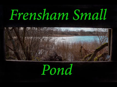
Windy Walk Around Frensham Small Pond

A beautiful windy weekend walk around Frensham Small Pond. Frensham Small Pond was originally created in the 13th Century ...

Frensham Great Pond | A Beach in Farnham | Surrey | Family day out | Nissan Elgrand | Van Life

Family day out vlog to Frensham Great Pond In Farnham, Surrey followed by Mason driving the min Land Rovers. Music by ...

FRENSHAM POND BEACH, National Trust, Surrey

FRENSHAM POND BEACH, National Trust, Surrey - Frensham Great Pond and Common is a Green Flag Award winning site, ...

Old Man Singing In The Rain Sculpture #old #rain #sculpture #singing #fun

Amazing large scale sculpture of a man with an umbrella and his briefcase. #shortswithcamilla #thedrivebygg.

Nearby Amenities

Located within 500m of 51.145522,-0.79075743
Churt House
Building: yes
Source: npe
Lat/Long: 51.1479469/-0.7876376
Bus Stop
Churt House
Bus: yes
Naptan AtcoCode: 40004411968A
Naptan Bearing: N
Naptan CommonName: Churt House
Naptan Indicator: Opp
Naptan Landmark: Churt House
Naptan NaptanCode: surgmtgd
Naptan Street: Churt Road
Naptan Verified: no
Public Transport: platform
Source: naptan_import
Lat/Long: 51.148023/-0.7885209
Bus Stop
Churt House
Bus: yes
Naptan AtcoCode: 40004411969A
Naptan Bearing: S
Naptan CommonName: Churt House
Naptan Indicator: Just after
Naptan Landmark: Churt House
Naptan NaptanCode: surgmtgj
Naptan Street: Churt Road
Naptan Verified: no
Public Transport: platform
Source: naptan_import
Lat/Long: 51.1474722/-0.7883066
Post Box
Lat/Long: 51.1443917/-0.7848933
Birchwood
Building: house
Source: OS_OpenData_StreetView
Lat/Long: 51.1491815/-0.7926518
Coppice Cottage
Building: house
Source: OS_OpenData_StreetView
Lat/Long: 51.1468152/-0.7921576
Field House
Building: house
Source: OS_OpenData_StreetView
Wikidata: Q26474147
Lat/Long: 51.1478729/-0.7957091
Furze Hills Farm and Stud
Landuse: farm
Note Retag: CS #48756035
Source: OS_OpenData_StreetView
Lat/Long: 51.1416435/-0.7887624
Symondstone Farm
Landuse: farm
Note Retag: CS #48756035
Source: OS_OpenData_StreetView
Lat/Long: 51.1433199/-0.793504
The data included in this document is from www.openstreetmap.org. The data is made available under ODbL.

Have you been to Furze Hill?

Leave your review of Furze Hill below (or comments, questions and feedback).