Hunger Hill
Hill, Mountain in Yorkshire
England
Hunger Hill

Hunger Hill is a prominent hill located in the county of Yorkshire, England. Situated in the South Pennines, it forms part of the vast landscape of the Peak District National Park. Rising to an elevation of approximately 415 meters (1,361 feet), Hunger Hill is a notable feature that offers breathtaking views of the surrounding countryside.
The hill is characterized by its distinct shape and rugged terrain. Covered in heather and grasses, it provides a haven for various species of flora and fauna. The slopes of Hunger Hill are a popular destination for hikers and outdoor enthusiasts, who can explore the numerous walking trails that crisscross the area. These routes showcase the diverse natural beauty of the region, including picturesque valleys, ancient woodlands, and charming villages.
At the summit of Hunger Hill, visitors are rewarded with panoramic vistas that stretch for miles. On a clear day, one can admire the rolling hills and moorlands that typify the Yorkshire landscape. The hill's strategic location also allows for stunning views of the nearby reservoirs, such as Ryburn and Scammonden, which shimmer in the sunlight.
Hunger Hill is steeped in history and folklore. It is said that the name "Hunger" derives from a time when the area experienced a severe famine, although the exact origins remain uncertain. Nevertheless, the hill remains an important landmark in the region, attracting tourists and locals alike, who seek solace in its tranquil and awe-inspiring surroundings.
If you have any feedback on the listing, please let us know in the comments section below.
Hunger Hill Images
Images are sourced within 2km of 53.931795/-0.75453699 or Grid Reference SE8149. Thanks to Geograph Open Source API. All images are credited.


Hunger Hill is located at Grid Ref: SE8149 (Lat: 53.931795, Lng: -0.75453699)
Division: East Riding
Unitary Authority: East Riding of Yorkshire
Police Authority: Humberside
What 3 Words
///slurping.gliding.sober. Near Pocklington, East Yorkshire
Nearby Locations
Related Wikis

Woldgate School and Sixth Form College
Woldgate School (formerly College) is a coeducational secondary school and sixth form on Kilnwick Road in Pocklington, East Riding of Yorkshire, England...
Pocklington Iron Age burial ground
The Pocklington Iron Age burial ground is a prehistoric cemetery discovered in 2014 on the outskirts of Pocklington in the East Riding of Yorkshire, England...
Kilnwick Percy
Kilnwick Percy is a village and former civil parish, now in the parish of Nunburnholme, in the East Riding of Yorkshire, England. It is situated approximately...

Burnby Hall Gardens
Burnby Hall Gardens, also known as Stewart's Burnby Hall Gardens and Museum, are located close to the centre of Pocklington, East Riding of Yorkshire,...

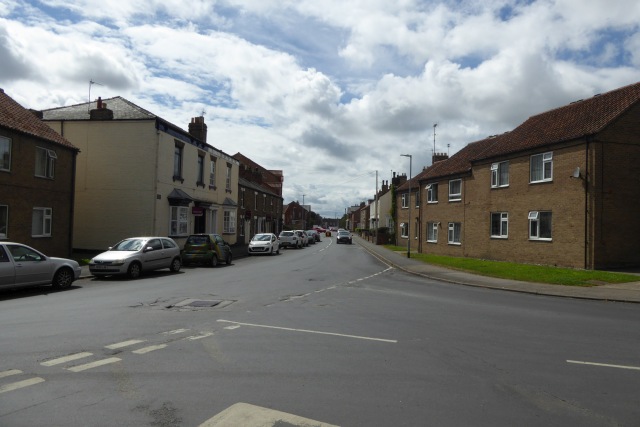
Pocklington
Pocklington is a market town and civil parish at the foot of the Yorkshire Wolds in the East Riding of Yorkshire, England. At the 2011 Census, its population...

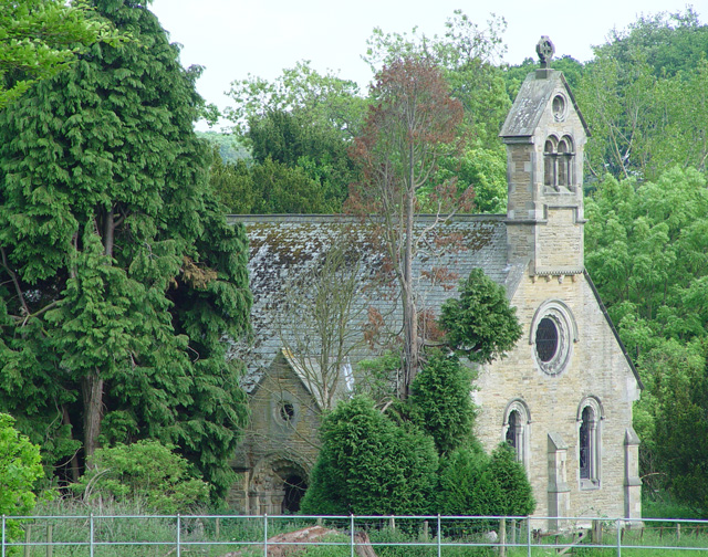
Church of All Saints, Pocklington
All Saints’ Church, Pocklington is the Anglican parish church for the town of Pocklington, East Riding of Yorkshire, England. It is also known locally...
Pocklington Rural District
Pocklington was a rural district in the East Riding of Yorkshire, England from 1894 to 1974.The district surrounded but did not originally include Pocklington...
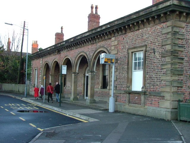
Pocklington railway station
Pocklington railway station was a station on the York to Beverley Line that served the town of Pocklington, East Riding of Yorkshire, England. It opened...
Nearby Amenities
Located within 500m of 53.931795,-0.75453699Have you been to Hunger Hill?
Leave your review of Hunger Hill below (or comments, questions and feedback).