Cuckoo Hill
Hill, Mountain in Leicestershire Melton
England
Cuckoo Hill
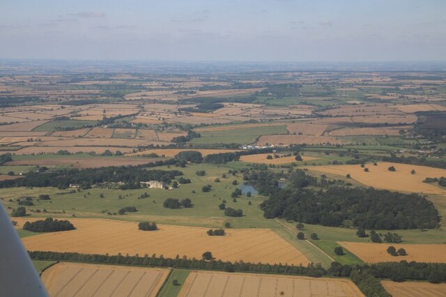
Cuckoo Hill is a prominent geographical feature located in the county of Leicestershire, England. Situated in the Charnwood Forest, this hill is known for its picturesque beauty and historical significance.
Rising to an elevation of approximately 248 meters (814 feet), Cuckoo Hill offers panoramic views of the surrounding countryside, making it a popular destination for hikers and nature enthusiasts. The hill is covered in a dense canopy of trees, primarily consisting of beech, oak, and birch, which adds to its aesthetic appeal. The vegetation on the hill supports a diverse range of wildlife, including various bird species, small mammals, and insects.
Cuckoo Hill holds historical importance as it was once a significant site for iron ore mining during the 19th century. The mining activities have left behind remnants of old mine shafts and spoil heaps, adding an element of historical intrigue to the area. Visitors can still observe these remnants, which serve as a reminder of the region's industrial past.
In addition to its natural and historical attractions, Cuckoo Hill also offers recreational opportunities. There are well-maintained footpaths and trails that crisscross the hill, providing ample opportunities for walking, jogging, and cycling. The hill is also a favorite spot for picnickers, with designated areas offering stunning views and a peaceful atmosphere.
Overall, Cuckoo Hill in Leicestershire is a captivating blend of natural beauty, historical significance, and recreational opportunities. Its lush greenery, diverse wildlife, and interesting remnants from the past make it a must-visit destination for those seeking tranquility and a connection to nature.
If you have any feedback on the listing, please let us know in the comments section below.
Cuckoo Hill Images
Images are sourced within 2km of 52.740353/-0.81092696 or Grid Reference SK8016. Thanks to Geograph Open Source API. All images are credited.


Cuckoo Hill is located at Grid Ref: SK8016 (Lat: 52.740353, Lng: -0.81092696)
Administrative County: Leicestershire
District: Melton
Police Authority: Leicestershire
What 3 Words
///stale.chess.unions. Near Wymondham, Leicestershire
Nearby Locations
Related Wikis
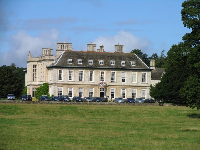
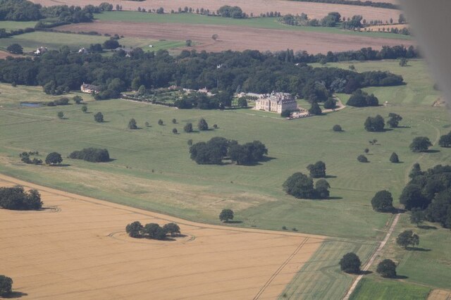
Stapleford Park
Stapleford Park is a Grade I listed country house in Stapleford, near Melton Mowbray in Leicestershire, England, which is now used as a hotel. It was originally...

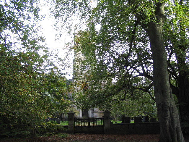
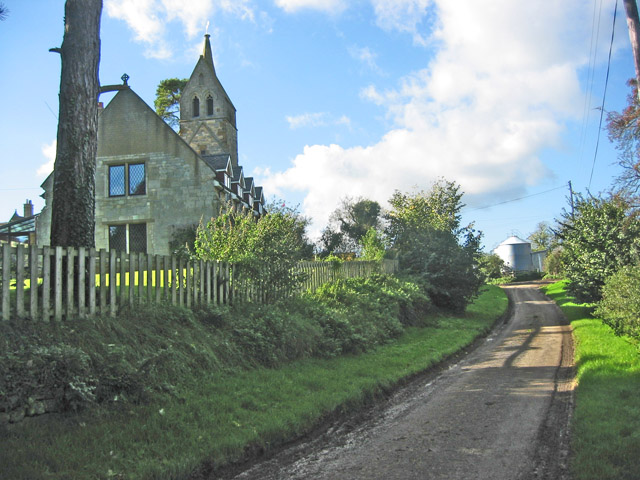
St Mary Magdalene's Church, Stapleford
St Mary Magdalene's Church is a redundant Anglican church near the village of Stapleford, Leicestershire, England. It is recorded in the National Heritage...

Stapleford Miniature Railway
Stapleford Miniature Railway is an historic steam locomotive-hauled 10+1⁄4 in (260 mm) gauge railway at Stapleford Park, Stapleford near Melton Mowbray...

Stapleford, Leicestershire
Stapleford is a village and former civil parish, now in the parish of Freeby, in the Melton district of Leicestershire, England, east of Melton Mowbray...
Brentingby
Brentingby is a village in Leicestershire, England.The population is included in the civil parish of Freeby. The village's name means either 'farm/settlement...

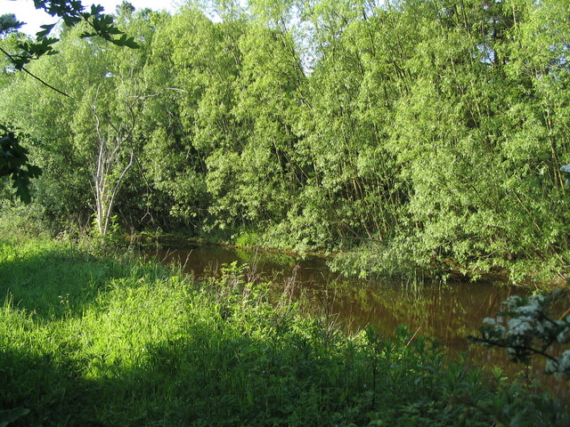
Langham Brook
The Langham Brook is a watercourse in the East Midlands of England. It is a tributary of the River Eye and part of the River Soar catchment. == Course... ==
Wymondham Rough
Wymondham Rough is a 6.0 hectares (15 acres) biological Site of Special Scientific Interest (SSSI) east of Stapleford in Leicestershire. The SSSI is part...

Saxby railway station
Saxby railway station was a station serving the villages of Saxby and Freeby, Leicestershire. It was located between the two villages. == Access == The...
Nearby Amenities
Located within 500m of 52.740353,-0.81092696Have you been to Cuckoo Hill?
Leave your review of Cuckoo Hill below (or comments, questions and feedback).