Busk Hill
Hill, Mountain in Yorkshire Ryedale
England
Busk Hill
Busk Hill is a prominent natural landmark located in the county of Yorkshire, England. Situated in the picturesque rural area of the Yorkshire Dales, it is classified as a hill rather than a mountain due to its elevation of approximately 400 meters above sea level. The hill is known for its outstanding natural beauty, attracting visitors and nature enthusiasts from both local and international destinations.
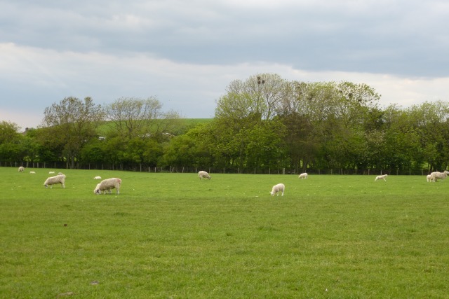
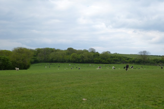
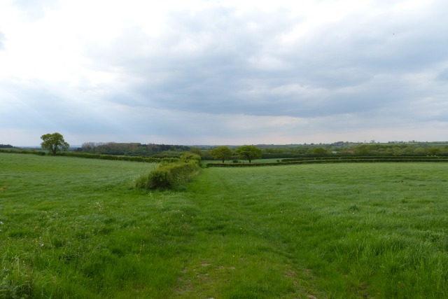
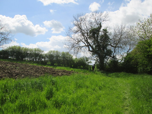
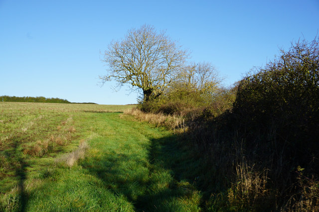
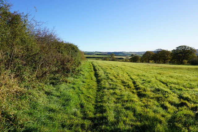
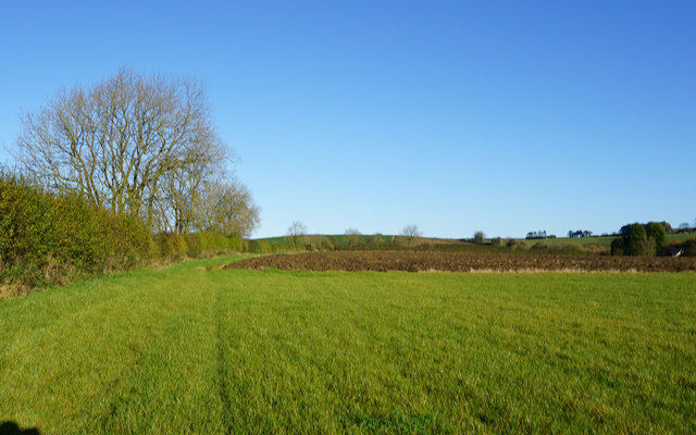
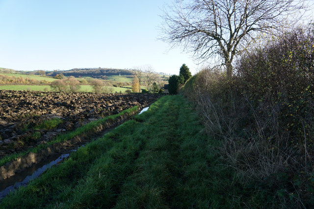
Covered in lush greenery, Busk Hill offers breathtaking panoramic views of the surrounding countryside. Its slopes are adorned with a variety of flora and fauna, including heather, gorse, and wildflowers, making it an ideal location for hikers, walkers, and birdwatchers. The hill is also home to a diverse range of wildlife, including rabbits, foxes, and various species of birds.
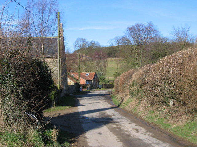
The terrain of Busk Hill is characterized by rolling grassy slopes and rocky outcrops, providing a challenging yet rewarding experience for outdoor enthusiasts. Numerous footpaths and trails traverse the hill, allowing visitors to explore its natural wonders and take in the surrounding landscape.
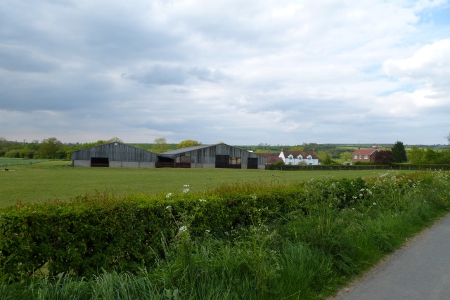
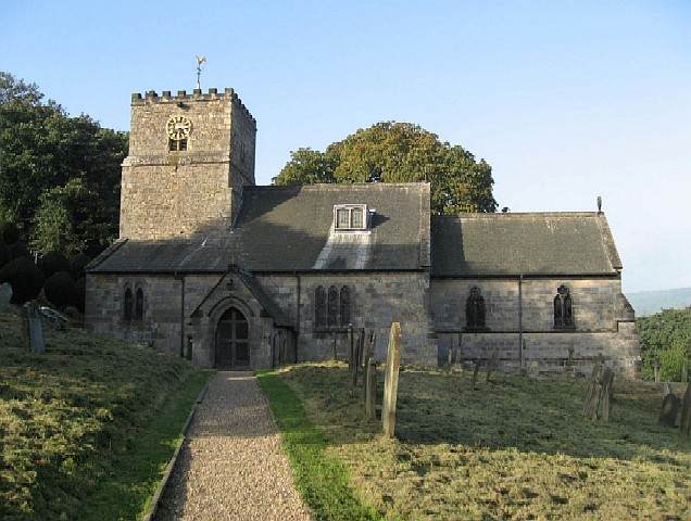
In addition to its natural beauty, Busk Hill holds historical significance. It has been used as common grazing land for centuries, and remnants of old dry-stone walls can still be seen, serving as a reminder of the area's agricultural past. The hill also boasts of a rich cultural heritage, with nearby villages hosting traditional events and festivals that celebrate the local history and traditions.
Overall, Busk Hill is a captivating destination that offers a blend of natural beauty, outdoor activities, and historical significance. Whether for leisurely walks, wildlife spotting, or simply enjoying the stunning views, Busk Hill promises an unforgettable experience for all who visit.
If you have any feedback on the listing, please let us know in the comments section below.
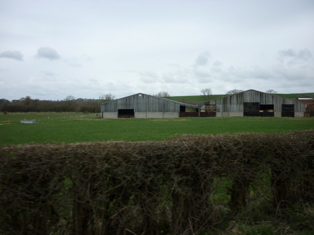
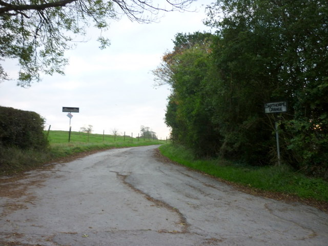
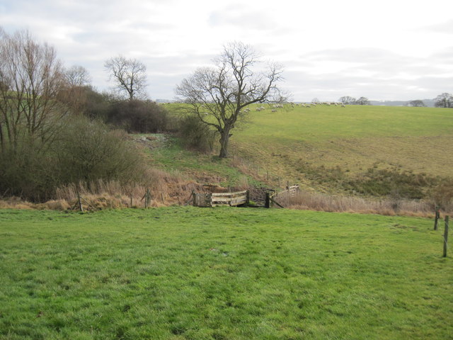
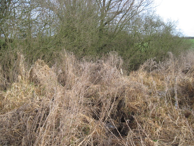
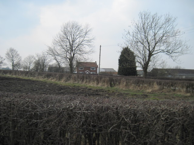
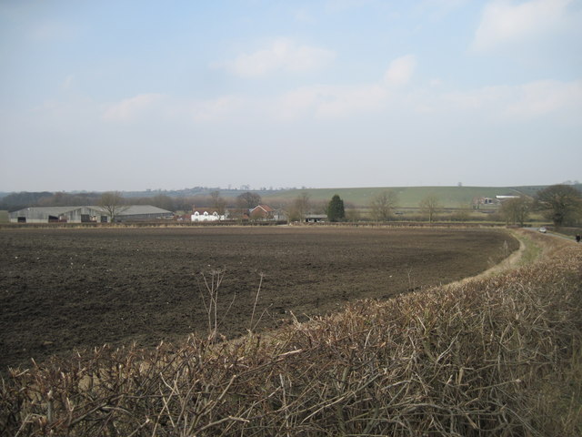
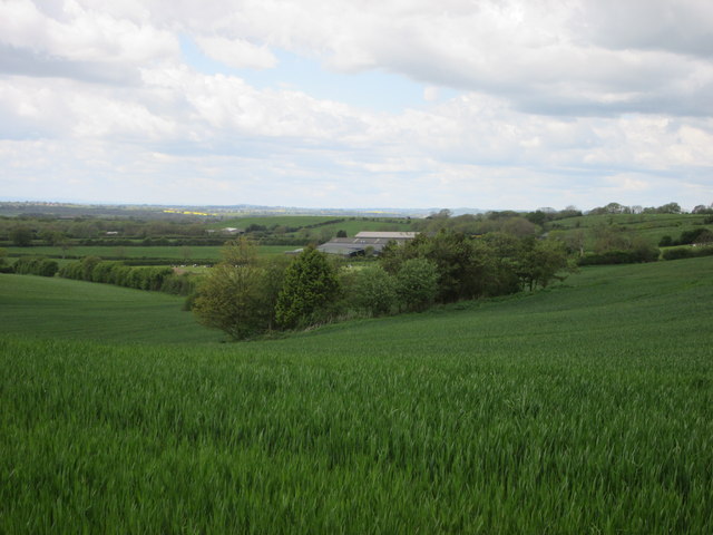
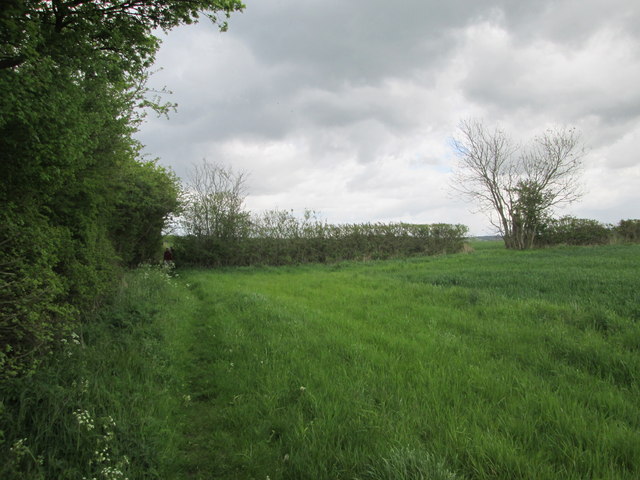
Busk Hill Images
Images are sourced within 2km of 54.036096/-0.81963045 or Grid Reference SE7760. Thanks to Geograph Open Source API. All images are credited.
Busk Hill is located at Grid Ref: SE7760 (Lat: 54.036096, Lng: -0.81963045)
Division: East Riding
Administrative County: North Yorkshire
District: Ryedale
Police Authority: North Yorkshire
What 3 Words
///investors.forecast.passage. Near Bugthorpe, East Yorkshire
Nearby Locations
Related Wikis

Leppington, North Yorkshire
Leppington is a hamlet and former civil parish, now in the parish of Scrayingham, in North Yorkshire, England, and is 12 miles (19 km) north-east from...
Acklam, Ryedale
Acklam is a small village and civil parish in North Yorkshire, England. It is situated approximately 12 miles (20 km) north-east of York city centre and...

Minster FM
Minster FM was an Independent Local Radio station serving York and the surrounding areas such as Selby, Tadcaster, Thirsk, Northallerton and Goole. The...

Leavening, North Yorkshire
Leavening is a village and civil parish in the Ryedale district of North Yorkshire, England. The village is situated approximately 13 miles (20 km) north...

Bugthorpe
Bugthorpe is a village and civil parish in the East Riding of Yorkshire, England, about 11 miles (18 km) east of York and 16 miles (26 km) west of Driffield...

Garrowby
Garrowby is a hamlet in the East Riding of Yorkshire, England. It is situated approximately 5 miles (8 km) north of Pocklington town centre. It lies to...
Kirby Underdale
Kirby Underdale is a village and civil parish in the East Riding of Yorkshire, England. It is situated approximately six miles (ten kilometres) north...

Buckrose
Buckrose was a wapentake of the historic East Riding of Yorkshire, England consisting of the north-west part of the county; its territory is now partly...
Nearby Amenities
Located within 500m of 54.036096,-0.81963045Have you been to Busk Hill?
Leave your review of Busk Hill below (or comments, questions and feedback).