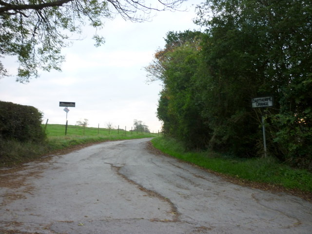
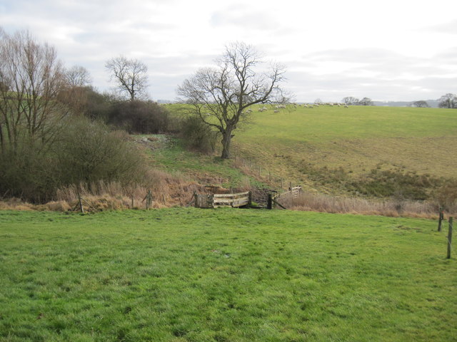
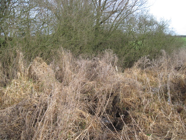
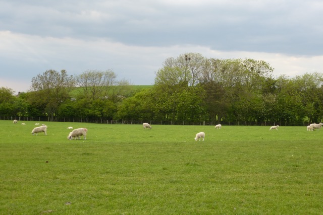
Dennings Plantation
Wood, Forest in Yorkshire Ryedale
England
Dennings Plantation
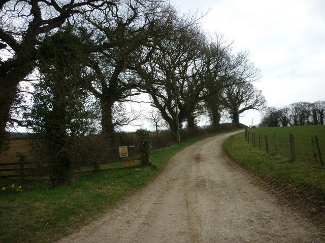
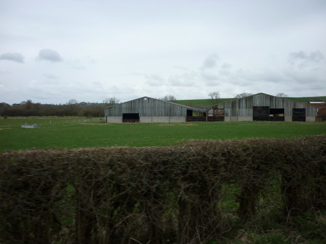
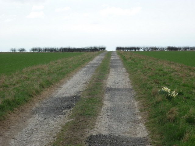
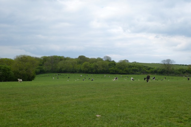
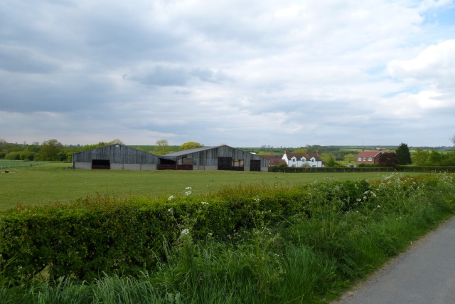
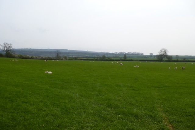
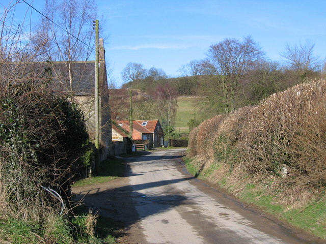
Dennings Plantation is a picturesque woodland located in the county of Yorkshire, England. Situated in the heart of the region, this thriving forest covers a vast area, spanning several acres. The plantation is known for its rich biodiversity and stunning natural beauty, attracting nature enthusiasts and visitors from far and wide.
The woodland is predominantly composed of a variety of deciduous trees, including oak, beech, and ash. These majestic trees provide a canopy that offers shade and shelter to the numerous wildlife species that call Dennings Plantation home. The forest floor is adorned with a lush carpet of ferns, bluebells, and wildflowers, creating a vibrant and colorful landscape.
Dennings Plantation is not only visually captivating but also serves as an important habitat for a diverse range of fauna. The woodland is home to a plethora of bird species, including woodpeckers, owls, and various songbirds, filling the air with their melodious tunes. Foxes, deer, and rabbits are among the mammalian inhabitants that can be spotted within the forest.
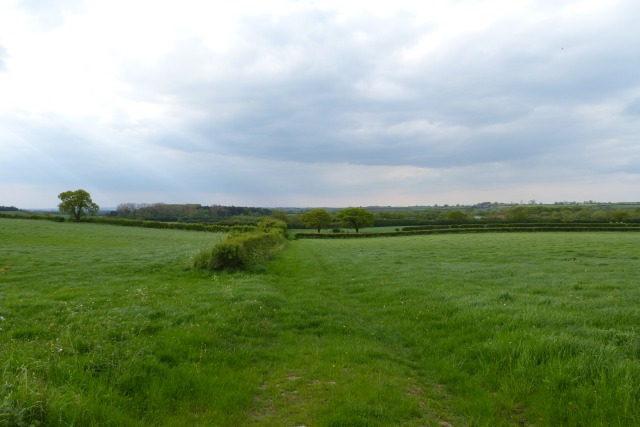
Visitors to Dennings Plantation can enjoy a peaceful and serene environment, perfect for hiking, picnicking, or simply immersing oneself in nature. The forest is crisscrossed with well-maintained trails, allowing for easy exploration of its hidden corners. Additionally, there are designated areas for camping and barbecues, providing opportunities for overnight stays and outdoor gatherings.
Dennings Plantation, with its captivating beauty and diverse ecosystem, offers a tranquil retreat for nature lovers and a valuable habitat for wildlife. It stands as a testament to the natural wonders of Yorkshire's woodlands and serves as a reminder of the importance of preserving such habitats for future generations to enjoy.
If you have any feedback on the listing, please let us know in the comments section below.
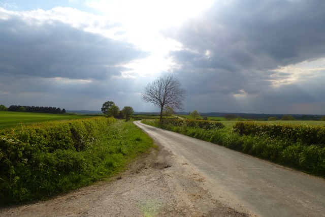
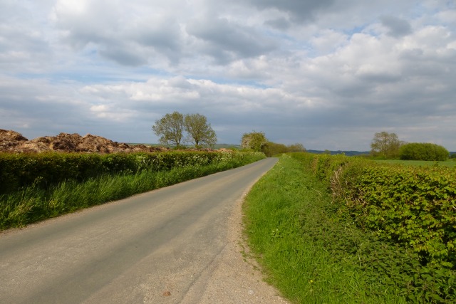
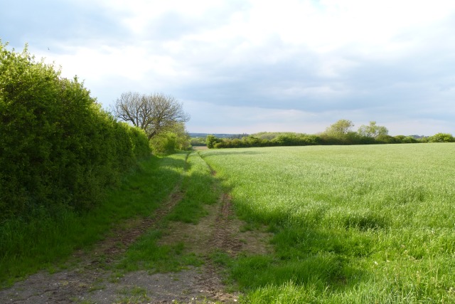
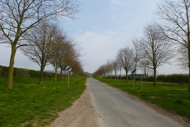
Dennings Plantation Images
Images are sourced within 2km of 54.030979/-0.81933261 or Grid Reference SE7760. Thanks to Geograph Open Source API. All images are credited.

Dennings Plantation is located at Grid Ref: SE7760 (Lat: 54.030979, Lng: -0.81933261)
Division: East Riding
Administrative County: North Yorkshire
District: Ryedale
Police Authority: North Yorkshire
What 3 Words
///spooked.butterfly.stated. Near Bugthorpe, East Yorkshire
Nearby Locations
Related Wikis

Leppington, North Yorkshire
Leppington is a hamlet and former civil parish, now in the parish of Scrayingham, in North Yorkshire, England, and is 12 miles (19 km) north-east from...
Acklam, Ryedale
Acklam is a small village and civil parish in North Yorkshire, England. It is situated approximately 12 miles (20 km) north-east of York city centre and...

Bugthorpe
Bugthorpe is a village and civil parish in the East Riding of Yorkshire, England, about 11 miles (18 km) east of York and 16 miles (26 km) west of Driffield...

Minster FM
Minster FM was an Independent Local Radio station serving York and the surrounding areas such as Selby, Tadcaster, Thirsk, Northallerton and Goole. The...

Leavening, North Yorkshire
Leavening is a village and civil parish in the Ryedale district of North Yorkshire, England. The village is situated approximately 13 miles (20 km) north...

Garrowby
Garrowby is a hamlet in the East Riding of Yorkshire, England. It is situated approximately 5 miles (8 km) north of Pocklington town centre. It lies to...
Kirby Underdale
Kirby Underdale is a village and civil parish in the East Riding of Yorkshire, England. It is situated approximately six miles (ten kilometres) north...

Uncleby
Uncleby is a hamlet in the East Riding of Yorkshire, England. It forms part of the civil parish of Kirby Underdale. It is situated approximately 6.5 miles...
Nearby Amenities
Located within 500m of 54.030979,-0.81933261Have you been to Dennings Plantation?
Leave your review of Dennings Plantation below (or comments, questions and feedback).