Church Hill

Hill, Mountain in Leicestershire Harborough

England

Church Hill

Fields south-west of Slawston Looking along the supposed route of Via Devana on the north slope of the Welland valley
Fields south-west of Slawston Credit: Tim Heaton

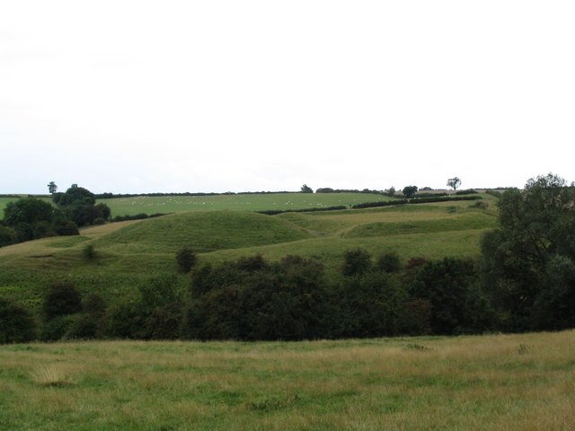
Church Hill is a prominent hill located in the county of Leicestershire, England. Situated in the southern part of the county, it forms part of the Charnwood Forest and offers panoramic views of the surrounding landscape. Despite its name, Church Hill is not home to any religious buildings, but rather derives its name from the nearby village of Church Hill.

Rising to an elevation of approximately 200 meters (656 feet), Church Hill is one of the highest points in Leicestershire. Its strategic location provides visitors with breathtaking views of the rolling countryside, encompassing lush green fields, dense forests, and quaint villages that dot the landscape. On clear days, it is even possible to see as far as the city of Leicester, located approximately 12 kilometers (7.5 miles) to the east.

The hill itself is a popular destination for outdoor enthusiasts, offering a range of activities such as hiking, walking, and nature exploration. Several well-marked trails crisscross the area, allowing visitors to explore the diverse flora and fauna that thrive in this natural habitat. The hill is also home to a variety of bird species, making it an excellent spot for birdwatching.

Church Hill is easily accessible by foot or car, with ample parking available nearby. Its tranquil surroundings and stunning views make it a favored destination for locals and tourists alike, providing a serene escape from the hustle and bustle of everyday life. Whether one seeks to enjoy a peaceful walk, admire the natural beauty, or simply take in the breathtaking vistas, Church Hill offers a memorable experience for all who visit.

If you have any feedback on the listing, please let us know in the comments section below.
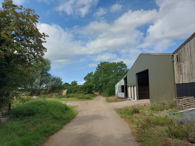
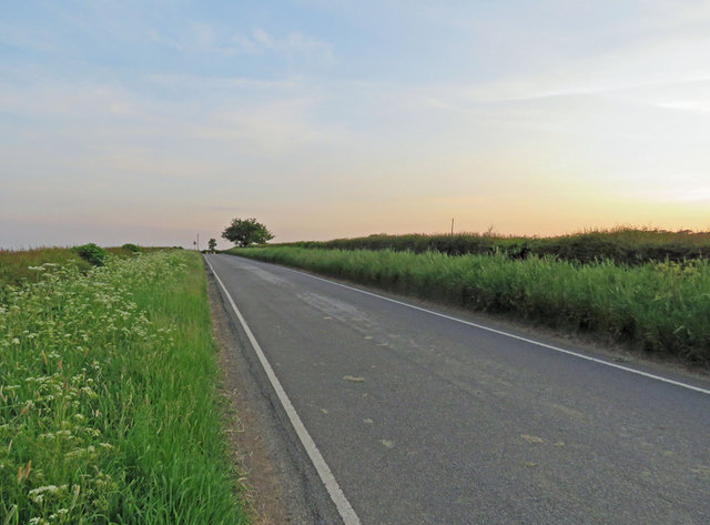
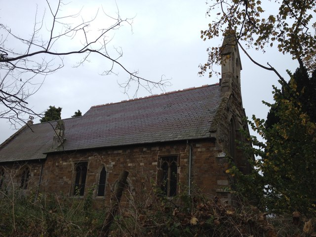
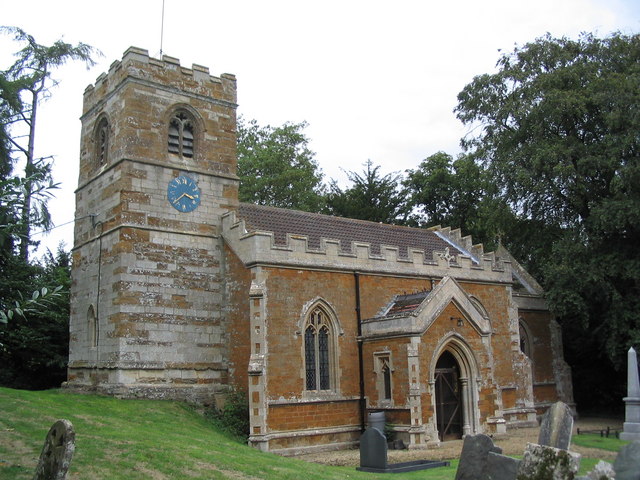
Church Hill Images

Images are sourced within 2km of 52.554471/-0.87529604 or Grid Reference SP7695. Thanks to Geograph Open Source API. All images are credited.

Fields south-west of Slawston Looking along the supposed route of Via Devana on the north slope of the Welland valley
Fields south-west of Slawston
Looking along the supposed route of Via Devana on the north slope of the Welland valley
View towards Romans Farm The supposed route of the Roman road, Via Devana, runs across the view next to the farm. But it is not clear to me when the farm was built, or when it acquired its 'Roman' name. I can only find it on modern OS maps, not on late 19th or early 20th OS maps
View towards Romans Farm
The supposed route of the Roman road, Via Devana, runs across the view next to the farm. But it is not clear to me when the farm was built, or when it acquired its 'Roman' name. I can only find it on modern OS maps, not on late 19th or early 20th OS maps
Cycle Route 64 crossing Langton Lane, Cranoe A most enjoyable cycle route from Market Harborough (left) to Lincoln. Mostly gentle gradients, though a steep climb up the hill to the right.
Cycle Route 64 crossing Langton Lane, Cranoe
A most enjoyable cycle route from Market Harborough (left) to Lincoln. Mostly gentle gradients, though a steep climb up the hill to the right.
Fields south of Cranoe Looking along the supposed route of Via Devana on the north side of the Welland valley
Fields south of Cranoe
Looking along the supposed route of Via Devana on the north side of the Welland valley
Cranoe Road. View north-west towards Glooston On Cycle Route 64 after the climb up Church Hill, Cranoe
Cranoe Road. View north-west towards Glooston
On Cycle Route 64 after the climb up Church Hill, Cranoe
Andrew's Lane leaving the west side of Glooston
Andrew's Lane leading to Glooston
Bottle Kicking Bottle Kicking, a mass ball game involving the villagers of Hallaton and Medbourne and further afield. Simply deposit a small wooden barrel in the stream closest to your home village, twice and you have won. Rules appear to be straight forward, no eye gouging or strangling and no weapons. Otherwise the best rugby techniques will help. No allowance is made with the removal of hedges or barbed wire fences. 
An amazing and bonkers spectacle, brilliant fun. Long may it continue
Bottle Kicking
Bottle Kicking, a mass ball game involving the villagers of Hallaton and Medbourne and further afield. Simply deposit a small wooden barrel in the stream closest to your home village, twice and you have won. Rules appear to be straight forward, no eye gouging or strangling and no weapons. Otherwise the best rugby techniques will help. No allowance is made with the removal of hedges or barbed wire fences. An amazing and bonkers spectacle, brilliant fun. Long may it continue
Fields to the west of Welham Lane
Welham Lane towards Cranoe The Midshires Way long distance footpath follow this road at this point.
Welham Lane towards Cranoe
The Midshires Way long distance footpath follow this road at this point.
Welham Lane towards Welham The Midshires Way long distance footpath follow this road at this point.
Welham Lane towards Welham
The Midshires Way long distance footpath follow this road at this point.
Welham Lane south from Cranoe
Welham Lane towards Welham The Midshires Way long distance footpath follow this road at this point.
Welham Lane towards Welham
The Midshires Way long distance footpath follow this road at this point.
Gate into a field east of Welham Lane
Into the centre of Cranoe
Langton Road towards Cranoe
Langton Road towards Hallaton
Glooston Parish Church
Show me another place!

Church Hill is located at Grid Ref: SP7695 (Lat: 52.554471, Lng: -0.87529604)

Administrative County: Leicestershire

District: Harborough

Police Authority: Leicestershire

What 3 Words

///smothered.rising.tinted. Near Kibworth Harcourt, Leicestershire

Nearby Locations

Cranoe Church Hill

Related Wikis

Cranoe

Cranoe is a small village and civil parish in the Harborough district of Leicestershire, England. The parish had a population of 35 in 2001. The population...

Glooston

Glooston is a small village and civil parish in the Harborough district of Leicestershire, England. According to the 2001 census the parish had a population...
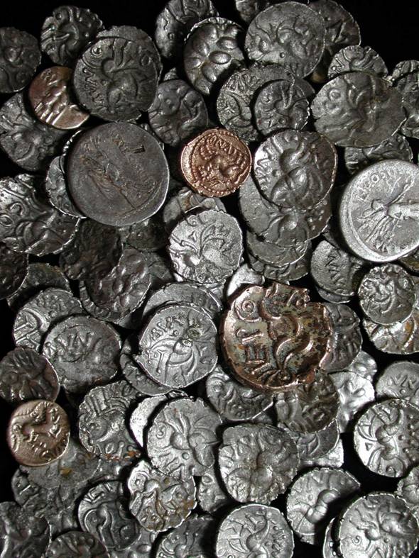
Hallaton Treasure

The Hallaton Treasure, the largest hoard of British Iron Age coins, was discovered in 2000 near Hallaton in southeast Leicestershire, England, by volunteers...

Hallaton Castle

Hallaton Castle was situated to the west of the village of Hallaton, which lies some 20 km to the south-east of the city of Leicester (grid reference SP780967...

Have you been to Church Hill?

Leave your review of Church Hill below (or comments, questions and feedback).