Devil's Hill
Hill, Mountain in Oxfordshire South Oxfordshire
England
Devil's Hill
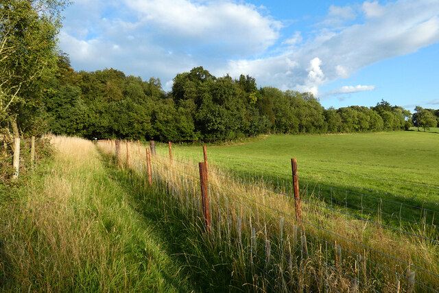
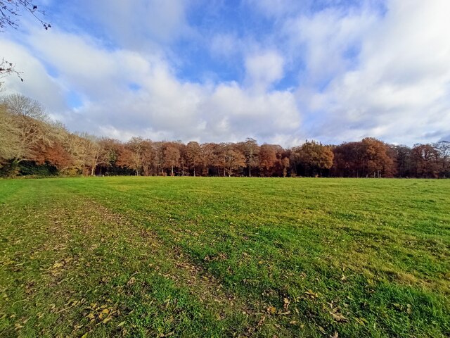
Devil's Hill, located in Oxfordshire, is a prominent hill that forms part of the scenic landscape in the region. Rising to an elevation of approximately 300 meters (984 feet), it is classified as a hill rather than a mountain due to its height. Situated in the Chiltern Hills, Devil's Hill offers breathtaking views of the surrounding countryside and is a popular destination for hikers, nature enthusiasts, and photographers.
The hill gets its intriguing name from local folklore that suggests it was once a gathering place for witches and dark spirits. However, the name may also be derived from the Old English word "dweles," which means "devil's." Despite its sinister name, Devil's Hill is a peaceful and picturesque location, attracting visitors who appreciate its natural beauty.
The hill is covered in lush green vegetation, including a variety of trees and wildflowers, which create a vibrant and colorful landscape. It is home to a diverse range of wildlife, including birds, mammals, and insects. Visitors can often spot deer, foxes, and various species of birds while exploring the hill.
Devil's Hill offers several walking trails that cater to different levels of difficulty, making it accessible to both experienced hikers and casual walkers. The trails meander through woodlands, open fields, and along the hill's slopes, providing opportunities to enjoy the stunning views and observe the local flora and fauna.
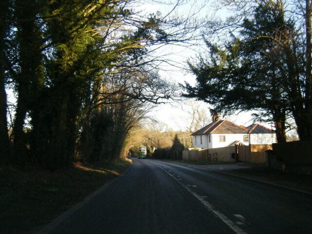
Due to its proximity to nearby towns and villages, Devil's Hill is a popular day trip destination for locals and tourists alike. Its combination of natural beauty, folklore, and recreational activities make it a must-visit location in Oxfordshire.
If you have any feedback on the listing, please let us know in the comments section below.
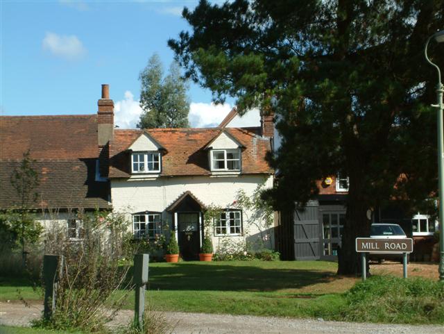
Devil's Hill Images
Images are sourced within 2km of 51.567242/-1.0008432 or Grid Reference SU6985. Thanks to Geograph Open Source API. All images are credited.


Devil's Hill is located at Grid Ref: SU6985 (Lat: 51.567242, Lng: -1.0008432)
Administrative County: Oxfordshire
District: South Oxfordshire
Police Authority: Thames Valley
What 3 Words
///growl.protester.remodels. Near Rotherfield Peppard, Oxfordshire
Nearby Locations
Related Wikis

Highmoor, Oxfordshire
Highmoor is a village and civil parish in the Chiltern Hills in Oxfordshire, about 4 miles (6.4 km) west of Henley-on-Thames. The parish includes the hamlet...
Henley Rural District
Henley was a rural district in Oxfordshire, England from 1894 to 1974.It was named after the borough of Henley-on-Thames, which it surrounded on the west...

Nettlebed
Nettlebed is a village and civil parish in Oxfordshire in the Chiltern Hills about 4+1⁄2 miles (7 km) northwest of Henley-on-Thames and 6 miles (10 km...

Crocker End House
Crocker End House in Nettlebed in Henley-on-Thames, Oxfordshire, England is a spacious Victorian home built to replace Nettlebed's prosperous rectory in...

Stoke Row
Stoke Row is a village and civil parish in the Chiltern Hills, about 5 miles (8 km) west of Henley-on-Thames in South Oxfordshire and about 9 miles (14...

Nuffield Place
Nuffield Place is a country house near the village of Nuffield in the Chiltern Hills in South Oxfordshire, England, just over 4 miles (6 km) east of Wallingford...

HM Prison Huntercombe
HM Prison Huntercombe is a Category C men's prison, located near Nuffield in Oxfordshire, England. It is operated by His Majesty's Prison Service. ��2...

Berrick Trench
Berrick Trench is a 2.1-hectare (5.2-acre) biological Site of Special Scientific Interest north of Nettlebed in Oxfordshire.This is an ancient semi-natural...
Related Videos
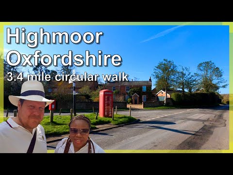
Oxfordshire 3.4 mile circular walk: Highmoor & Bush Wood
Highmoor & Bush Wood: 3.4 mile circular walk Guided Walk: ...
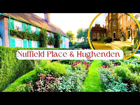
National Trust Nuffield & Hughenden Manor 4k 2023
Welcome to my YouTube post about the house and garden of Nuffield Place and Hughenden Manor in England, both owned by ...
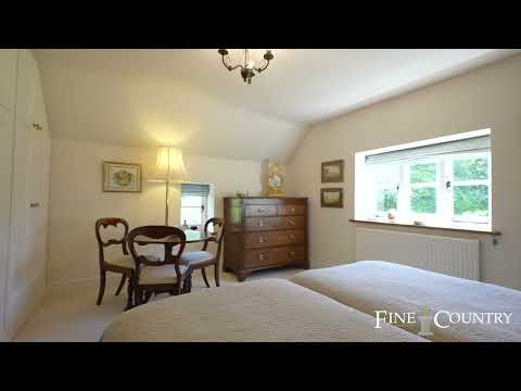
Crown Cottage, Nuffield, Henley-on-Thames
NEW INSTRUCTION ALERT 5 Bedroom House For Sale in Nuffield, Henley. Direct access onto Huntercombe golf course ...
🇬🇧 WINDSCREEN VIEW BUS JOURNEY I Thames Travel River Rapids X38: Common ➔ Crowmarsh Roundabout
Thanks to CWCP Travel for inspiring me to do more of these.
Have you been to Devil's Hill?
Leave your review of Devil's Hill below (or comments, questions and feedback).