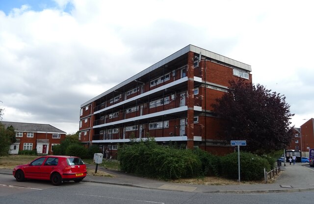
Kingswood
Settlement in Essex Basildon
England
Kingswood
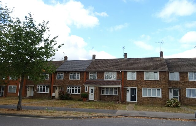
Kingswood is a small village located in the county of Essex, England. Situated approximately 20 miles northeast of London, it falls within the district of Basildon. With a population of around 2,500 residents, Kingswood offers a tranquil and picturesque environment away from the bustling city life.
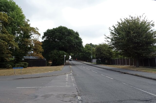
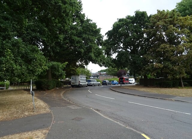
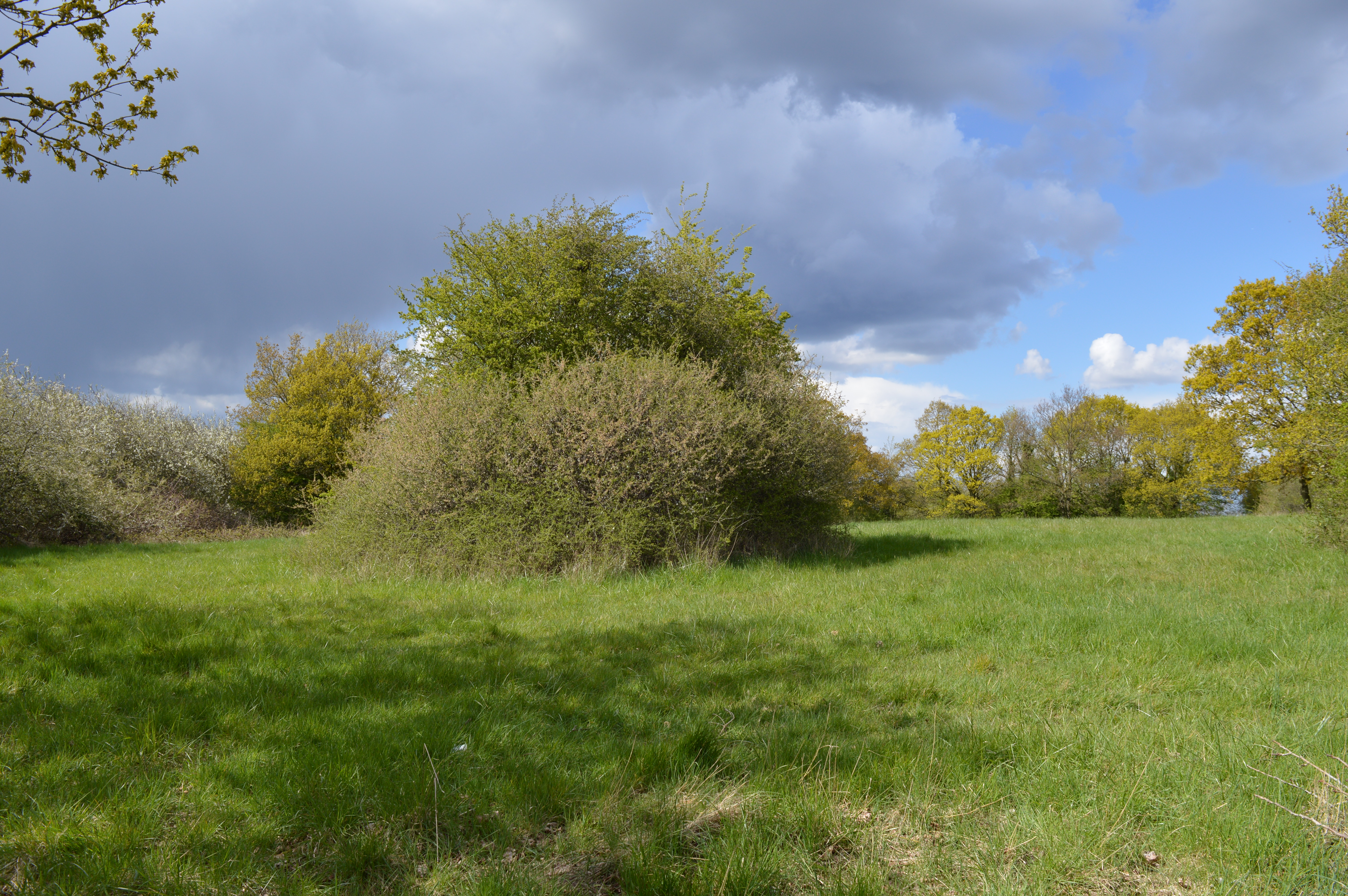
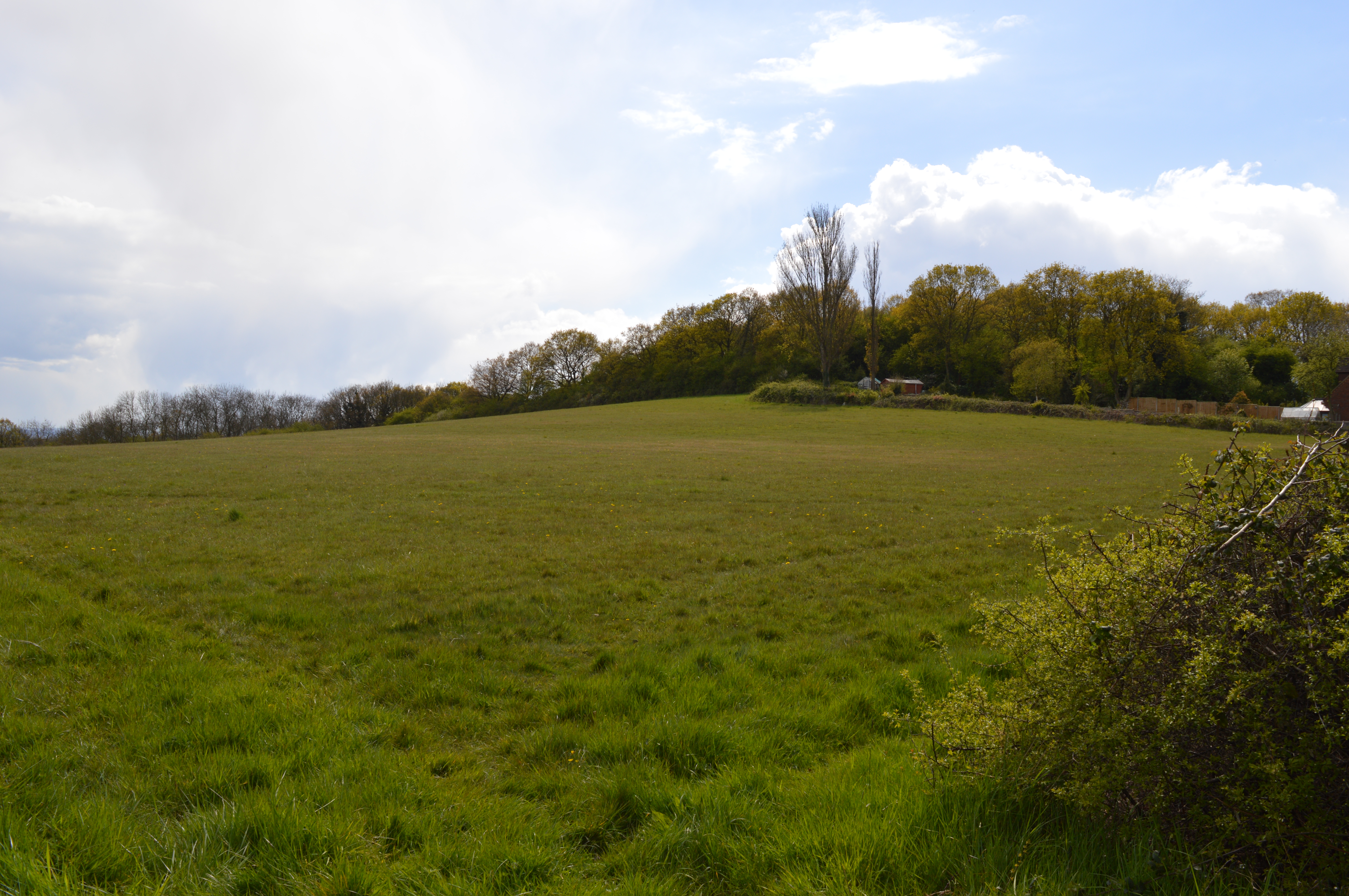
The village is known for its beautiful countryside, surrounded by lush green fields and woodland. Its idyllic setting makes it a popular destination for nature lovers and outdoor enthusiasts. The nearby Kingswood Forest provides ample opportunities for hiking, cycling, and wildlife spotting.
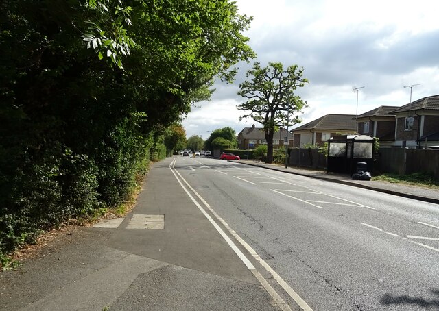
Despite its rural charm, Kingswood is well-connected to nearby towns and cities. The village is conveniently located near major road networks, including the A127 and A13, providing easy access to neighboring areas. The nearby town of Basildon is only a short drive away, offering a wide range of shopping, dining, and entertainment options.
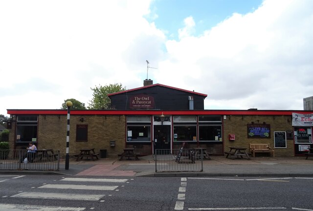
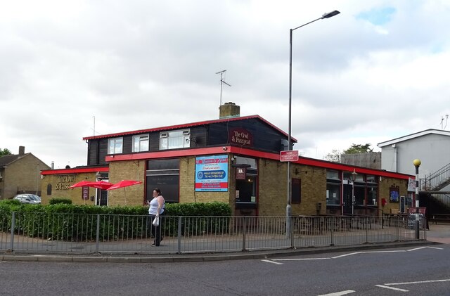
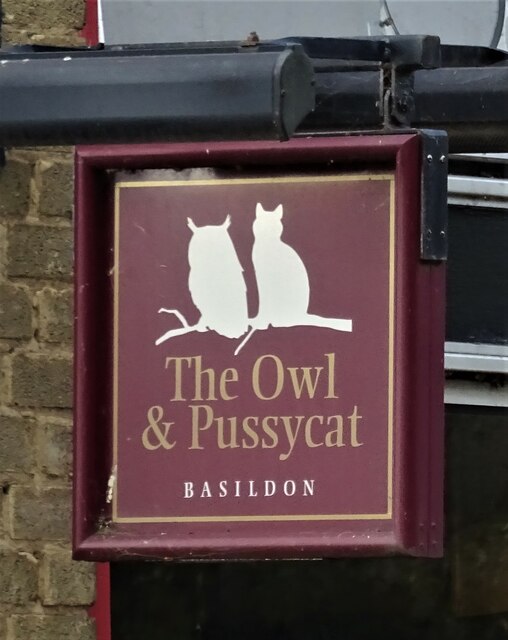
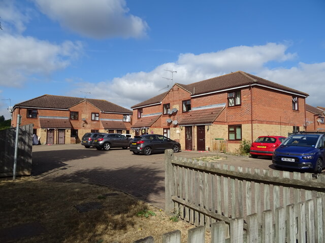
Kingswood itself boasts a close-knit community, with a range of amenities to cater to its residents. These include a primary school, a village hall, and a local pub. The village also hosts various events and activities throughout the year, fostering a sense of community spirit.
Overall, Kingswood offers a peaceful retreat for those seeking a slower pace of life, while still being within reach of urban conveniences. Its natural beauty, friendly community, and convenient location make it a desirable place to live or visit in Essex.
If you have any feedback on the listing, please let us know in the comments section below.
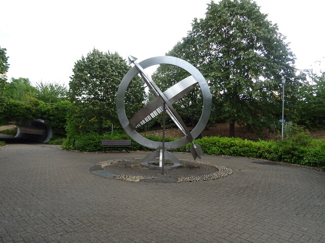
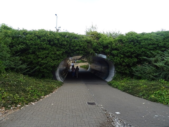
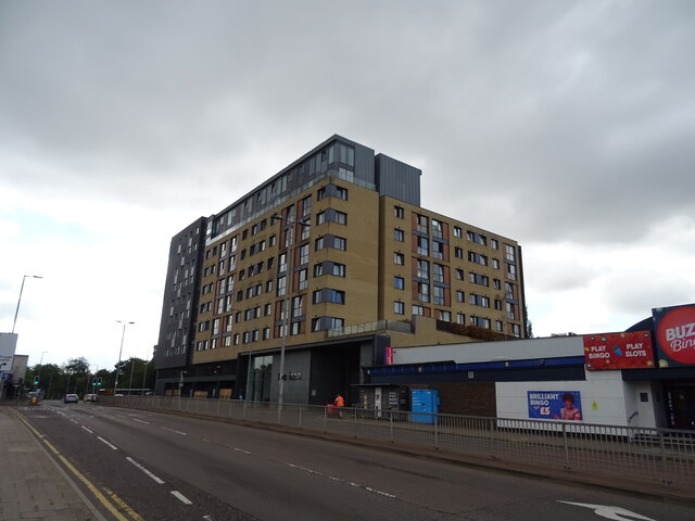
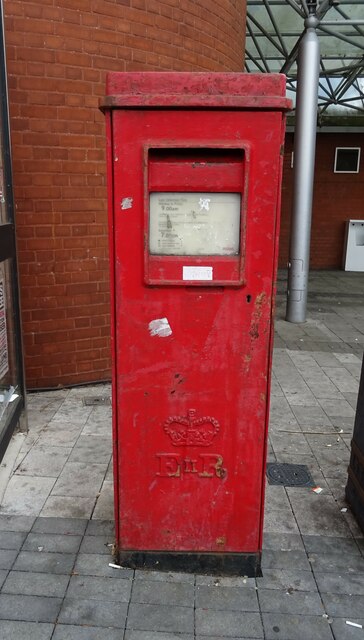
Kingswood Images
Images are sourced within 2km of 51.563934/0.463135 or Grid Reference TQ7087. Thanks to Geograph Open Source API. All images are credited.
Kingswood is located at Grid Ref: TQ7087 (Lat: 51.563934, Lng: 0.463135)
Administrative County: Essex
District: Basildon
Police Authority: Essex
What 3 Words
///given.judge.monkey. Near Basildon, Essex
Nearby Locations
Related Wikis

Woodlands School, Basildon
Woodlands School is a secondary school in Basildon, Essex. The school currently educates more than 1600 students from Basildon and South East Essex....

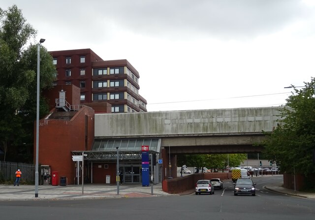
Basildon railway station
Basildon railway station is on the London, Tilbury and Southend line, serving the town of Basildon, Essex. It is 24 miles 26 chains (39.1 km) down the...

Basildon Urban District
Basildon Urban District (from 1934 to 1955 Billericay Urban District) was a local government district in south Essex, England from 1934 to 1974. The district...

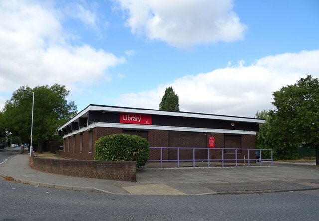
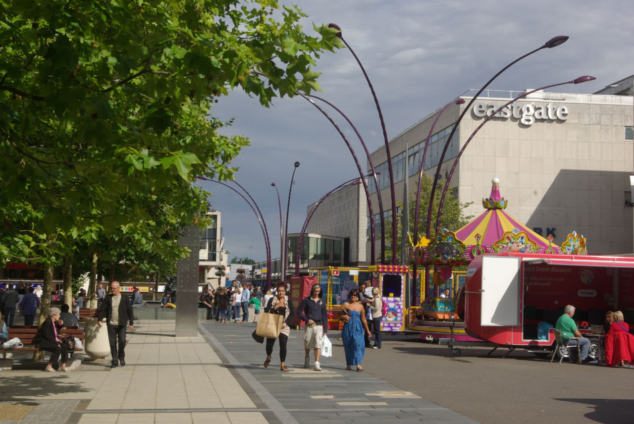
Basildon Town Centre
Basildon Town Centre is a planned town centre developed during the creation of the town of Basildon, Essex, in the 1950s. The architect Sir Basil Spence...
Borough of Basildon
The Borough of Basildon is a local government district with borough status in Essex, England. The borough is named after its largest town, Basildon, where...
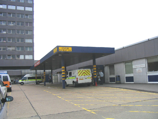
Basildon University Hospital
Basildon University Hospital is an acute general hospital in Basildon, Essex. It is managed by the Mid and South Essex NHS Foundation Trust. == History... ==
Vange Hill
Vange Hill is an 11.5 hectare Local Nature Reserve in Vange, a suburb of Basildon in Essex. It is owned and managed by Basildon Borough Council.The site...
Basildon Meadows
Basildon Meadows is a 6.5-hectare (16-acre) biological Site of Special Scientific Interest on the southern outskirts of Basildon in Essex.The site is composed...
Nearby Amenities
Located within 500m of 51.563934,0.463135Have you been to Kingswood?
Leave your review of Kingswood below (or comments, questions and feedback).