Bracken Hill
Hill, Mountain in Nottinghamshire Bassetlaw
England
Bracken Hill

Bracken Hill is a prominent hill located in Nottinghamshire, England. Situated in the southern part of the county, it forms part of the rural landscape and offers stunning views of the surrounding countryside. The hill is known for its distinctive shape and steep incline, making it a popular destination for hikers and nature enthusiasts.
Rising to an elevation of approximately 150 meters (492 feet), Bracken Hill is not classified as a mountain but rather a notable hill within the region. It is covered in lush green vegetation, including bracken ferns which give the hill its name. The area is home to a diverse range of flora and fauna, providing an ideal habitat for various wildlife species.
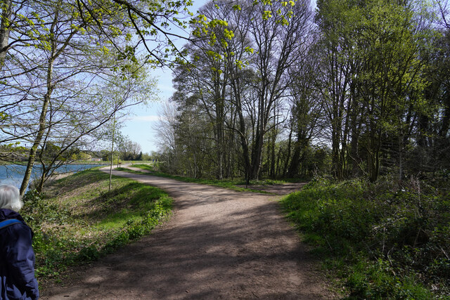
Bracken Hill is easily accessible via well-maintained footpaths and trails, making it a favored spot for walkers and outdoor enthusiasts. The hill provides an excellent vantage point, offering panoramic views of the surrounding countryside, including nearby villages, woodlands, and farmland.
The hill holds historical significance as well. Archaeological remains and artifacts have been discovered in the vicinity, indicating that the area has been inhabited since ancient times. It is believed that Bracken Hill was once a fortified site, possibly dating back to the Iron Age.
Overall, Bracken Hill in Nottinghamshire is a picturesque and historically significant landmark. With its scenic beauty, rich wildlife, and historical connections, it continues to attract visitors who appreciate the natural and cultural heritage of the region.
If you have any feedback on the listing, please let us know in the comments section below.
Bracken Hill Images
Images are sourced within 2km of 53.271503/-1.0253418 or Grid Reference SK6575. Thanks to Geograph Open Source API. All images are credited.


Bracken Hill is located at Grid Ref: SK6575 (Lat: 53.271503, Lng: -1.0253418)
Administrative County: Nottinghamshire
District: Bassetlaw
Police Authority: Nottinghamshire
What 3 Words
///dried.scorch.statement. Near Hardwick Village, Nottinghamshire
Nearby Locations
Related Wikis

Hardwick Village
Hardwick Village is a rural settlement located in the Bassetlaw administrative area of Nottinghamshire. It is within Clumber Park, part of a greater area...
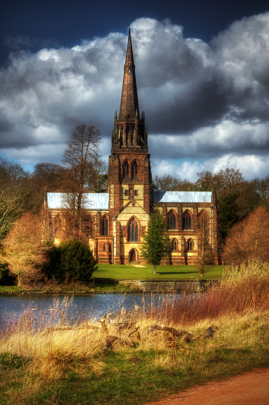
Church of St Mary the Virgin, Clumber Park
The Church of St. Mary the Virgin, Clumber Park, is an Anglican church in Clumber Park, Nottinghamshire, England. The church is Grade I listed by English...
Clumber and Hardwick
Clumber and Hardwick is a civil parish in the Bassetlaw district, in the county of Nottinghamshire, England. The parish includes the settlement of Hardwick...
Clumber Park
Clumber Park is a country park in The Dukeries near Worksop in Nottinghamshire, England. The estate, which was the seat of the Pelham-Clintons, Dukes of...

Our Lady and St Peter's Church, Bothamsall
Our Lady and St Peter's Church, Bothamsall is a Grade II listed parish church in the Church of England in Bothamsall. The church is part of the Lound Hall...

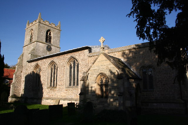
St Giles' Church, Elkesley
St Giles' Church is a Grade I listed parish church in the Church of England.A church in Elkesleigh or Elchersleigh is mentioned in the Domesday Book. It...

Checker House railway station
Checker House railway station was a station between Retford and Worksop, Nottinghamshire, England which served the village of Ranby from 1852 to 1931....
Elkesley
Elkesley is a village in Nottinghamshire, England. According to the 2001 census it had a population of 805, increasing to 822 at the 2011 Census. It is...
Nearby Amenities
Located within 500m of 53.271503,-1.0253418Have you been to Bracken Hill?
Leave your review of Bracken Hill below (or comments, questions and feedback).