Green Hill
Hill, Mountain in Oxfordshire South Oxfordshire
England
Green Hill

Green Hill is a picturesque natural landmark located in the tranquil village of Oxfordshire, England. Rising to an elevation of approximately 200 meters, it is classified as a hill rather than a mountain due to its moderate height. The hill is situated in the southern part of Oxfordshire, just a few miles away from the historic city of Oxford.
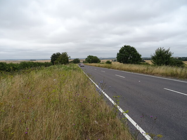
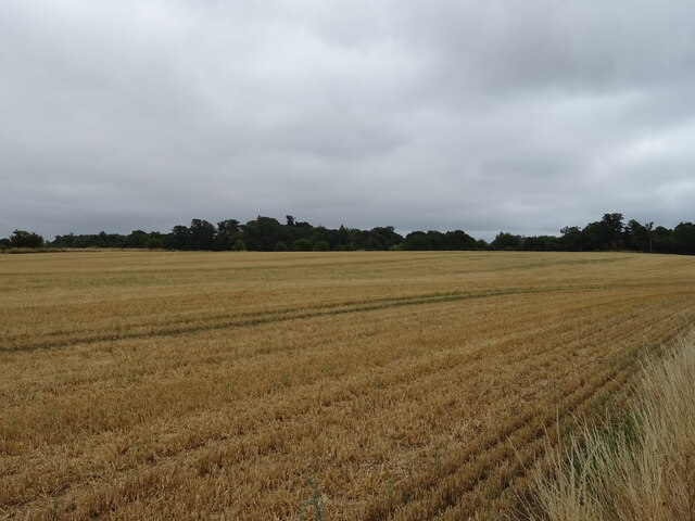
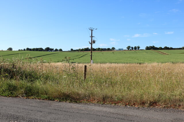
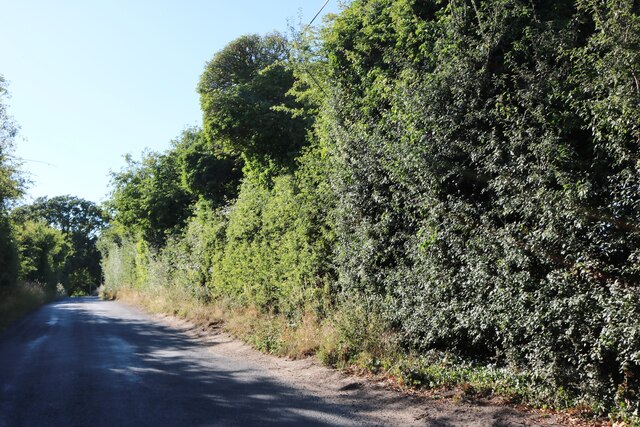
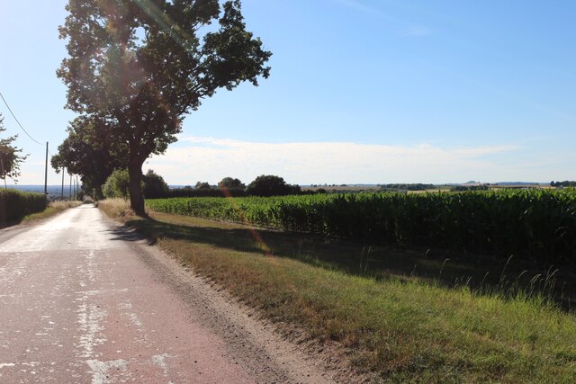
Green Hill is known for its lush greenery and stunning panoramic views of the surrounding countryside. Covered in a patchwork of vibrant fields and dotted with clusters of ancient trees, the hill offers a serene escape from the hustle and bustle of urban life. It is a popular spot for locals and tourists alike who seek solace in nature.
The hill is home to a diverse range of flora and fauna, with its slopes supporting a variety of plant species. Wildflowers such as bluebells and primroses bloom during the spring, creating a vibrant tapestry of colors. The hillside also provides a habitat for various bird species, making it a haven for birdwatchers and nature enthusiasts.
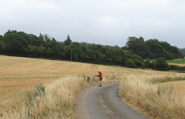
Green Hill offers a network of well-maintained walking trails, allowing visitors to explore its natural beauty at their own pace. These paths lead to the summit, where breathtaking views of the Oxfordshire countryside can be enjoyed. On clear days, it is even possible to catch glimpses of the iconic dreaming spires of Oxford in the distance.
Overall, Green Hill in Oxfordshire is a haven of tranquility, offering a peaceful retreat for those seeking to immerse themselves in nature and enjoy the beauty of the English countryside.
If you have any feedback on the listing, please let us know in the comments section below.
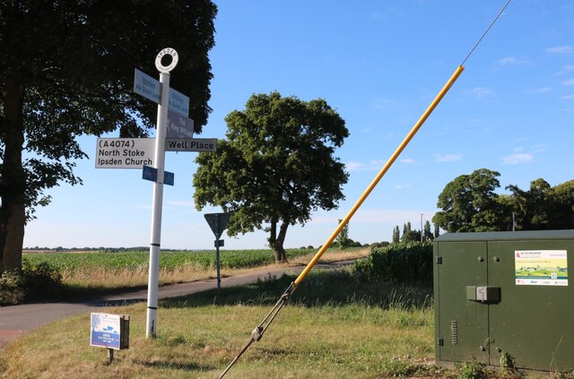
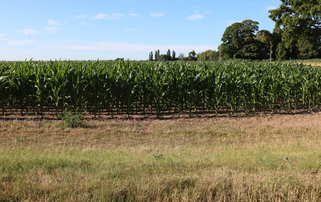
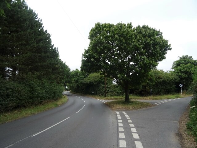
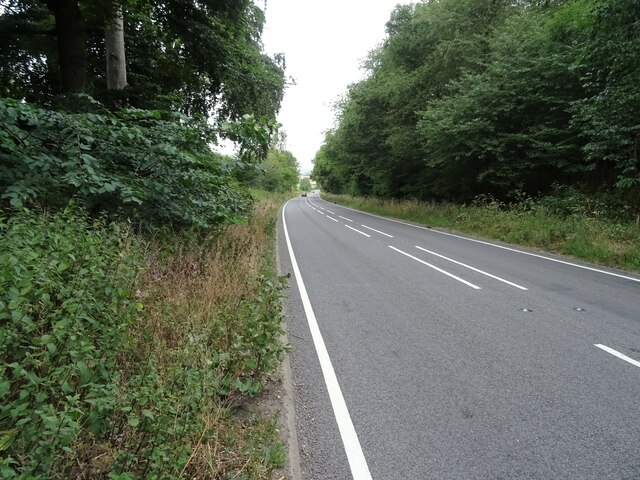
Green Hill Images
Images are sourced within 2km of 51.55236/-1.0662609 or Grid Reference SU6484. Thanks to Geograph Open Source API. All images are credited.


Green Hill is located at Grid Ref: SU6484 (Lat: 51.55236, Lng: -1.0662609)
Administrative County: Oxfordshire
District: South Oxfordshire
Police Authority: Thames Valley
What 3 Words
///tugging.sprouting.gong. Near Goring, Oxfordshire
Nearby Locations
Related Wikis

Braziers Park
Braziers Park is a Grade II* country house and estate on the edge of Ipsden - a small village near Wallingford, Oxfordshire, England - housing a secular...
Wood (festival)
Wood is an annual small early summer folk and roots music festival and environmental gathering, which takes place in Braziers Park, Ipsden near Wallingford...

Warren Bank
Warren Bank is a 3.1-hectare (7.7-acre) biological Site of Special Scientific Interest south-east of Wallingford in Oxfordshire. It is managed by the Berkshire...

Checkendon
Checkendon is a village and civil parish about 6 miles (10 km) west of Henley-on-Thames in South Oxfordshire and about 9 miles (14 km) north west of Reading...
St Peter and St Paul, Checkendon
St Peter and St Paul is the Church of England parish church of Checkendon, a village in Oxfordshire, England. Its parish is part of the Deanery of Henley...

Ipsden
Ipsden is a village and civil parish in the Chiltern Hills in South Oxfordshire, about 3 miles (5 km) southeast of Wallingford. It is almost equidistant...
Ipsden Heath
Ipsden Heath is a 32-acre (13-hectare) woodland in the English county of Oxfordshire, within the Chiltern Area of Outstanding Natural Beauty. == References ==

Woodcote
Woodcote is a village and civil parish in South Oxfordshire, about 5 miles (8 km) southeast of Wallingford and about 7 miles (11 km) northwest of Reading...
Related Videos
🇮🇳 MAHARAJAH'S WELL, Stoke Row (England)
In the centre of Stoke Row, high in the Chiltern Hills, is an incongruous sight, The Maharaja's Well. It's origin goes back to the ...

Oxfordshire 3.9 mile circular walk: Checkendon
Checkendon: 3.9 mile circular walk ** one of our favouites ** Guided Walk: ...

Oxfordshire 2.4 mile circular walk: Ipsden
Ipsden - Hailey - 2.4 mile circular walk Guided Walk: ...
Maharajah's Well #travel #strangerthings #england
THANKS TO THE KINDNESS OF both an Englishman and his Indian benefactor, the Maharajah's Well in Stoke Row, England ...
Nearby Amenities
Located within 500m of 51.55236,-1.0662609Have you been to Green Hill?
Leave your review of Green Hill below (or comments, questions and feedback).