Great Wichelo Shaw
Wood, Forest in Oxfordshire South Oxfordshire
England
Great Wichelo Shaw
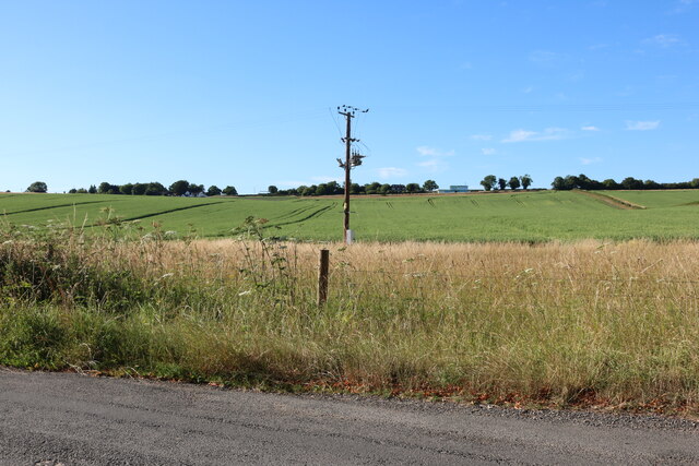
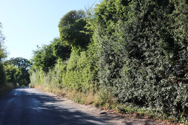
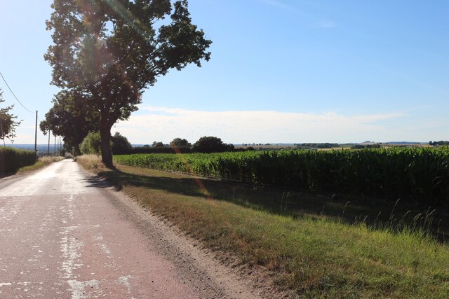
Great Wichelo Shaw is a small village located in Oxfordshire, England. Situated within the Wood, Forest district, it offers a picturesque and tranquil setting for its residents and visitors. The village is surrounded by lush greenery, with dense woodland and rolling hills providing a stunning backdrop.
With a population of around 500 inhabitants, Great Wichelo Shaw has a close-knit community that values its natural surroundings. The village is known for its abundance of wildlife, including various species of birds, deer, and woodland creatures. This makes it a popular destination for nature lovers and outdoor enthusiasts.
The village itself is characterized by charming cottages, many of which date back several centuries, showcasing traditional English architecture. These homes are nestled amongst well-maintained gardens and flower beds, adding to the village's picturesque charm.
Great Wichelo Shaw is also home to a small primary school, providing education to local children. The village has a friendly and welcoming atmosphere, making it an ideal place for families to settle down.
Although it is a peaceful residential area, Great Wichelo Shaw benefits from its proximity to larger towns and cities. Oxford, with its rich history and renowned university, is just a short drive away, offering a wide range of cultural activities, shopping, and dining options.
In summary, Great Wichelo Shaw is a beautiful village in Oxfordshire, known for its stunning natural surroundings, quaint cottages, and strong community spirit. It provides an idyllic setting for those seeking a peaceful and picturesque place to call home.
If you have any feedback on the listing, please let us know in the comments section below.
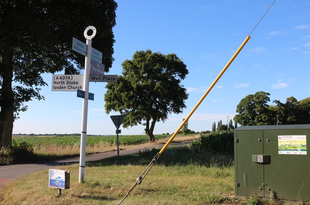
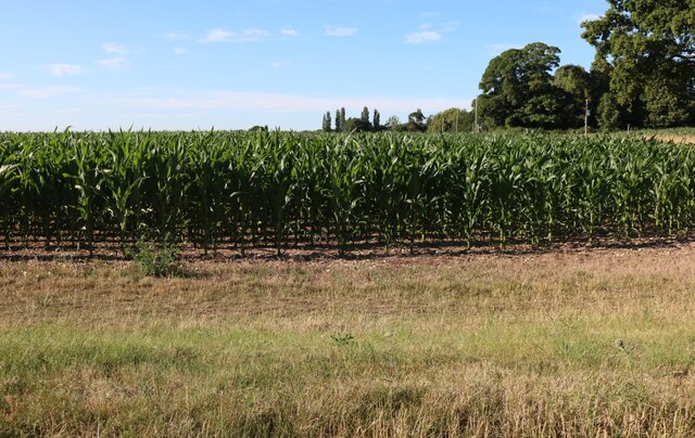
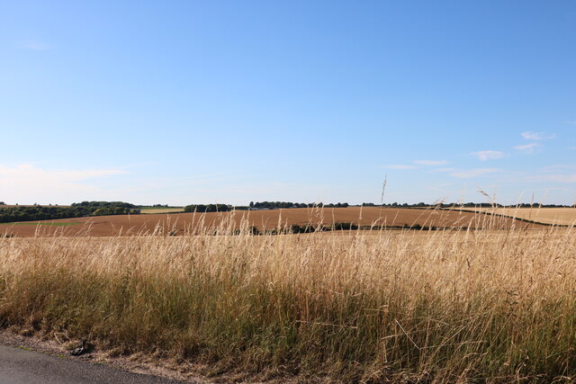
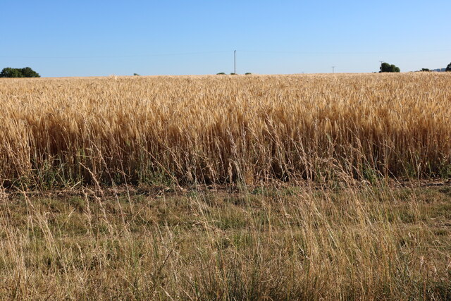
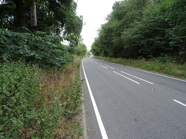
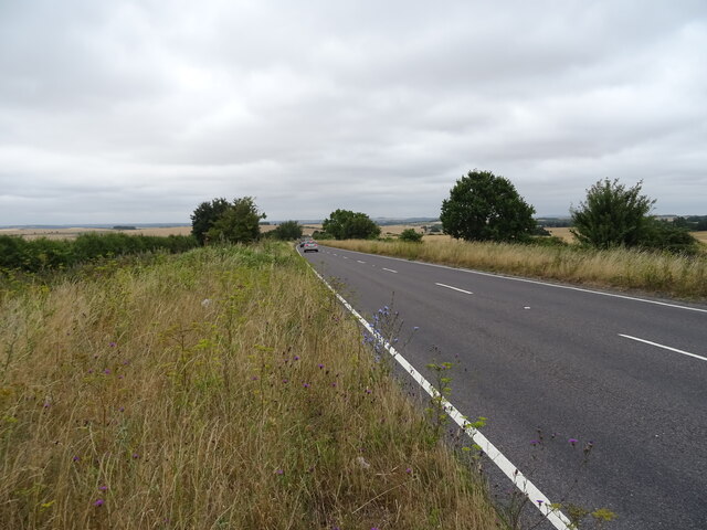
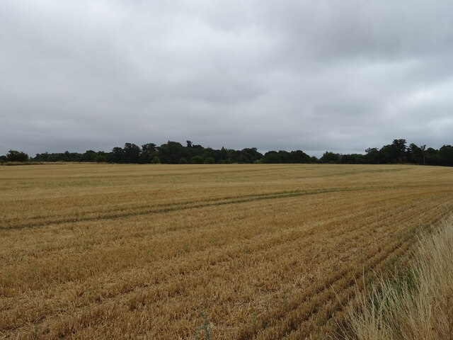
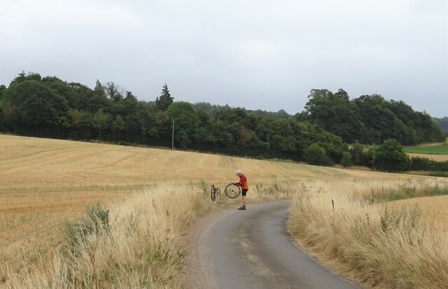
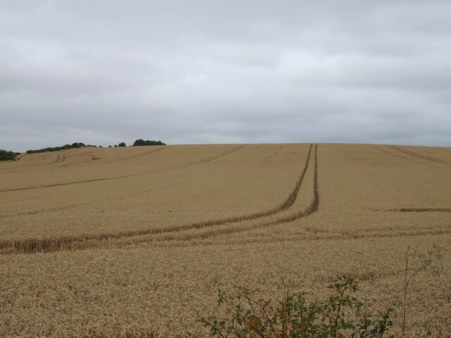
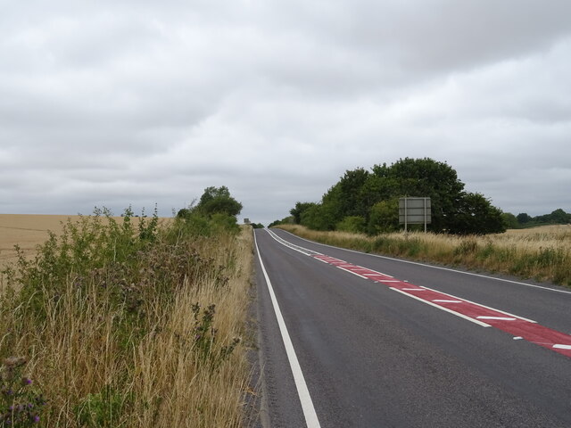
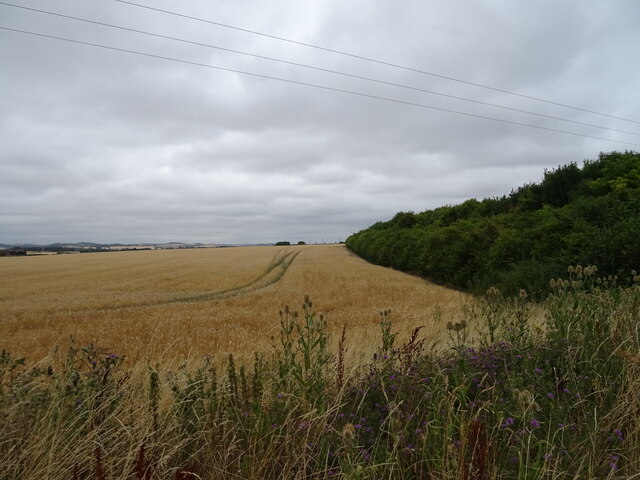
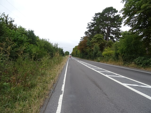
Great Wichelo Shaw Images
Images are sourced within 2km of 51.554831/-1.0774321 or Grid Reference SU6484. Thanks to Geograph Open Source API. All images are credited.


Great Wichelo Shaw is located at Grid Ref: SU6484 (Lat: 51.554831, Lng: -1.0774321)
Administrative County: Oxfordshire
District: South Oxfordshire
Police Authority: Thames Valley
What 3 Words
///clipboard.beaters.kindest. Near Goring, Oxfordshire
Nearby Locations
Related Wikis

Braziers Park
Braziers Park is a Grade II* country house and estate on the edge of Ipsden - a small village near Wallingford, Oxfordshire, England - housing a secular...

Wood (festival)
Wood is an annual small early summer folk and roots music festival and environmental gathering, which takes place in Braziers Park, Ipsden near Wallingford...

Ipsden
Ipsden is a village and civil parish in the Chiltern Hills in South Oxfordshire, about 3 miles (5 km) southeast of Wallingford. It is almost equidistant...
Chiltern Park Aerodrome
Chiltern Park Aerodrome was a private airfield near Woodcote and Ipsden in Oxfordshire. It was within RAF Benson's Military Aerodrome Traffic Zone.The...

Warren Bank
Warren Bank is a 3.1-hectare (7.7-acre) biological Site of Special Scientific Interest south-east of Wallingford in Oxfordshire. It is managed by the Berkshire...

Woodcote
Woodcote is a village and civil parish in South Oxfordshire, about 5 miles (8 km) southeast of Wallingford and about 7 miles (11 km) northwest of Reading...

Langtree School
Langtree School is a coeducational secondary school located in the village of Woodcote in South Oxfordshire, England. The school has approximately 624...

Checkendon
Checkendon is a village and civil parish about 6 miles (10 km) west of Henley-on-Thames in South Oxfordshire and about 9 miles (14 km) north west of Reading...
Nearby Amenities
Located within 500m of 51.554831,-1.0774321Have you been to Great Wichelo Shaw?
Leave your review of Great Wichelo Shaw below (or comments, questions and feedback).