Boze Down
Hill, Mountain in Oxfordshire South Oxfordshire
England
Boze Down

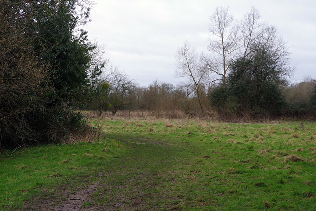
Boze Down is a prominent hill located in Oxfordshire, England. Situated near the village of Bozeat, it is a notable natural feature in the region. While not classified as a mountain, Boze Down offers picturesque views and stands as a significant landmark within the local landscape.
Rising to an elevation of approximately 200 meters (656 feet), Boze Down is characterized by its gently sloping sides and a rounded summit. The hill is predominantly covered in grassland, which provides a habitat for a diverse range of plants and wildlife. The surrounding countryside is primarily agricultural, with fields and farmland stretching across the area.
Boze Down is accessible to visitors through a network of footpaths and trails that crisscross the hillside. These paths offer walkers and hikers the opportunity to explore the hill and enjoy the scenic vistas it provides. On a clear day, the summit of Boze Down offers panoramic views of the surrounding Oxfordshire countryside, including nearby villages, woodlands, and the distant Chiltern Hills.
Due to its location and natural beauty, Boze Down is a popular destination for outdoor enthusiasts and nature lovers. Its tranquil and serene environment attracts visitors seeking a peaceful retreat or an escape from the bustling city life. The hill's accessibility and relatively easy ascent make it suitable for individuals of various fitness levels and ages.
Overall, Boze Down in Oxfordshire stands as a picturesque hill, offering breathtaking views and a tranquil environment for visitors to enjoy and appreciate the natural beauty of the region.
If you have any feedback on the listing, please let us know in the comments section below.
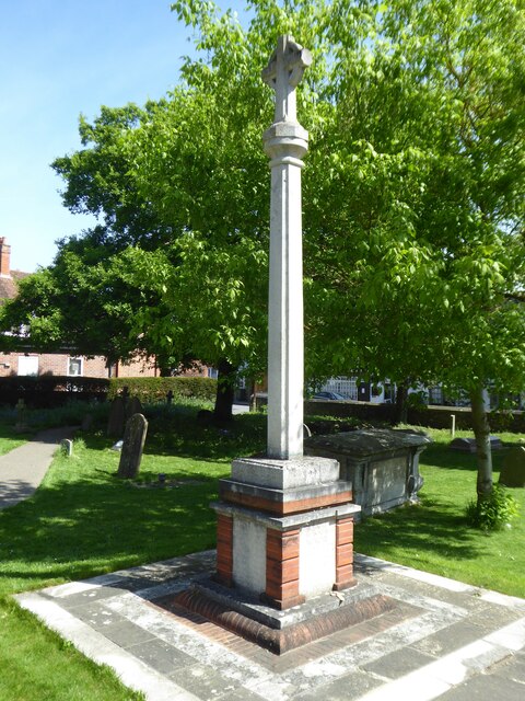
Boze Down Images
Images are sourced within 2km of 51.495038/-1.0776742 or Grid Reference SU6477. Thanks to Geograph Open Source API. All images are credited.


Boze Down is located at Grid Ref: SU6477 (Lat: 51.495038, Lng: -1.0776742)
Administrative County: Oxfordshire
District: South Oxfordshire
Police Authority: Thames Valley
What 3 Words
///blaze.port.hero. Near Pangbourne, Berkshire
Nearby Locations
Related Wikis
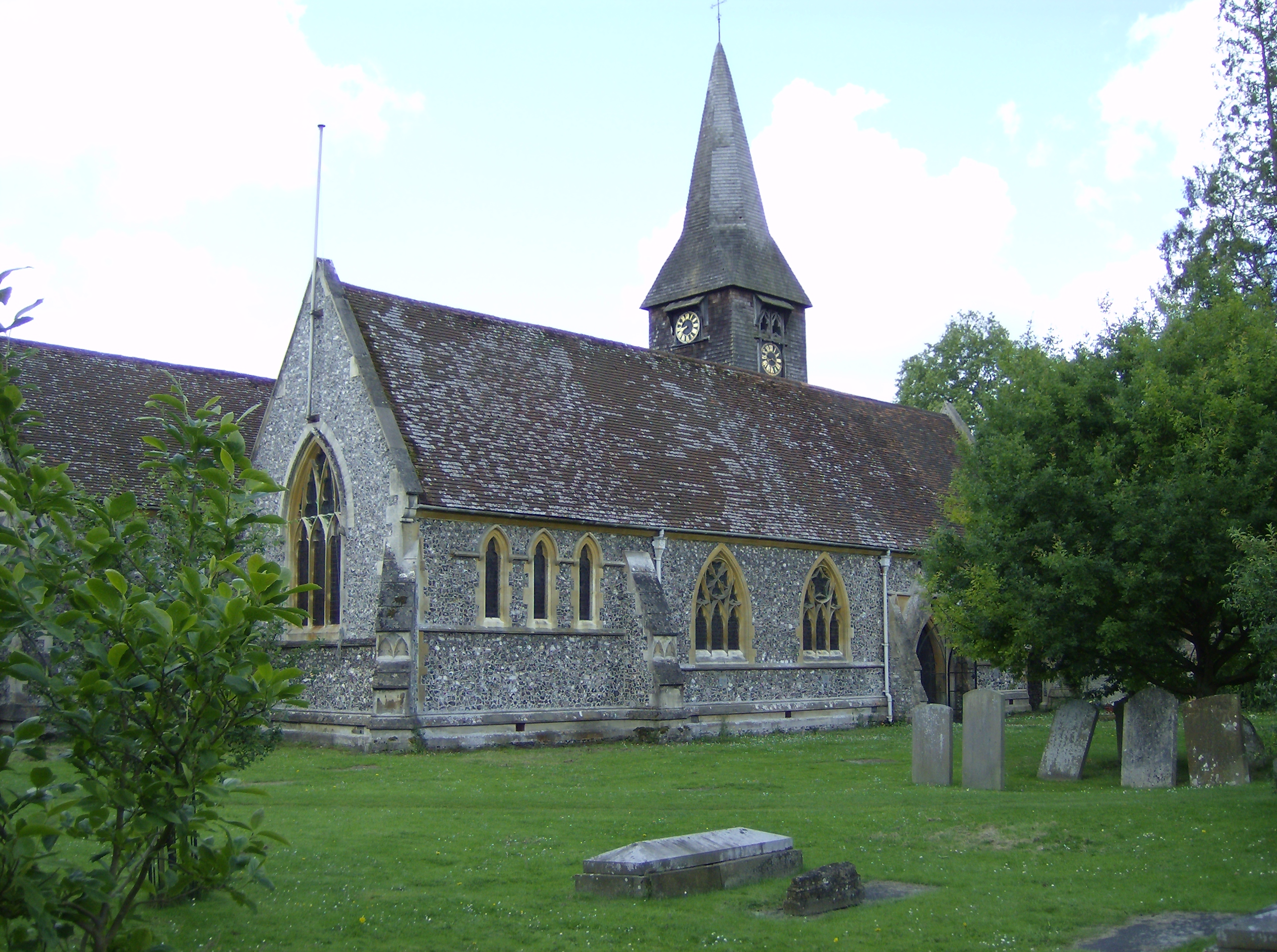
Whitchurch-on-Thames
Whitchurch-on-Thames is a village and civil parish on the Oxfordshire bank of the River Thames, about 5.5 miles (9 km) northwest of Reading, Berkshire...
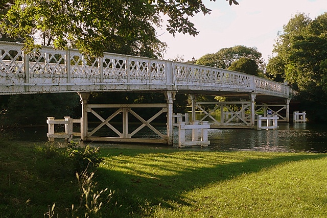
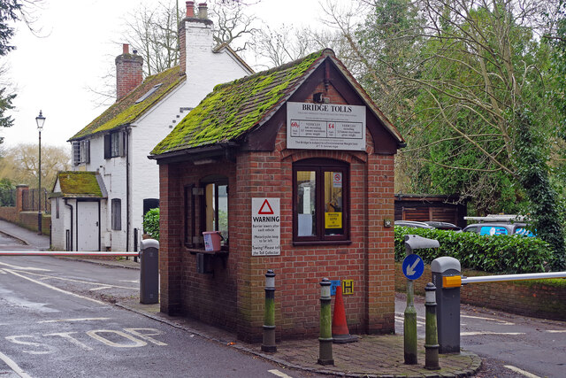
Whitchurch Bridge
Whitchurch Bridge is a toll bridge that carries the B471 road over the River Thames in England. It links the villages of Pangbourne in Berkshire, and Whitchurch...
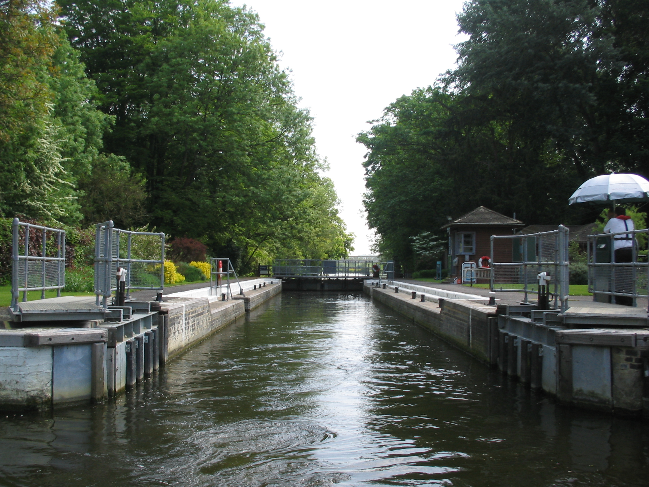
Whitchurch Lock
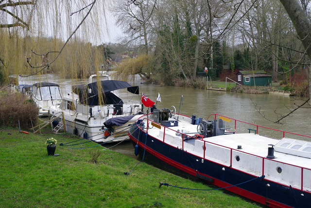
Whitchurch Lock is a lock and weir on the River Thames in England. It is a pound lock, built by the Thames Navigation Commissioners in 1787. It is on an...

River Pang
The River Pang is a small chalk stream river in the west of the English county of Berkshire, and a tributary of the River Thames. It runs for approximately...

Pangbourne railway station
Pangbourne railway station serves the village of Pangbourne in the county of Berkshire, and across the River Thames the village of Whitchurch-on-Thames...

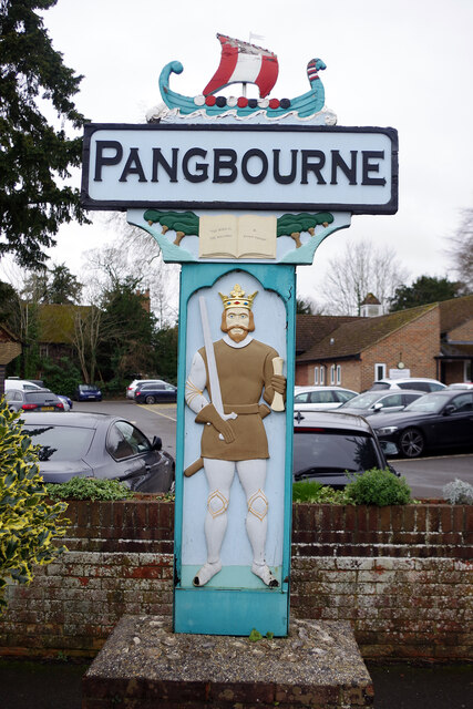
Pangbourne
Pangbourne is a village and civil parish on the River Thames in Berkshire, England. Pangbourne has its own shops, schools, a railway station on the Great...

Pangbourne College Boat Club
Pangbourne College Boat Club is a rowing club based on the River Thames at Pangbourne College Boathouse, Shooters Hill, Pangbourne, Berkshire. == History... ==

Whitchurch Hill
Whitchurch Hill is a village in the Chiltern Hills in Oxfordshire, about 5.5 miles (9 km) northwest of Reading, Berkshire, near Whitchurch-on-Thames. The...
Nearby Amenities
Located within 500m of 51.495038,-1.0776742Have you been to Boze Down?
Leave your review of Boze Down below (or comments, questions and feedback).