Castle Hill
Hill, Mountain in Yorkshire Hambleton
England
Castle Hill
Castle Hill is a prominent landmark located in Huddersfield, West Yorkshire, England. Standing at an elevation of 900 feet above sea level, it is a distinctive hill that dominates the local landscape. Often referred to as Castle Hill, it is more accurately classified as a hill rather than a mountain due to its height.
The hill has a rich and fascinating history, with evidence of human activity dating back to the Iron Age. It is crowned by the iconic Victoria Tower, a Grade II listed structure built in 1899 to commemorate Queen Victoria's Diamond Jubilee. The tower offers breathtaking panoramic views of the surrounding countryside, including the Pennines and the Peak District.
Castle Hill is known for its geological significance, as it is composed of millstone grit, a type of sandstone that is common in the area. The hill's distinctive rock formations have been shaped by millions of years of erosion, resulting in striking features such as cliffs, crags, and deep fissures.
The hill is also a popular destination for outdoor enthusiasts, offering numerous walking paths and trails. It is a designated Local Nature Reserve, home to a diverse range of flora and fauna, including heather, bilberries, and various bird species.
Castle Hill is an important cultural and historical site, attracting visitors from near and far. It serves as a symbol of the region's heritage and offers a unique opportunity to explore the natural beauty of Yorkshire.
If you have any feedback on the listing, please let us know in the comments section below.
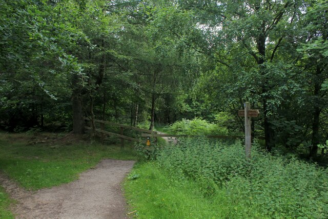
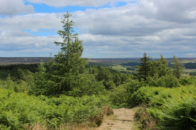
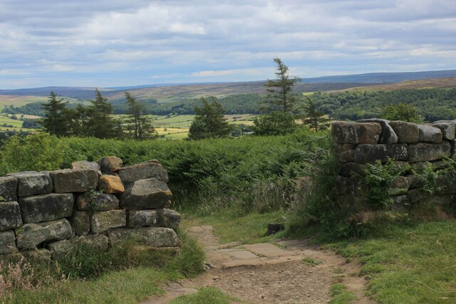
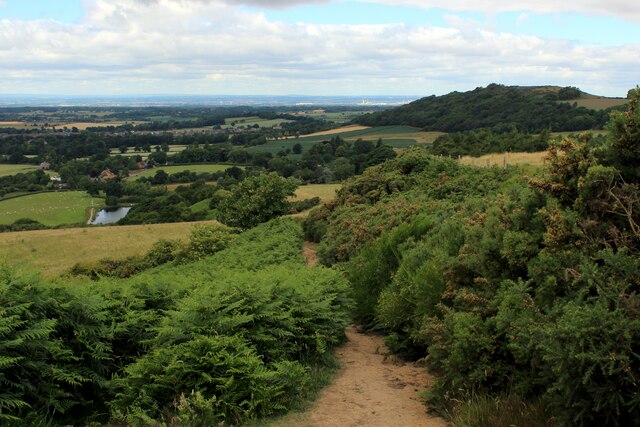
Castle Hill Images
Images are sourced within 2km of 54.469772/-1.0925192 or Grid Reference NZ5808. Thanks to Geograph Open Source API. All images are credited.
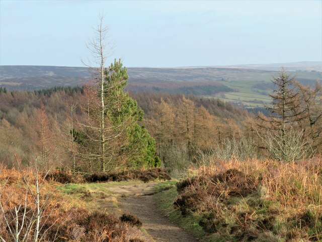
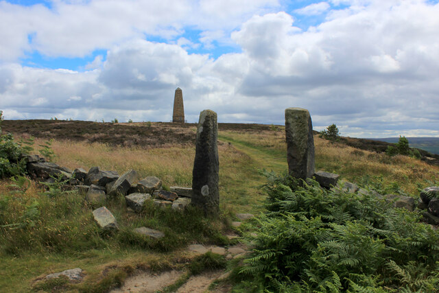
![Path down to the car park A heavily used path that is part of the Cleveland Way and is also the easiest way to the Captain Cook monument from the road. Much less litter [particularly doggy poo bags slung into trees] than on my last visit. No doubt some clearing up by public spirited people.](https://s2.geograph.org.uk/geophotos/07/08/58/7085818_3af55e8d.jpg)


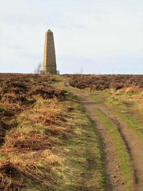
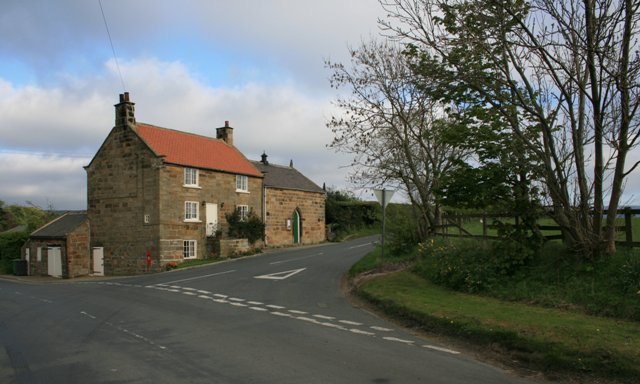
![Footpath towards Drummer Hill Farm The path [number 10.75/1] begins as a lane off the nearby road, but soon does a 90 degree turn to the left to approach Drummer Hill Farm.](https://s0.geograph.org.uk/geophotos/07/05/88/7058844_57e45f86.jpg)


Castle Hill is located at Grid Ref: NZ5808 (Lat: 54.469772, Lng: -1.0925192)
Division: North Riding
Administrative County: North Yorkshire
District: Hambleton
Police Authority: North Yorkshire
What 3 Words
///nearing.solicitor.inhales. Near Ingleby Greenhow, North Yorkshire
Nearby Locations
Related Wikis
Easby, Hambleton
Easby is a village and civil parish in Hambleton District of North Yorkshire, England. It lies approximately 2 miles (3.2 km) south-east of Great Ayton...
Battersby railway station
Battersby is a railway station on the Esk Valley Line, which runs between Middlesbrough and Whitby via Nunthorpe. The station, situated 11 miles 4 chains...

Easby Moor
Easby Moor is a hill located in the civil parish of Little Ayton in the North York Moors national park within the Cleveland Hills, North Yorkshire, England...

Kildale railway station
Kildale is a railway station on the Esk Valley Line, which runs between Middlesbrough and Whitby via Nunthorpe. The station, situated 12 miles 65 chains...

Ingleby railway station
Ingleby railway station was a railway station built to serve the village of Ingleby Greenhow in North Yorkshire, England. The station was on the North...

Battersby
Battersby is a hamlet in North Yorkshire, England. It lies on the edge of the North York Moors National Park and within the historic boundaries of the...

Ingleby Greenhow
Ingleby Greenhow is a village and civil parish in the Hambleton district of North Yorkshire, England. It is on the border of the North York Moors and 3...

Little Ayton
Little Ayton is a village and civil parish in Hambleton District of North Yorkshire, England and lies immediately south of Great Ayton. The population...
Nearby Amenities
Located within 500m of 54.469772,-1.0925192Have you been to Castle Hill?
Leave your review of Castle Hill below (or comments, questions and feedback).