Atkinson's Wood

Wood, Forest in Yorkshire Hambleton

England

Atkinson's Wood

Cleveland Way path heading off the moor This looks like a steep descent, but it's only a short descent before levelling out through the forest on Coate Moor.
Cleveland Way path heading off the moor Credit: Gordon Hatton

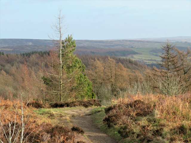
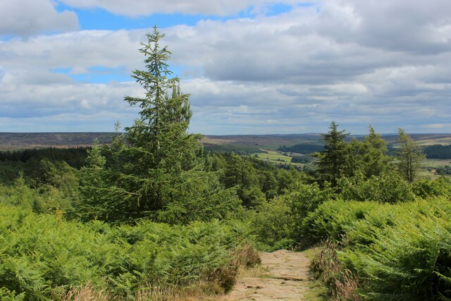
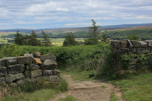
Atkinson's Wood is a picturesque forest situated in the county of Yorkshire, England. Covering an area of approximately 100 acres, it is a haven for nature enthusiasts and those seeking tranquility amidst the bustling city life. The wood is named after Thomas Atkinson, a renowned botanist who extensively studied the region's flora and fauna.

The woodland is home to a diverse range of tree species, including oak, beech, and birch. The lush canopy provides a cool and shaded environment, making it an ideal spot for a leisurely stroll or a peaceful picnic. The forest floor is covered with a thick blanket of moss, which adds to the ethereal beauty of the surroundings.

Bird watchers will be delighted to know that Atkinson's Wood is a popular spot for various avian species. The melodious chirping of songbirds can be heard throughout the year, while migratory birds make a stopover during their long journeys. It is not uncommon to spot woodpeckers, owls, and even the elusive kingfisher within the wood's boundaries.

For those interested in local history, Atkinson's Wood is said to have been a site of ancient settlements dating back to the Neolithic period. Archaeological finds such as flint tools and pottery fragments have been discovered, shedding light on the early human activity in the area.

Visitors to Atkinson's Wood can expect a peaceful retreat from the hustle and bustle of everyday life. Whether it's enjoying the serene beauty of nature, discovering the local wildlife, or immersing oneself in the rich history of the region, this forest offers a truly enchanting experience.

If you have any feedback on the listing, please let us know in the comments section below.

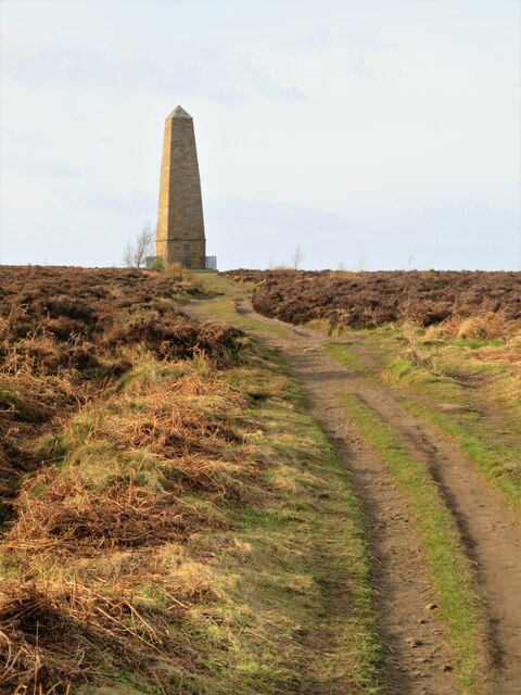
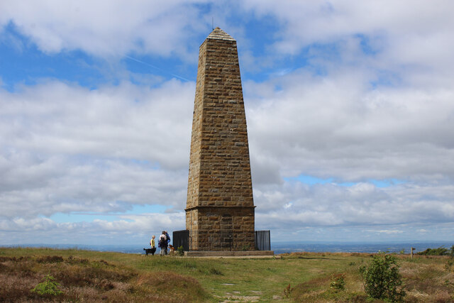
Atkinson's Wood Images

Images are sourced within 2km of 54.466604/-1.0931447 or Grid Reference NZ5808. Thanks to Geograph Open Source API. All images are credited.

Cleveland Way path heading off the moor This looks like a steep descent, but it's only a short descent before levelling out through the forest on Coate Moor.
Cleveland Way path heading off the moor
This looks like a steep descent, but it's only a short descent before levelling out through the forest on Coate Moor.
Cleveland Way towards the Captain Cook Monument An easy stretch across near level moorland, but on this occasion the fierce NW headwind made progress difficult.
Cleveland Way towards the Captain Cook Monument
An easy stretch across near level moorland, but on this occasion the fierce NW headwind made progress difficult.
Cleveland Way approaching the Captain Cook Monument Monument erected on Easby Moor in memory of local lad, Captain James Cook - the celebrated 18th Century navigator and explorer.
The Cleveland Way takes an abrupt right turn at the obelisk, to head due north.
Cleveland Way approaching the Captain Cook Monument
Monument erected on Easby Moor in memory of local lad, Captain James Cook - the celebrated 18th Century navigator and explorer. The Cleveland Way takes an abrupt right turn at the obelisk, to head due north.
Cleveland Way descending East off Easby Moor The National Trail heading into the forest on Coate Moor
Cleveland Way descending East off Easby Moor
The National Trail heading into the forest on Coate Moor
Cleveland Way leaving Easby Moor The Cleveland Way runs 110 miles (177 km) between Helmsley and the Brigg at Filey, skirting the North York Moors National Park. Its highest point is at Urra Moor, 1,489 ft (454 m).
Cleveland Way leaving Easby Moor
The Cleveland Way runs 110 miles (177 km) between Helmsley and the Brigg at Filey, skirting the North York Moors National Park. Its highest point is at Urra Moor, 1,489 ft (454 m).
Footpath Crossing Easby Moor Footpath heading for The Captain Cook Monument on Easby Moor
Footpath Crossing Easby Moor
Footpath heading for The Captain Cook Monument on Easby Moor
Red Bridge, Ingleby Avenue Stone parapets of a small bridge over Mea Beck, north of Ingleby Greenhow. The road is shown as Ingleby Avenue here, but anyone expecting a grand line of limes or sweet chestnuts is likely to be disappointed as the trees and hedges are less than exciting.
Red Bridge, Ingleby Avenue
Stone parapets of a small bridge over Mea Beck, north of Ingleby Greenhow. The road is shown as Ingleby Avenue here, but anyone expecting a grand line of limes or sweet chestnuts is likely to be disappointed as the trees and hedges are less than exciting.
Farm road off Ingleby Avenue The road leads out of this grid square towards Station Farm, some 400m beyond which is Battersby Station.
Farm road off Ingleby Avenue
The road leads out of this grid square towards Station Farm, some 400m beyond which is Battersby Station.
Footpath towards Drummer Hill Farm The path [number 10.75/1] begins as a lane off the nearby road, but soon does a 90 degree turn to the left to approach Drummer Hill Farm.
Footpath towards Drummer Hill Farm
The path [number 10.75/1] begins as a lane off the nearby road, but soon does a 90 degree turn to the left to approach Drummer Hill Farm.
Road to Easby At the northern end of Ingleby Avenue and with the familiar profile of Roseberry Topping in the distance.
Road to Easby
At the northern end of Ingleby Avenue and with the familiar profile of Roseberry Topping in the distance.
Otter Hills Beck Evidence of some recent timber felling close by the beck, which joins the River Leven a short way downstream.
Otter Hills Beck
Evidence of some recent timber felling close by the beck, which joins the River Leven a short way downstream.
Cottages at Low Easby Sandstone and brick cottages in this hamlet which stands below Easby Moor. Captain Cook's monument is visible on the moor top some 220 m above.
Cottages at Low Easby
Sandstone and brick cottages in this hamlet which stands below Easby Moor. Captain Cook's monument is visible on the moor top some 220 m above.
Towards Grove Farm, Low Easby The dead end road that serves this small community heads gently uphill past Grove Farm on the right.
Towards Grove Farm, Low Easby
The dead end road that serves this small community heads gently uphill past Grove Farm on the right.
Three beech trees, Low Easby Or maybe it's four as the one on the left appears to be two which are intertwined. The familiar outline of Roseberry Topping to the left of the picture.
Three beech trees, Low Easby
Or maybe it's four as the one on the left appears to be two which are intertwined. The familiar outline of Roseberry Topping to the left of the picture.
Esk valley line towards Great Ayton Single track line heading north towards Great Ayton, with the familiar outline of Roseberry Topping off to the right.
Esk valley line towards Great Ayton
Single track line heading north towards Great Ayton, with the familiar outline of Roseberry Topping off to the right.
The line to Whitby Looking a little east of south where the next stop will be at Battersby Junction before leaving the valley of the River Leven and entering Eskdale.
The line to Whitby
Looking a little east of south where the next stop will be at Battersby Junction before leaving the valley of the River Leven and entering Eskdale.
The Leven at Low Easby The Leven is a curious little river. Its course begins on Warren Moor with its source marked in grid square NZ6107 and an initial flow to the north east as if  heading for Eskdale. It's likely that this was once the case, but a moraine blocks the way into the upper Esk, so the little river turns west towards Battersby, then north to Great Ayton. Still unable to decide which way to go, it then heads west across the Cleveland Plain past Stokesley and Hutton Rudby before eventually carving a deep valley through glacial material to join the Tees just downstream from Yarm.
The Leven at Low Easby
The Leven is a curious little river. Its course begins on Warren Moor with its source marked in grid square NZ6107 and an initial flow to the north east as if heading for Eskdale. It's likely that this was once the case, but a moraine blocks the way into the upper Esk, so the little river turns west towards Battersby, then north to Great Ayton. Still unable to decide which way to go, it then heads west across the Cleveland Plain past Stokesley and Hutton Rudby before eventually carving a deep valley through glacial material to join the Tees just downstream from Yarm.
Bridleway to Low Easby Easy to follow bridleway linking Little Ayton with Low Easby.
Bridleway to Low Easby
Easy to follow bridleway linking Little Ayton with Low Easby.
Show me another place!

Atkinson's Wood is located at Grid Ref: NZ5808 (Lat: 54.466604, Lng: -1.0931447)

Division: North Riding

Administrative County: North Yorkshire

District: Hambleton

Police Authority: North Yorkshire

What 3 Words

///photocopy.reassured.spillage. Near Ingleby Greenhow, North Yorkshire

Related Wikis

Battersby railway station

Battersby is a railway station on the Esk Valley Line, which runs between Middlesbrough and Whitby via Nunthorpe. The station, situated 11 miles 4 chains...

Easby, Hambleton

Easby is a village and civil parish in Hambleton District of North Yorkshire, England. It lies approximately 2 miles (3.2 km) south-east of Great Ayton...

Ingleby railway station

Ingleby railway station was a railway station built to serve the village of Ingleby Greenhow in North Yorkshire, England. The station was on the North...

Battersby

Battersby is a hamlet in North Yorkshire, England. It lies on the edge of the North York Moors National Park and within the historic boundaries of the...

Easby Moor

Easby Moor is a hill located in the civil parish of Little Ayton in the North York Moors national park within the Cleveland Hills, North Yorkshire, England...

Kildale railway station

Kildale is a railway station on the Esk Valley Line, which runs between Middlesbrough and Whitby via Nunthorpe. The station, situated 12 miles 65 chains...

Ingleby Greenhow

Ingleby Greenhow is a village and civil parish in the Hambleton district of North Yorkshire, England. It is on the border of the North York Moors and 3...

Little Ayton

Little Ayton is a village and civil parish in Hambleton District of North Yorkshire, England and lies immediately south of Great Ayton. The population...

Nearby Amenities

Located within 500m of 54.466604,-1.0931447
Railway: level_crossing
Source: OS_OpenData_StreetView;Bing
Lat/Long: 54.4671281/-1.0979033
Parking
Parking: layby
Surface: gravel
Lat/Long: 54.4654009/-1.0884153
Oak Wood
Natural: wood
Lat/Long: 54.4675708/-1.092502
The data included in this document is from www.openstreetmap.org. The data is made available under ODbL.

Have you been to Atkinson's Wood?

Leave your review of Atkinson's Wood below (or comments, questions and feedback).