Kingston Deverill

Settlement in Wiltshire

England

Kingston Deverill

View from Mid Wilts Way
View from Mid Wilts Way Credit: thejackrustles

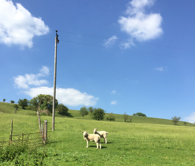
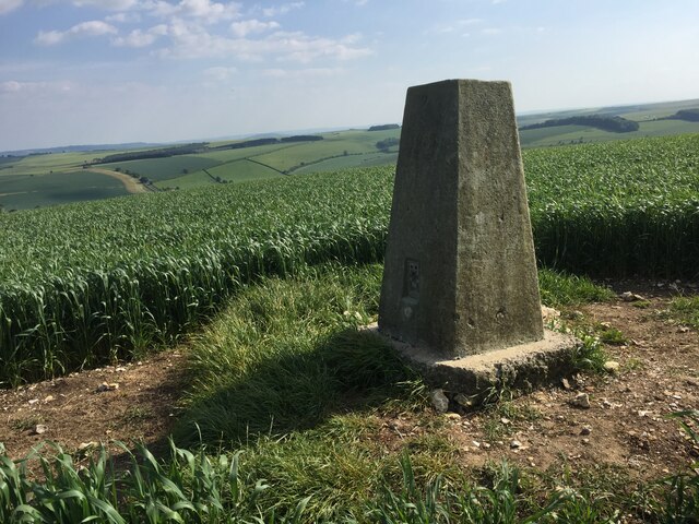
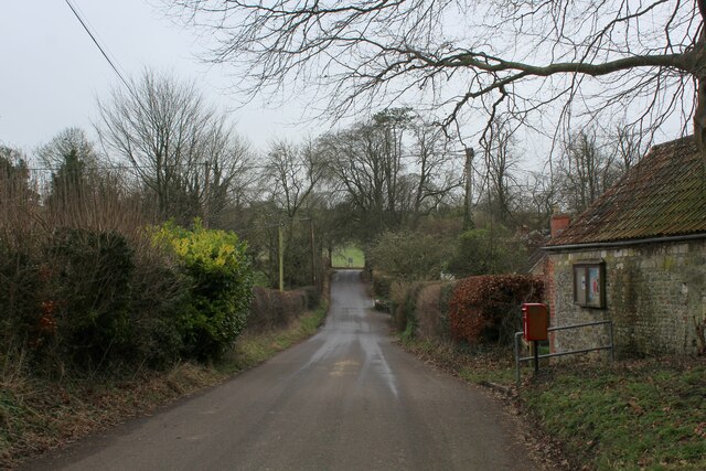
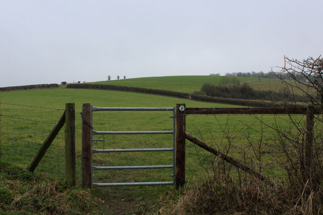
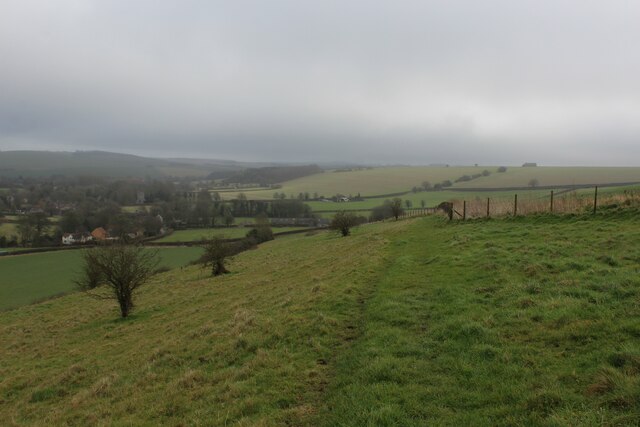
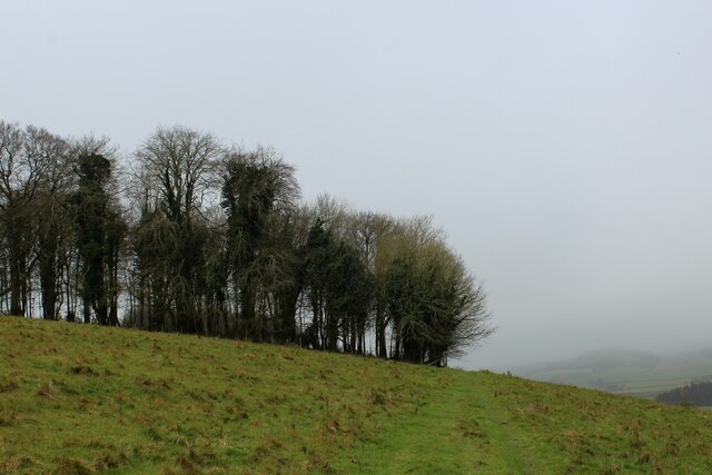
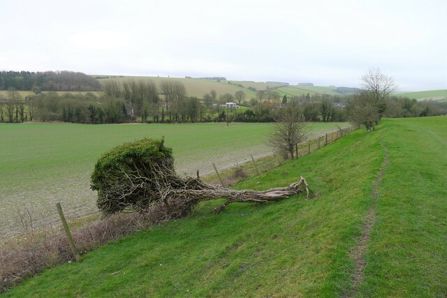
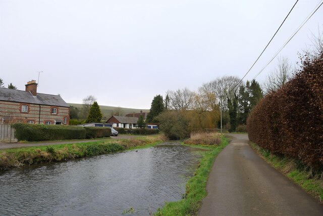
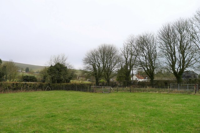
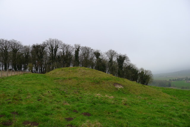
Kingston Deverill is a small village located in the county of Wiltshire, England. Situated in the picturesque Deverill Valley, it is surrounded by rolling hills and lush green countryside. The village is part of the Cranborne Chase and West Wiltshire Downs Area of Outstanding Natural Beauty, offering stunning views and ample opportunities for outdoor activities such as hiking and cycling.

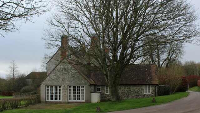
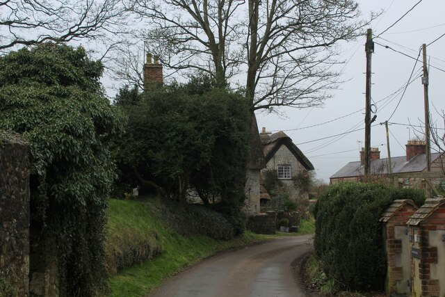
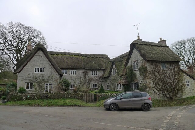
With a population of around 250 residents, Kingston Deverill has a close-knit community and a peaceful, rural atmosphere. The village is known for its charming thatched cottages, many of which date back several centuries, adding to its historic appeal. There is also a 13th-century church, St. Mary's, which stands as a testament to the village's long history.

Despite its small size, Kingston Deverill has a strong sense of community spirit. The village hosts various social events throughout the year, including a summer fete and a Christmas fair, bringing residents together and fostering a sense of belonging.

The village is located approximately 8 miles from the bustling market town of Warminster, providing residents with access to a range of amenities such as shops, schools, and healthcare facilities. It is also within easy reach of the historic city of Bath, which offers a wider array of cultural and leisure activities.

In summary, Kingston Deverill is a charming and idyllic village, offering a tranquil and picturesque setting for those seeking a peaceful retreat in the heart of the Wiltshire countryside.

If you have any feedback on the listing, please let us know in the comments section below.

Kingston Deverill Images

Images are sourced within 2km of 51.132505/-2.220334 or Grid Reference ST8437. Thanks to Geograph Open Source API. All images are credited.

View from Mid Wilts Way
Lambs in Devon countryside
Cold Kitchen Trig Point Flush Bracket S2183
Whitecliff Farm Farming operation near Brixton Deverill
Whitecliff Farm
Farming operation near Brixton Deverill
Footpath along Boar's Bottom
Footpath on Mill Down A faint path can be traced in the grass beside the fence as it crosses chalk downland towards Kingston Deverill
Footpath on Mill Down
A faint path can be traced in the grass beside the fence as it crosses chalk downland towards Kingston Deverill
Heading towards the B3095 in Kingston Deverill Quiet lane in the village of Kingston Deverill adopted by the Mid Wilts Way long distance footpath
Heading towards the B3095 in Kingston Deverill
Quiet lane in the village of Kingston Deverill adopted by the Mid Wilts Way long distance footpath
Kingston Deverill Small ancient village in the Wylye Valley
Kingston Deverill
Small ancient village in the Wylye Valley
Footpath leading up to Court Hill Through the gate, the undefined footpath leads diagonally through the pasture to reach the flanks of Court Hill.
Footpath leading up to Court Hill
Through the gate, the undefined footpath leads diagonally through the pasture to reach the flanks of Court Hill.
Mid Wilts Way on Court Hill The long distance footpath descending towards Kingston Deverill
Mid Wilts Way on Court Hill
The long distance footpath descending towards Kingston Deverill
Approaching Court Hill Plantation Mid Wilts Way long distance footpath on Court Hill
Approaching Court Hill Plantation
Mid Wilts Way long distance footpath on Court Hill
Refilling a Joskin slurry tanker  The tanker is fitted with tine injectors. Injection of manure slurry, rather than surface spreading, increases nutrient availability to the soil, and greatly reduces pollution of the atmosphere (ammonia is a major component of harmful particulates) and risk of runoff into nearby streams.
Refilling a Joskin slurry tanker
The tanker is fitted with tine injectors. Injection of manure slurry, rather than surface spreading, increases nutrient availability to the soil, and greatly reduces pollution of the atmosphere (ammonia is a major component of harmful particulates) and risk of runoff into nearby streams.
Monkton Deverill from Mill Down In the valley of the River Wylye
Monkton Deverill from Mill Down
In the valley of the River Wylye
Fallen hawthorn on Mill Down Probably a remnant of a hedge. The green, 'living' top is in fact Irish ivy (Hedera hibernica), and probably contributed to the shrub's downfall
Fallen hawthorn on Mill Down
Probably a remnant of a hedge. The green, 'living' top is in fact Irish ivy (Hedera hibernica), and probably contributed to the shrub's downfall
36 and 38 Kingston Deverill Listed Grade II, 17th century semi-detached cottages <span class="nowrap"><a title="https://historicengland.org.uk/listing/the-list/list-entry/1036399?section=official-listing" rel="nofollow ugc noopener" href="https://historicengland.org.uk/listing/the-list/list-entry/1036399?section=official-listing">Link</a><img style="margin-left:2px;" alt="External link" title="External link - shift click to open in new window" src="https://s1.geograph.org.uk/img/external.png" width="10" height="10"/></span>
36 and 38 Kingston Deverill
Listed Grade II, 17th century semi-detached cottages LinkExternal link
The River Wylye through Kingston Deverill
The Mid Wilts Way entering Kingston Deverill Onto the narrow flood plain of the River Wylye after leaving Court Hill
The Mid Wilts Way entering Kingston Deverill
Onto the narrow flood plain of the River Wylye after leaving Court Hill
Tumulus on Court Hill The tumulus is on the flank of the hill, rather than its ridge. But <a href="https://www.geograph.org.uk/photo/140085">ST8337 : Wylye Valley farmland</a> shows that it is nevertheless visible from some distance
Tumulus on Court Hill
The tumulus is on the flank of the hill, rather than its ridge. But ST8337 : Wylye Valley farmland shows that it is nevertheless visible from some distance
Show me another place!

Kingston Deverill is located at Grid Ref: ST8437 (Lat: 51.132505, Lng: -2.220334)

Unitary Authority: Wiltshire

Police Authority: Wiltshire

What 3 Words

///gentlemen.cashier.parked. Near Mere, Wiltshire

Related Wikis

Kingston Deverill

Kingston Deverill is a village and civil parish in Wiltshire, England. Its nearest towns are Mere, about 3+1⁄2 miles (6 km) to the southwest, and Warminster...

Monkton Deverill

Monkton Deverill (anciently known as East Monkton) is a village and former civil parish, now in the parish of Kingston Deverill, in Wiltshire, England...

Brixton Deverill

Brixton Deverill is a small village and civil parish about 4 miles (6.4 km) south of Warminster in Wiltshire, England. The parish is in the Deverill Valley...

Brimsdown Hill

Brimsdown Hill (grid reference ST821391) is a 193.7 hectare biological Site of Special Scientific Interest in Wiltshire, notified in 1951. It is situated...

Nearby Amenities

Located within 500m of 51.132505,-2.220334
Kingston Deverill
Place: village
Lat/Long: 51.1321533/-2.2169989
Post Box
Operator: Royal Mail
Ref: BA12 56
Lat/Long: 51.1324757/-2.2150508
Post Box
Operator: Royal Mail
Post Box Type: lamp
Ref: BA12 99
Royal Cypher: EIIR
Royal Cypher Wikidata: Q33102113
Lat/Long: 51.1343148/-2.2208883
The data included in this document is from www.openstreetmap.org. The data is made available under ODbL.

Have you been to Kingston Deverill?

Leave your review of Kingston Deverill below (or comments, questions and feedback).