Crocker Hill

Hill, Mountain in Hampshire Winchester

England

Crocker Hill

Looking Up Bridge Street Uphill to the town centre from down by the bridge.
Looking Up Bridge Street Credit: Des Blenkinsopp

Crocker Hill is a prominent hill located in the county of Hampshire, England. Standing at an elevation of approximately 243 meters (797 feet), it is classified as a hill rather than a mountain due to its modest height. Despite its relatively low altitude, Crocker Hill offers breathtaking panoramic views of the surrounding countryside.

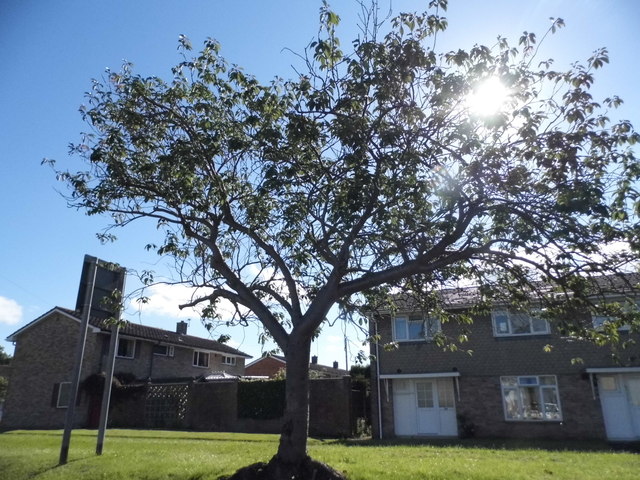
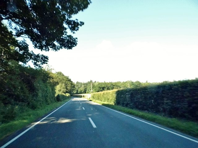
Situated within the South Downs National Park, this natural landmark is a popular destination for outdoor enthusiasts and nature lovers. It is characterized by its rolling green slopes, covered in a patchwork of fields and hedgerows. The hill is also adorned with picturesque woodlands, providing a diverse habitat for a variety of flora and fauna.

Crocker Hill is easily accessible, with several footpaths and trails leading to its summit. These routes cater to all levels of ability, making it an attractive option for both casual strollers and avid hikers. Along the way, visitors can admire the vibrant wildflowers that adorn the hillside during the spring and summer months.

The hill is also steeped in historical significance. Remnants of ancient settlements and burial mounds have been found in the vicinity, revealing evidence of human activity dating back thousands of years. Such archaeological finds add an extra layer of intrigue to the natural beauty of Crocker Hill.

Overall, Crocker Hill offers a tranquil escape from the hustle and bustle of everyday life. Its idyllic setting, combined with its rich history and stunning views, make it a must-visit destination for those exploring the Hampshire countryside.

If you have any feedback on the listing, please let us know in the comments section below.
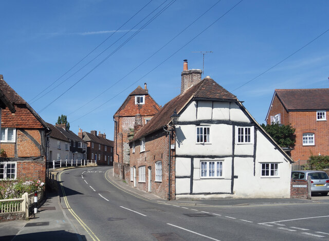
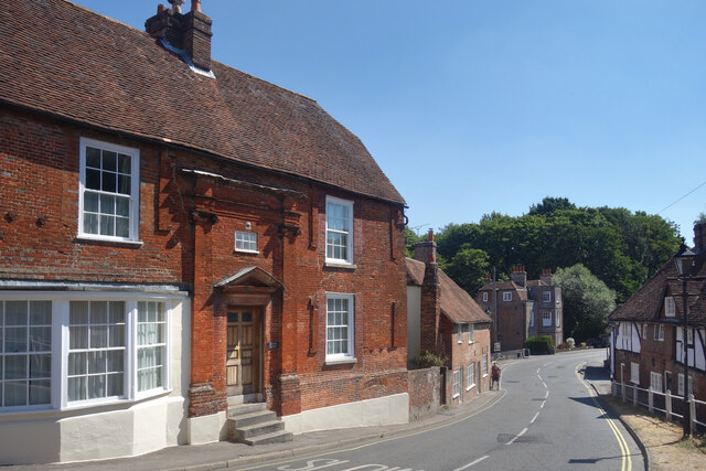
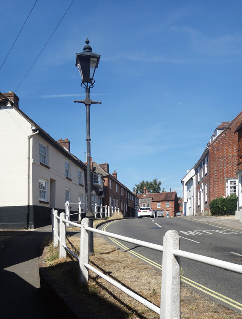
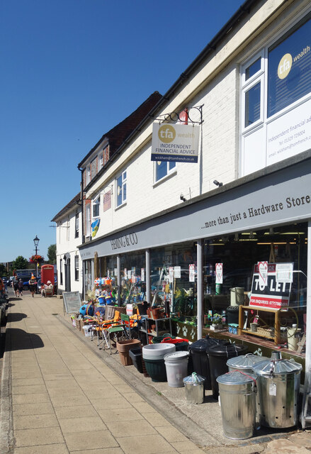
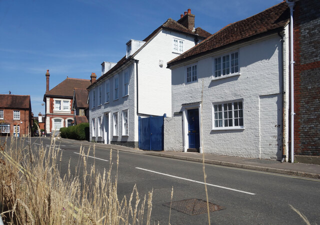
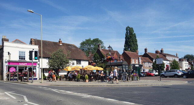
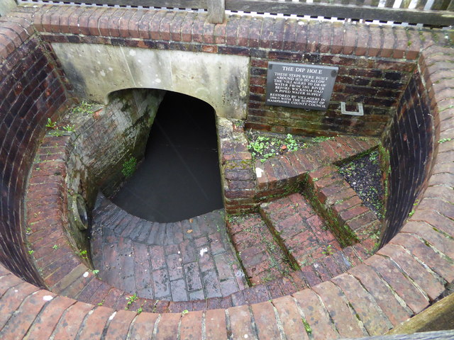
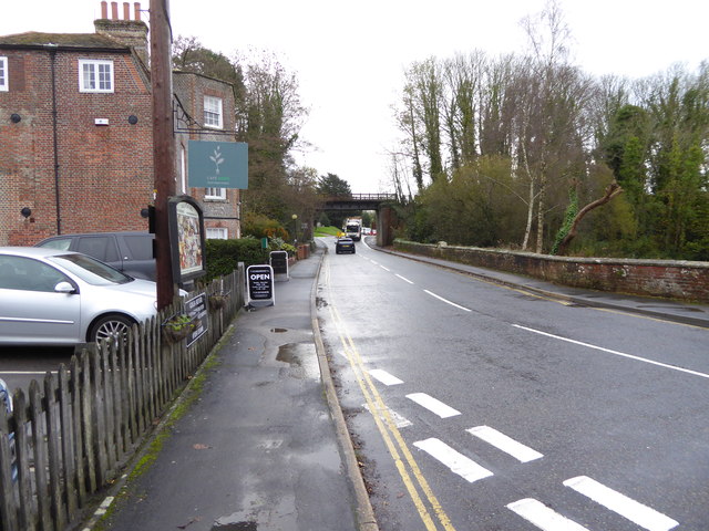
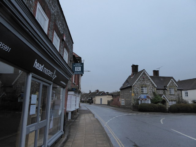
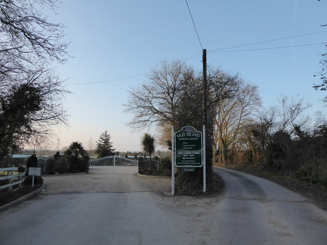
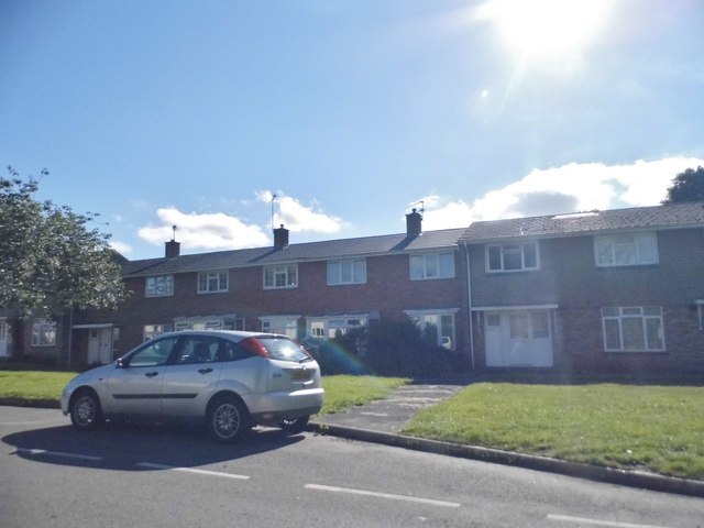
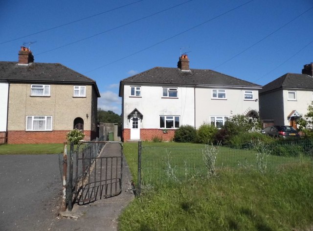
Crocker Hill Images

Images are sourced within 2km of 50.887634/-1.1776913 or Grid Reference SU5710. Thanks to Geograph Open Source API. All images are credited.

Looking Up Bridge Street Uphill to the town centre from down by the bridge.
Looking Up Bridge Street
Uphill to the town centre from down by the bridge.
Looking Down Bridge Street Towards the bridge over the River Meon.
Looking Down Bridge Street
Towards the bridge over the River Meon.
Lamp Post on Bridge Street An old style street lamp in an old style street. The glass on the left of the lamp is blacked out because it is at the same level as the upper window of a nearby house.
Lamp Post on Bridge Street
An old style street lamp in an old style street. The glass on the left of the lamp is blacked out because it is at the same level as the upper window of a nearby house.
Heming & Co's Hardware Store Bins and pots and colourful stuff on display outside a shop in Wickham town centre.
Heming & Co's Hardware Store
Bins and pots and colourful stuff on display outside a shop in Wickham town centre.
The top end of Bridge Street Bridge Street goes between the River Meon and the town centre.
The top end of Bridge Street
Bridge Street goes between the River Meon and the town centre.
Outside the pub, Wickham A sunny Saturday morning at the Square Cow pub.
Outside the pub, Wickham
A sunny Saturday morning at the Square Cow pub.
The Dip Hole at Wickham Another view is at <a title="https://www.geograph.org.uk/photo/1472085" href="https://www.geograph.org.uk/photo/1472085">Link</a>.
The Dip Hole at Wickham
Another view is at Link.
Looking east on Bridge Street to the disused railway bridge There are two bridges here, the road bridge over the River Meon and the former railway bridge which now carries a bridleway.
See also <a title="https://www.geograph.org.uk/photo/1472034" href="https://www.geograph.org.uk/photo/1472034">Link</a>.
Looking east on Bridge Street to the disused railway bridge
There are two bridges here, the road bridge over the River Meon and the former railway bridge which now carries a bridleway. See also Link.
2016: a year on Geograph (Day 69) Junction of Station Road and Bridge Street
2016: a year on Geograph (Day 69)
Junction of Station Road and Bridge Street
2016: a year on Geograph (Day 82) Entrance to Mud Island Nursery
2016: a year on Geograph (Day 82)
Entrance to Mud Island Nursery
Houses on School Road, Wickham
Tree on School Road, Wickham
The A32, Wickham
The A32, Wickham
House on Bridge Street, Wickham
Heming & Co, Wickham A traditional ironmonger store
Heming & Co, Wickham
A traditional ironmonger store
The Square, Wickham
The Square, Wickham
Shops on The Square, Wickham
Show me another place!

Crocker Hill is located at Grid Ref: SU5710 (Lat: 50.887634, Lng: -1.1776913)

Administrative County: Hampshire

District: Winchester

Police Authority: Hampshire

What 3 Words

///lilac.charts.lamp. Near Wickham, Hampshire

Related Wikis

Crockerhill, Hampshire

Crockerhill is a hamlet in south Hampshire, England. The population at the 2011 Census was included in the Borough of Fareham == References == The geographic...
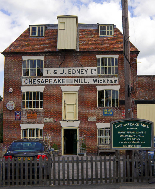
Chesapeake Mill

The Chesapeake Mill is a watermill in Wickham, Hampshire, England. The flour mill was constructed in 1820 using the timbers of HMS Chesapeake, which had...

Wickham railway station (Hampshire)

Wickham (Hants) railway station served the village of Wickham in Hampshire, England. It was on the Meon Valley line of the London and South Western Railway...
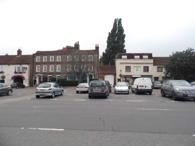
Wickham, Hampshire

Wickham () is a large village in the civil parish of Wickham and Knowle, in the Winchester district, in the county of Hampshire, England. It is about 3...

Welborne, Hampshire

Welborne is a proposed new town to the north of Fareham, England, intended to include 6,000 houses with businesses and community facilities. A plan for...

Knowle Hospital

Knowle Hospital, was a psychiatric hospital that was repurposed as the village of Knowle near the town of Fareham in Hampshire, southern England, which...
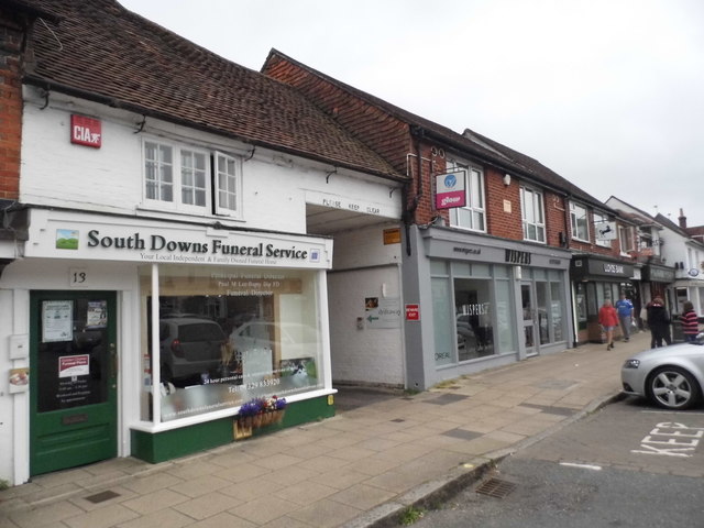
Knowle, Hampshire

Knowle is a village with mainly 21st century shops and businesses in the civil parish of Wickham and Knowle, in the Winchester district of Hampshire, England...
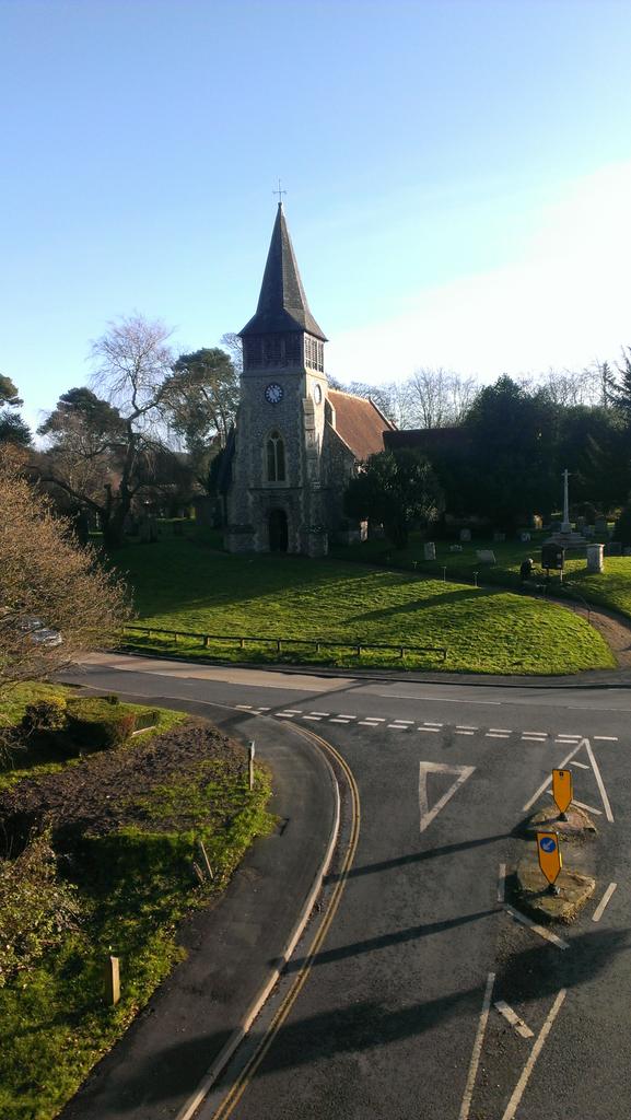
Boarhunt

Boarhunt () is a village and civil parish in the City of Winchester district of Hampshire, England, about 2 miles (3 kilometres) north-east of Fareham...

Nearby Amenities

Located within 500m of 50.887634,-1.1776913
Bus Stop
Water Tower
Naptan AtcoCode: 1900HA110781
Naptan Bearing: N
Naptan CommonName: Water Tower
Naptan Crossing: Hoad's Hill
Naptan NaptanCode: hamdtdjt
Naptan PlusbusZoneRef: FAREHAM
Naptan Street: Wickham Road
Naptan Verified: no
Source: naptan_import
Lat/Long: 50.8881318/-1.1806966
Bus Stop
Water Tower
Naptan AtcoCode: 1900HA110782
Naptan Bearing: S
Naptan CommonName: Water Tower
Naptan Crossing: Hoad's Hill
Naptan NaptanCode: hamdtdjw
Naptan PlusbusZoneRef: FAREHAM
Naptan Street: Wickham Road
Naptan Verified: no
Source: naptan_import
Lat/Long: 50.8881309/-1.1805687
Post Box
Operator: Royal Mail
Post Box Type: lamp
Ref: PO17 81
Royal Cypher: EIIR
Royal Cypher Wikidata: Q33102113
Lat/Long: 50.8889316/-1.1807582
Crockerhill
Ele: 64
Natural: peak
Lat/Long: 50.8877514/-1.1777021
Power: pole
Source: Bing
Lat/Long: 50.8889475/-1.1719953
Power: pole
Source: Bing
Lat/Long: 50.8844938/-1.1798874
Power: pole
Source: Bing
Lat/Long: 50.8843914/-1.1781902
Power: pole
Source: Bing
Lat/Long: 50.8893509/-1.1711387
Power: pole
Source: Bing
Lat/Long: 50.8885108/-1.1727635
Power: pole
Source: Bing
Lat/Long: 50.8859279/-1.1759586
Power: pole
Lat/Long: 50.8845995/-1.1817352
Power: pole
Lat/Long: 50.8851395/-1.1770702
Power: pole
Lat/Long: 50.8867738/-1.174901
The data included in this document is from www.openstreetmap.org. The data is made available under ODbL.

Have you been to Crocker Hill?

Leave your review of Crocker Hill below (or comments, questions and feedback).