Birstall Hill
Hill, Mountain in Leicestershire
England
Birstall Hill

Birstall Hill is a prominent landmark located in the county of Leicestershire, England. Situated in the village of Birstall, it is a small hill known for its picturesque views and historical significance. Rising to a height of around 150 meters above sea level, Birstall Hill offers panoramic vistas of the surrounding countryside and nearby towns.
The hill is primarily composed of sandstone, which gives it a distinctive reddish hue. It is covered with lush green vegetation, including grasslands and scattered trees. The slopes of Birstall Hill are gentle, making it easily accessible for hikers and nature enthusiasts.
One of the notable features of Birstall Hill is the presence of an Iron Age hillfort on its summit. This ancient site dates back to around 500 BC and is believed to have been used as a defensive structure by the early inhabitants of the area. The remains of earthworks and ditches can still be seen, providing a glimpse into the region's rich history.
In addition to its historical significance, Birstall Hill is also a popular spot for outdoor activities such as walking, picnicking, and birdwatching. The hill is home to a variety of bird species, including kestrels, buzzards, and owls, making it a haven for bird enthusiasts.
Overall, Birstall Hill is a captivating natural landmark that offers a blend of scenic beauty and archaeological interest. Its accessibility and diverse range of activities make it a cherished destination for both locals and visitors to Leicestershire.
If you have any feedback on the listing, please let us know in the comments section below.
Birstall Hill Images
Images are sourced within 2km of 52.673872/-1.1447639 or Grid Reference SK5708. Thanks to Geograph Open Source API. All images are credited.


Birstall Hill is located at Grid Ref: SK5708 (Lat: 52.673872, Lng: -1.1447639)
Unitary Authority: Leicester
Police Authority: Leicestershire
What 3 Words
///zones.loans.member. Near Anstey, Leicestershire
Nearby Locations
Related Wikis

Belgrave and Birstall railway station
Belgrave and Birstall railway station was a railway station opened by the Great Central Railway in 1899. It served the villages of Belgrave and Birstall...

Beaumont Leys
Beaumont Leys is a suburb and electoral ward in north-western Leicester, in the Leicester district, in the ceremonial county of Leicestershire, England...
Thurcaston
Thurcaston is a village and former civil parish, now in the parish of Thurcaston and Cropston, in the Charnwood district, in Leicestershire, England. It...

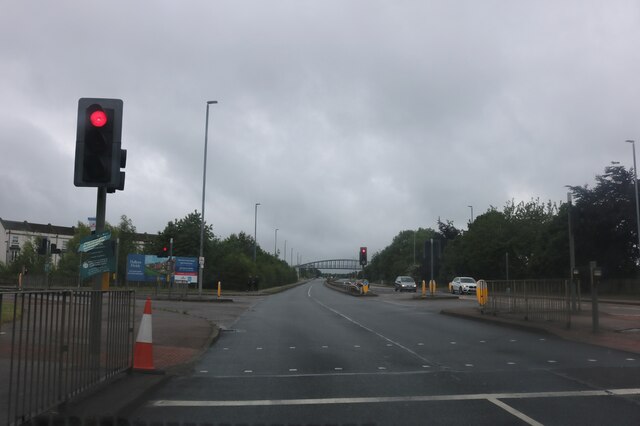
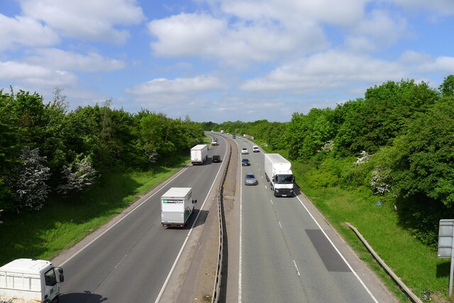
Red Hill filling station
The Red Hill filling station on the west of the A6, Loughborough Road, approximately 300 metres (980 ft) north of Red Hill Circle in Birstall near Leicester...
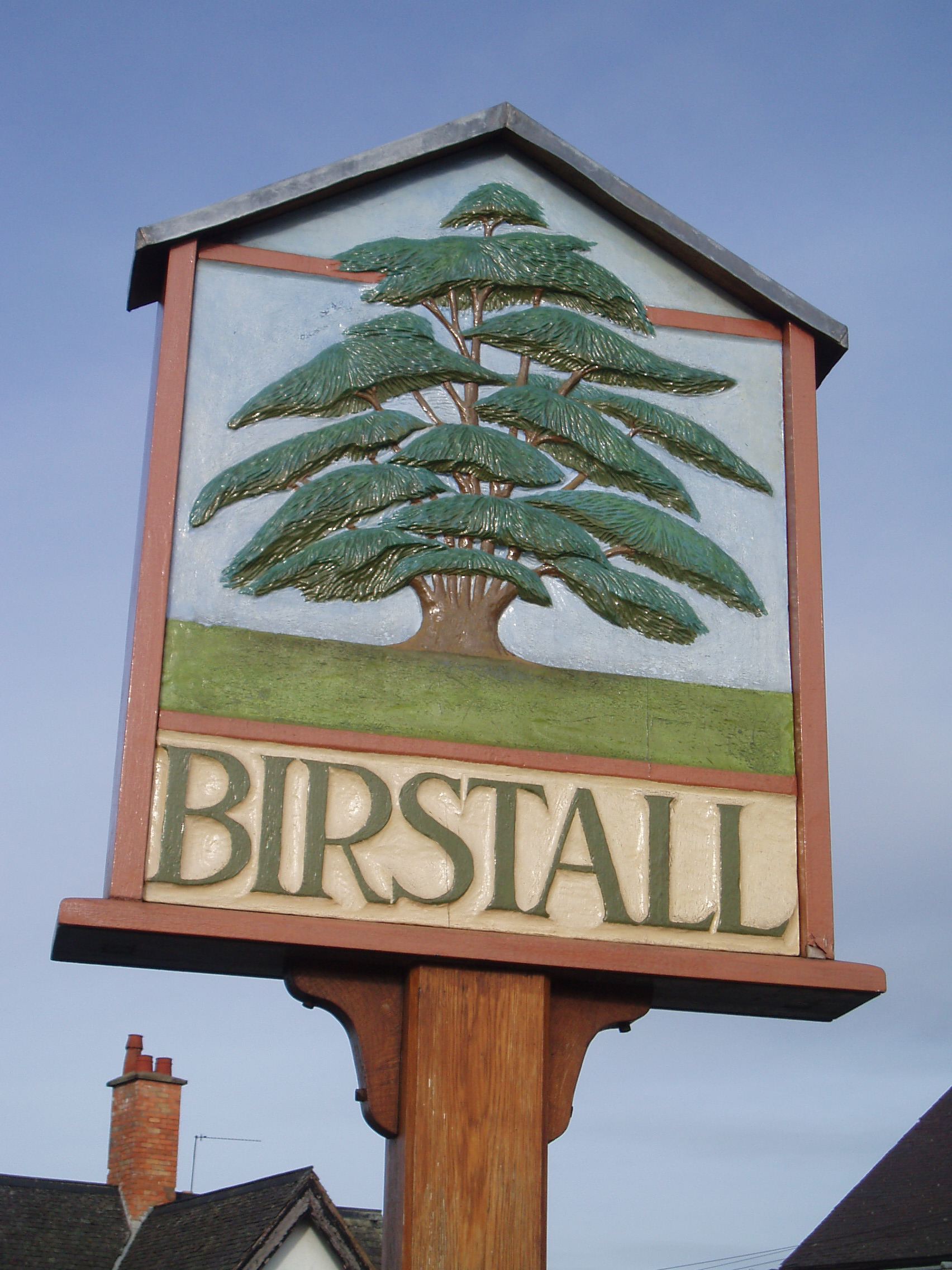
Birstall, Leicestershire
Birstall is a large village and civil parish within the Charnwood borough of Leicestershire, England. It is three miles north of Leicester city centre...

Beaumont Shopping Centre
Beaumont Shopping Centre is in Beaumont Leys, on the edge of Leicester. The 301,099 sq ft (27,973.0 m2) shopping centre is owned by British Land and managed...
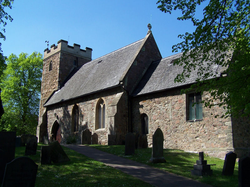
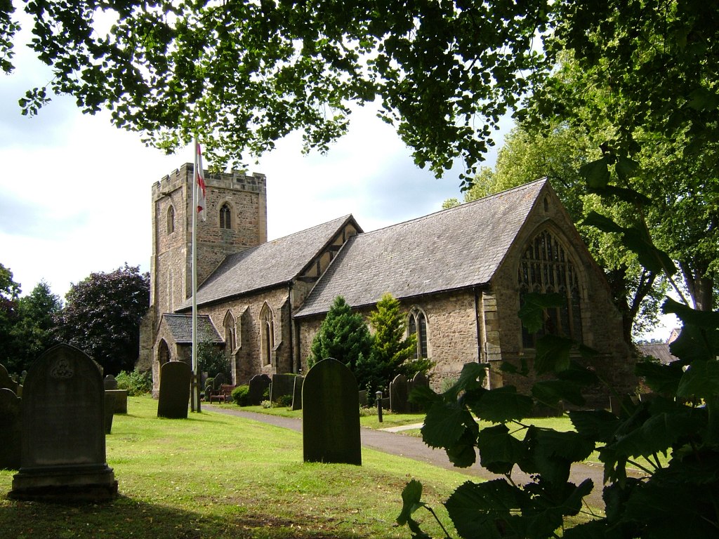
Church of St James the Great, Birstall
The Church of St James the Great is a church in Birstall, Leicestershire. It is a Grade II listed building. == History == The church dates from the Early...
Babington Academy
Babington Academy (formerly Babington Community College) is an 11–16 mixed secondary school with academy status in Beaumont Leys, Leicester, Leicestershire...
Nearby Amenities
Located within 500m of 52.673872,-1.1447639Have you been to Birstall Hill?
Leave your review of Birstall Hill below (or comments, questions and feedback).