Windmill Hill
Hill, Mountain in Oxfordshire South Oxfordshire
England
Windmill Hill
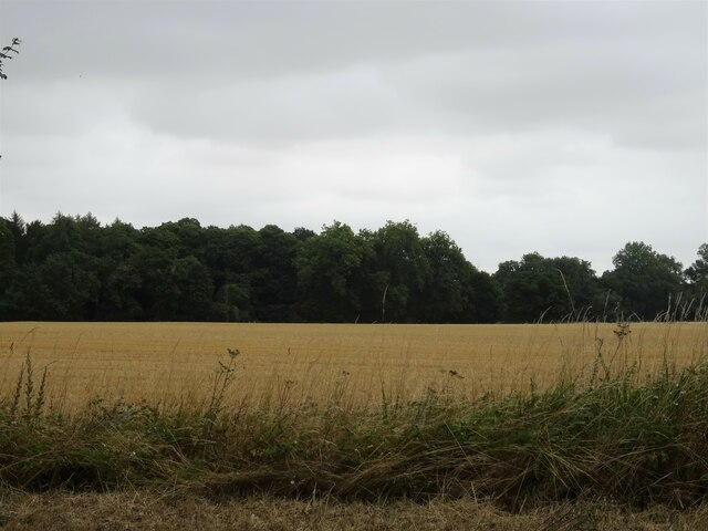
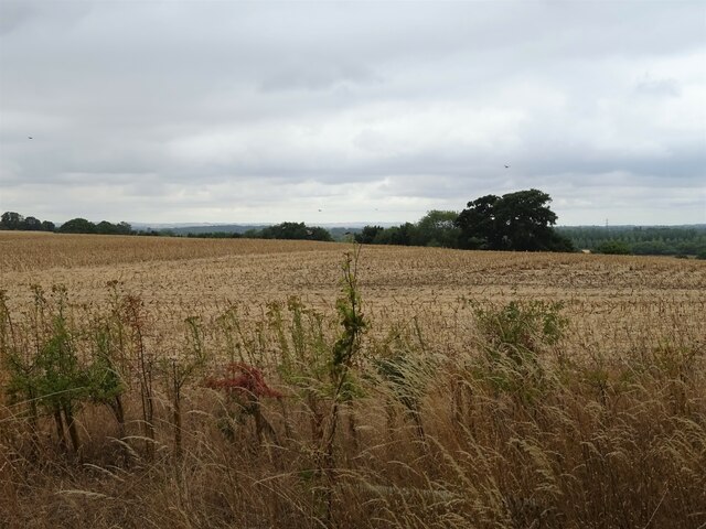
Windmill Hill is a prominent landmark located in the county of Oxfordshire, England. Situated near the village of Standlake, it is a gently sloping hill that reaches an elevation of approximately 85 meters (279 feet) above sea level. The hill offers panoramic views of the surrounding countryside, making it a popular destination for nature enthusiasts and hikers.
As its name suggests, Windmill Hill was historically home to a windmill, which was likely used for grinding grain. The windmill is no longer standing, but its remnants can still be seen on the hill, adding to its historical charm. The hill itself is covered in lush green grass and features a scattering of trees, providing a picturesque setting for visitors to enjoy.
Aside from its natural beauty, Windmill Hill also holds archaeological significance. In the late 20th century, excavations revealed the presence of a Neolithic causewayed enclosure on the hill. This discovery suggests that the area was inhabited by early communities thousands of years ago. The remains of pottery and other artifacts found at the site provide insight into the lives of these ancient settlers.
Today, Windmill Hill is a popular spot for outdoor activities such as walking, picnicking, and kite flying. Its location in the heart of the Oxfordshire countryside makes it easily accessible, attracting both locals and tourists alike. Whether one is seeking a peaceful retreat or an opportunity to connect with the region's rich history, Windmill Hill offers a serene and captivating experience.
If you have any feedback on the listing, please let us know in the comments section below.
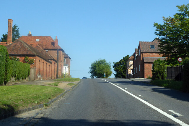
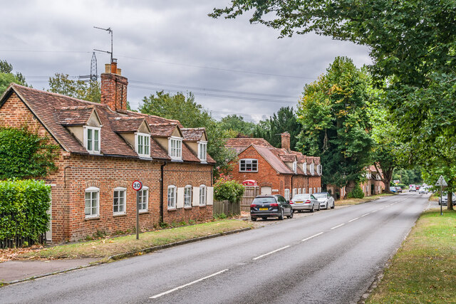
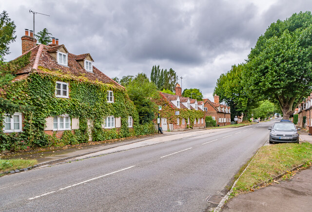
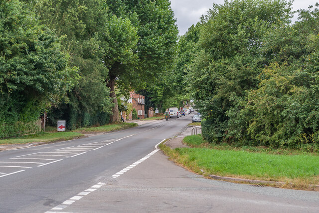
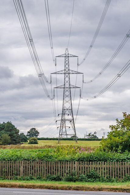
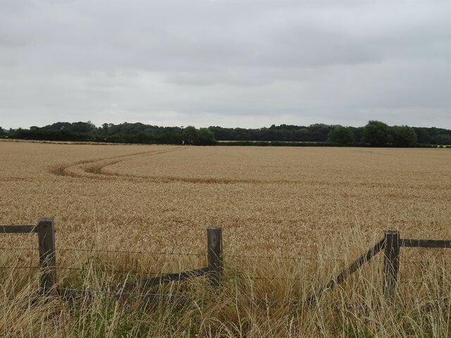
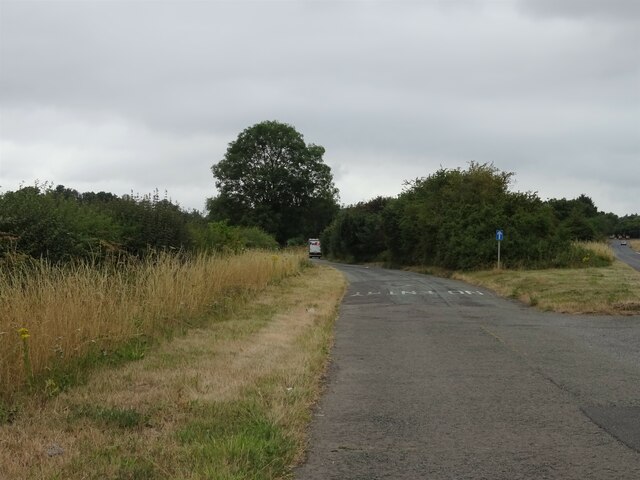
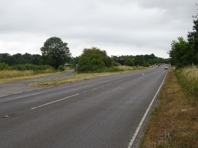
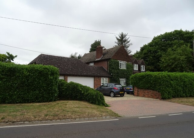
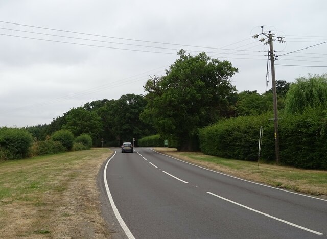
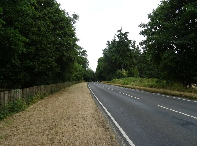
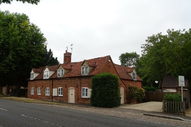
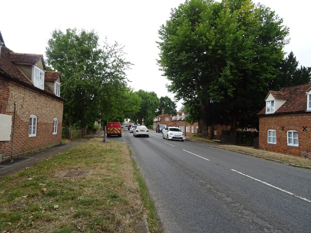
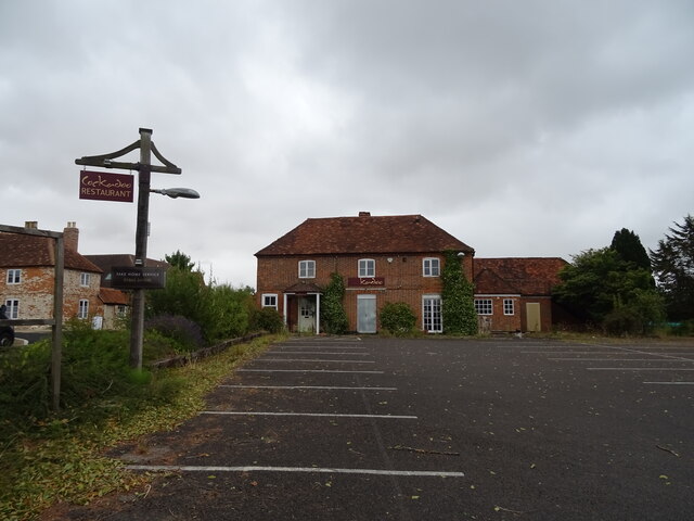
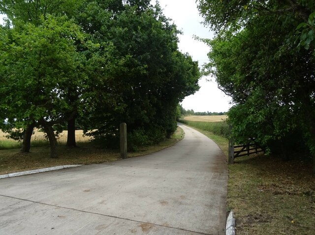
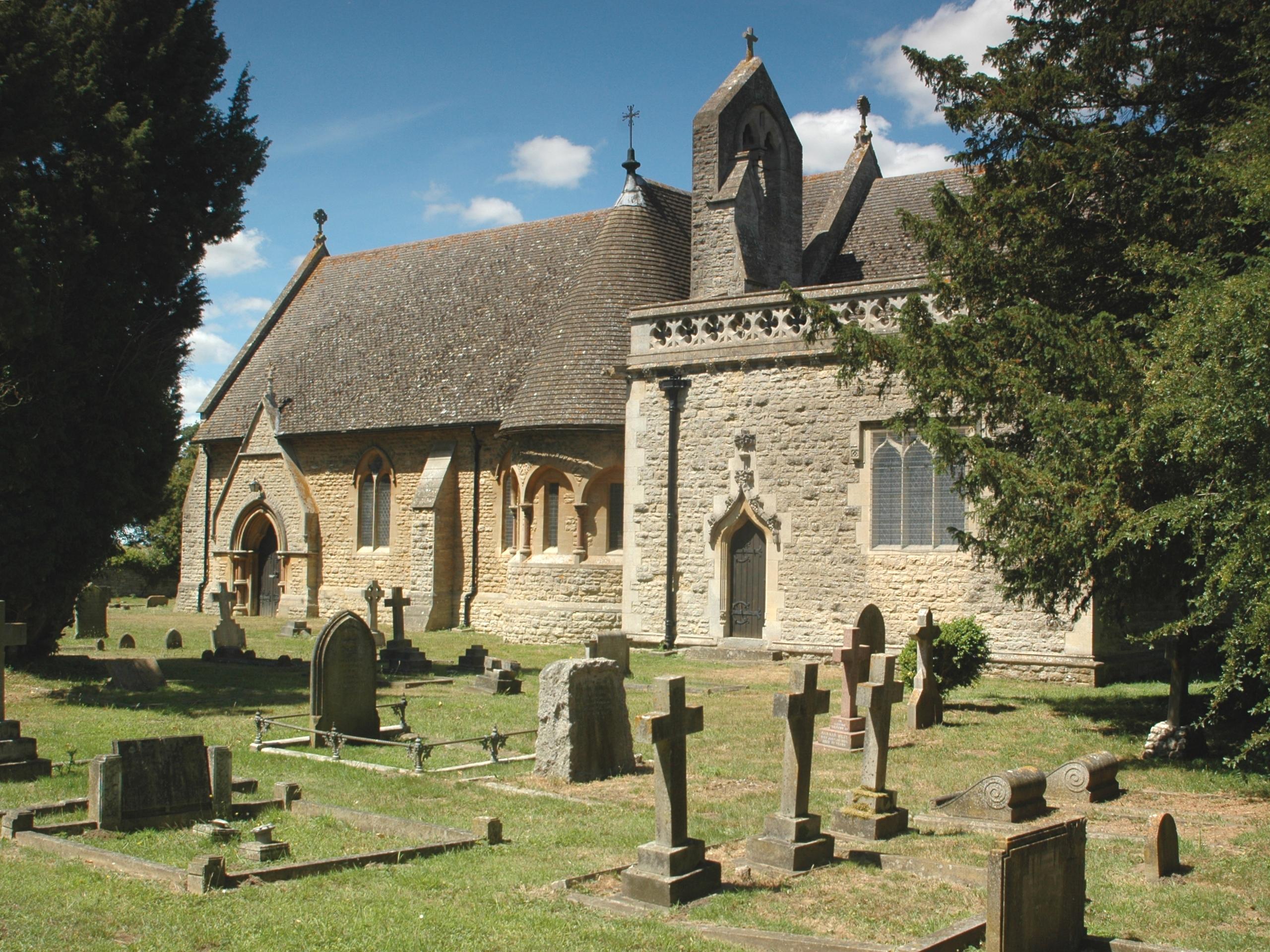
Windmill Hill Images
Images are sourced within 2km of 51.681966/-1.2020494 or Grid Reference SU5598. Thanks to Geograph Open Source API. All images are credited.
Windmill Hill is located at Grid Ref: SU5598 (Lat: 51.681966, Lng: -1.2020494)
Administrative County: Oxfordshire
District: South Oxfordshire
Police Authority: Thames Valley
What 3 Words
///jaundice.headline.march. Near Radley, Oxfordshire
Nearby Locations
Related Wikis

Harcourt Arboretum
Harcourt Arboretum is an arboretum owned and run by the University of Oxford. It is a satellite of the university's botanic garden in the city of Oxford...
Nuneham Courtenay
Nuneham Courtenay is a village and civil parish about 5 miles (8 km) SSE of Oxford. It occupies several miles close to the east bank of the River Thames...

Old All Saints Church, Nuneham Courtenay
Old All Saints Church, or Harcourt Chapel, is a redundant Church of England church near the village of Nuneham Courtenay, Oxfordshire, England. It is recorded...

Culham Rural District
Culham was a rural district in Oxfordshire, England, from 1894 to 1932. It was formed under the Local Government Act 1894 from the part of the Abingdon...

Baldon Row
Baldon Row is a hamlet in Toot Baldon civil parish, about 5 miles (8.0 km) southeast of Oxford in Oxfordshire. == External links == Media related to Baldon...
Baldons
Baldons is a joint parish council area covering the civil parishes of Toot Baldon and Marsh Baldon, in the South Oxfordshire district about 5 miles (8...
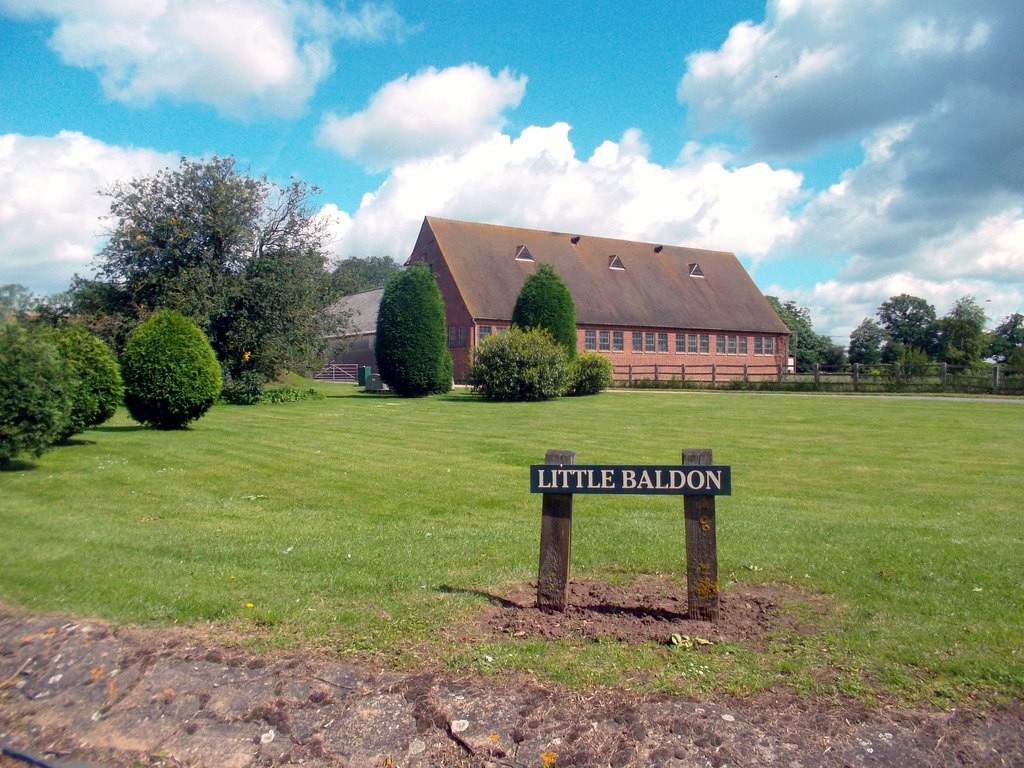
Little Baldon
Little Baldon is a hamlet in the Marsh Baldon civil parish, about 5 miles (8 km) southeast of Oxford in Oxfordshire, south of Marsh Baldon and west of...
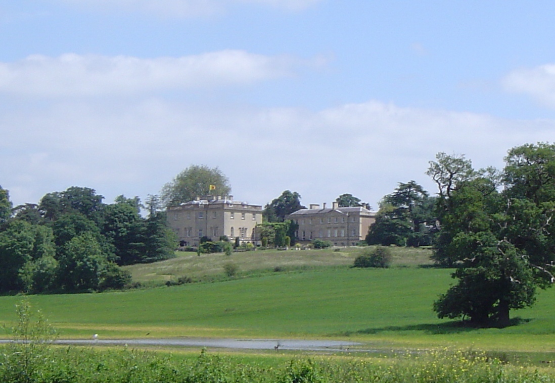
Nuneham House
Nuneham House is an eighteenth century villa in the Palladian style, set in parkland at Nuneham Courtenay in Oxfordshire, England. It is currently owned...
Nearby Amenities
Located within 500m of 51.681966,-1.2020494Have you been to Windmill Hill?
Leave your review of Windmill Hill below (or comments, questions and feedback).