Knowle Plantation

Wood, Forest in Oxfordshire South Oxfordshire

England

Knowle Plantation

Hilltop buildings, Nuneham Courtney On the A4074 at the north end of the village.
Hilltop buildings, Nuneham Courtney Credit: Robin Webster

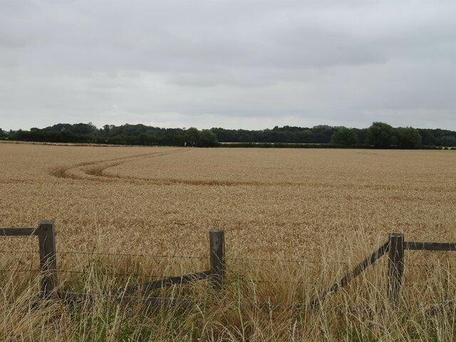
Knowle Plantation is a picturesque woodland located in Oxfordshire, England. Spanning an area of approximately 100 acres, it is renowned for its dense and diverse collection of trees, making it a popular destination for nature enthusiasts and outdoor adventurers alike.

The plantation boasts a rich history, dating back several centuries. It was originally established as a timber plantation in the 18th century, with the intention of providing a sustainable source of wood for the local community. Over the years, Knowle Plantation has evolved into a thriving forest characterized by its mature oak, beech, and chestnut trees. These majestic trees create a tranquil and serene atmosphere, allowing visitors to escape the hustle and bustle of everyday life.

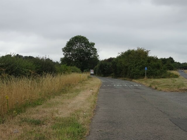
The woodland is crisscrossed by numerous footpaths, providing opportunities for leisurely strolls and invigorating hikes. As visitors explore the plantation, they can encounter a variety of wildlife, including deer, squirrels, and a wide array of bird species. Moreover, the plantation is home to several rare and protected plant species, adding to its ecological significance.

Knowle Plantation also offers recreational activities such as picnicking and camping. The vast open spaces and lush greenery make it an ideal spot for families and friends to gather and enjoy a day in nature. Additionally, the plantation hosts educational programs and workshops to promote environmental awareness and conservation.

Overall, Knowle Plantation in Oxfordshire is a captivating woodland retreat that showcases the beauty of nature. It provides a sanctuary for wildlife, offers recreational opportunities, and serves as a valuable resource for the local community.

If you have any feedback on the listing, please let us know in the comments section below.

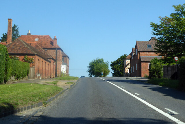
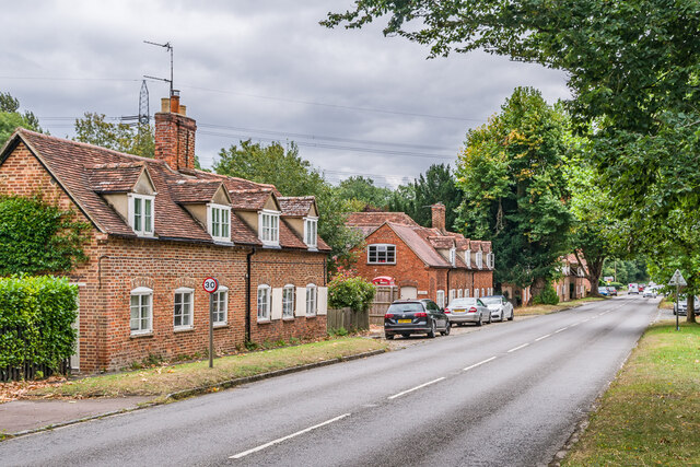
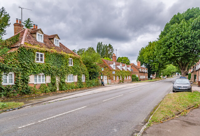
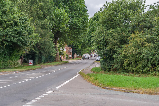
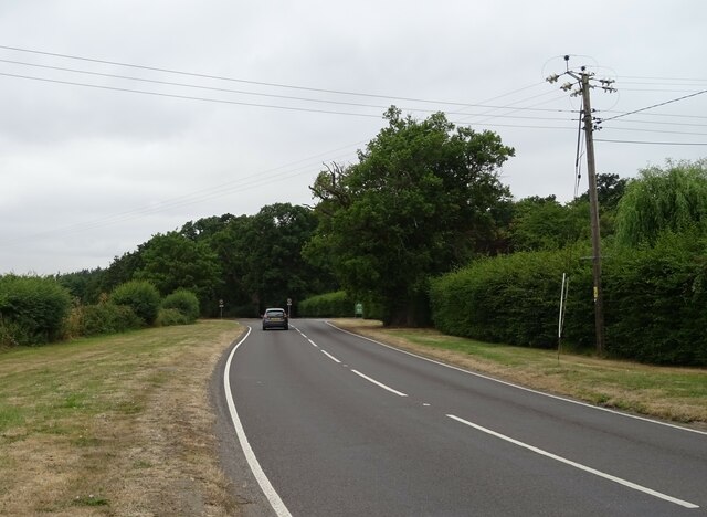
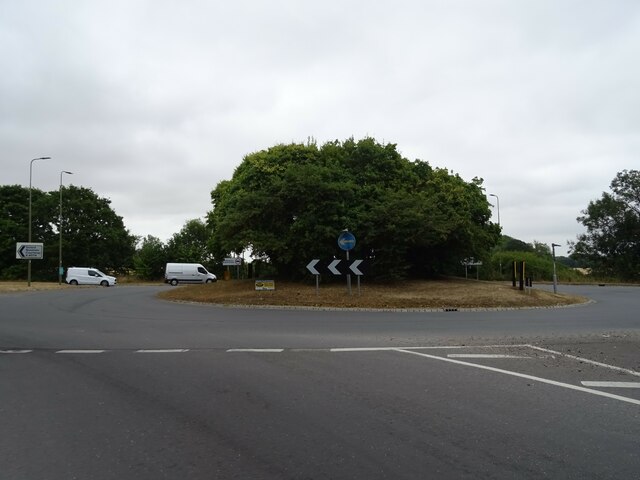
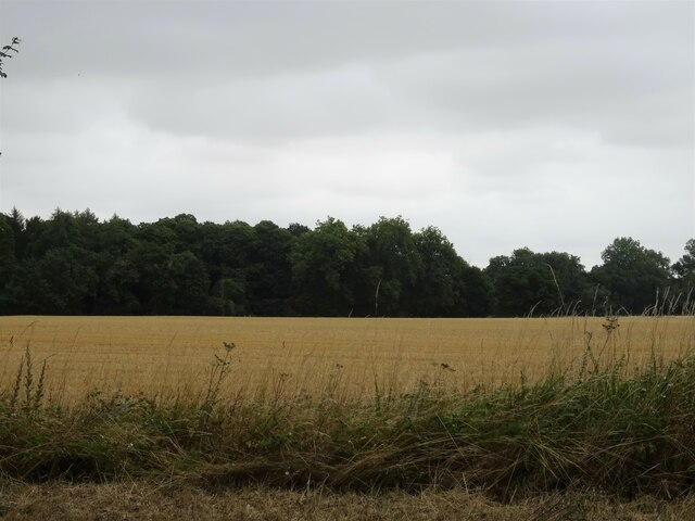
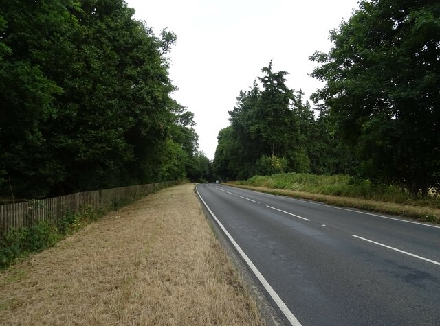
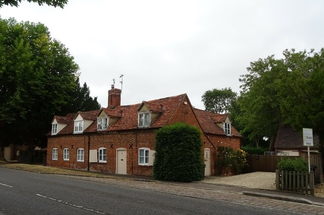
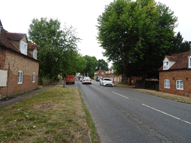
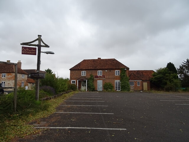
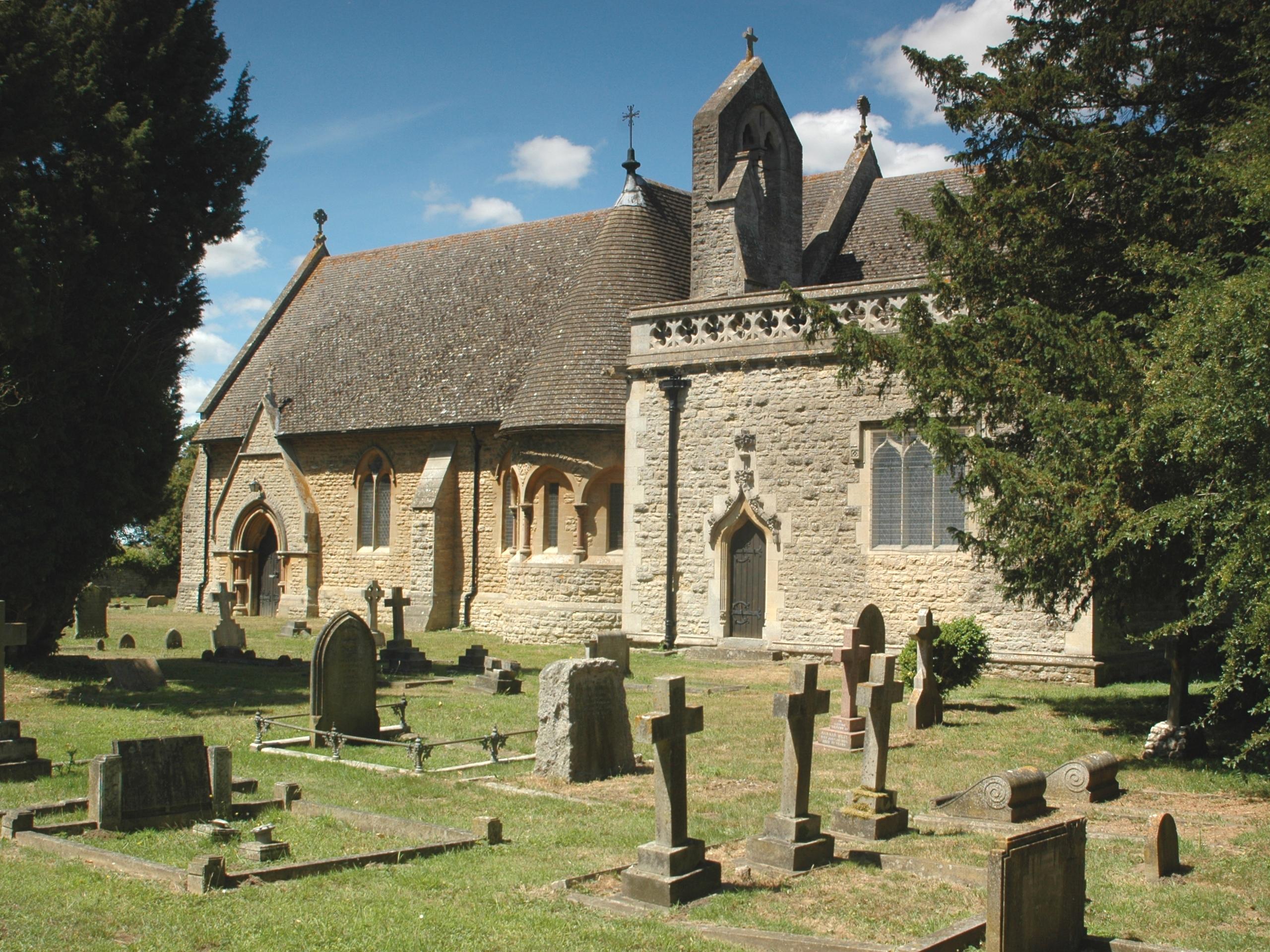
Knowle Plantation Images

Images are sourced within 2km of 51.679298/-1.2022988 or Grid Reference SU5598. Thanks to Geograph Open Source API. All images are credited.

Hilltop buildings, Nuneham Courtney On the A4074 at the north end of the village.
Hilltop buildings, Nuneham Courtney
On the A4074 at the north end of the village.
Nuneham Courtenay Mid 18th Century cottages on the A4074 through Nuneham Courtenay, built as part of a replacement village by the 1st Earl Harcourt when he built Nuneham House in around 1760, demolishing the old village to make way for the house and landscaped grounds.  The two buildings here, nos 29 & 30 (nearest) and nos 30A & 31 (beyond, with no 30A being the former post office) are both grade II listed - see <span class="nowrap"><a title="https://historicengland.org.uk/listing/the-list/list-entry/1368712?section=official-list-entry" rel="nofollow ugc noopener" href="https://historicengland.org.uk/listing/the-list/list-entry/1368712?section=official-list-entry">Link</a><img style="margin-left:2px;" alt="External link" title="External link - shift click to open in new window" src="https://s1.geograph.org.uk/img/external.png" width="10" height="10"/></span> and <span class="nowrap"><a title="https://historicengland.org.uk/listing/the-list/list-entry/1048036?section=official-list-entry" rel="nofollow ugc noopener" href="https://historicengland.org.uk/listing/the-list/list-entry/1048036?section=official-list-entry">Link</a><img style="margin-left:2px;" alt="External link" title="External link - shift click to open in new window" src="https://s1.geograph.org.uk/img/external.png" width="10" height="10"/></span> respectively - as are most of the buildings in the village.
Nuneham Courtenay
Mid 18th Century cottages on the A4074 through Nuneham Courtenay, built as part of a replacement village by the 1st Earl Harcourt when he built Nuneham House in around 1760, demolishing the old village to make way for the house and landscaped grounds. The two buildings here, nos 29 & 30 (nearest) and nos 30A & 31 (beyond, with no 30A being the former post office) are both grade II listed - see LinkExternal link and LinkExternal link respectively - as are most of the buildings in the village.
Nuneham Courtenay Mid 18th Century cottages on the A4074 through Nuneham Courtenay, built as part of a replacement village by the 1st Earl Harcourt when he built Nuneham House in around 1760, demolishing the old village to make way for the house and landscaped grounds.  The three buildings here, nos 1 & 2 (nearest), then nos 3 & 4 and then nos 5 & 6 (beyond) are all grade II listed - see <span class="nowrap"><a title="https://historicengland.org.uk/listing/the-list/list-entry/1048044?section=official-list-entry," rel="nofollow ugc noopener" href="https://historicengland.org.uk/listing/the-list/list-entry/1048044?section=official-list-entry,">Link</a><img style="margin-left:2px;" alt="External link" title="External link - shift click to open in new window" src="https://s1.geograph.org.uk/img/external.png" width="10" height="10"/></span> <span class="nowrap"><a title="https://historicengland.org.uk/listing/the-list/list-entry/1193400?section=official-list-entry" rel="nofollow ugc noopener" href="https://historicengland.org.uk/listing/the-list/list-entry/1193400?section=official-list-entry">Link</a><img style="margin-left:2px;" alt="External link" title="External link - shift click to open in new window" src="https://s1.geograph.org.uk/img/external.png" width="10" height="10"/></span> and <span class="nowrap"><a title="https://historicengland.org.uk/listing/the-list/list-entry/1048043?section=official-list-entry" rel="nofollow ugc noopener" href="https://historicengland.org.uk/listing/the-list/list-entry/1048043?section=official-list-entry">Link</a><img style="margin-left:2px;" alt="External link" title="External link - shift click to open in new window" src="https://s1.geograph.org.uk/img/external.png" width="10" height="10"/></span> respectively - as are most of the buildings in the village.
Nuneham Courtenay
Mid 18th Century cottages on the A4074 through Nuneham Courtenay, built as part of a replacement village by the 1st Earl Harcourt when he built Nuneham House in around 1760, demolishing the old village to make way for the house and landscaped grounds. The three buildings here, nos 1 & 2 (nearest), then nos 3 & 4 and then nos 5 & 6 (beyond) are all grade II listed - see LinkExternal link LinkExternal link and LinkExternal link respectively - as are most of the buildings in the village.
Nuneham Courtenay Road junction onto the A4074 at the southern end of Nuneham Courtenay.
Nuneham Courtenay
Road junction onto the A4074 at the southern end of Nuneham Courtenay.
Pylons Pylons carrying transmission lines south of Nuneham Courtenay.
Pylons
Pylons carrying transmission lines south of Nuneham Courtenay.
Stubble field towards woodland near Burcot
Minor road near Burcot Farm Towards the A4074.
Minor road near Burcot Farm
Towards the A4074.
Cereal crop, Golden Balls Off the A4074.
Cereal crop, Golden Balls
Off the A4074.
Minor road towards Golden Balls
A4074, Golden Balls Towards Oxford.
A4074, Golden Balls
Towards Oxford.
House on Oxford Road, Golden Balls
Oxford Road (B4015), Golden Balls Towards Clifton Hampden.
Oxford Road (B4015), Golden Balls
Towards Clifton Hampden.
Roundabout on the A4074, Golden Balls
Stubble field and woodland, Marsh Baldon Off the A4074.
Stubble field and woodland, Marsh Baldon
Off the A4074.
A4074, Marsh Baldon Towards Oxford.
A4074, Marsh Baldon
Towards Oxford.
Cottages, Nuneham, Courtenay On the A4074.
Cottages, Nuneham, Courtenay
On the A4074.
A4074, Nuneham, Courtenay Towards Oxford.
A4074, Nuneham, Courtenay
Towards Oxford.
Former Cockadoo Restaurant, Nuneham, Courtenay Was once the Harcourt Arms public house.
Former Cockadoo Restaurant, Nuneham, Courtenay
Was once the Harcourt Arms public house.
Show me another place!

Knowle Plantation is located at Grid Ref: SU5598 (Lat: 51.679298, Lng: -1.2022988)

Administrative County: Oxfordshire

District: South Oxfordshire

Police Authority: Thames Valley

What 3 Words

///noodle.thickened.name. Near Radley, Oxfordshire

Related Wikis

Harcourt Arboretum

Harcourt Arboretum is an arboretum owned and run by the University of Oxford. It is a satellite of the university's botanic garden in the city of Oxford...

Culham Rural District

Culham was a rural district in Oxfordshire, England, from 1894 to 1932. It was formed under the Local Government Act 1894 from the part of the Abingdon...

Nuneham Courtenay

Nuneham Courtenay is a village and civil parish about 5 miles (8 km) SSE of Oxford. It occupies several miles close to the east bank of the River Thames...

Old All Saints Church, Nuneham Courtenay

Old All Saints Church, or Harcourt Chapel, is a redundant Church of England church near the village of Nuneham Courtenay, Oxfordshire, England. It is recorded...
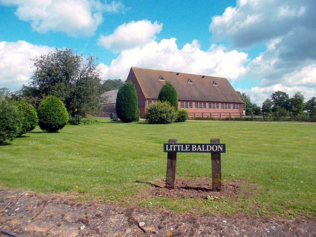
Little Baldon

Little Baldon is a hamlet in the Marsh Baldon civil parish, about 5 miles (8 km) southeast of Oxford in Oxfordshire, south of Marsh Baldon and west of...
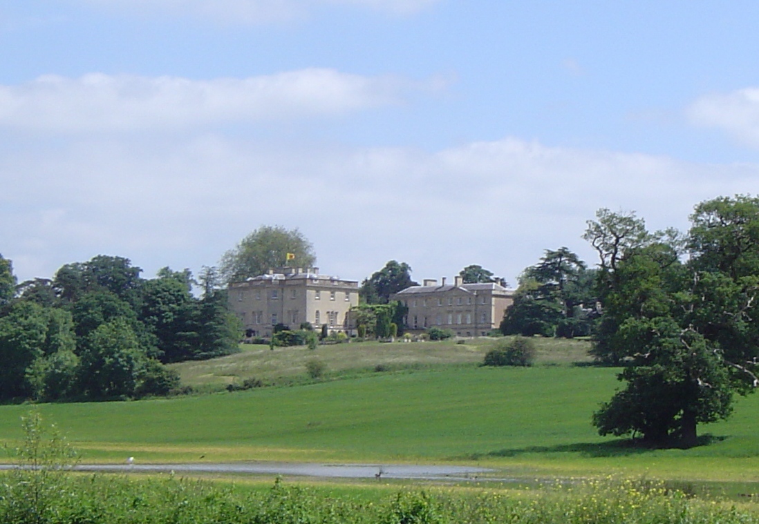
Nuneham House

Nuneham House is an eighteenth century villa in the Palladian style, set in parkland at Nuneham Courtenay in Oxfordshire, England. It is currently owned...

Baldon Row

Baldon Row is a hamlet in Toot Baldon civil parish, about 5 miles (8.0 km) southeast of Oxford in Oxfordshire. == External links == Media related to Baldon...

Baldons

Baldons is a joint parish council area covering the civil parishes of Toot Baldon and Marsh Baldon, in the South Oxfordshire district about 5 miles (8...

Nearby Amenities

Located within 500m of 51.679298,-1.2022988
Power: tower
Lat/Long: 51.6821475/-1.2059322
Power: tower
Lat/Long: 51.6797194/-1.2086487
Windmill Hill
Ele: 105
Natural: peak
Lat/Long: 51.6822225/-1.2013637
Leisure: picnic_table
Lat/Long: 51.6811392/-1.1981339
Tourism: viewpoint
Lat/Long: 51.682474/-1.2041685
Tourism: viewpoint
Lat/Long: 51.681551/-1.201629
Tourism: viewpoint
Lat/Long: 51.6823508/-1.2026747
Toilets
Lat/Long: 51.6806436/-1.198482
The data included in this document is from www.openstreetmap.org. The data is made available under ODbL.

Have you been to Knowle Plantation?

Leave your review of Knowle Plantation below (or comments, questions and feedback).