Cosby Hill

Hill, Mountain in Leicestershire Blaby

England

Cosby Hill

Farmland at Whetstone Gorse
Farmland at Whetstone Gorse Credit: Mat Fascione

Cosby Hill is a prominent geographical feature located in the county of Leicestershire, England. Standing at an elevation of approximately 142 meters (466 feet), it is classified as a hill rather than a mountain. Nestled in the charming village of Cosby, it offers breathtaking views of the surrounding countryside and is a popular destination for nature enthusiasts and hikers.

Covered in lush greenery, Cosby Hill is predominantly composed of limestone, which gives it a distinctive appearance. The hill is part of the larger Charnwood Forest, an ancient and picturesque woodland area that stretches across Leicestershire and beyond. Its proximity to Leicester, just 9 miles to the northeast, makes it easily accessible for both locals and visitors.

The hill boasts a network of well-maintained footpaths and trails, making it an ideal location for outdoor activities such as walking, jogging, and cycling. Wildlife is abundant in the area, with sightings of various bird species, rabbits, and other small mammals being common.

At the summit of Cosby Hill, there is an observation point where visitors can take in panoramic views of the surrounding countryside. On clear days, the vista stretches as far as the eye can see, offering stunning vistas of rolling hills, farmland, and villages dotted across the landscape.

Cosby Hill is not only a natural gem but also holds historical significance. The hill is believed to have been used as a defensive site during ancient times, with evidence of an Iron Age fort having been discovered in the vicinity.

Overall, Cosby Hill in Leicestershire is a beautiful and diverse natural landmark that offers both recreational opportunities and a glimpse into the area's rich history.

If you have any feedback on the listing, please let us know in the comments section below.
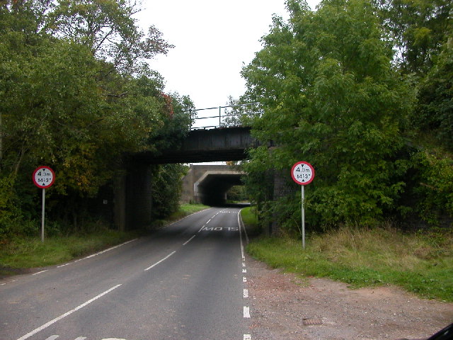
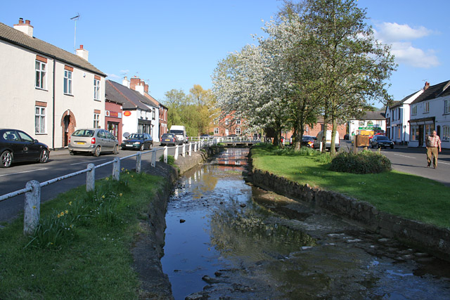
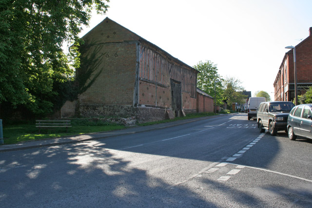
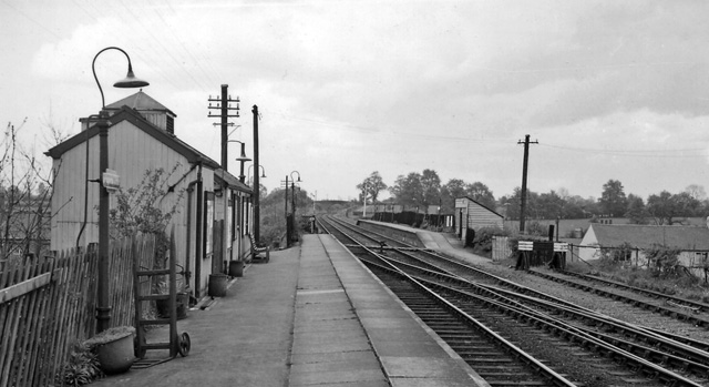
Cosby Hill Images

Images are sourced within 2km of 52.533408/-1.187535 or Grid Reference SP5593. Thanks to Geograph Open Source API. All images are credited.

Farmland at Whetstone Gorse
Whetstone Gorse Lane
Lutterworth Road, Whetstone
Country road, Cosby
Country road, Cosby
Cosby Old Central Railway and M1 Motorway cross the road leading out of the village to the A426 Leicester - Rugby Road.
Cosby
Old Central Railway and M1 Motorway cross the road leading out of the village to the A426 Leicester - Rugby Road.
The Nook, Cosby, Leicestershire Cosby Brook meanders through the village. It makes a focal point at The Nook and is crossed by a footbridge.
The Nook, Cosby, Leicestershire
Cosby Brook meanders through the village. It makes a focal point at The Nook and is crossed by a footbridge.
Old barn on Croft Road, Cosby
Shuttleworth Lane near Cosby This hump back bridge goes over the dismantled Leicester to Rugby railway line.
Shuttleworth Lane near Cosby
This hump back bridge goes over the dismantled Leicester to Rugby railway line.
Cosby Golf Course
Cosby Golf Course
Farmland on Shuttleworth Lane near Cosby A public footpath starts from this point, going north towards Cosby
Farmland on Shuttleworth Lane near Cosby
A public footpath starts from this point, going north towards Cosby
Farmland on Shuttleworth Lane near Cosby At the top of Cosby Hill.
Farmland on Shuttleworth Lane near Cosby
At the top of Cosby Hill.
Whetstone Gorse Lane, near Countesthorpe, Leicestershire
Whetstone Gorse, near Countesthorpe, Leicestershire This hamlet is made up of three farms and a few cottages spread over a reasonably wide area. This is Whetstone Gorse East.
Whetstone Gorse, near Countesthorpe, Leicestershire
This hamlet is made up of three farms and a few cottages spread over a reasonably wide area. This is Whetstone Gorse East.
Whetstone Gorse Lane, near Countesthorpe, Leicestershire The remains of the bridge that once carried the Leicester to Rugby railway line over this narrow country road.
Whetstone Gorse Lane, near Countesthorpe, Leicestershire
The remains of the bridge that once carried the Leicester to Rugby railway line over this narrow country road.
Farmland at Whetstone Gorse The trees on the left follow the line of the dismantled railway.
Farmland at Whetstone Gorse
The trees on the left follow the line of the dismantled railway.
M1 and Great Central bridges near Ashby Magna Looking along the Ashby Magna - Cosby road from under the M1 bridge to the parapets of the Great Central railway bridge.  For a brief period motorway and railway ran in parallel for several miles through south Leicestershire, but the railway was closed in 1969 and is now heavily overgrown.  This is a very quiet lane, but the location is dominated by the incessant roar of traffic on the M1.
M1 and Great Central bridges near Ashby Magna
Looking along the Ashby Magna - Cosby road from under the M1 bridge to the parapets of the Great Central railway bridge. For a brief period motorway and railway ran in parallel for several miles through south Leicestershire, but the railway was closed in 1969 and is now heavily overgrown. This is a very quiet lane, but the location is dominated by the incessant roar of traffic on the M1.
Pond near Cosby Hill This pond lies adjacent to the Ashby Magna - Cosby road south of Cosby Hill.
Pond near Cosby Hill
This pond lies adjacent to the Ashby Magna - Cosby road south of Cosby Hill.
Lane near Willoughby Waterleys Looking towards Willoughby Waterleys along the lane from Cosby by the entrance to Lodge Farm.
Lane near Willoughby Waterleys
Looking towards Willoughby Waterleys along the lane from Cosby by the entrance to Lodge Farm.
Show me another place!

Cosby Hill is located at Grid Ref: SP5593 (Lat: 52.533408, Lng: -1.187535)

Administrative County: Leicestershire

District: Blaby

Police Authority: Leicestershire

What 3 Words

///wiring.botanists.herbs. Near Cosby, Leicestershire

Nearby Locations

Cosby Hill

Related Wikis

Cosby, Leicestershire

Cosby is a village in the English county of Leicestershire. Cosby is located in the south of the county near the larger villages and towns of Whetstone...

Broughton Astley railway station

Broughton Astley railway station was a railway station serving Broughton Astley in Leicestershire, England. The station was opened on 30 June 1840 on the...

Ashby Magna railway station

Ashby Magna was a station on the Great Central Railway, the last main line to be constructed from the north of England to London, which opened in 1899...

Thomas Estley Community College

Thomas Estley Community College is a coeducational secondary school with academy status, located in Broughton Astley, Leicestershire, England. It caters...

Nearby Amenities

Located within 500m of 52.533408,-1.187535
Colour: red and white
Marker: aerial
Material: plastic
Utility: gas
Lat/Long: 52.5356183/-1.1917079
Colour: red
Marker: post
Material: plastic
Utility: gas
Lat/Long: 52.5356176/-1.1917033
Colour: red
Marker: post
Material: concrete
Utility: gas
Lat/Long: 52.5356154/-1.1917082
Colour: red
Marker: post
Material: concrete
Utility: gas
Lat/Long: 52.5356548/-1.1916227
Colour: red
Marker: post
Material: plastic
Utility: gas
Lat/Long: 52.535657/-1.1916179
The data included in this document is from www.openstreetmap.org. The data is made available under ODbL.

Have you been to Cosby Hill?

Leave your review of Cosby Hill below (or comments, questions and feedback).