Brands Hill
Hill, Mountain in Nottinghamshire Rushcliffe
England
Brands Hill
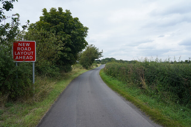
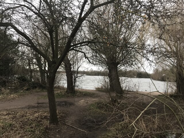
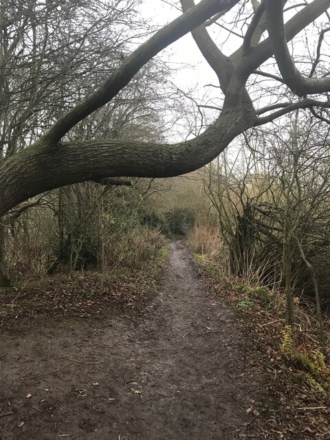
Brands Hill is a small hill located in the county of Nottinghamshire, England. Situated in the eastern part of the county, it is part of the wider Nottinghamshire countryside, known for its rolling hills and picturesque landscapes.
Standing at approximately 200 meters in height, Brands Hill is not particularly tall compared to other notable hills in the region. However, its location offers stunning panoramic views of the surrounding countryside, making it a popular spot for walkers and nature enthusiasts.
The hill is covered in lush green vegetation, with a mix of grasses, wildflowers, and scattered trees. It is home to a variety of wildlife, including birds, small mammals, and insects. The area is also known for its rich biodiversity, with several rare plant species found on the hill.
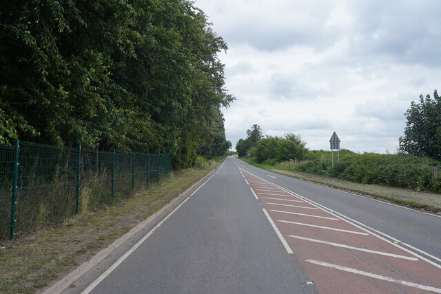
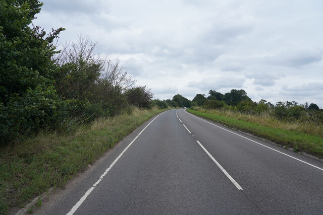
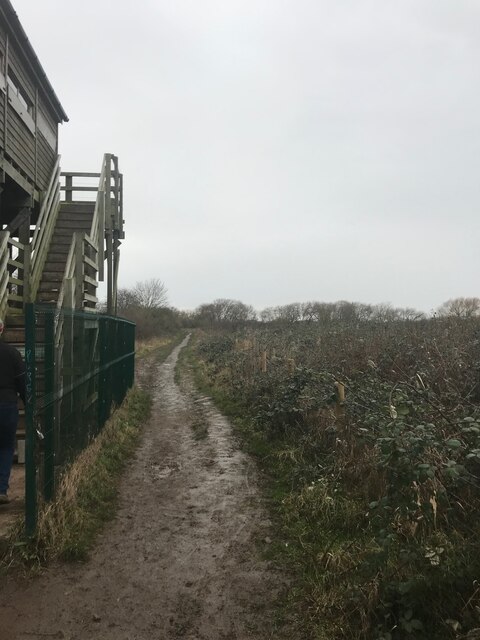
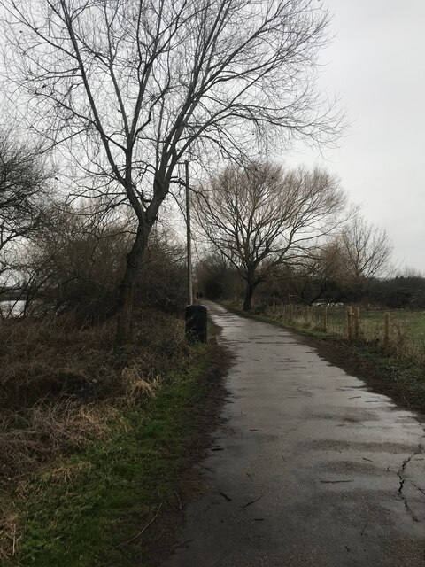
Brands Hill is easily accessible, with a network of footpaths leading up to its summit. Visitors can enjoy a leisurely stroll or a more challenging hike, depending on their preferences and fitness levels. The hill is also a great spot for picnicking, with several designated areas providing benches and tables.
The hill has a sense of tranquility and offers a peaceful escape from the hustle and bustle of urban life. Whether it's to enjoy the beautiful views, explore the natural surroundings, or simply unwind in nature, Brands Hill is a hidden gem in Nottinghamshire.
If you have any feedback on the listing, please let us know in the comments section below.
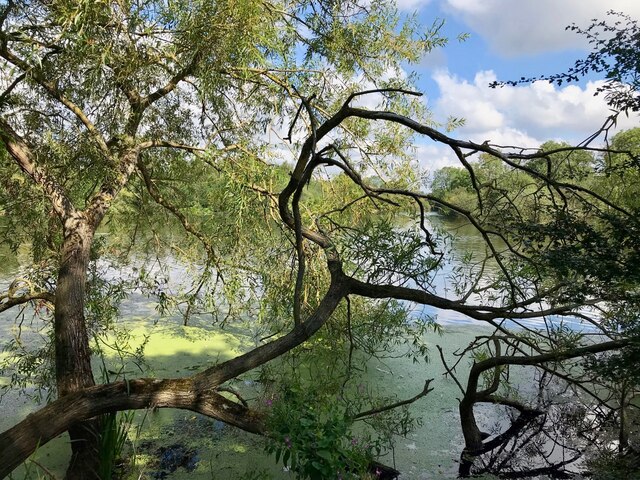
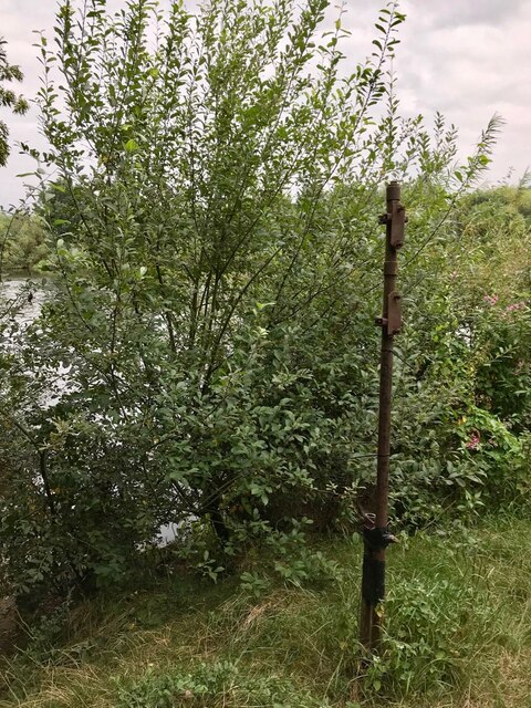
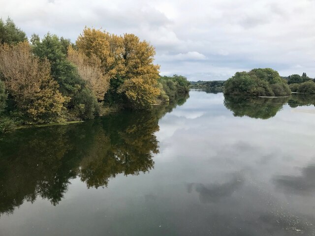
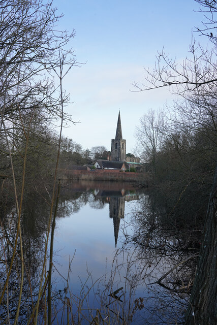
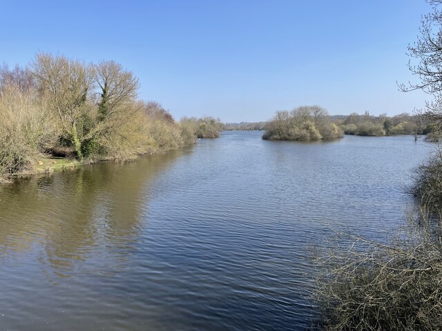
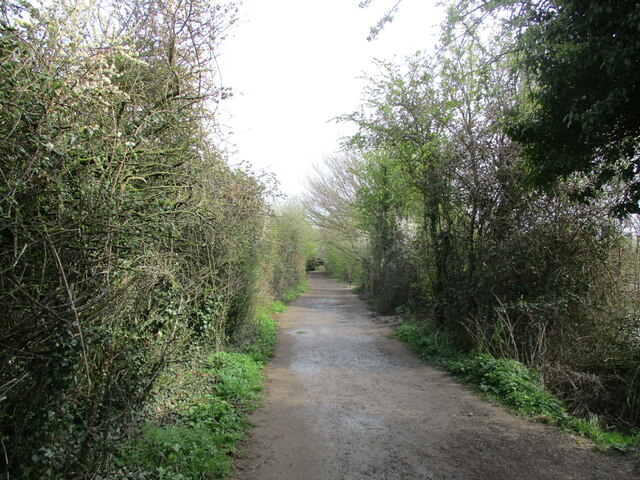
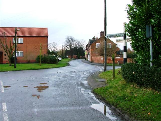
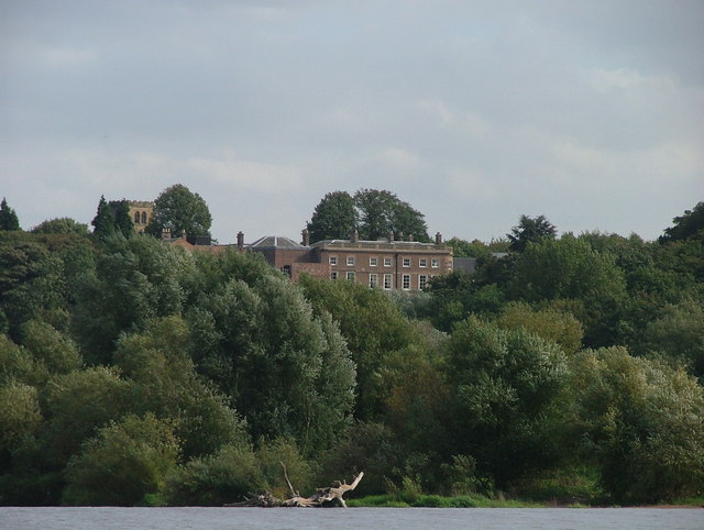
Brands Hill Images
Images are sourced within 2km of 52.895929/-1.2097012 or Grid Reference SK5333. Thanks to Geograph Open Source API. All images are credited.


Brands Hill is located at Grid Ref: SK5333 (Lat: 52.895929, Lng: -1.2097012)
Administrative County: Nottinghamshire
District: Rushcliffe
Police Authority: Nottinghamshire
What 3 Words
///carbon.green.shack. Near Gotham, Nottinghamshire
Nearby Locations
Related Wikis
Barton in Fabis
Barton in Fabis is a village and civil parish in the Rushcliffe district of Nottinghamshire. It has a population of about 250, being measured at 266 in...

Clifton South tram stop
Clifton South is a tram stop and Park & Ride site on the Nottingham Express Transit (NET) network. It is situated in the Borough of Rushcliffe, just to...

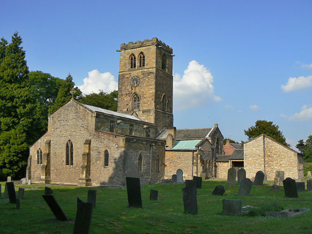
St George's Church, Barton in Fabis
St George's Church is a parish church in the Church of England in Barton in Fabis, Nottinghamshire. == History == The church is medieval and is a Grade...

Summerwood Lane tram stop
Summerwood Lane is a tram stop on the Nottingham Express Transit (NET) network in the city of Nottingham suburb of Clifton. It is situated on street track...
Clifton Hall Girls' Grammar School
Clifton Hall Girls' Grammar School was a girls grammar school at Clifton Hall, in Clifton, Nottingham. == History == There were two buildings: the old...
St Mary's Church, Clifton
St Mary's Church is a parish church in the Church of England in Clifton, Nottinghamshire. The church is Grade I listed by the Department for Digital, Culture...
Manor of Clifton
The Manor of Clifton was a historic manor situated near the City of Nottingham, England. The manor house, known as Clifton Hall is situated on the right...

St Mary's Church, Attenborough
St. Mary's Church, Attenborough is a parish church in the Church of England in the village of Attenborough, Nottinghamshire. The church is Grade I listed...
Nearby Amenities
Located within 500m of 52.895929,-1.2097012Have you been to Brands Hill?
Leave your review of Brands Hill below (or comments, questions and feedback).