Applepie Hill
Hill, Mountain in Berkshire
England
Applepie Hill

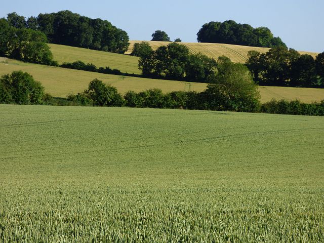
Applepie Hill is a prominent geographic feature located in Berkshire County, Massachusetts, in the northeastern United States. This hill is part of the larger Berkshire Mountain range, which stretches across several states in the region. Rising to an elevation of approximately 1,200 feet (366 meters), Applepie Hill offers stunning panoramic views of the surrounding countryside.
The hill derives its unique and somewhat quirky name from a local legend that dates back to the colonial era. According to folklore, a group of settlers once stumbled upon a grove of wild apple trees atop the hill and decided to bake a pie with the fruit they found. As the story goes, the resulting apple pie was so delicious that it became a local legend, and the hill was subsequently named Applepie Hill.
Today, Applepie Hill attracts both locals and tourists who come to enjoy its picturesque beauty and the recreational opportunities it offers. The hill is a popular destination for hiking enthusiasts, offering a variety of trails that cater to all skill levels. Visitors can explore the dense forests that blanket the hill, taking in the vibrant colors of the foliage during the autumn months.
Nature lovers will also appreciate the diverse wildlife that calls Applepie Hill home. The area is home to numerous bird species, including hawks and owls, making it a haven for birdwatchers. Small mammals such as rabbits and squirrels can also be spotted darting through the underbrush.
Overall, Applepie Hill is a cherished natural landmark in Berkshire County, offering visitors a chance to immerse themselves in the region's natural beauty and experience a slice of local history.
If you have any feedback on the listing, please let us know in the comments section below.
Applepie Hill Images
Images are sourced within 2km of 51.513526/-1.2340181 or Grid Reference SU5379. Thanks to Geograph Open Source API. All images are credited.


Applepie Hill is located at Grid Ref: SU5379 (Lat: 51.513526, Lng: -1.2340181)
Unitary Authority: West Berkshire
Police Authority: Thames Valley
What 3 Words
///shameless.prettiest.zest. Near Compton, Berkshire
Nearby Locations
Related Wikis
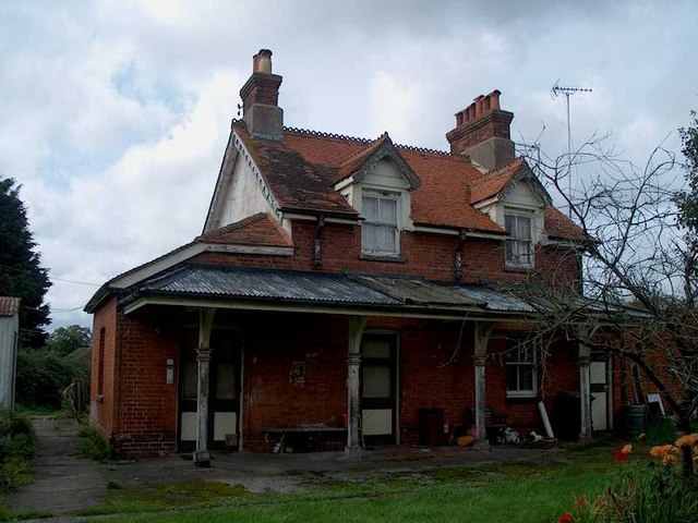
Compton railway station
Compton railway station was a station on the Didcot, Newbury and Southampton Railway in England. Compton was the largest station between Newbury, Berkshire...
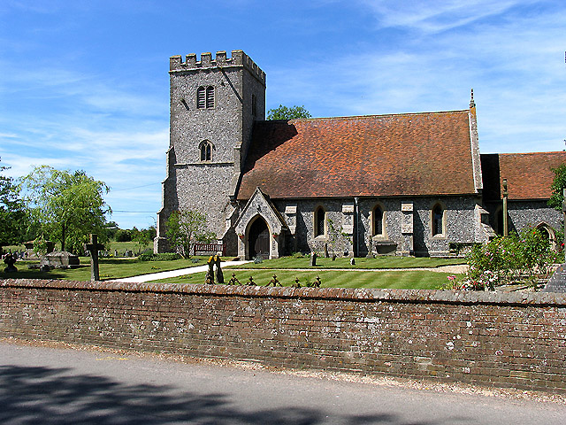
Compton, Berkshire
Compton is a village and civil parish in the River Pang valley in the Berkshire Downs about 6 miles (9.7 km) south of Didcot. == Geography == Compton is...

The Downs School, Compton
The Downs School is a comprehensive secondary school in the village of Compton, Berkshire, England. It is a state school run by West Berkshire Education...

East Ilsley
East Ilsley is a village and civil parish in the Berkshire Downs in West Berkshire, north of Newbury. The village is centred immediately east of the A34...

Battle of Ashdown
The Battle of Ashdown was a West Saxon victory over a Danish Viking army on about 8 January 871. The location of Ashdown is not known, but may be Kingstanding...

Perborough Castle
Perborough Castle is the site of an Iron Age univallate hillfort located at Compton in Berkshire. The site covers approximately 14 acres (5.7 ha), and...
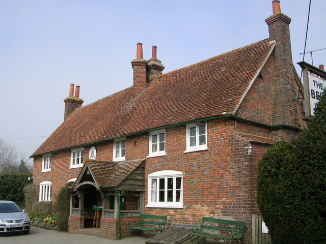
The Bell Inn, Aldworth
The Bell Inn is a pub at the village of Aldworth, in the English county of West Berkshire. It won CAMRA's National Pub of the Year in 1990, and received...

Aldworth
Aldworth is a village and mainly farmland civil parish in the English county of Berkshire, near the boundary with Oxfordshire. == Orthography and slight... ==
Nearby Amenities
Located within 500m of 51.513526,-1.2340181Have you been to Applepie Hill?
Leave your review of Applepie Hill below (or comments, questions and feedback).