Churn Hill
Hill, Mountain in Berkshire Vale of White Horse
England
Churn Hill

Churn Hill is located in Berkshire, England, and is considered a part of the Berkshire Downs range. It is a prominent hill that rises to an elevation of approximately 243 meters (797 feet) above sea level. The hill is situated in the southern part of the county, near the town of Wantage.
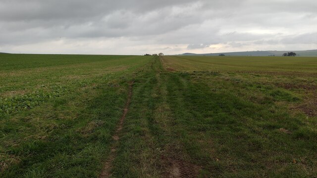
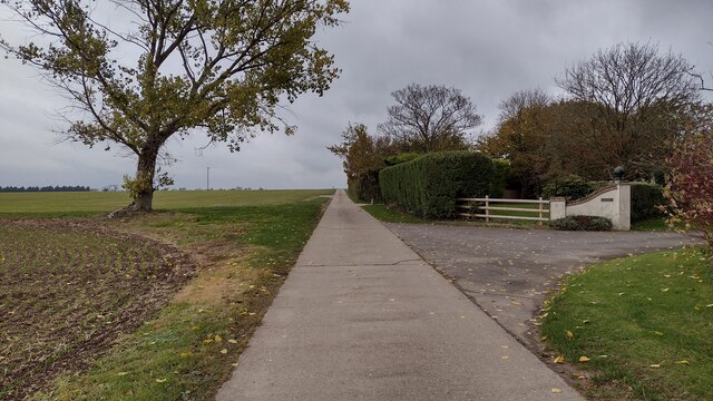
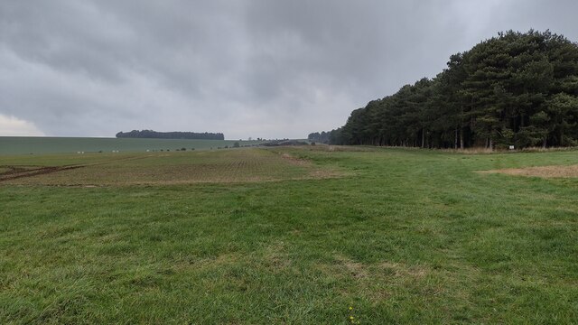
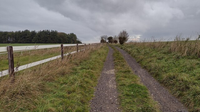
Churn Hill is known for its picturesque and scenic views, offering visitors breathtaking vistas of the surrounding countryside. The hill is covered in lush green vegetation, with patches of woodland and open fields, creating a diverse and vibrant landscape.
The area around Churn Hill is popular for outdoor activities such as hiking and walking, attracting both locals and tourists alike. There are several well-marked trails that lead to the summit, providing visitors with the opportunity to explore the natural beauty of the hill and its surroundings.
In addition to its natural beauty, Churn Hill also holds historical significance. The hill is believed to have been inhabited by humans for thousands of years, with evidence of ancient settlements and burial mounds found in the area. These archaeological remains provide insights into the rich history and cultural heritage of the region.
Overall, Churn Hill in Berkshire offers a combination of natural beauty, recreational opportunities, and historical significance. Whether it is exploring the hill's scenic trails, admiring the panoramic views, or learning about its ancient past, Churn Hill provides a captivating experience for all who visit.
If you have any feedback on the listing, please let us know in the comments section below.
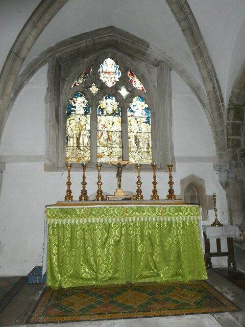
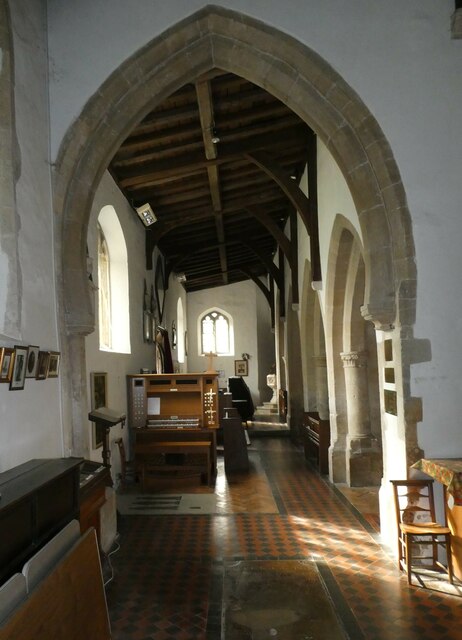
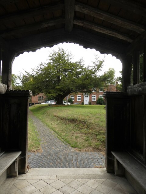
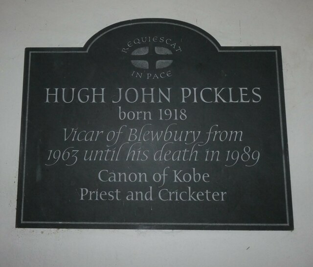
Churn Hill Images
Images are sourced within 2km of 51.556852/-1.2473402 or Grid Reference SU5284. Thanks to Geograph Open Source API. All images are credited.


Churn Hill is located at Grid Ref: SU5284 (Lat: 51.556852, Lng: -1.2473402)
Administrative County: Oxfordshire
District: Vale of White Horse
Police Authority: Thames Valley
What 3 Words
///responded.handlebar.equipment. Near Blewbury, Oxfordshire
Nearby Locations
Related Wikis

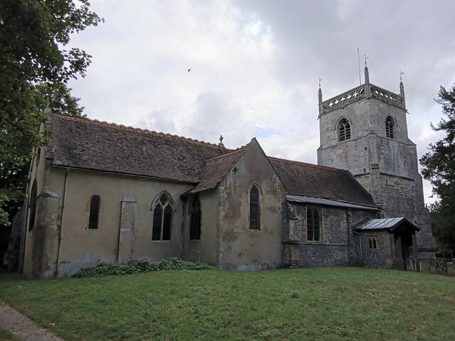
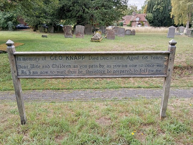
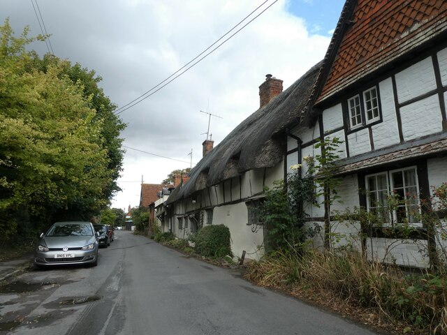
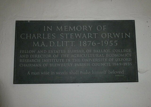
Blewbury
Blewbury is a village and civil parish at the foot of the Berkshire Downs section of the North Wessex Downs about 4 miles (6.4 km) south of Didcot, 14...
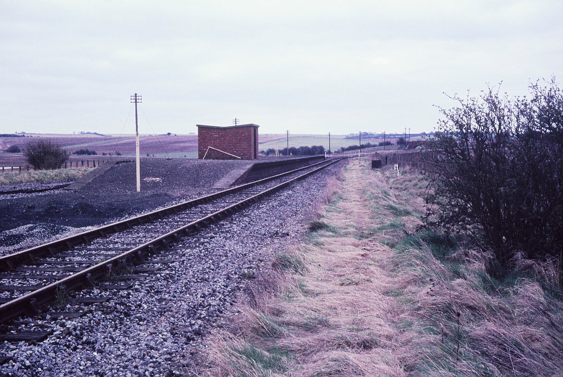
Churn railway station
Churn railway station was a station on the Didcot, Newbury and Southampton Railway in England. It served Churn Down, a remote part of the Berkshire Downs...

Aston Upthorpe Downs
Aston Upthorpe Downs is a 38.5-hectare (95-acre) biological Site of Special Scientific Interest south of Aston Upthorpe in Oxfordshire. It is a Nature...
Upton, Vale of White Horse
Upton is a spring line village and civil parish at the foot of the Berkshire Downs, about 2 miles (3 km) south of Didcot in the Vale of the White Horse...

Upton and Blewbury railway station
Upton and Blewbury railway station was a station on the Didcot, Newbury and Southampton Railway in England. It served Upton, with Blewbury and West Hagbourne...

Blewburton Hill
Blewburton Hill is the site of an Iron Age hillfort located in Oxfordshire, in the southeast of England. It was a univallate hillfort (with a single rampart...

West Hagbourne
West Hagbourne is a village and civil parish in the Berkshire Downs about 2 miles (3 km) south of Didcot. The 2011 Census recorded a parish population...

Chilton, Oxfordshire
Chilton is a village and civil parish in the Vale of White Horse about 3+1⁄2 miles (6 km) southwest of Didcot. The parish was part of Berkshire until the...
Nearby Amenities
Located within 500m of 51.556852,-1.2473402Have you been to Churn Hill?
Leave your review of Churn Hill below (or comments, questions and feedback).