Lid's Bottom
Valley in Berkshire Vale of White Horse
England
Lid's Bottom
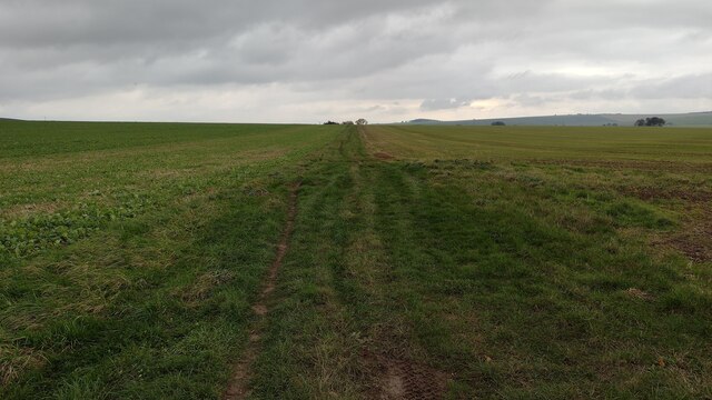
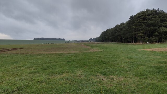
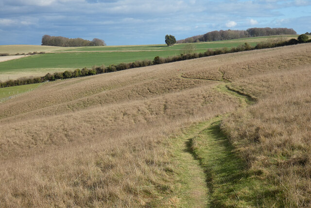
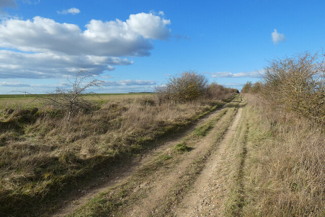
Lid's Bottom is a picturesque valley located in Berkshire, England. Situated in the southern part of the county, it is known for its scenic beauty and tranquil atmosphere. The valley is nestled between rolling hills and dense woodlands, offering a peaceful retreat away from the hustle and bustle of city life.
The name "Lid's Bottom" is derived from the Old English words "hlid" meaning "slope" and "botm" meaning "valley," accurately describing the geographical features of the area. The valley is characterized by its gentle slopes and lush green meadows, making it an ideal spot for nature enthusiasts and hikers.
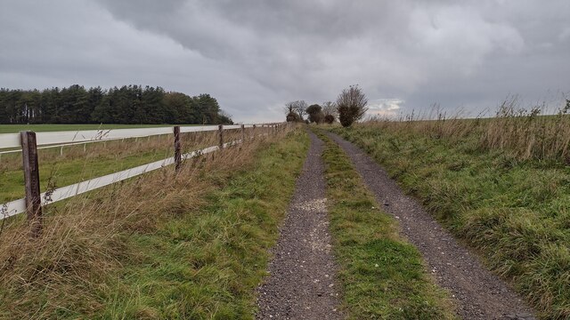
One of the prominent features of Lid's Bottom is the Lid Brook, a small river that meanders through the valley. The brook adds to the charm of the landscape, providing a soothing ambiance with its gentle babbling and the occasional sight of wildlife drinking from its banks.
The valley is also home to a variety of flora and fauna, including wildflowers, birds, and small mammals. Visitors to Lid's Bottom can enjoy leisurely walks along the numerous trails, taking in the sights and sounds of the natural surroundings.
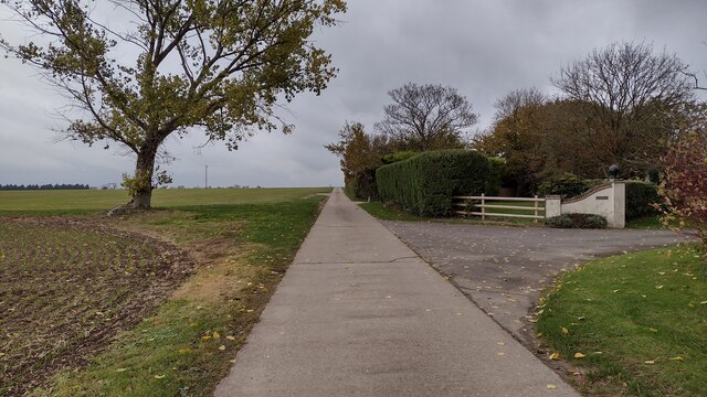
Although Lid's Bottom is mainly a rural area, it is conveniently located within close proximity to nearby villages and towns. This allows visitors to easily access amenities such as accommodation, restaurants, and shops, while still being able to enjoy the peacefulness of the valley.
Overall, Lid's Bottom in Berkshire is a hidden gem for those seeking tranquility and natural beauty. Its idyllic setting and serene atmosphere make it a perfect destination for a relaxing getaway or a day trip into nature.
If you have any feedback on the listing, please let us know in the comments section below.
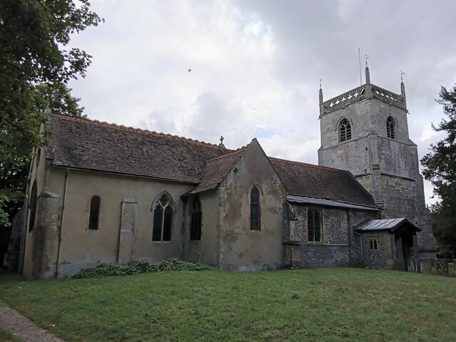
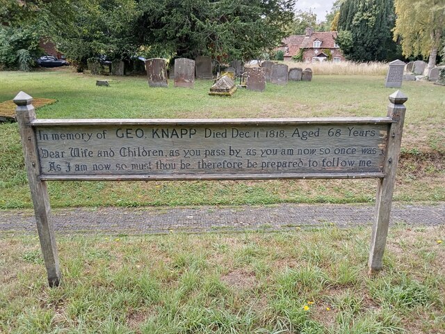
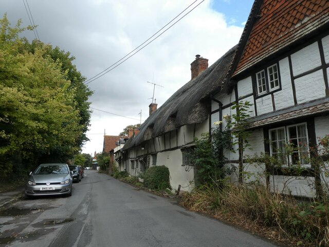
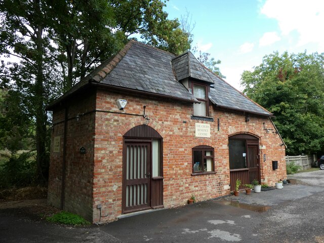
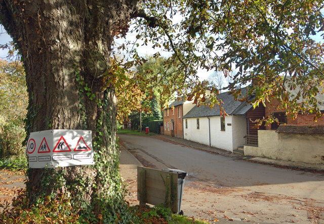
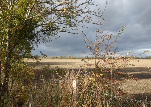
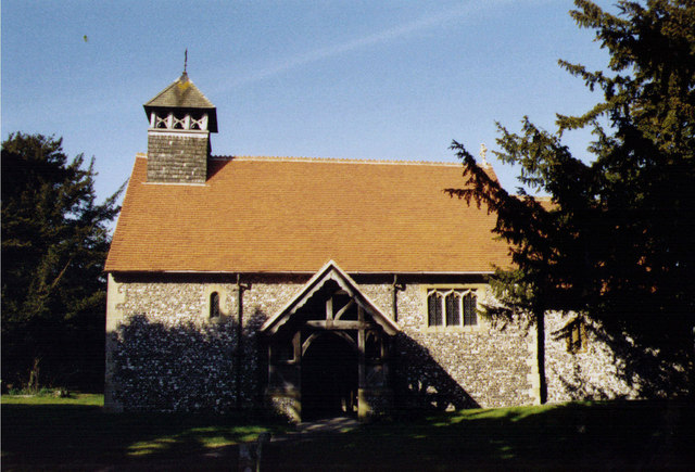
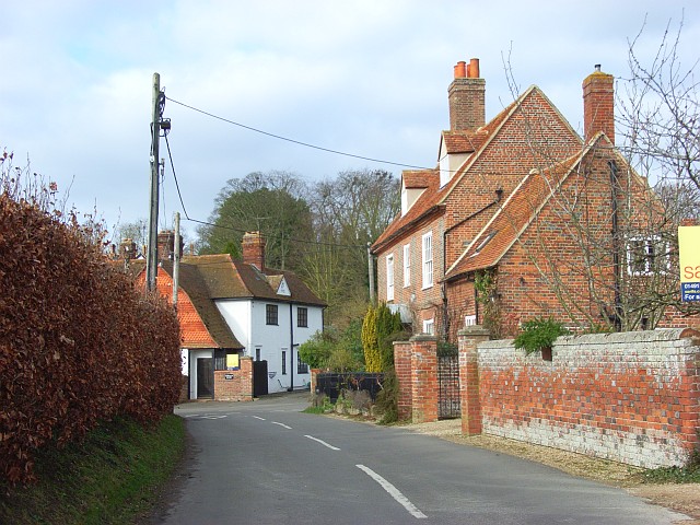
Lid's Bottom Images
Images are sourced within 2km of 51.561005/-1.2373612 or Grid Reference SU5284. Thanks to Geograph Open Source API. All images are credited.
Lid's Bottom is located at Grid Ref: SU5284 (Lat: 51.561005, Lng: -1.2373612)
Administrative County: Oxfordshire
District: Vale of White Horse
Police Authority: Thames Valley
What 3 Words
///hinted.rainy.betraying. Near Blewbury, Oxfordshire
Nearby Locations
Related Wikis

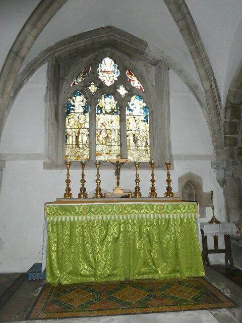
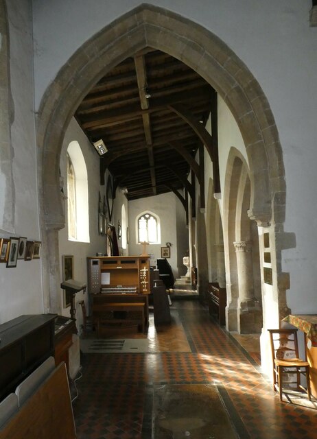
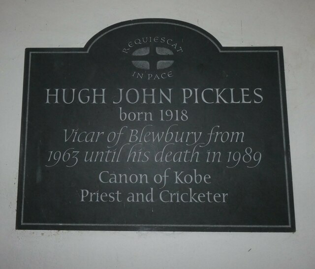
Blewbury
Blewbury is a village and civil parish at the foot of the Berkshire Downs section of the North Wessex Downs about 4 miles (6.4 km) south of Didcot, 14...

Aston Upthorpe Downs
Aston Upthorpe Downs is a 38.5-hectare (95-acre) biological Site of Special Scientific Interest south of Aston Upthorpe in Oxfordshire. It is a Nature...

Blewburton Hill
Blewburton Hill is the site of an Iron Age hillfort located in Oxfordshire, in the southeast of England. It was a univallate hillfort (with a single rampart...
Upton, Vale of White Horse
Upton is a spring line village and civil parish at the foot of the Berkshire Downs, about 2 miles (3 km) south of Didcot in the Vale of the White Horse...
Aston Upthorpe
Aston Upthorpe is a village and civil parish about 3 miles (5 km) southeast of Didcot in South Oxfordshire. It was part of Berkshire until the 1974 boundary...

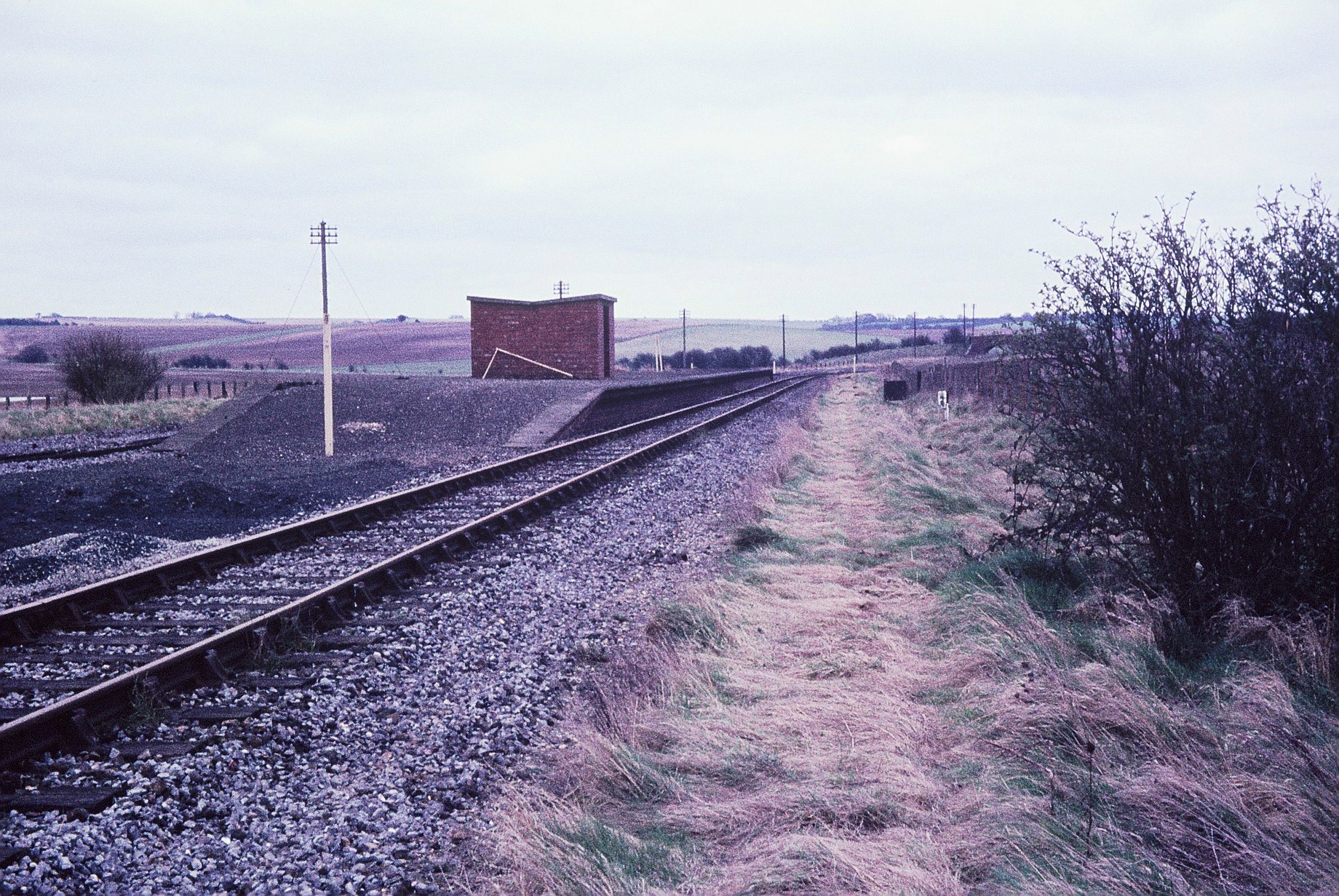
Upton and Blewbury railway station
Upton and Blewbury railway station was a station on the Didcot, Newbury and Southampton Railway in England. It served Upton, with Blewbury and West Hagbourne...
Churn railway station
Churn railway station was a station on the Didcot, Newbury and Southampton Railway in England. It served Churn Down, a remote part of the Berkshire Downs...

Aston Tirrold
Aston Tirrold is a village and civil parish at the foot of the Berkshire Downs about 3 miles (5 km) southeast of Didcot. It was part of Berkshire until...
Nearby Amenities
Located within 500m of 51.561005,-1.2373612Have you been to Lid's Bottom?
Leave your review of Lid's Bottom below (or comments, questions and feedback).