Beacon Hill
Hill, Mountain in Nottinghamshire Ashfield
England
Beacon Hill
Beacon Hill is a prominent hill located in Nottinghamshire, England. Sitting at an elevation of 259 meters (850 feet) above sea level, it is one of the highest points in the county. The hill is part of the National Forest and is surrounded by a beautiful landscape of rolling hills and woodlands.
The name "Beacon Hill" refers to the historical use of the location as a site for warning beacons. In times of conflict or impending danger, fires would be lit on the hilltop to alert nearby settlements. This strategic position made Beacon Hill an important communication point throughout history.
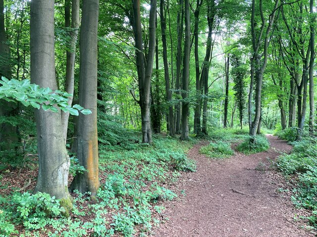
Today, Beacon Hill is a popular destination for outdoor enthusiasts and nature lovers. The hill is home to Beacon Hill Country Park, which covers an area of approximately 135 hectares (330 acres). The park offers a range of recreational activities, including walking trails, cycling paths, and picnic spots. There is also a visitor center that provides information about the local flora, fauna, and history of the area.
The summit of Beacon Hill offers panoramic views of the surrounding countryside, providing visitors with a breathtaking vantage point. On a clear day, it is possible to see as far as the city of Nottingham and even the distant Peak District.
Overall, Beacon Hill is a picturesque and historically significant landmark in Nottinghamshire. Its natural beauty, recreational opportunities, and historical significance make it a popular destination for both locals and tourists alike.
If you have any feedback on the listing, please let us know in the comments section below.
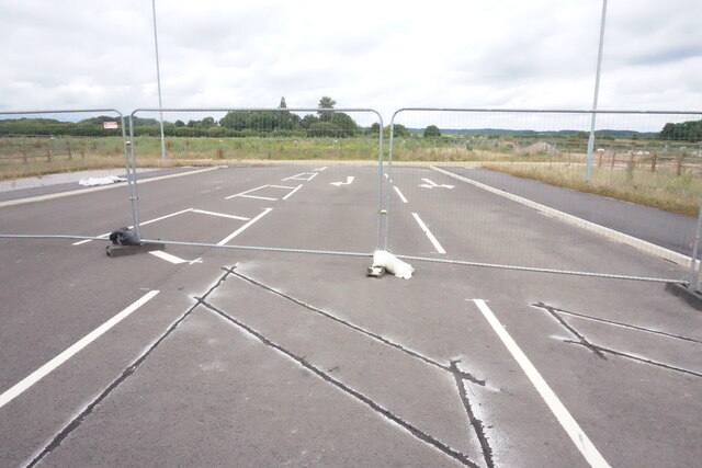
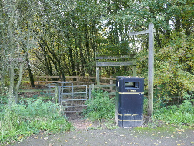
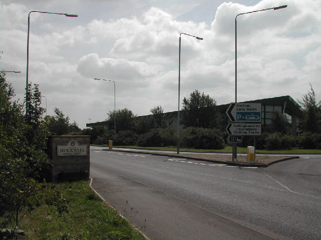
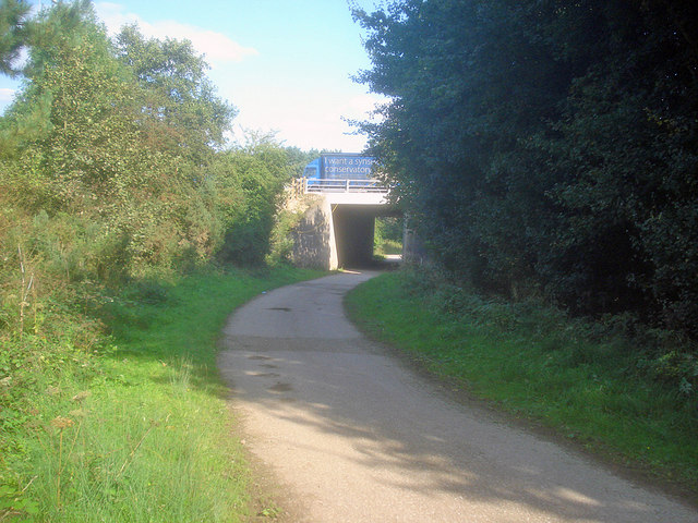
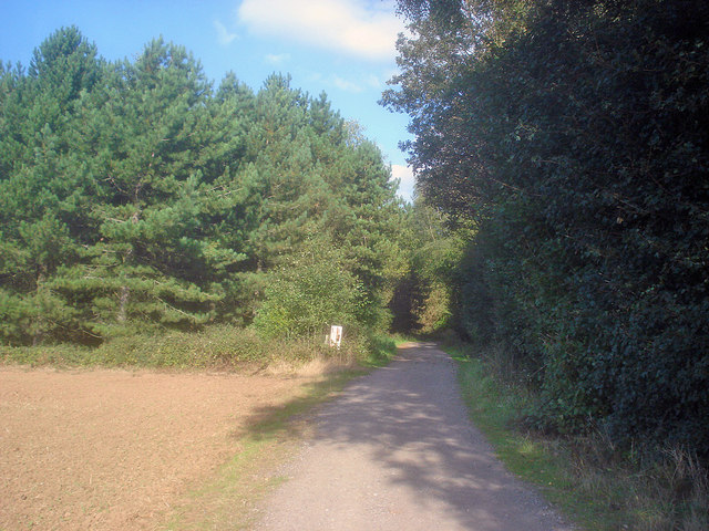
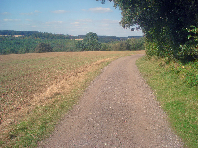
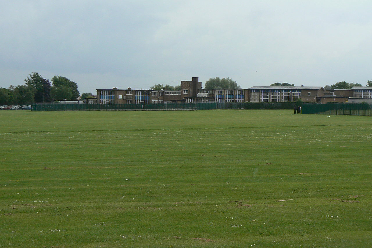
Beacon Hill Images
Images are sourced within 2km of 53.036447/-1.2350677 or Grid Reference SK5149. Thanks to Geograph Open Source API. All images are credited.


Beacon Hill is located at Grid Ref: SK5149 (Lat: 53.036447, Lng: -1.2350677)
Administrative County: Nottinghamshire
District: Ashfield
Police Authority: Nottinghamshire
What 3 Words
///shuts.hooks.thin. Near Hucknall, Nottinghamshire
Nearby Locations
Related Wikis
The Holgate Academy
The Holgate Academy (formerly Holgate School) is a coeducational secondary school and sixth form with academy status, located in Hucknall, Nottinghamshire...

Church of St Peter and St Paul, Hucknall
The Church of St Peter and St Paul, Hucknall is a parish church in the Church of England in the Westville suburb of Hucknall, Nottinghamshire. == History... ==
Westville, Nottinghamshire
Westville is a residential area to the west of Hucknall. It is approximately eight miles north-west of Nottingham, England. It has many new build houses...
The National Academy
The National Church of England Academy, formerly known as The National School, is a Church of England secondary school in the Ashfield district of Nottinghamshire...
Hucknall Town F.C.
Hucknall Town Football Club is a football club based in the town of Hucknall, Nottinghamshire, England. The club is a member of the United Counties League...
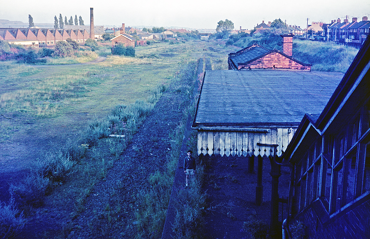
Hucknall Central railway station
Hucknall Central railway station, originally known as Hucknall Town, was a station in Hucknall on the Great Central Railway's main line from Manchester...

Church of St Mary Magdalene, Hucknall
The Church of St Mary Magdalene in Hucknall, Nottinghamshire, is a parish church in the Church of England dedicated to Jesus' companion Mary Magdalene...

Beauvale Priory
Beauvale Priory (also known as Beauvale Charterhouse) was a Carthusian monastery in Beauvale, Nottinghamshire. It is a scheduled ancient monument. ��2...
Nearby Amenities
Located within 500m of 53.036447,-1.2350677Have you been to Beacon Hill?
Leave your review of Beacon Hill below (or comments, questions and feedback).