Isle Hill
Hill, Mountain in Hampshire Basingstoke and Deane
England
Isle Hill
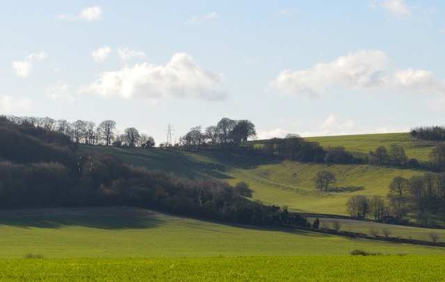
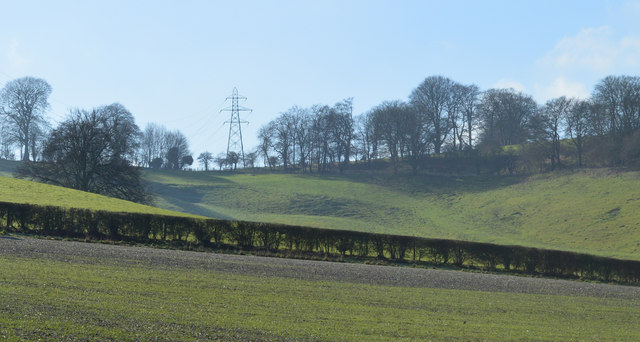
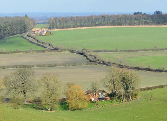
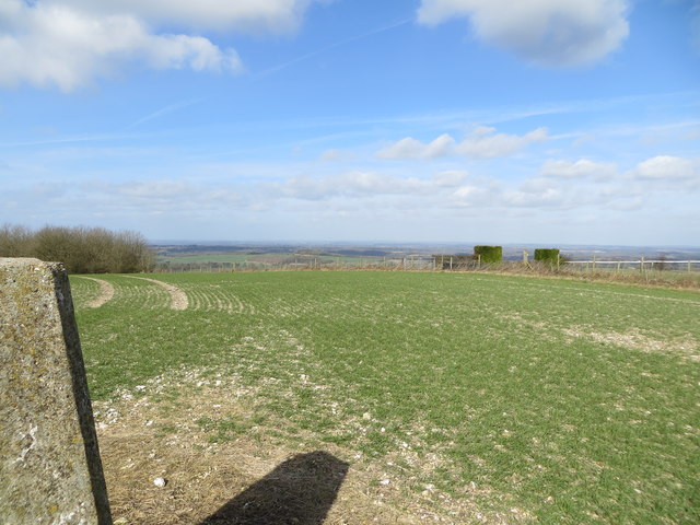
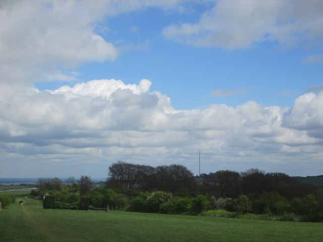
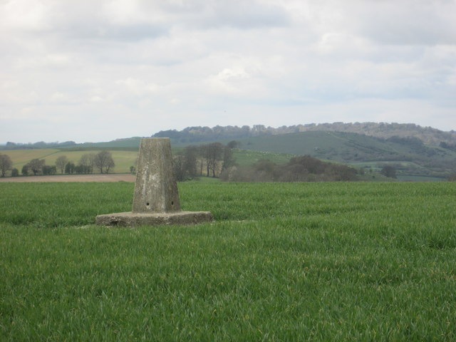
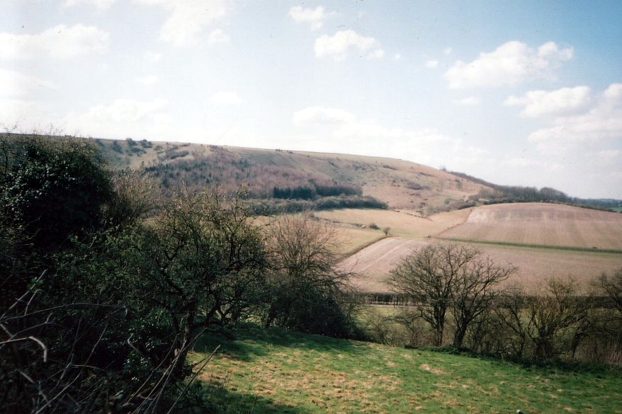
Isle Hill, located in Hampshire, England, is a prominent hill known for its picturesque beauty and historical significance. Rising to an elevation of 210 meters (689 feet), it is one of the highest points in the Hampshire Downs, offering breathtaking panoramic views of the surrounding countryside.
The hill derives its name from the Old English word "isla," meaning a mound or hill, indicating its geological prominence. Isle Hill is a part of the North Wessex Downs Area of Outstanding Natural Beauty, further enhancing its appeal to nature enthusiasts and hikers.
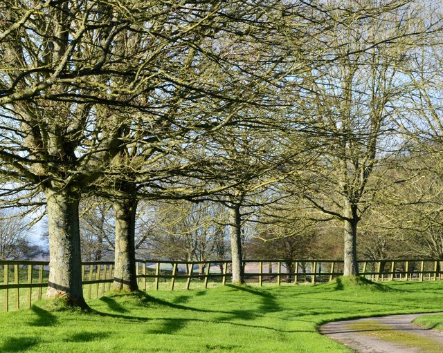
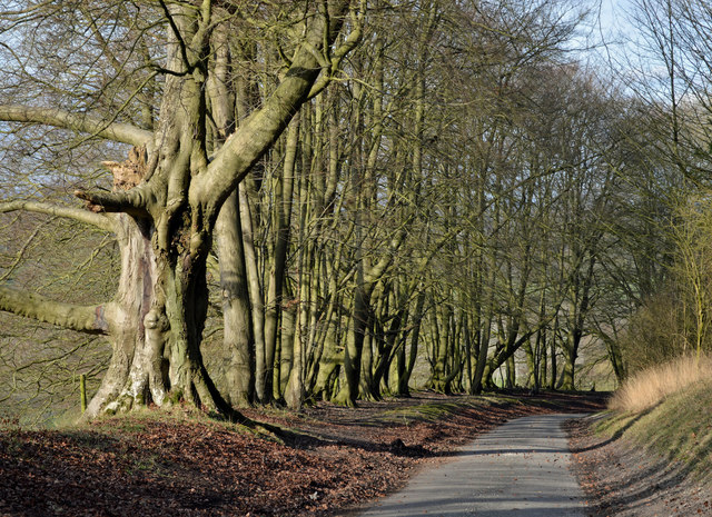
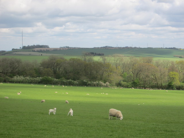
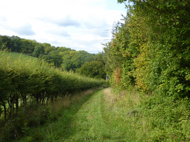
Covered in lush greenery, the hill is primarily composed of chalk, which has shaped its distinctive landscape over the centuries. It boasts a diverse array of flora and fauna, including rare orchids and butterflies, making it an important site for conservation.
Aside from its natural beauty, Isle Hill has a rich historical heritage. Archaeological evidence suggests that the area has been inhabited since the Neolithic period, with numerous burial mounds and ancient artifacts discovered in the vicinity. The hill also played a role during the Iron Age, serving as a strategic lookout point due to its commanding position.
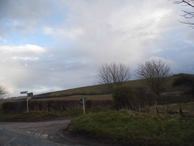
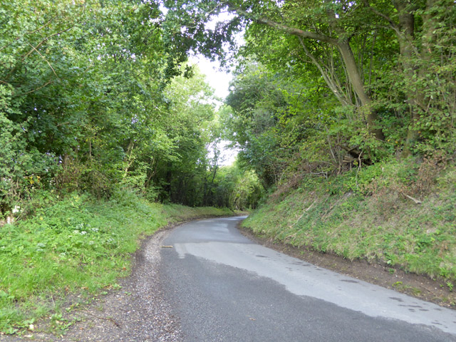
Today, Isle Hill is a popular destination for outdoor activities, including hiking, nature walks, and birdwatching. The surrounding countryside offers a network of well-maintained trails, allowing visitors to explore the hill's scenic surroundings. With its stunning views, rich history, and abundant natural beauty, Isle Hill is a must-visit destination for those seeking tranquility and a connection to Hampshire's heritage.
If you have any feedback on the listing, please let us know in the comments section below.
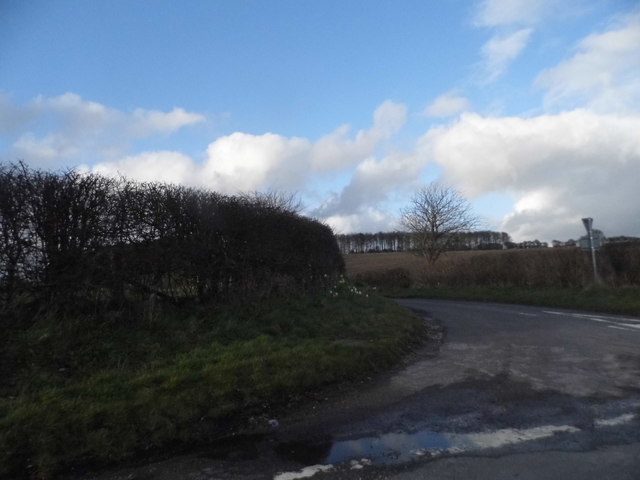
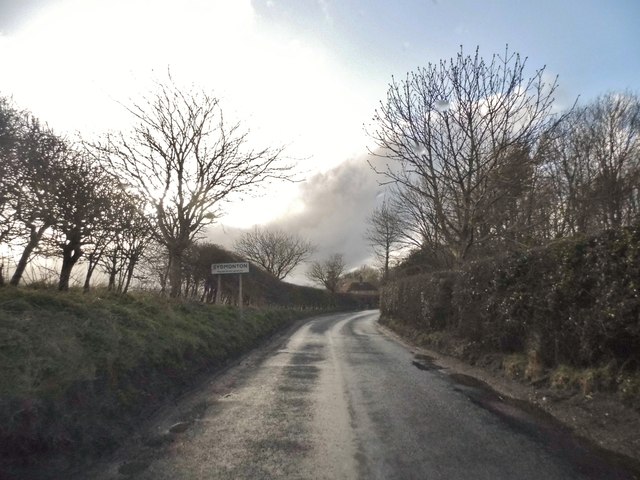
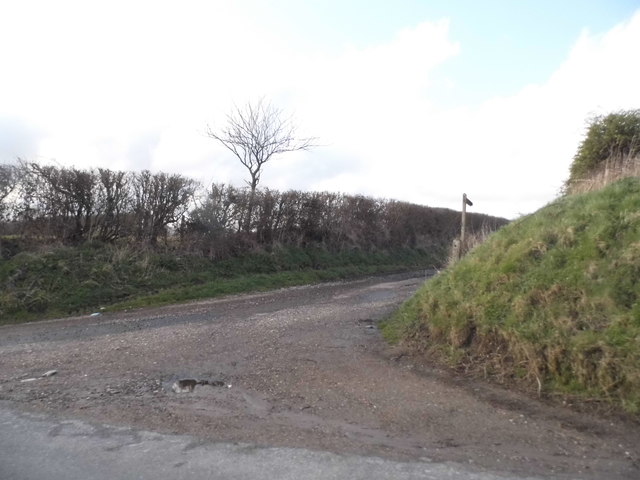
Isle Hill Images
Images are sourced within 2km of 51.319396/-1.2769319 or Grid Reference SU5058. Thanks to Geograph Open Source API. All images are credited.

Isle Hill is located at Grid Ref: SU5058 (Lat: 51.319396, Lng: -1.2769319)
Administrative County: Hampshire
District: Basingstoke and Deane
Police Authority: Hampshire
What 3 Words
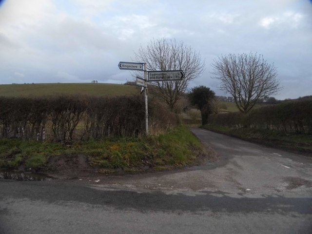
///admiringly.sleepers.rips. Near Kingsclere, Hampshire
Nearby Locations
Related Wikis
Watership Down, Hampshire
Watership Down is a hill or a down at Ecchinswell in the civil parish of Ecchinswell, Sydmonton and Bishops Green in the English county of Hampshire, as...

Sydmonton
Sydmonton is a small village, estate and former civil parish, now in the parish of Ecchinswell, Sydmonton and Bishops Green, in the Basingstoke and Deane...
Ecchinswell
Ecchinswell is a village and former civil parish, now in the parish of Ecchinswell, Sydmonton and Bishops Green, in the Basingstoke and Deane district...
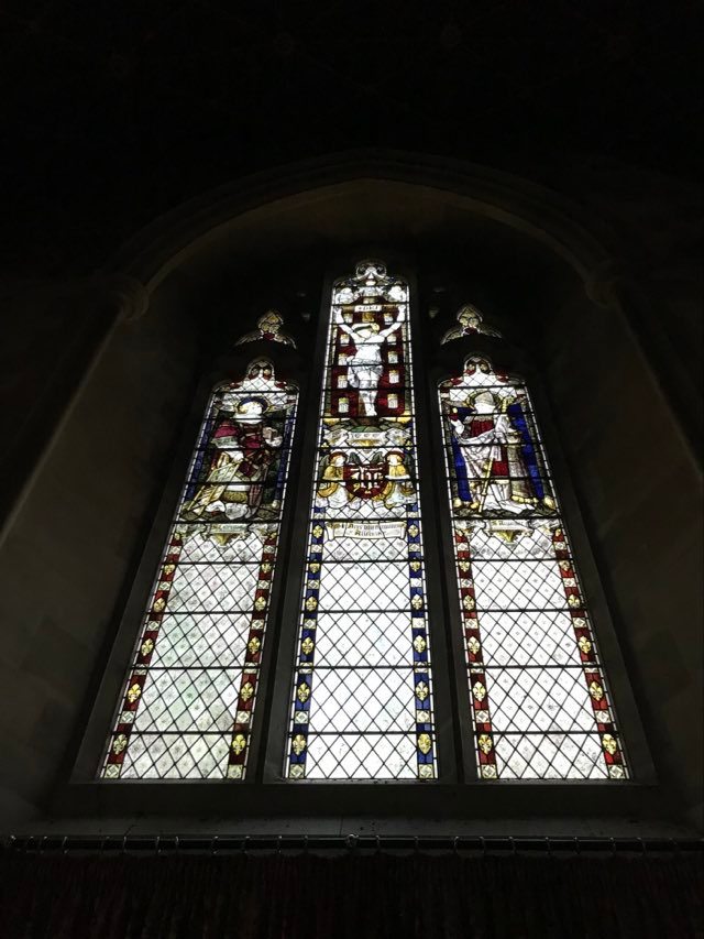
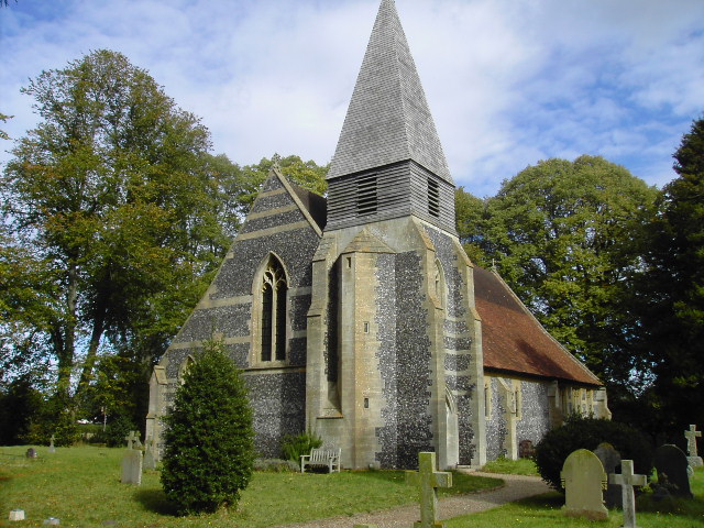
St Lawrence's Church, Ecchinswell
St Lawrence's Church (St Laurence) is a Grade II listed sacred edifice in Ecchinswell, Hampshire, England, in the rural deanery of Whitchurch, within the...

Sydmonton Court
Sydmonton Court is an English country house in Hampshire. Built and developed over the centuries, it is surrounded by a 5,000 acre estate, in the parish...

Kingsclere and Whitchurch Rural District
Kingsclere and Whitchurch Rural District was a rural district between 1932 and 1974 in Hampshire, England. The district was formed as a merger of the abolished...
Brock's Green
Brock's Green is a small village in the Basingstoke and Deane district of Hampshire, England. Its nearest town is Newbury, which lies approximately 4.7...

Kingsclere
Kingsclere is a large village and civil parish in Hampshire, England. == Geography == Kingsclere is approximately equidistant 13 kilometres (8.1 mi) from...
Nearby Amenities
Located within 500m of 51.319396,-1.2769319Have you been to Isle Hill?
Leave your review of Isle Hill below (or comments, questions and feedback).