Knowle Hill

Hill, Mountain in Hampshire Eastleigh

England

Knowle Hill

Durley church The church at Durley.
Durley church Credit: T Eyre

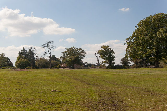
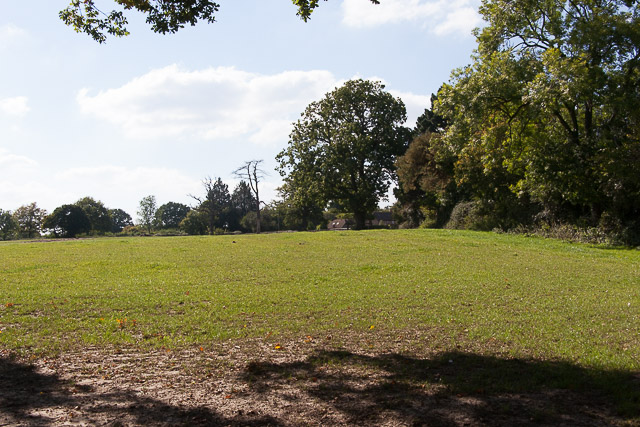
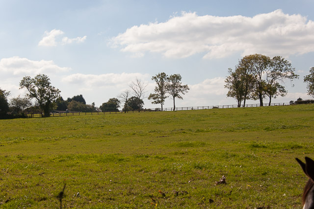
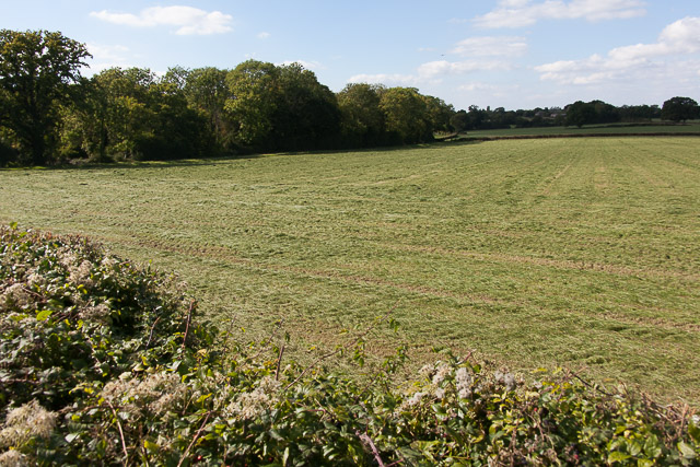
Knowle Hill is a prominent landmark located in Hampshire, England. It is classified as a hill rather than a mountain, with an elevation of approximately 224 meters (735 feet) above sea level. The hill is situated in the South Downs National Park, known for its picturesque landscapes and outstanding natural beauty.

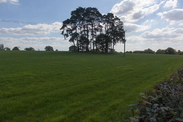
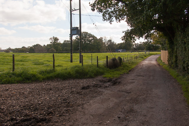
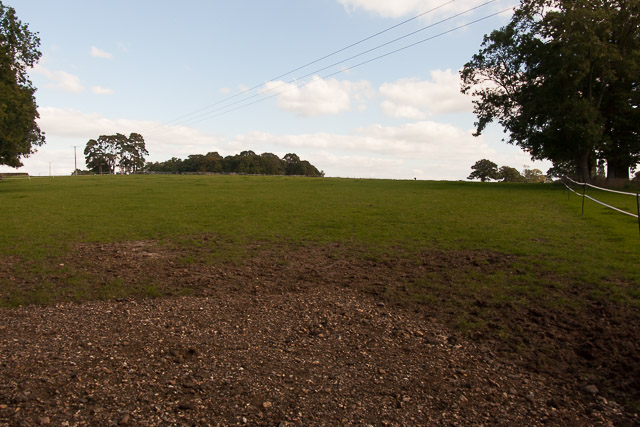
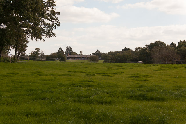
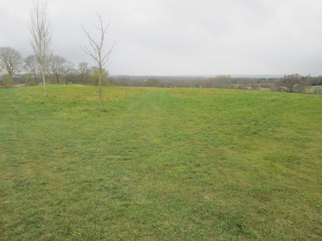
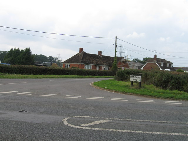
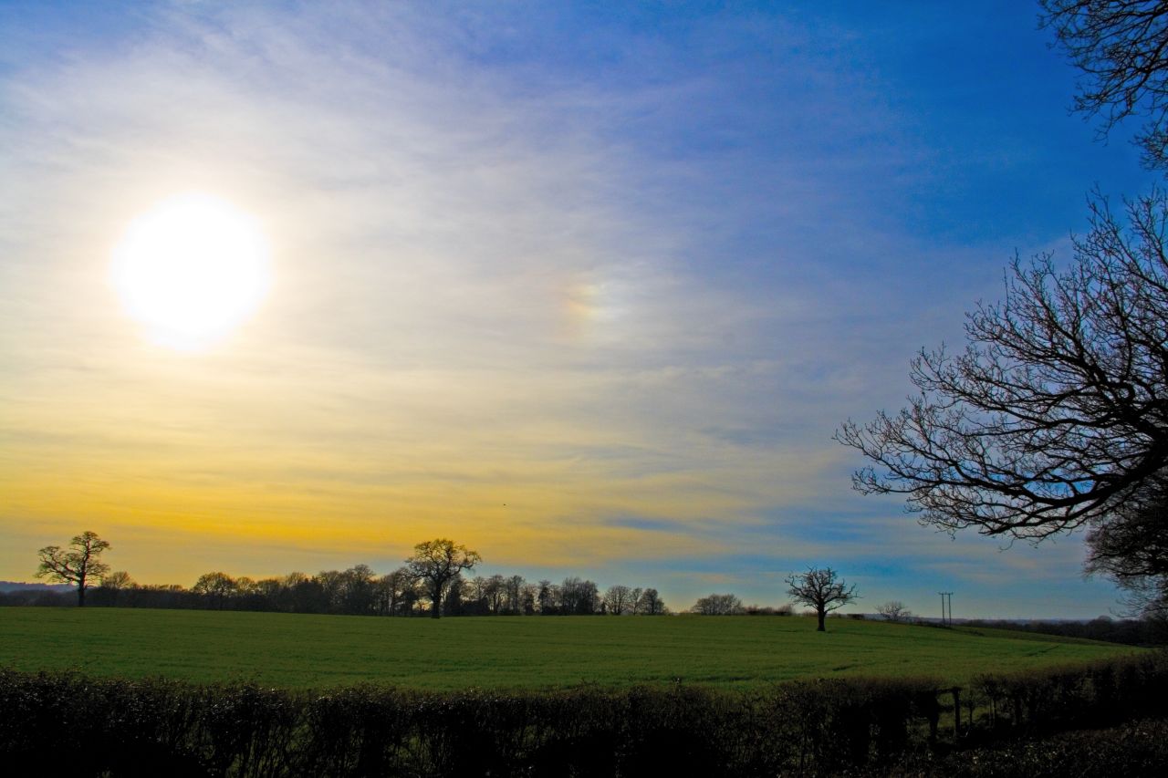
The hill is easily accessible, located just north of the village of Wickham, and offers breathtaking panoramic views of the surrounding countryside. The summit of Knowle Hill provides an ideal vantage point for visitors to admire the rolling hills, lush farmland, and quaint villages that dot the Hampshire landscape.

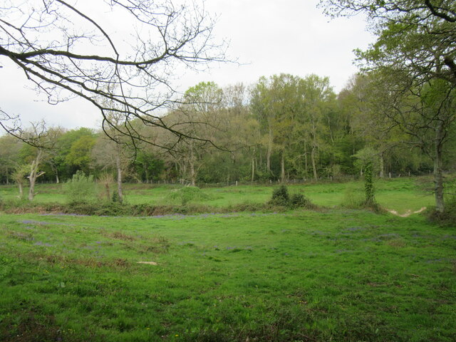
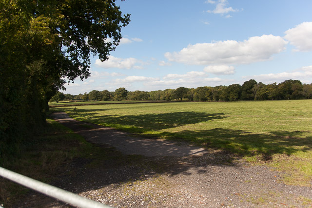
Knowle Hill is covered in a mixture of grassland and woodland, making it a haven for various plant and animal species. The area is particularly rich in birdlife, with many species of birds making their home on the hill. The hillside is also adorned with vibrant wildflowers during the spring and summer months, adding to its natural beauty.

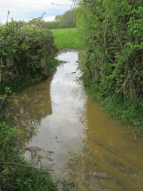
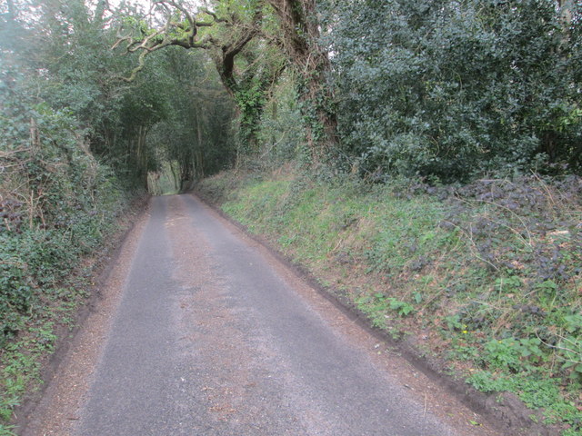
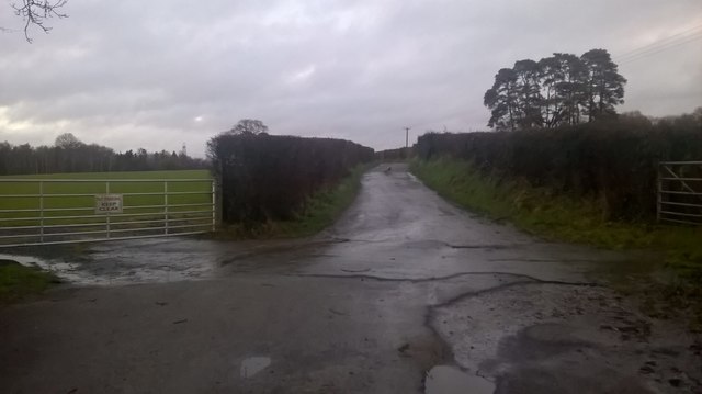
The hill is a popular destination for outdoor enthusiasts and nature lovers, offering numerous walking and hiking trails. These trails cater to both leisurely strolls and more challenging hikes, providing options for visitors of all fitness levels. The well-maintained paths lead visitors through the picturesque countryside, allowing them to explore the diverse flora and fauna that call Knowle Hill their home.

Overall, Knowle Hill in Hampshire is a stunning natural landmark that offers visitors the opportunity to immerse themselves in the beauty of the English countryside. Whether it's for a leisurely walk or a vigorous hike, Knowle Hill provides a memorable experience for all who visit.

If you have any feedback on the listing, please let us know in the comments section below.
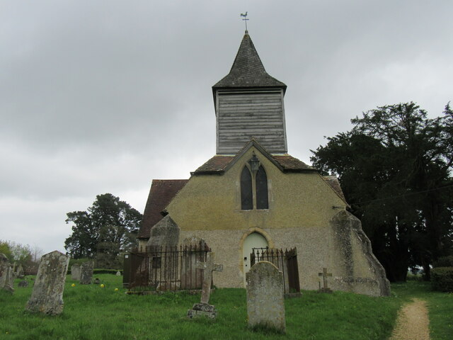
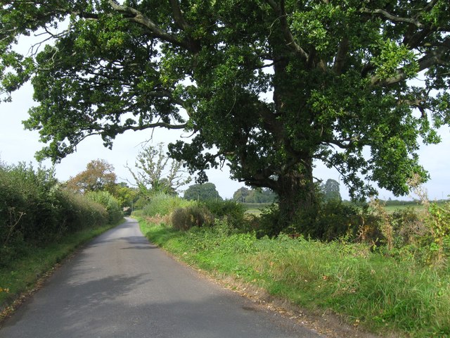
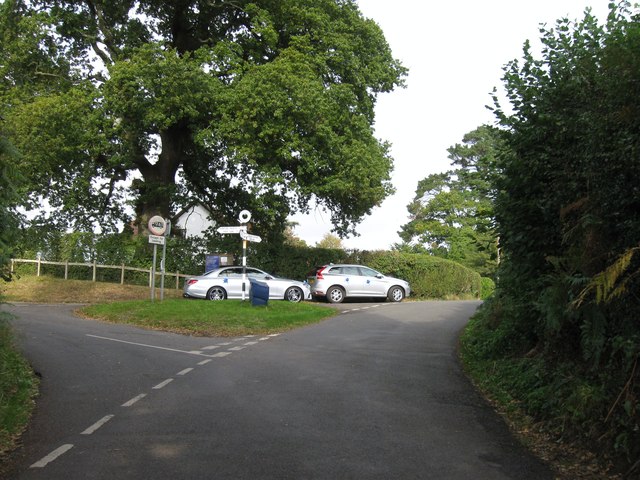
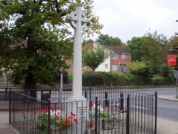
Knowle Hill Images

Images are sourced within 2km of 50.962447/-1.2863153 or Grid Reference SU5018. Thanks to Geograph Open Source API. All images are credited.

Durley church The church at Durley.
Durley church
The church at Durley.
Greenwood This woodland is called Greenwood.
Greenwood
This woodland is called Greenwood.
Impassable route This muddy puddle had thick hedges on both side, with no way around it. An alternative route had to be taken to get to Fair Oak.
Impassable route
This muddy puddle had thick hedges on both side, with no way around it. An alternative route had to be taken to get to Fair Oak.
Trees in field on Hall Lands Farm TEST TEXT PLEASE DO NOT AMEND. WILL BE REPLACED BY PROPER DESCRIPTION LATER.
lambda as numeric code λ and lambda as character ref λ also; lambda is not in windows-1252. dagger as numeric code † and dagger as character ref † also; dagger is in windows-1252 but not in iso-8859-1.
Trees in field on Hall Lands Farm
TEST TEXT PLEASE DO NOT AMEND. WILL BE REPLACED BY PROPER DESCRIPTION LATER. lambda as numeric code λ and lambda as character ref λ also; lambda is not in windows-1252. dagger as numeric code † and dagger as character ref † also; dagger is in windows-1252 but not in iso-8859-1.
Looking towards Pembers Hill Farm Seen from footpath. The Little Dower House is off-picture to the right of the big tree.
Looking towards Pembers Hill Farm
Seen from footpath. The Little Dower House is off-picture to the right of the big tree.
Looking towards The Little Dower House From footpath.
Looking towards The Little Dower House
From footpath.
Field south of Tippers Copse With barn of Pembers Hill Farm in distance. Seen from footpath.
Field south of Tippers Copse
With barn of Pembers Hill Farm in distance. Seen from footpath.
Field and Hall Lands Copse Seen from footpath over Hall Lands Lane.
Field and Hall Lands Copse
Seen from footpath over Hall Lands Lane.
Field north of Hall Lands Copse Seen from footpath over Hall Lands Lane
Field north of Hall Lands Copse
Seen from footpath over Hall Lands Lane
Hall Lands Lane As it passes Hall Lands House on the right.
Hall Lands Lane
As it passes Hall Lands House on the right.
Field east of Hall Lands House With Tippers Copse visible on the horizon.
Field east of Hall Lands House
With Tippers Copse visible on the horizon.
Field east of Hall Lands House With barn of Pembers Hill Farm in distance.
Field east of Hall Lands House
With barn of Pembers Hill Farm in distance.
Greenwood Lane Looking NE.
Greenwood Lane
Looking NE.
Golf Course The large golf course near Horton Heath.
Golf Course
The large golf course near Horton Heath.
Hall Lands Lane Looking NE
Hall Lands Lane
Looking NE
Stroudwood Lane
Stroudwood Lane
Church Lane
Church Lane
Road junction and finger post
Show me another place!

Knowle Hill is located at Grid Ref: SU5018 (Lat: 50.962447, Lng: -1.2863153)

Administrative County: Hampshire

District: Eastleigh

Police Authority: Hampshire

What 3 Words

///trapdoor.wicked.sadly. Near Bishopstoke, Hampshire

Related Wikis

Fair Oak Lodge

Fair Oak Lodge is a former country house in the village of Fair Oak, Hampshire. Much of the original estate has been built upon with modern housing, but...

Wyvern College, Eastleigh

Wyvern College is a [private education|coeducational]] secondary school with academy status for students in the villages of Fair Oak, Bishopstoke, Horton...

Fair Oak

Fair Oak is a large village to the east of the town of Eastleigh in Hampshire, England. Together with the village of Horton Heath, which lies to the south...

The King's School, Fair Oak

The King's School, on Allington Lane in Fair Oak, Hampshire, is an independent Christian faith school with 229 pupils As of 2023. The school was founded...

Horton Heath, Hampshire

Horton Heath is a semi-rural village which forms part of the civil parish of Fair Oak and Horton Heath in the borough of Eastleigh in Hampshire, England...

Borough of Eastleigh

The Borough of Eastleigh is a local government district with borough status in Hampshire, England. It is named after its main town of Eastleigh, where...

Wintershill

Wintershill is a hamlet in south Hampshire, England. == References == The geographic coordinates are from the Ordnance Survey.

Lower Upham

Lower Upham is a small village in Hampshire, England, situated north-west of Bishop's Waltham on the B2177. == Governance == The village is part of the...

Nearby Amenities

Located within 500m of 50.962447,-1.2863153
Knowle Hill
Ele: 60
Natural: peak
Lat/Long: 50.9621104/-1.2877631
Odbl: clean
Lat/Long: 50.9660016/-1.2872682
Odbl: clean
Lat/Long: 50.9659359/-1.2875359
Odbl: clean
Lat/Long: 50.965861/-1.2890827
Odbl: clean
Lat/Long: 50.9659219/-1.2887696
Odbl: clean
Lat/Long: 50.965948/-1.2886044
Odbl: clean
Lat/Long: 50.9659943/-1.2884247
Bus Stop
Hall Lands Lane
Naptan AtcoCode: 1900HA030285
Naptan Bearing: E
Naptan CommonName: Hall Lands Lane
Naptan Crossing: Pembers Close
Naptan NaptanCode: hamdjptj
Naptan Street: Mortimers Lane
Naptan Verified: no
Source: naptan_import
Lat/Long: 50.9652702/-1.2918285
Bus Stop
Hall Lands Lane
Naptan AtcoCode: 1900HA030286
Naptan Bearing: W
Naptan CommonName: Hall Lands Lane
Naptan Crossing: Pembers Close
Naptan NaptanCode: hamdjptp
Naptan Street: Mortimers Lane
Naptan Verified: no
Source: naptan_import
Lat/Long: 50.965171/-1.2917731
Bus Stop
Bradshaw Close
Naptan AtcoCode: 1900HA030287
Naptan Bearing: E
Naptan CommonName: Bradshaw Close
Naptan Crossing: Cedar Wood Close
Naptan NaptanCode: hamdjtmp
Naptan Street: Mortimers Lane
Naptan Verified: no
Source: naptan_import
Lat/Long: 50.9662477/-1.2869432
Bus Stop
Bradshaw Close
Naptan AtcoCode: 1900HA030288
Naptan Bearing: W
Naptan CommonName: Bradshaw Close
Naptan Crossing: Bradshaw Close
Naptan NaptanCode: hamdjtmw
Naptan Street: Mortimers Lane
Naptan Verified: no
Source: naptan_import
Lat/Long: 50.9662109/-1.2868156
Knowle Hill Farm
Landuse: farm
Note Retag: CS #48756035
Residence: farm
Source: OS OpenData StreetView
Lat/Long: 50.9594106/-1.2853423
Turning Circle
Lat/Long: 50.9646837/-1.2922976
Turning Circle
Source: Bing
Lat/Long: 50.9648358/-1.2895718
Information: board
Tourism: information
Lat/Long: 50.9658043/-1.2836946
Man Made: survey_point
Note: trig point has been moved from original position (in real life not in osm!)
Tourism: viewpoint
Lat/Long: 50.961149/-1.2891945
Post Box
Collection Plate: CP1
Collection Times: Mo-Fr 16:00; Sa 08:30
Operator: Royal Mail
Post Box Type: wall
Ref: SO50 314
Royal Cypher: GVIR
Royal Cypher Wikidata: Q33102169
Lat/Long: 50.9665573/-1.2851906
Communication Television: yes
Man Made: mast
Tower Construction: dish
Tower Type: communication
Lat/Long: 50.9639945/-1.282554
Communication Television: yes
Man Made: mast
Tower Construction: dish
Tower Type: communication
Lat/Long: 50.9640533/-1.2824232
Communication Television: yes
Man Made: mast
Tower Construction: dish
Tower Type: communication
Lat/Long: 50.9634827/-1.2827641
Communication Television: yes
Man Made: mast
Tower Construction: dish
Tower Type: communication
Lat/Long: 50.9635945/-1.2825073
Communication Television: yes
Man Made: mast
Tower Construction: dish
Tower Type: communication
Lat/Long: 50.9636651/-1.2823298
Generator Method: photovoltaic
Generator Output Electricity: yes
Generator Source: solar
Generator Type: solar_photovoltaic_panel
Location: roof
Power: generator
Lat/Long: 50.9628023/-1.2897912
Generator Method: photovoltaic
Generator Output Electricity: yes
Generator Source: solar
Generator Type: solar_photovoltaic_panel
Location: roof
Power: generator
Lat/Long: 50.9635185/-1.2903142
Generator Method: photovoltaic
Generator Output Electricity: yes
Generator Source: solar
Generator Type: solar_photovoltaic_panel
Location: roof
Power: generator
Lat/Long: 50.9628141/-1.2921757
Generator Method: photovoltaic
Generator Output Electricity: yes
Generator Source: solar
Generator Type: solar_photovoltaic_panel
Location: roof
Power: generator
Lat/Long: 50.9628006/-1.2923339
Generator Method: photovoltaic
Generator Output Electricity: yes
Generator Source: solar
Generator Type: solar_photovoltaic_panel
Location: roof
Power: generator
Lat/Long: 50.9630675/-1.293101
Generator Method: photovoltaic
Generator Output Electricity: yes
Generator Source: solar
Generator Type: solar_photovoltaic_panel
Location: roof
Power: generator
Lat/Long: 50.9630641/-1.2932807
Generator Method: photovoltaic
Generator Output Electricity: yes
Generator Source: solar
Generator Type: solar_photovoltaic_panel
Location: roof
Power: generator
Lat/Long: 50.9636638/-1.2893835
Generator Method: photovoltaic
Generator Output Electricity: yes
Generator Source: solar
Generator Type: solar_photovoltaic_panel
Location: roof
Power: generator
Lat/Long: 50.9641537/-1.2892789
Generator Method: photovoltaic
Generator Output Electricity: yes
Generator Source: solar
Generator Type: solar_photovoltaic_panel
Location: roof
Power: generator
Lat/Long: 50.9659781/-1.2890911
Generator Method: photovoltaic
Generator Output Electricity: yes
Generator Source: solar
Generator Type: solar_photovoltaic_panel
Location: roof
Power: generator
Lat/Long: 50.9662838/-1.287801
Generator Method: photovoltaic
Generator Output Electricity: yes
Generator Source: solar
Generator Type: solar_photovoltaic_panel
Location: roof
Power: generator
Lat/Long: 50.9665457/-1.2866396
Generator Method: photovoltaic
Generator Output Electricity: yes
Generator Source: solar
Generator Type: solar_photovoltaic_panel
Location: roof
Power: generator
Lat/Long: 50.96612/-1.2827235
Generator Method: photovoltaic
Generator Output Electricity: yes
Generator Source: solar
Generator Type: solar_photovoltaic_panel
Location: roof
Power: generator
Lat/Long: 50.9663683/-1.2830132
Generator Method: photovoltaic
Generator Output Electricity: yes
Generator Source: solar
Generator Type: solar_photovoltaic_panel
Location: roof
Power: generator
Lat/Long: 50.9662686/-1.2830776
Generator Method: photovoltaic
Generator Output Electricity: yes
Generator Source: solar
Generator Type: solar_photovoltaic_panel
Location: roof
Power: generator
Lat/Long: 50.9662416/-1.283083
Generator Method: photovoltaic
Generator Output Electricity: yes
Generator Source: solar
Generator Type: solar_photovoltaic_panel
Location: roof
Power: generator
Lat/Long: 50.966093/-1.2831017
Generator Method: photovoltaic
Generator Output Electricity: yes
Generator Source: solar
Generator Type: solar_photovoltaic_panel
Location: roof
Power: generator
Lat/Long: 50.9659156/-1.2830427
Generator Method: photovoltaic
Generator Output Electricity: yes
Generator Source: solar
Generator Type: solar_photovoltaic_panel
Location: roof
Power: generator
Lat/Long: 50.9658345/-1.2830535
Generator Method: photovoltaic
Generator Output Electricity: yes
Generator Source: solar
Generator Type: solar_photovoltaic_panel
Location: roof
Power: generator
Lat/Long: 50.9657973/-1.2830508
Generator Method: photovoltaic
Generator Output Electricity: yes
Generator Source: solar
Generator Type: solar_photovoltaic_panel
Location: roof
Power: generator
Lat/Long: 50.9657332/-1.2830642
Generator Method: photovoltaic
Generator Output Electricity: yes
Generator Source: solar
Generator Type: solar_photovoltaic_panel
Location: roof
Power: generator
Lat/Long: 50.9656673/-1.2830347
Generator Method: photovoltaic
Generator Output Electricity: yes
Generator Source: solar
Generator Type: solar_photovoltaic_panel
Location: roof
Power: generator
Lat/Long: 50.9657298/-1.2822488
Generator Method: photovoltaic
Generator Output Electricity: yes
Generator Source: solar
Generator Type: solar_photovoltaic_panel
Location: roof
Power: generator
Lat/Long: 50.9657264/-1.2821817
Generator Method: photovoltaic
Generator Output Electricity: yes
Generator Source: solar
Generator Type: solar_photovoltaic_panel
Location: roof
Power: generator
Lat/Long: 50.965674/-1.2822193
Generator Method: photovoltaic
Generator Output Electricity: yes
Generator Source: solar
Generator Type: solar_photovoltaic_panel
Location: roof
Power: generator
Lat/Long: 50.9656656/-1.2819618
Generator Method: photovoltaic
Generator Output Electricity: yes
Generator Source: solar
Generator Type: solar_photovoltaic_panel
Location: roof
Power: generator
Lat/Long: 50.9656859/-1.2818679
Generator Method: photovoltaic
Generator Output Electricity: yes
Generator Source: solar
Generator Type: solar_photovoltaic_panel
Location: roof
Power: generator
Lat/Long: 50.9658683/-1.2817258
Generator Method: photovoltaic
Generator Output Electricity: yes
Generator Source: solar
Generator Type: solar_photovoltaic_panel
Location: roof
Power: generator
Lat/Long: 50.9658683/-1.2817982
Generator Method: photovoltaic
Generator Output Electricity: yes
Generator Source: solar
Generator Type: solar_photovoltaic_panel
Location: roof
Power: generator
Lat/Long: 50.965875/-1.281876
Generator Method: photovoltaic
Generator Output Electricity: yes
Generator Source: solar
Generator Type: solar_photovoltaic_panel
Location: roof
Power: generator
Lat/Long: 50.9659122/-1.28234
Generator Method: photovoltaic
Generator Output Electricity: yes
Generator Source: solar
Generator Type: solar_photovoltaic_panel
Location: roof
Power: generator
Lat/Long: 50.9659173/-1.282407
Generator Method: photovoltaic
Generator Output Electricity: yes
Generator Source: solar
Generator Type: solar_photovoltaic_panel
Location: roof
Power: generator
Lat/Long: 50.965919/-1.2825787
Generator Method: photovoltaic
Generator Output Electricity: yes
Generator Source: solar
Generator Type: solar_photovoltaic_panel
Location: roof
Power: generator
Lat/Long: 50.9659071/-1.2826458
Generator Method: photovoltaic
Generator Output Electricity: yes
Generator Source: solar
Generator Type: solar_photovoltaic_panel
Location: roof
Power: generator
Lat/Long: 50.9659105/-1.2827048
Generator Method: photovoltaic
Generator Output Electricity: yes
Generator Source: solar
Generator Type: solar_photovoltaic_panel
Location: roof
Power: generator
Lat/Long: 50.9657568/-1.2826297
Generator Method: photovoltaic
Generator Output Electricity: yes
Generator Source: solar
Generator Type: solar_photovoltaic_panel
Location: roof
Power: generator
Lat/Long: 50.965723/-1.2826377
Generator Method: photovoltaic
Generator Output Electricity: yes
Generator Source: solar
Generator Type: solar_photovoltaic_panel
Location: roof
Power: generator
Lat/Long: 50.9656757/-1.2826324
Generator Method: photovoltaic
Generator Output Electricity: yes
Generator Source: solar
Generator Type: solar_photovoltaic_panel
Location: roof
Power: generator
Lat/Long: 50.9661639/-1.28234
Generator Method: photovoltaic
Generator Output Electricity: yes
Generator Source: solar
Generator Type: solar_photovoltaic_panel
Location: roof
Power: generator
Lat/Long: 50.9661588/-1.2824044
Generator Method: photovoltaic
Generator Output Electricity: yes
Generator Source: solar
Generator Type: solar_photovoltaic_panel
Location: roof
Power: generator
Lat/Long: 50.9662619/-1.282627
The data included in this document is from www.openstreetmap.org. The data is made available under ODbL.

Have you been to Knowle Hill?

Leave your review of Knowle Hill below (or comments, questions and feedback).