Knowlehill Copse

Wood, Forest in Hampshire Eastleigh

England

Knowlehill Copse

Durley church The church at Durley.
Durley church Credit: T Eyre

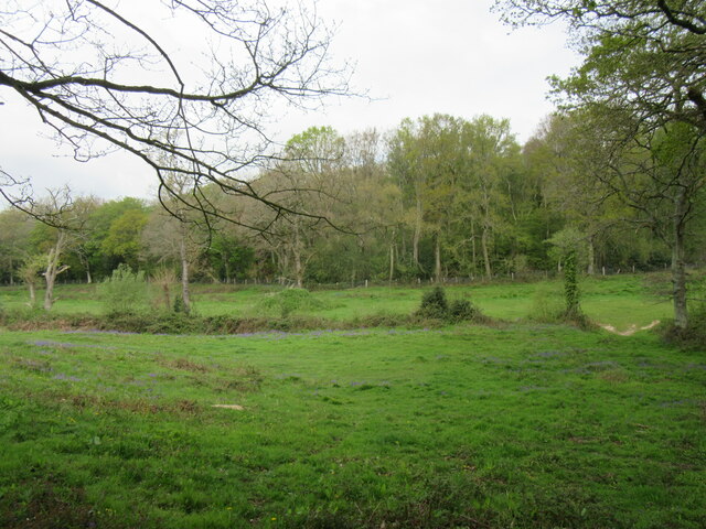
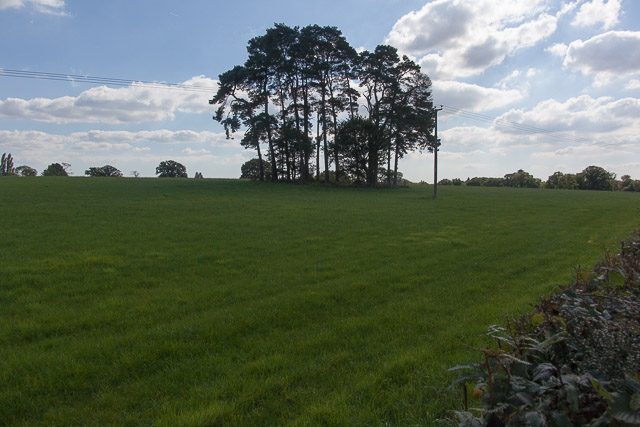
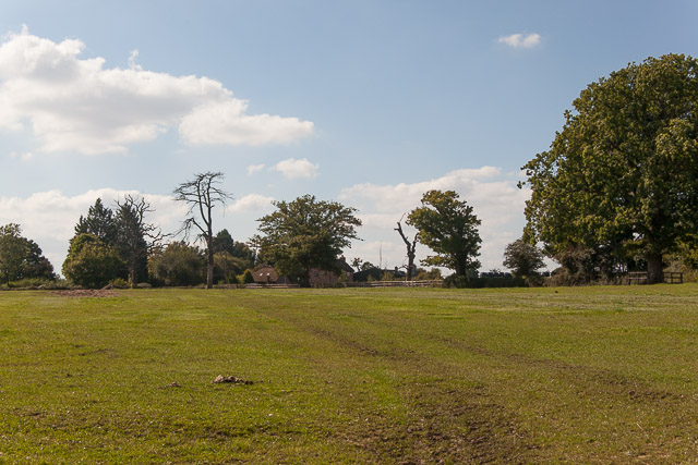
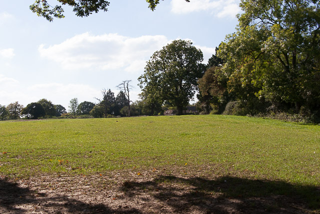
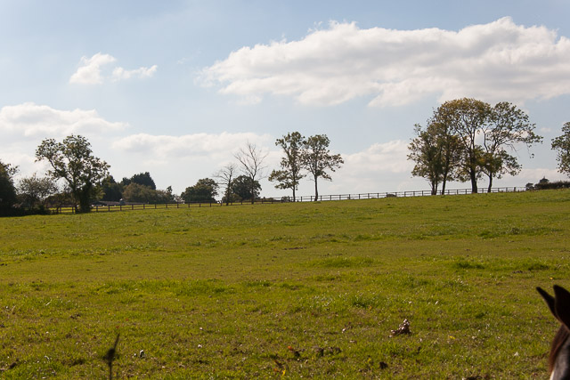
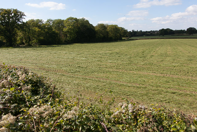
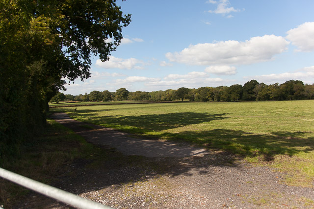
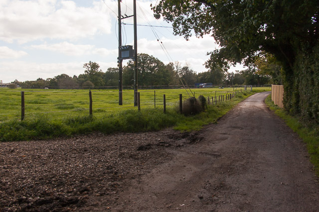
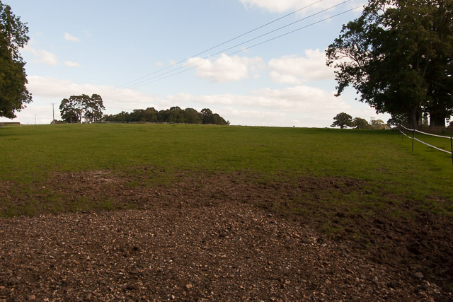
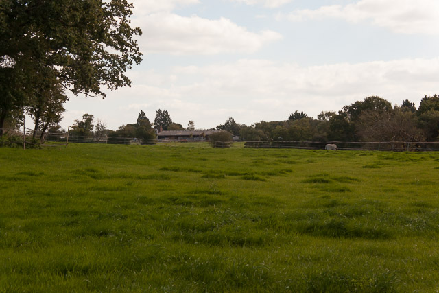
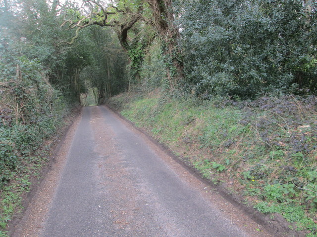
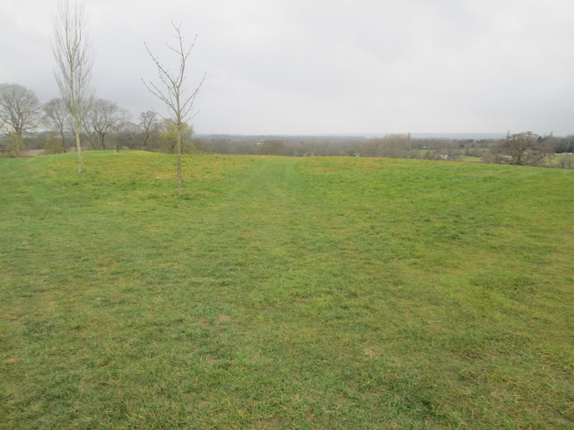
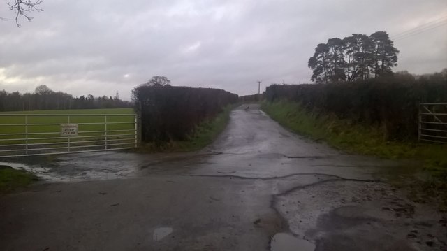
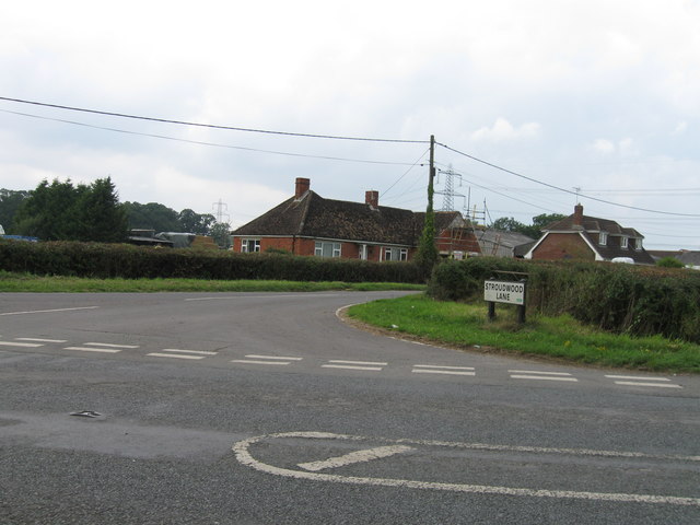
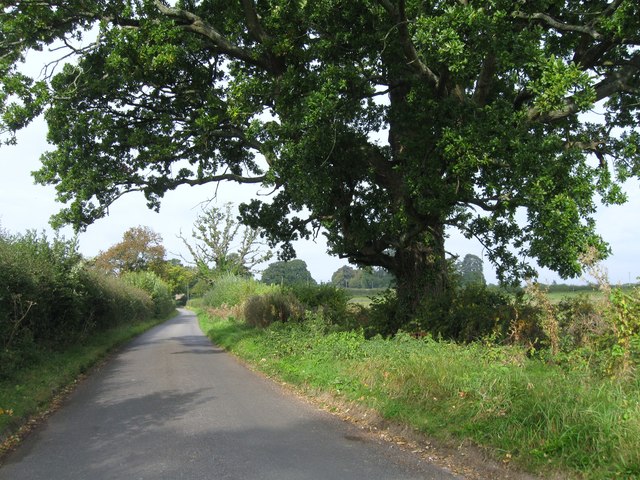
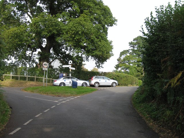
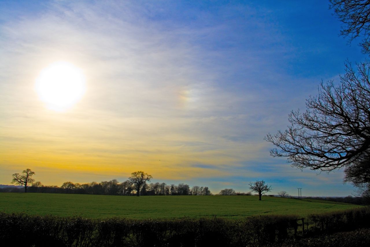
Knowlehill Copse is a picturesque wood located in Hampshire, England. Nestled amidst the stunning countryside, this forested area spans approximately 50 acres and is known for its natural beauty and diverse ecosystem. The copse is situated near the village of Knowle and can be easily accessed by a network of well-maintained footpaths.

The wood is primarily composed of a mixture of deciduous and coniferous trees, including oak, beech, ash, and pine. These trees create a dense canopy, providing a cool and shaded environment, particularly in the summer months. The forest floor is covered with a rich carpet of mosses, ferns, and wildflowers, adding to the overall beauty of the landscape.

Knowlehill Copse is home to a wide variety of wildlife. Visitors may be lucky enough to spot deer, foxes, rabbits, and a plethora of bird species, including woodpeckers, thrushes, and owls. The copse is also home to a diverse range of insects, including butterflies and beetles, making it a haven for nature enthusiasts and wildlife photographers.

The wood offers several well-marked trails, allowing visitors to explore its natural wonders at their own pace. These trails wind through the forest, offering panoramic views of the surrounding countryside and providing an opportunity to observe the abundant wildlife. There are also designated picnic areas and benches dotted throughout the copse, allowing visitors to take a break and enjoy the tranquil surroundings.

Overall, Knowlehill Copse is a true gem of Hampshire, offering visitors a chance to immerse themselves in nature and experience the beauty of a traditional English woodland.

If you have any feedback on the listing, please let us know in the comments section below.

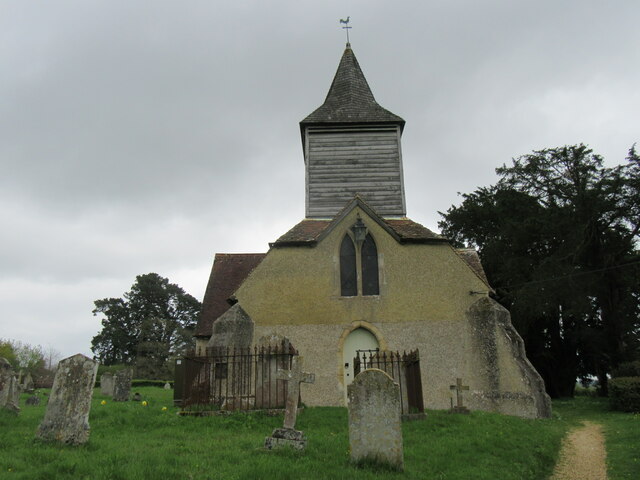
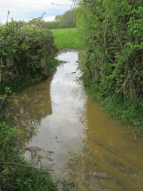
Knowlehill Copse Images

Images are sourced within 2km of 50.961592/-1.2877665 or Grid Reference SU5018. Thanks to Geograph Open Source API. All images are credited.

Durley church The church at Durley.
Durley church
The church at Durley.
Greenwood This woodland is called Greenwood.
Greenwood
This woodland is called Greenwood.
Impassable route This muddy puddle had thick hedges on both side, with no way around it. An alternative route had to be taken to get to Fair Oak.
Impassable route
This muddy puddle had thick hedges on both side, with no way around it. An alternative route had to be taken to get to Fair Oak.
Trees in field on Hall Lands Farm TEST TEXT PLEASE DO NOT AMEND. WILL BE REPLACED BY PROPER DESCRIPTION LATER.
lambda as numeric code λ and lambda as character ref λ also; lambda is not in windows-1252. dagger as numeric code † and dagger as character ref † also; dagger is in windows-1252 but not in iso-8859-1.
Trees in field on Hall Lands Farm
TEST TEXT PLEASE DO NOT AMEND. WILL BE REPLACED BY PROPER DESCRIPTION LATER. lambda as numeric code λ and lambda as character ref λ also; lambda is not in windows-1252. dagger as numeric code † and dagger as character ref † also; dagger is in windows-1252 but not in iso-8859-1.
Looking towards Pembers Hill Farm Seen from footpath. The Little Dower House is off-picture to the right of the big tree.
Looking towards Pembers Hill Farm
Seen from footpath. The Little Dower House is off-picture to the right of the big tree.
Looking towards The Little Dower House From footpath.
Looking towards The Little Dower House
From footpath.
Field south of Tippers Copse With barn of Pembers Hill Farm in distance. Seen from footpath.
Field south of Tippers Copse
With barn of Pembers Hill Farm in distance. Seen from footpath.
Field and Hall Lands Copse Seen from footpath over Hall Lands Lane.
Field and Hall Lands Copse
Seen from footpath over Hall Lands Lane.
Field north of Hall Lands Copse Seen from footpath over Hall Lands Lane
Field north of Hall Lands Copse
Seen from footpath over Hall Lands Lane
Hall Lands Lane As it passes Hall Lands House on the right.
Hall Lands Lane
As it passes Hall Lands House on the right.
Field east of Hall Lands House With Tippers Copse visible on the horizon.
Field east of Hall Lands House
With Tippers Copse visible on the horizon.
Field east of Hall Lands House With barn of Pembers Hill Farm in distance.
Field east of Hall Lands House
With barn of Pembers Hill Farm in distance.
Greenwood Lane Looking NE.
Greenwood Lane
Looking NE.
Golf Course The large golf course near Horton Heath.
Golf Course
The large golf course near Horton Heath.
Hall Lands Lane Looking NE
Hall Lands Lane
Looking NE
Stroudwood Lane
Stroudwood Lane
Church Lane
Church Lane
Road junction and finger post
Show me another place!

Knowlehill Copse is located at Grid Ref: SU5018 (Lat: 50.961592, Lng: -1.2877665)

Administrative County: Hampshire

District: Eastleigh

Police Authority: Hampshire

What 3 Words

///sofa.precluded.pricing. Near Bishopstoke, Hampshire

Related Wikis

Fair Oak Lodge

Fair Oak Lodge is a former country house in the village of Fair Oak, Hampshire. Much of the original estate has been built upon with modern housing, but...

Wyvern College, Eastleigh

Wyvern College is a [private education|coeducational]] secondary school with academy status for students in the villages of Fair Oak, Bishopstoke, Horton...

Fair Oak

Fair Oak is a large village to the east of the town of Eastleigh in Hampshire, England. Together with the village of Horton Heath, which lies to the south...

The King's School, Fair Oak

The King's School, on Allington Lane in Fair Oak, Hampshire, is an independent Christian faith school with 229 pupils As of 2023. The school was founded...

Horton Heath, Hampshire

Horton Heath is a semi-rural village which forms part of the civil parish of Fair Oak and Horton Heath in the borough of Eastleigh in Hampshire, England...

Borough of Eastleigh

The Borough of Eastleigh is a local government district with borough status in Hampshire, England. It is named after its main town of Eastleigh, where...

Wintershill

Wintershill is a hamlet in south Hampshire, England. == References == The geographic coordinates are from the Ordnance Survey.

Durley

Durley is a village and civil parish in the City of Winchester district of Hampshire, England. It is located approximately 7½ miles (12.1 km) northeast...

Nearby Amenities

Located within 500m of 50.961592,-1.2877665
Knowle Hill
Ele: 60
Natural: peak
Lat/Long: 50.9621104/-1.2877631
Odbl: clean
Lat/Long: 50.9660016/-1.2872682
Odbl: clean
Lat/Long: 50.9659359/-1.2875359
Odbl: clean
Lat/Long: 50.965861/-1.2890827
Odbl: clean
Lat/Long: 50.9659219/-1.2887696
Odbl: clean
Lat/Long: 50.965948/-1.2886044
Odbl: clean
Lat/Long: 50.9659943/-1.2884247
Bus Stop
Hall Lands Lane
Naptan AtcoCode: 1900HA030285
Naptan Bearing: E
Naptan CommonName: Hall Lands Lane
Naptan Crossing: Pembers Close
Naptan NaptanCode: hamdjptj
Naptan Street: Mortimers Lane
Naptan Verified: no
Source: naptan_import
Lat/Long: 50.9652702/-1.2918285
Bus Stop
Hall Lands Lane
Naptan AtcoCode: 1900HA030286
Naptan Bearing: W
Naptan CommonName: Hall Lands Lane
Naptan Crossing: Pembers Close
Naptan NaptanCode: hamdjptp
Naptan Street: Mortimers Lane
Naptan Verified: no
Source: naptan_import
Lat/Long: 50.965171/-1.2917731
Knowle Hill Farm
Landuse: farm
Note Retag: CS #48756035
Residence: farm
Source: OS OpenData StreetView
Lat/Long: 50.9594106/-1.2853423
Turning Circle
Lat/Long: 50.9646837/-1.2922976
Turning Circle
Source: Bing
Lat/Long: 50.9648358/-1.2895718
Nursing Home
Home Park
Source: survey
Lat/Long: 50.9574468/-1.2899893
Man Made: survey_point
Note: trig point has been moved from original position (in real life not in osm!)
Tourism: viewpoint
Lat/Long: 50.961149/-1.2891945
Communication Television: yes
Man Made: mast
Tower Construction: dish
Tower Type: communication
Lat/Long: 50.9639945/-1.282554
Communication Television: yes
Man Made: mast
Tower Construction: dish
Tower Type: communication
Lat/Long: 50.9640533/-1.2824232
Communication Television: yes
Man Made: mast
Tower Construction: dish
Tower Type: communication
Lat/Long: 50.9634827/-1.2827641
Communication Television: yes
Man Made: mast
Tower Construction: dish
Tower Type: communication
Lat/Long: 50.9635945/-1.2825073
Communication Television: yes
Man Made: mast
Tower Construction: dish
Tower Type: communication
Lat/Long: 50.9636651/-1.2823298
Generator Method: photovoltaic
Generator Output Electricity: yes
Generator Source: solar
Generator Type: solar_photovoltaic_panel
Location: roof
Power: generator
Lat/Long: 50.9617583/-1.2940505
Generator Method: photovoltaic
Generator Output Electricity: yes
Generator Source: solar
Generator Type: solar_photovoltaic_panel
Location: roof
Power: generator
Lat/Long: 50.9616383/-1.2946165
Generator Method: photovoltaic
Generator Output Electricity: yes
Generator Source: solar
Generator Type: solar_photovoltaic_panel
Location: roof
Power: generator
Lat/Long: 50.9628023/-1.2897912
Generator Method: photovoltaic
Generator Output Electricity: yes
Generator Source: solar
Generator Type: solar_photovoltaic_panel
Location: roof
Power: generator
Lat/Long: 50.9635185/-1.2903142
Generator Method: photovoltaic
Generator Output Electricity: yes
Generator Source: solar
Generator Type: solar_photovoltaic_panel
Location: roof
Power: generator
Lat/Long: 50.9639206/-1.2932378
Generator Method: photovoltaic
Generator Output Electricity: yes
Generator Source: solar
Generator Type: solar_photovoltaic_panel
Location: roof
Power: generator
Lat/Long: 50.9628141/-1.2921757
Generator Method: photovoltaic
Generator Output Electricity: yes
Generator Source: solar
Generator Type: solar_photovoltaic_panel
Location: roof
Power: generator
Lat/Long: 50.9628006/-1.2923339
Generator Method: photovoltaic
Generator Output Electricity: yes
Generator Source: solar
Generator Type: solar_photovoltaic_panel
Location: roof
Power: generator
Lat/Long: 50.9630675/-1.293101
Generator Method: photovoltaic
Generator Output Electricity: yes
Generator Source: solar
Generator Type: solar_photovoltaic_panel
Location: roof
Power: generator
Lat/Long: 50.9630641/-1.2932807
Generator Method: photovoltaic
Generator Output Electricity: yes
Generator Source: solar
Generator Type: solar_photovoltaic_panel
Location: roof
Power: generator
Lat/Long: 50.9630506/-1.293439
Generator Method: photovoltaic
Generator Output Electricity: yes
Generator Source: solar
Generator Type: solar_photovoltaic_panel
Location: roof
Power: generator
Lat/Long: 50.9636638/-1.2893835
Generator Method: photovoltaic
Generator Output Electricity: yes
Generator Source: solar
Generator Type: solar_photovoltaic_panel
Location: roof
Power: generator
Lat/Long: 50.9641537/-1.2892789
Generator Method: photovoltaic
Generator Output Electricity: yes
Generator Source: solar
Generator Type: solar_photovoltaic_panel
Location: roof
Power: generator
Lat/Long: 50.9659781/-1.2890911
Leisure: picnic_table
Lit: no
Material: wood
Lat/Long: 50.9589375/-1.2920846
The data included in this document is from www.openstreetmap.org. The data is made available under ODbL.

Have you been to Knowlehill Copse?

Leave your review of Knowlehill Copse below (or comments, questions and feedback).