Hill of Gunnista

Hill, Mountain in Shetland

Scotland

Hill of Gunnista

The lane to Setter, Bressay Running across the slopes of the Hill of Setter.
The lane to Setter, Bressay Credit: David Purchase

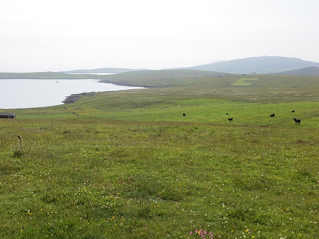
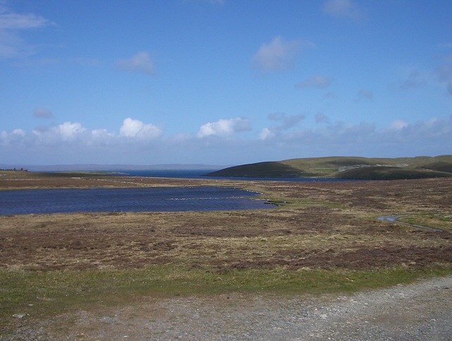
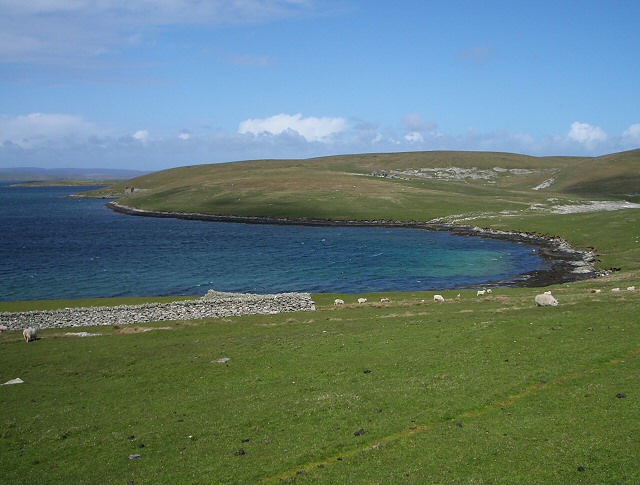
The Hill of Gunnista is a prominent feature located in the beautiful Shetland Islands, off the northern coast of Scotland. Rising to an elevation of 208 meters (682 feet), it is considered one of the highest hills in the region. Situated near the village of Sand, the hill offers stunning panoramic views of the surrounding landscape.

The Hill of Gunnista is characterized by its distinctive shape, with a gently sloping terrain leading to a rounded summit. The hill is primarily composed of sandstone, giving it a unique reddish-brown color. This geological composition has resulted in the formation of interesting rock formations and outcrops throughout the area.

The hill is covered in heather and grass, providing a picturesque sight, especially during the summer months when the heather blooms in vibrant purples and pinks. The area is also home to a diverse range of flora and fauna, including wildflowers, birds, and small mammals.

For outdoor enthusiasts, the Hill of Gunnista offers excellent opportunities for hiking and hillwalking. Several well-defined paths and trails lead to the summit, making it easily accessible for both experienced hikers and casual walkers. The climb to the top is relatively gentle, and the reward is a breathtaking view of the surrounding countryside, including the nearby coastline and the vast expanse of the North Sea.

Overall, the Hill of Gunnista is a popular destination for nature lovers, offering a combination of natural beauty, diverse wildlife, and recreational activities. Whether one seeks a challenging hike or simply wishes to enjoy the tranquility of the Shetland landscape, this hill provides an idyllic setting.

If you have any feedback on the listing, please let us know in the comments section below.

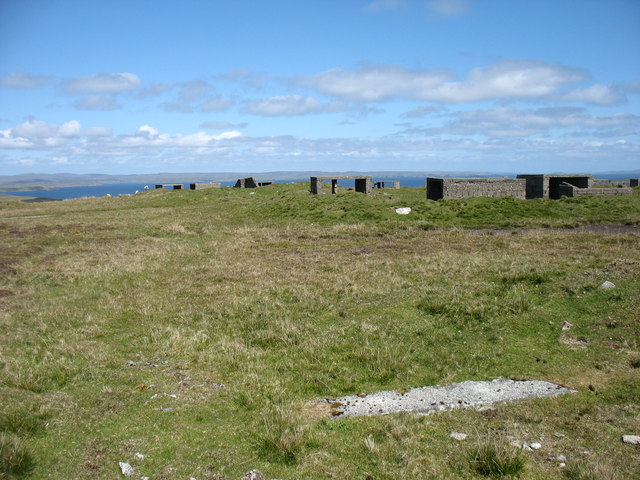
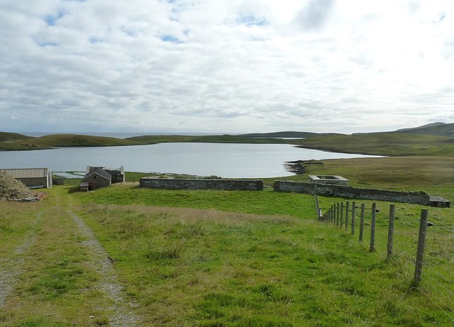
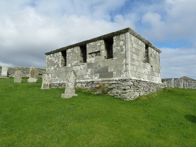
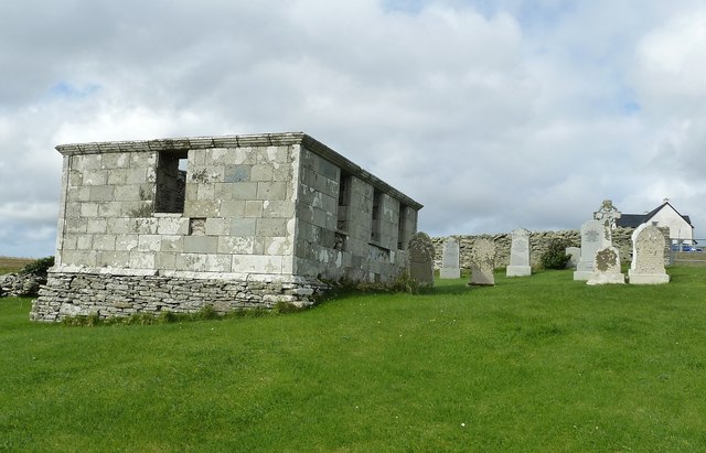
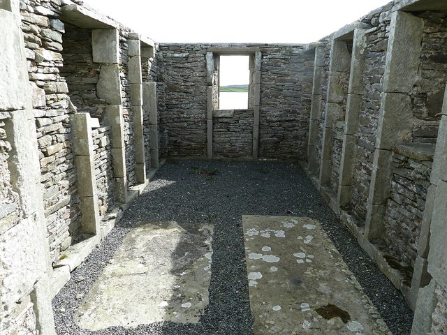
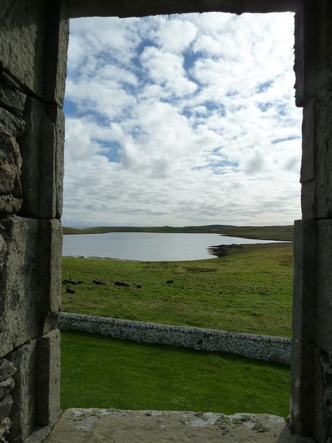
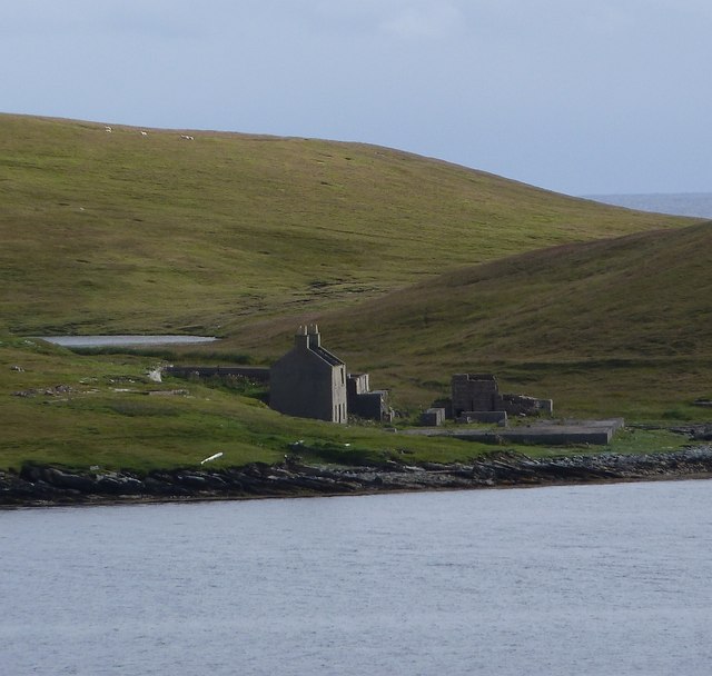
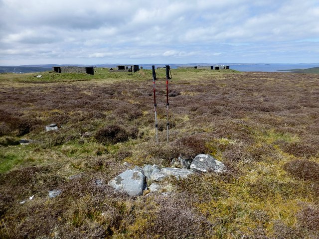
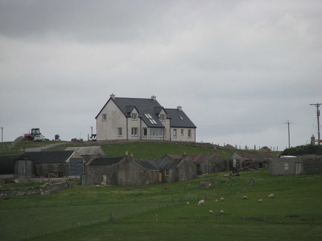
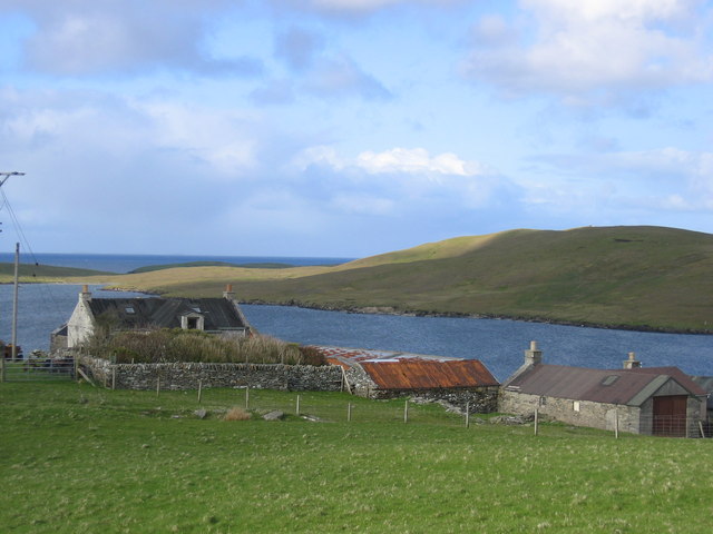
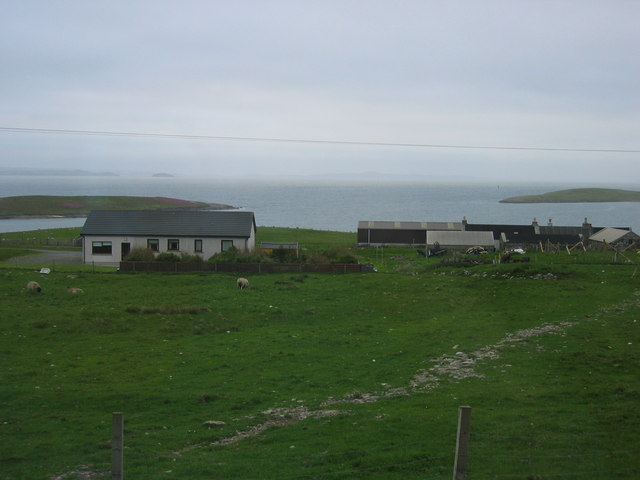
Hill of Gunnista Images

Images are sourced within 2km of 60.171121/-1.105427 or Grid Reference HU4943. Thanks to Geograph Open Source API. All images are credited.

The lane to Setter, Bressay Running across the slopes of the Hill of Setter.
The lane to Setter, Bressay
Running across the slopes of the Hill of Setter.
The summit of the Hill of Setter, Bressay With the remains of a World War II anti-aircraft battery.
The summit of the Hill of Setter, Bressay
With the remains of a World War II anti-aircraft battery.
View across Gunnista churchyard to Aith Voe Gunnista is a little settlement at the north of the island of Bressay. There is a walled churchyard here for the long vanished St Ola's Church. The graveyard contains a notable mausoleum and gravestones many of them quite recent. Beyond the land can be seen the landward end of Aith Voe, an inlet that curls round southeastwards from the north, and beyond that the land is the southern end of Aith Ness. For photographs of the mausoleum and churchyard, see <a href="https://www.geograph.org.uk/photo/2707684">HU5043 : Churchyard and Mausoleum, Gunnista</a> <a href="https://www.geograph.org.uk/photo/2707683">HU5043 : Gunnista Mausoleum</a>
View across Gunnista churchyard to Aith Voe
Gunnista is a little settlement at the north of the island of Bressay. There is a walled churchyard here for the long vanished St Ola's Church. The graveyard contains a notable mausoleum and gravestones many of them quite recent. Beyond the land can be seen the landward end of Aith Voe, an inlet that curls round southeastwards from the north, and beyond that the land is the southern end of Aith Ness. For photographs of the mausoleum and churchyard, see HU5043 : Churchyard and Mausoleum, Gunnista HU5043 : Gunnista Mausoleum
Gunnista Mausoleum This small mausoleum in the churchyard of the now vanished St Ola's Church was built for the Hendersons of Gardie. St Ola's was the parish church for the island of Bressay until the 1720s when a new church was built at Mail on the west of the island. The old church fell into ruin and was demolished. The mausoleum dates from the C18th and may stand where the old church once stood.
Gunnista Mausoleum
This small mausoleum in the churchyard of the now vanished St Ola's Church was built for the Hendersons of Gardie. St Ola's was the parish church for the island of Bressay until the 1720s when a new church was built at Mail on the west of the island. The old church fell into ruin and was demolished. The mausoleum dates from the C18th and may stand where the old church once stood.
Churchyard and Mausoleum, Gunnista The churchyard of the vanished St Ola's church, once the parish church for the island of Bressay contains the Henderson Mausoleum and a number of more recent headstones. Information about the Hendersons of Gardie here <span class="nowrap"><a title="http://shetlopedia.com/Henderson_of_Gardie_-_Grant%27s_County_Families" rel="nofollow ugc noopener" href="http://shetlopedia.com/Henderson_of_Gardie_-_Grant%27s_County_Families">Link</a><img style="margin-left:2px;" alt="External link" title="External link - shift click to open in new window" src="https://s1.geograph.org.uk/img/external.png" width="10" height="10"/></span>
Churchyard and Mausoleum, Gunnista
The churchyard of the vanished St Ola's church, once the parish church for the island of Bressay contains the Henderson Mausoleum and a number of more recent headstones. Information about the Hendersons of Gardie here LinkExternal link
Inside the Henderson Mausoleum at Gunnista The rectangular mausoleum in the churchyard of the former St Ola's church at Gunnista was built for the Hendersons of Gardie. see <span class="nowrap"><a title="http://shetlopedia.com/Henderson_of_Gardie_-_Grant%27s_County_Families" rel="nofollow ugc noopener" href="http://shetlopedia.com/Henderson_of_Gardie_-_Grant%27s_County_Families">Link</a><img style="margin-left:2px;" alt="External link" title="External link - shift click to open in new window" src="https://s1.geograph.org.uk/img/external.png" width="10" height="10"/></span>
Inside the Henderson Mausoleum at Gunnista
The rectangular mausoleum in the churchyard of the former St Ola's church at Gunnista was built for the Hendersons of Gardie. see LinkExternal link
A tomb with a view A view through the eastern window of the Henderson Mausoleum in the churchyard of the long-demolished church of St Ola at Gunnista on Bressay. Through the window can be seen the landward end of Aith Voe. Information on the Henderson family of Gardie here <span class="nowrap"><a title="http://shetlopedia.com/Henderson_of_Gardie_-_Grant%27s_County_Families" rel="nofollow ugc noopener" href="http://shetlopedia.com/Henderson_of_Gardie_-_Grant%27s_County_Families">Link</a><img style="margin-left:2px;" alt="External link" title="External link - shift click to open in new window" src="https://s1.geograph.org.uk/img/external.png" width="10" height="10"/></span>
A tomb with a view
A view through the eastern window of the Henderson Mausoleum in the churchyard of the long-demolished church of St Ola at Gunnista on Bressay. Through the window can be seen the landward end of Aith Voe. Information on the Henderson family of Gardie here LinkExternal link
Ruin across Aith Voe from Gunnista Looking across Aith Voe from the churchyard at Gunnista, the ruins of a building which I believe was a factory involved in the herring industry. It has a large concrete "courtyard" in front of it, presumably for dealing with the landed catch. Beyond the ruined building can be glimpsed a little of the small Loch of Aithness. It seems there were several quarries on Aith Ness which I think produced slate.
Ruin across Aith Voe from Gunnista
Looking across Aith Voe from the churchyard at Gunnista, the ruins of a building which I believe was a factory involved in the herring industry. It has a large concrete "courtyard" in front of it, presumably for dealing with the landed catch. Beyond the ruined building can be glimpsed a little of the small Loch of Aithness. It seems there were several quarries on Aith Ness which I think produced slate.
Hill of Setter Bagged on the way back from Score Hill with Tricky Speirs.  Heavily modified with wartime buildings but chambered cairn at natural highpoint has escaped.
Name: Hill of Setter
Hill number: 103941
Height: 90m / 295ft
Area: 22: Shetland Islands
Class: 0
Grid ref: HU504421 (est)
Drop: 39m
Col: 51m  HU504409
Hill of Setter
Bagged on the way back from Score Hill with Tricky Speirs. Heavily modified with wartime buildings but chambered cairn at natural highpoint has escaped. Name: Hill of Setter Hill number: 103941 Height: 90m / 295ft Area: 22: Shetland Islands Class: 0 Grid ref: HU504421 (est) Drop: 39m Col: 51m HU504409
View To Ander Hill View to Ander Hill from parking spot for the walk out to Score Hill and Hill of Setter.
View To Ander Hill
View to Ander Hill from parking spot for the walk out to Score Hill and Hill of Setter.
View Up Track Towards Bruntland A view up the track to the dwellings at Bruntland.  A good drainage ditch beside the track.
View Up Track Towards Bruntland
A view up the track to the dwellings at Bruntland. A good drainage ditch beside the track.
House And Boat At Aith
Gunnista croftland Northern Bressay.
Gunnista croftland
Northern Bressay.
Gunnista
Gunnista
Gunnista
Gunnista
Gunnista looking North
Loch of Aith Taken from the track to Aith Ness
Loch of Aith
Taken from the track to Aith Ness
Aith Voe The remains of quarries on Aith Ness can be seen across the bay of Aith Voe.
Aith Voe
The remains of quarries on Aith Ness can be seen across the bay of Aith Voe.
Show me another place!

Hill of Gunnista is located at Grid Ref: HU4943 (Lat: 60.171121, Lng: -1.105427)

Unitary Authority: Shetland Islands

Police Authority: Highlands and Islands

What 3 Words

///giggles.huddling.cello. Near Lerwick, Shetland Islands

Related Wikis

Gardie House

Gardie House is an 18th-century estate house on Bressay in Shetland, Scotland. Located opposite Lerwick, across the Bressay Sound, Gardie is described...

Voe of Cullingsburgh

Voe of Cullingsburgh is a large sea loch off the Shetland island of Bressay, voe meaning "sea inlet" in Shetland dialect. The local spelling of the name...

Broch of Cullingsburgh

The Broch of Cullingsburgh is an Iron Age broch located in the Shetland islands. == Location == Located on Bressay, off the east coast of mainland Shetland...

Mareel

Mareel is a multi-purpose entertainment venue located on the waterfront of Lerwick, the capital of Shetland. Opening in 2012, the facility includes a music...

Nearby Amenities

Located within 500m of 60.171121,-1.105427
Power: pole
Source: bing
Lat/Long: 60.1731272/-1.1133741
Power: pole
Source: bing
Lat/Long: 60.1733312/-1.1121605
Power: pole
Source: bing
Lat/Long: 60.1735514/-1.1107762
Power: pole
Source: bing
Lat/Long: 60.1737975/-1.1093612
Power: pole
Source: bing
Lat/Long: 60.1739814/-1.1082249
Power: pole
Source: bing
Lat/Long: 60.1741879/-1.1069898
Power: pole
Source: bing
Lat/Long: 60.1743789/-1.1058238
Power: pole
Source: bing
Lat/Long: 60.1745647/-1.1047133
Power: pole
Source: bing
Lat/Long: 60.1747712/-1.1034885
Power: pole
Source: bing
Lat/Long: 60.1749536/-1.1023779
Power: pole
Lat/Long: 60.1744966/-1.110328
Power: pole
Lat/Long: 60.1740909/-1.1096023
Power: pole
Lat/Long: 60.1732207/-1.1089437
Power: pole
Lat/Long: 60.1726149/-1.1085045
Power: pole
Lat/Long: 60.1742575/-1.1029753
Power: pole
Lat/Long: 60.1739874/-1.102319
Power: pole
Lat/Long: 60.1738782/-1.1020231
Power: pole
Lat/Long: 60.1732966/-1.1006365
Power: pole
Lat/Long: 60.1728276/-1.0995018
Power: pole
Lat/Long: 60.1723448/-1.098337
Power: pole
Lat/Long: 60.1718287/-1.0970543
The data included in this document is from www.openstreetmap.org. The data is made available under ODbL.

Have you been to Hill of Gunnista?

Leave your review of Hill of Gunnista below (or comments, questions and feedback).