Castle Hill
Hill, Mountain in Nottinghamshire Ashfield
England
Castle Hill
Castle Hill is a prominent landmark situated in Nottinghamshire, England. It is a natural hill that stands at an elevation of 113 meters above sea level, making it one of the highest points in the county. Located near the town of Nottingham, Castle Hill offers breathtaking panoramic views of the surrounding countryside.
The hill is named after the ruins of Nottingham Castle, which once stood proudly at its summit. The castle was originally built in the 11th century and played a significant role in English history, being the site of several conflicts and sieges. However, the castle was largely destroyed during the English Civil War in the 17th century, leaving only remnants of its former grandeur.
Today, visitors to Castle Hill can explore the ruins of the castle and learn about its historical significance. The site is filled with archaeological remains, including foundations, walls, and towers, which provide a glimpse into the castle's past. In addition to the castle ruins, the hill is also home to a beautiful park, offering a tranquil setting for leisurely walks and picnics.
Castle Hill is a popular destination for locals and tourists alike, attracting visitors with its rich history, scenic views, and recreational opportunities. The hill's strategic location and commanding height make it an ideal spot to appreciate the beauty of Nottinghamshire's landscape. Whether it's exploring the castle ruins or enjoying the peaceful surroundings, Castle Hill offers a captivating experience for anyone seeking a taste of history and natural beauty in Nottinghamshire.
If you have any feedback on the listing, please let us know in the comments section below.
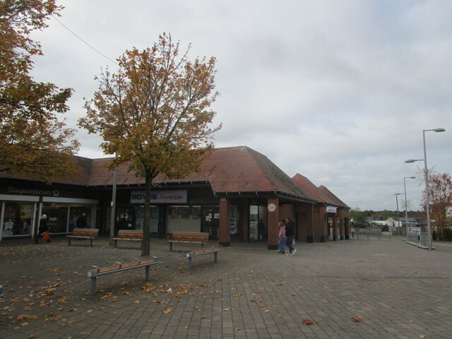
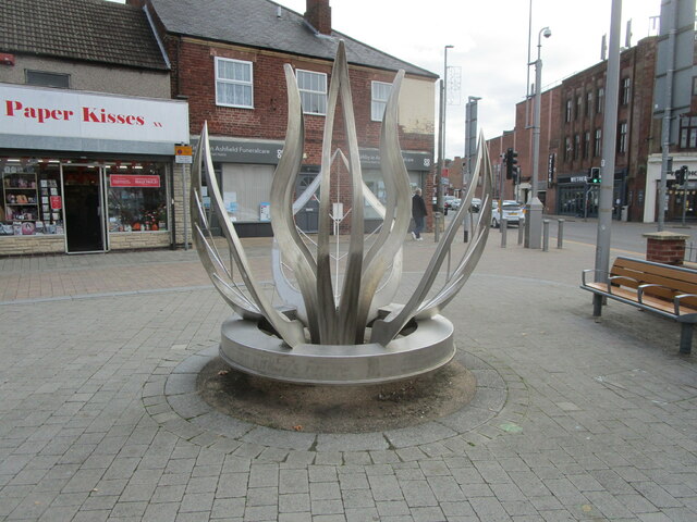
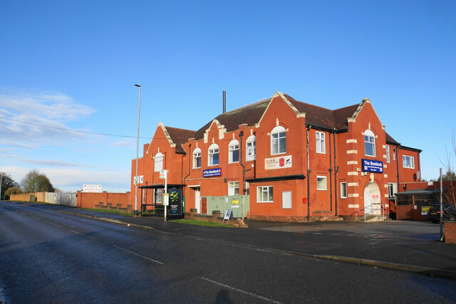
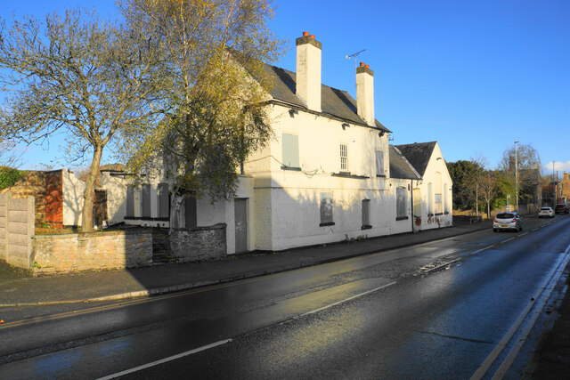
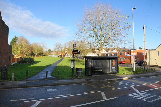
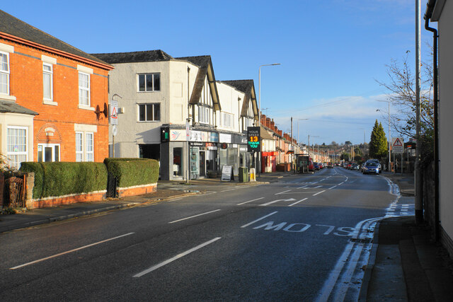
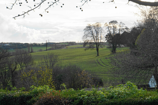
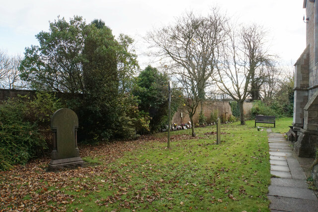
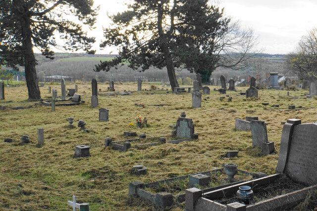
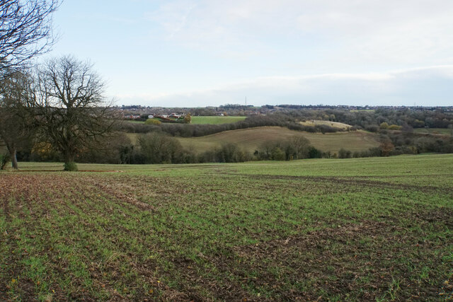
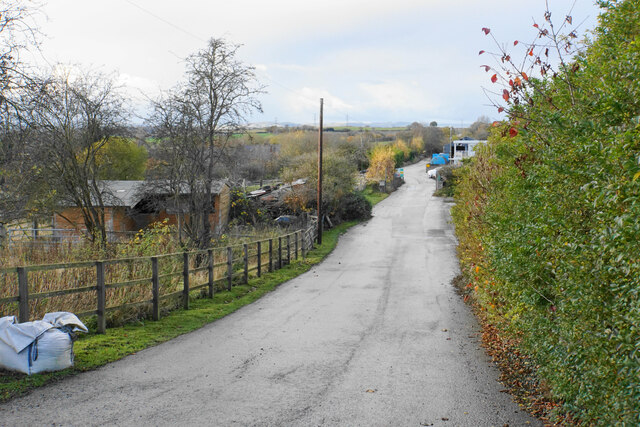
Castle Hill Images
Images are sourced within 2km of 53.09664/-1.2696486 or Grid Reference SK4955. Thanks to Geograph Open Source API. All images are credited.


Castle Hill is located at Grid Ref: SK4955 (Lat: 53.09664, Lng: -1.2696486)
Administrative County: Nottinghamshire
District: Ashfield
Police Authority: Nottinghamshire
What 3 Words
///beside.winks.flight. Near Kirkby in Ashfield, Nottinghamshire
Nearby Locations
Related Wikis
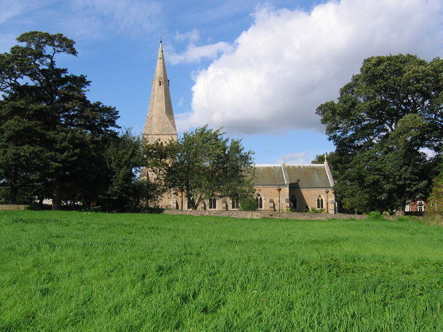
St Wilfrid's Church, Kirkby-in-Ashfield
St Wilfrid's Church, Kirkby-in-Ashfield is a parish church in the Church of England in Kirkby-in-Ashfield, Nottinghamshire. The church is Grade II listed...

Kirkby Bentinck railway station
Kirkby Bentinck railway station served the town of Kirkby-in-Ashfield, Nottinghamshire, England. It was on the Annesley branch of the Manchester, Sheffield...

Kirkby-in-Ashfield Central railway station
Kirkby-in-Ashfield Central is a former railway station that served the town of Kirkby-in-Ashfield, Nottinghamshire. == History == The station was opened...

Kirkby-in-Ashfield railway station
Kirkby-in-Ashfield railway station serves the town of Kirkby-in-Ashfield in Nottinghamshire, England. The station is on the Robin Hood Line and is operated...
Nearby Amenities
Located within 500m of 53.09664,-1.2696486Have you been to Castle Hill?
Leave your review of Castle Hill below (or comments, questions and feedback).