Charley Knoll

Hill, Mountain in Leicestershire North West Leicestershire

England

Charley Knoll

Charnwood Forrest Farm Entrance to the farm shop
Charnwood Forrest Farm Credit: Andrew Abbott

Charley Knoll is a picturesque hill located in Leicestershire, England. Rising to an elevation of approximately 208 meters (682 feet), it is considered one of the highest points in the county. Situated near the village of Charley, the knoll offers stunning panoramic views of the surrounding countryside.

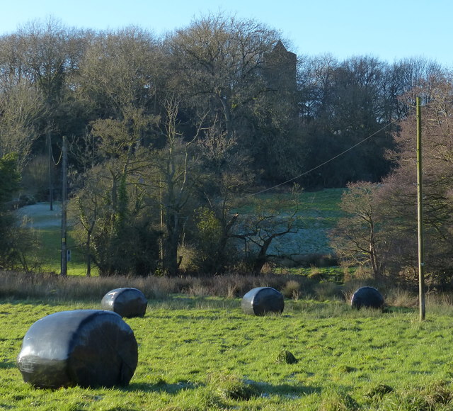
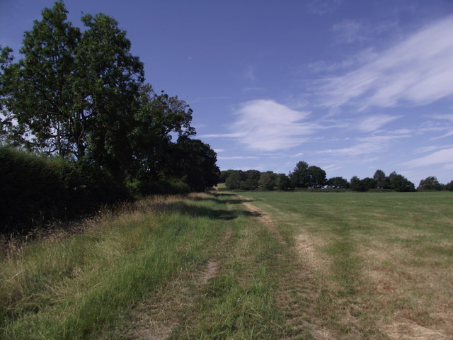
Covered in lush greenery and adorned with patches of wildflowers, Charley Knoll is a popular destination for nature enthusiasts and hikers. The hill is known for its diverse flora and fauna, providing a habitat for a range of species. Visitors may encounter various bird species, including buzzards and kestrels, as well as rabbits and other small mammals.

The knoll is part of the larger Charnwood Forest, a designated Area of Outstanding Natural Beauty. This ancient woodland area is known for its unique geological features, including rocky outcrops and exposed granite formations. Charley Knoll itself boasts a rocky summit, adding to its charm and making it a favorite spot for climbers and rock climbers.

In addition to its natural beauty, Charley Knoll has historical significance. The area is home to the ruins of an Iron Age hill fort, believed to have been occupied over 2,000 years ago. These remnants serve as a reminder of the area's rich cultural heritage and provide an intriguing glimpse into its past.

Charley Knoll is easily accessible, with footpaths leading up to the summit from the nearby village. It offers a peaceful retreat from the bustling city life, providing visitors with a chance to reconnect with nature and enjoy the tranquil surroundings.

If you have any feedback on the listing, please let us know in the comments section below.

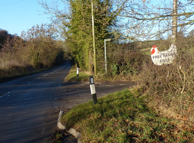
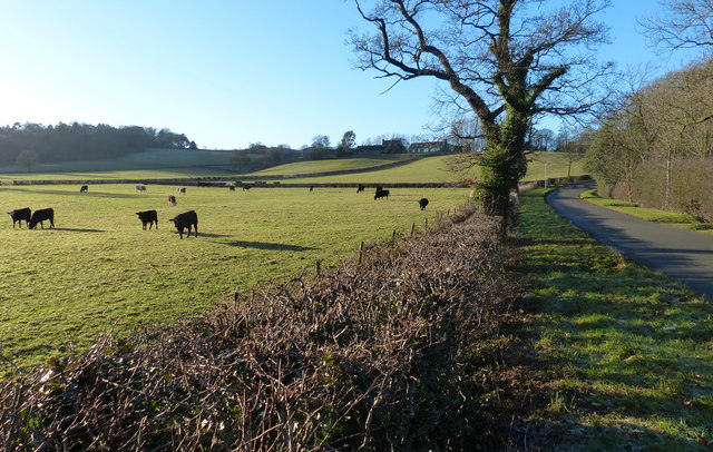
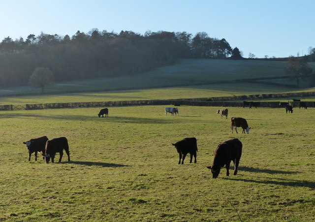
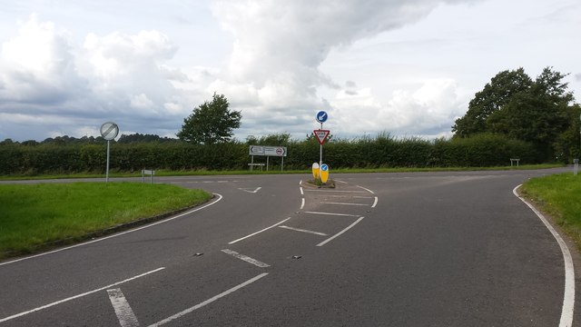
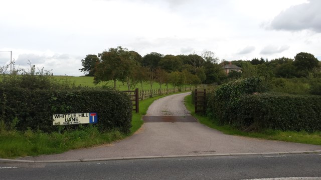
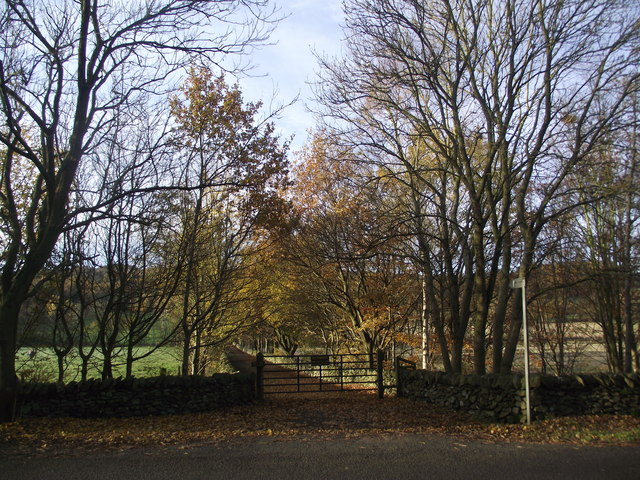
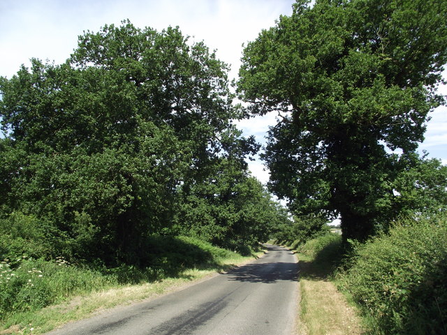
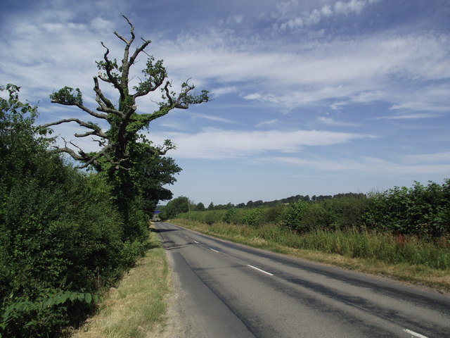
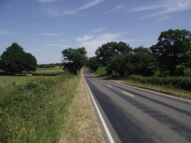
Charley Knoll Images

Images are sourced within 2km of 52.73743/-1.2756947 or Grid Reference SK4915. Thanks to Geograph Open Source API. All images are credited.

Charnwood Forrest Farm Entrance to the farm shop
Charnwood Forrest Farm
Entrance to the farm shop
A wet M1, southbound The M1 is a north–south motorway connecting London to Leeds, where it joins the A1(M) near Aberford. It was the first motorway to be completed in the United Kingdom.
The motorway is 193 miles long and was constructed in four phases. Most of the motorway was opened between 1959 and 1968 but the southern end was extended in 1977 and the northern end was extended in 1999.
A wet M1, southbound
The M1 is a north–south motorway connecting London to Leeds, where it joins the A1(M) near Aberford. It was the first motorway to be completed in the United Kingdom. The motorway is 193 miles long and was constructed in four phases. Most of the motorway was opened between 1959 and 1968 but the southern end was extended in 1977 and the northern end was extended in 1999.
Field and bales in the Black Brook Valley Partly obscured by the trees is the tower of the Church of St. James the Greater, in the hamlet of Oaks in Charnwood.
Field and bales in the Black Brook Valley
Partly obscured by the trees is the tower of the Church of St. James the Greater, in the hamlet of Oaks in Charnwood.
Entrance to Lubcloud Farm along Charley Road
Oaks Road in the Black Brook Valley
Cattle in the Black Brook Valley The woodland is at Collier Hill.
Cattle in the Black Brook Valley
The woodland is at Collier Hill.
Church of St. James the Greater In the hamlet of Oaks in Charnwood.
Church of St. James the Greater
In the hamlet of Oaks in Charnwood.
Lychgate at the Church of St. James the Greater In the hamlet of Oaks in Charnwood.
Lychgate at the Church of St. James the Greater
In the hamlet of Oaks in Charnwood.
Road junction The road junction near Roe's plantation.
Road junction
The road junction near Roe's plantation.
Whittle Hill Lane This is the road entrance to Whittle Hill Farm.
Whittle Hill Lane
This is the road entrance to Whittle Hill Farm.
St James the Greater
Footpath from Charley Road to Charley Woods Nature Reserve
Footpath from Benscliffe Road to Charley Road
Charley Road
Charley Road
Charley Road
Charley Road
The B591 looking north east
Black Brook Valley at Oaks in Charnwood
Show me another place!

Charley Knoll is located at Grid Ref: SK4915 (Lat: 52.73743, Lng: -1.2756947)

Administrative County: Leicestershire

District: North West Leicestershire

Police Authority: Leicestershire

What 3 Words

///aquatic.depth.unionists. Near Shepshed, Leicestershire

Nearby Locations

Charley Knoll

Related Wikis

Oaks in Charnwood

Oaks in Charnwood is a hamlet of scattered houses in the English county of Leicestershire within the Charnwood Forest. Oaks in Charnwood is located in...

Charley Priory

Charley Priory was a small former priory in Leicestershire, England. == History == The exact date Charley Priory was established is unknown, but is at...

Felicity's Wood

Felicity's Wood is a woodland in Leicestershire, England, near the village of Woodhouse Eaves. It covers a total area of 8.77 hectares (21.67 acres). It...

Charley Woods

Charley Woods is a 26.8 hectares (66 acres) nature reserve north of Copt Oak in Leicestershire. It is owned and managed by the Leicestershire and Rutland...

Nearby Amenities

Located within 500m of 52.73743,-1.2756947
Charley Knoll
Ele: 190
Natural: peak
Lat/Long: 52.7374546/-1.2754348
Charley Knoll Farm
Place: farm
Source: aerial imagery;OS OpenData StreetView
Lat/Long: 52.7359887/-1.2732056
The data included in this document is from www.openstreetmap.org. The data is made available under ODbL.

Have you been to Charley Knoll?

Leave your review of Charley Knoll below (or comments, questions and feedback).