Mossy Hill

Hill, Mountain in Shetland

Scotland

Mossy Hill

West Yell: postbox № ZE2 39 A small postbox, a modern replacement for the old box still in its pillar a little beyond (see <a href="https://www.geograph.org.uk/photo/2632485">HU4582 : West Yell: disused postbox</a> for a close-up). Its collection time, daily except Sunday, is 10:15am.
West Yell: postbox № ZE2 39 Credit: Chris Downer

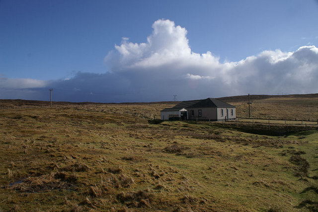
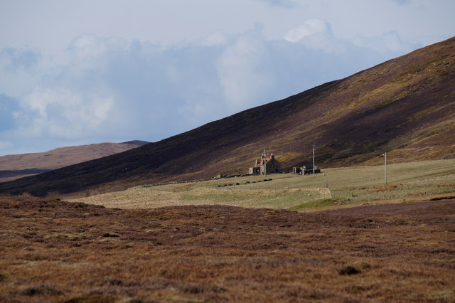
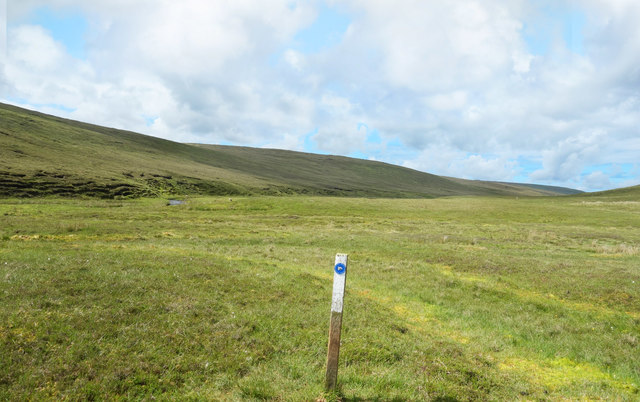
Mossy Hill, located in Shetland, Scotland, is a prominent hill standing at an elevation of approximately 174 meters (571 feet) above sea level. Situated in the southern part of the Shetland Mainland, Mossy Hill offers panoramic views of the surrounding landscape and is a popular destination for hikers and nature enthusiasts.

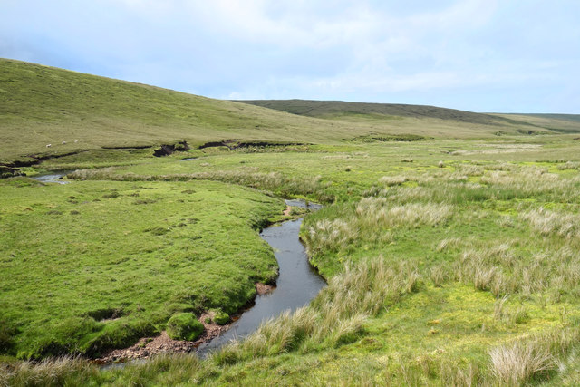
The hill derives its name from the extensive covering of moss and vegetation that blankets its slopes, giving it a distinct green appearance. The mossy terrain adds to the charm and natural beauty of the area, creating a serene and picturesque landscape.

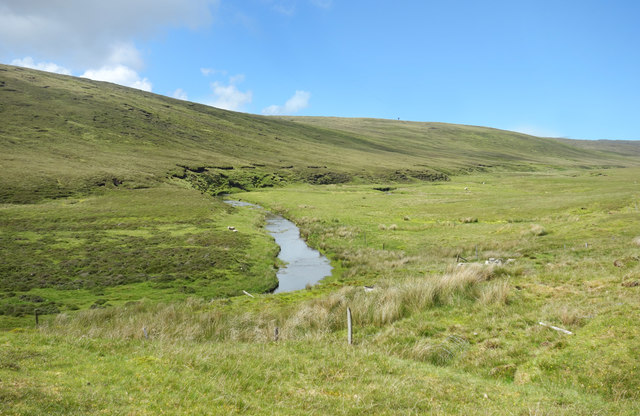
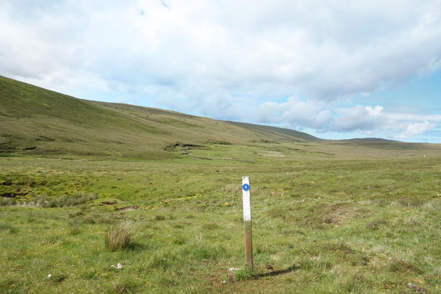
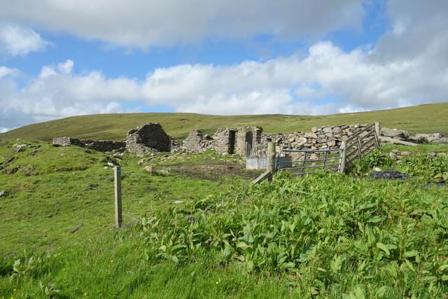
Mossy Hill is characterized by its rolling contours and gentle slopes, making it accessible to both experienced and less experienced hikers. Visitors can enjoy the opportunity to explore the diverse flora and fauna that inhabit the hillside, with various species of wildflowers and grasses being particularly abundant.

The summit of Mossy Hill offers breathtaking vistas of the surrounding Shetland Islands, including stunning views of the coastline and neighboring hills. On clear days, it is even possible to catch a glimpse of the North Sea shimmering in the distance.

The hill is easily accessible by foot, with several well-marked trails leading to its summit. These trails wind through heather-clad moorlands and grassy slopes, providing a pleasant hiking experience for outdoor enthusiasts of all ages.

Mossy Hill, with its moss-covered slopes, captivating views, and peaceful ambience, stands as a testament to the natural beauty and tranquility of the Shetland Islands.

If you have any feedback on the listing, please let us know in the comments section below.
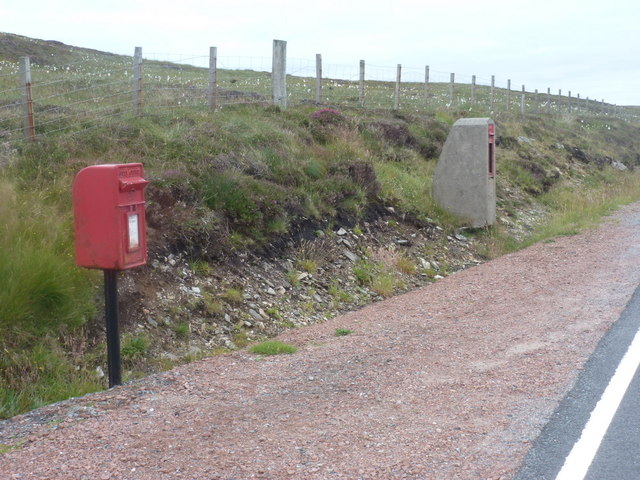
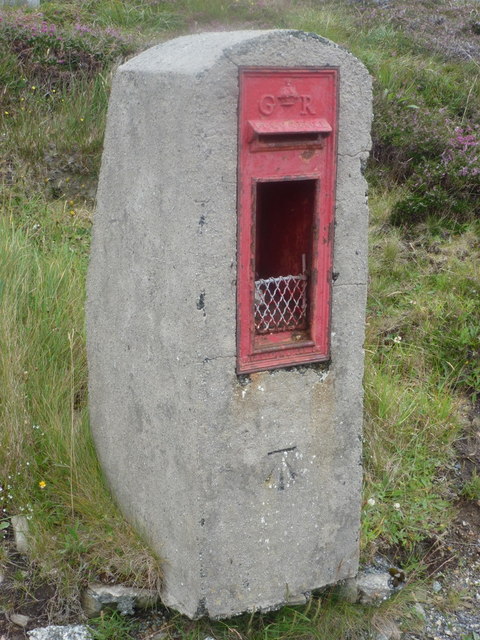
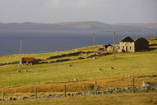
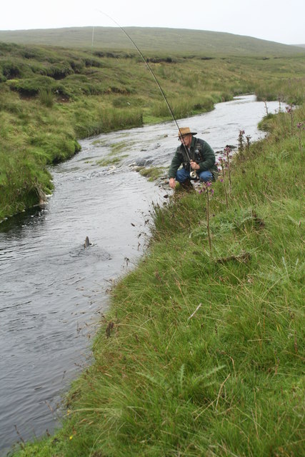
Mossy Hill Images

Images are sourced within 2km of 60.528991/-1.1354237 or Grid Reference HU4783. Thanks to Geograph Open Source API. All images are credited.

West Yell: postbox № ZE2 39 A small postbox, a modern replacement for the old box still in its pillar a little beyond (see <a href="https://www.geograph.org.uk/photo/2632485">HU4582 : West Yell: disused postbox</a> for a close-up). Its collection time, daily except Sunday, is 10:15am.
West Yell: postbox № ZE2 39
A small postbox, a modern replacement for the old box still in its pillar a little beyond (see HU4582 : West Yell: disused postbox for a close-up). Its collection time, daily except Sunday, is 10:15am.
West Yell: disused postbox A George V-reign postbox, long disused and situated a couple of yards from its modern replacement (see <a href="https://www.geograph.org.uk/photo/2632479">HU4582 : West Yell: postbox № ZE2 39</a>). An Ordnance Survey benchmark is etched into the stone pillar.
West Yell: disused postbox
A George V-reign postbox, long disused and situated a couple of yards from its modern replacement (see HU4582 : West Yell: postbox № ZE2 39). An Ordnance Survey benchmark is etched into the stone pillar.
Ruin at North-the-burn, Setter, West Yell
Arisdale Burn on Yell Trout fishing on Arisdale Burn above the ruined house along the track to the crash site of an RAF Catalina at Willa-mina Hoga.
Arisdale Burn on Yell
Trout fishing on Arisdale Burn above the ruined house along the track to the crash site of an RAF Catalina at Willa-mina Hoga.
Triangulation Point Evra Houll trig point
Triangulation Point
Evra Houll trig point
House at Setter In west Yell.
House at Setter
In west Yell.
House at Setter, West Yell Looking towards the north slopes of the Hill of Setter.
House at Setter, West Yell
Looking towards the north slopes of the Hill of Setter.
Slopes of the Hill of Clothan, West Yell
Loch of Ulsta Around 6am with mist still clearing.
Loch of Ulsta
Around 6am with mist still clearing.
Buildings at Setter
Buildings at Setter
The house of Arisdale in Aris Dale No longer occupied.
The house of Arisdale in Aris Dale
No longer occupied.
Aris Dale There is a track part-way up this valley, to the right of the power line. After walking for nearly 5 kilometres one can reach the Catalina crash site in <a href="https://www.geograph.org.uk/gridref/HU4885">HU4885</a>. It seems that only one Geograph-er has yet been to the memorial. I wished to go, but there was no time - the ferry would not wait!
Aris Dale
There is a track part-way up this valley, to the right of the power line. After walking for nearly 5 kilometres one can reach the Catalina crash site in HU4885. It seems that only one Geograph-er has yet been to the memorial. I wished to go, but there was no time - the ferry would not wait!
The Burn of Arisdale The Burn of Arisdale flows southwards for around 6 kms from its source in the heart of the southern part of Yell. The electric cables visible here go to a deserted farmhouse a short way up the valley.
The Burn of Arisdale
The Burn of Arisdale flows southwards for around 6 kms from its source in the heart of the southern part of Yell. The electric cables visible here go to a deserted farmhouse a short way up the valley.
Aris Dale A short way north of the deserted farmstead at Arisdale.
Aris Dale
A short way north of the deserted farmstead at Arisdale.
Way Mark on the Catalina Trail One of the more extreme things to do on Yell is to take a hike up to the place where an aircraft crashed in 1942 with the loss of seven of the ten people aboard.
The site is remote and a lot of the debris has never been removed. A simple memorial has been put up amidst the emptiness.
To be honest, there is no trail as such and beyond the ruins of the farm at Arisdale you just follow the way markers over terrain similar to this.
A great sense of achievement when you get there, and it gets you to a part of the island hardly anybody goes to.
Way Mark on the Catalina Trail
One of the more extreme things to do on Yell is to take a hike up to the place where an aircraft crashed in 1942 with the loss of seven of the ten people aboard. The site is remote and a lot of the debris has never been removed. A simple memorial has been put up amidst the emptiness. To be honest, there is no trail as such and beyond the ruins of the farm at Arisdale you just follow the way markers over terrain similar to this. A great sense of achievement when you get there, and it gets you to a part of the island hardly anybody goes to.
Catalina Trail Way Marker There is a way marked hike up Arisdale to the site where an aircraft crashed in 1942. There is no path as such, you just make your own way from one post to the next.
Catalina Trail Way Marker
There is a way marked hike up Arisdale to the site where an aircraft crashed in 1942. There is no path as such, you just make your own way from one post to the next.
The Burn of Arisdale below Mossy Hill The Burn of Arisdale flows southwards for around 6 kms from its source in the heart of the southern part of Yell.
I took a slight detour from the way marked Catalina Trail which runs up the valley to get this first Geograph for HU4783.
The Burn of Arisdale below Mossy Hill
The Burn of Arisdale flows southwards for around 6 kms from its source in the heart of the southern part of Yell. I took a slight detour from the way marked Catalina Trail which runs up the valley to get this first Geograph for HU4783.
Ruins at Arisdale The main farmhouse at Arisdale, itself now falling into ruin, is a substantial two storey building, but nearby are the remains of a much older habitation.
Ruins at Arisdale
The main farmhouse at Arisdale, itself now falling into ruin, is a substantial two storey building, but nearby are the remains of a much older habitation.
Show me another place!

Mossy Hill is located at Grid Ref: HU4783 (Lat: 60.528991, Lng: -1.1354237)

Unitary Authority: Shetland Islands

Police Authority: Highlands and Islands

What 3 Words

///tidying.wasp.zinc. Near Ulsta, Shetland Islands

Nearby Locations

Aris Dale Mossy Hill

Related Wikis

Ulsta

Ulsta is a village in the south-west of the island of Yell, Shetland, Scotland. North Ness Hall is the local community facility. The car ferry to Toft...

Uynarey

Uynarey is one of the Shetland islands in Yell Sound, just to the north of Bigga, and east of Brother Island. It is an RSPB reserve. The name comes from...

Copister

Copister is a village in Yell. It is a former centre for haaf fishing, and has a shingle beach. == References == Blackadder, Jill Slee (2003). Shetland...

Bigga, Shetland

Bigga is an uninhabited island in the Yell Sound between the Mainland and Yell in Shetland, Scotland. == Geography and geology == Just over 1,000 metres...

Have you been to Mossy Hill?

Leave your review of Mossy Hill below (or comments, questions and feedback).