Hunt's Hill
Hill, Mountain in Nottinghamshire Broxtowe
England
Hunt's Hill
Hunt's Hill, located in Nottinghamshire, is a prominent geological feature in the region known for its picturesque landscape and historical significance. Despite being referred to as a hill, it is more accurately categorized as a small mountain due to its elevation and steep slopes.
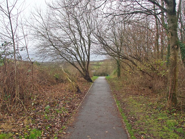
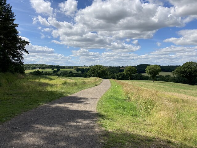
Standing at an impressive height of 300 meters (984 feet) above sea level, Hunt's Hill offers stunning panoramic views of the surrounding countryside. It is situated in the eastern part of Nottinghamshire, near the town of Blidworth, within Sherwood Forest. The hill is covered in lush greenery, featuring dense woodland, grassy slopes, and an array of wildflowers. This natural beauty has made it a popular attraction for nature enthusiasts and hikers.
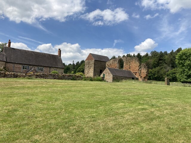
Hunt's Hill holds significant historical importance as it is believed to be the site of a medieval castle, dating back to the 11th century. The remains of fortifications can still be seen atop the hill, including fragments of stone walls and earthworks. The castle played a crucial role during the Norman conquest of England and was strategically positioned to oversee the surrounding landscape.
Today, Hunt's Hill is a protected area, designated as a Site of Special Scientific Interest (SSSI), due to its rich biodiversity. The hill is home to a variety of plant and animal species, including rare orchids, butterflies, and birds. It provides a tranquil retreat for visitors, offering walking trails, picnic spots, and opportunities for wildlife observation.
Overall, Hunt's Hill in Nottinghamshire showcases the harmonious blend of natural beauty and historical heritage, making it a cherished destination for both locals and tourists alike.
If you have any feedback on the listing, please let us know in the comments section below.
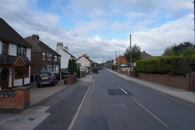
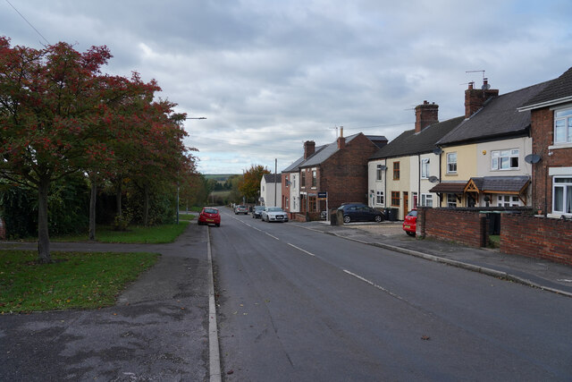
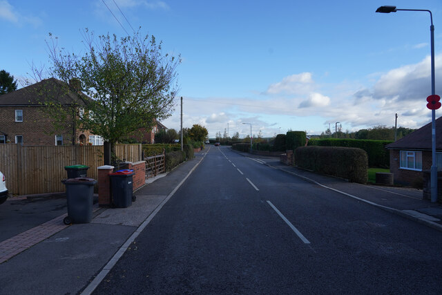
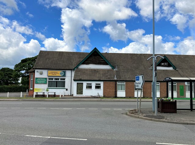
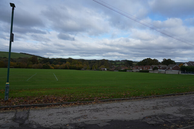
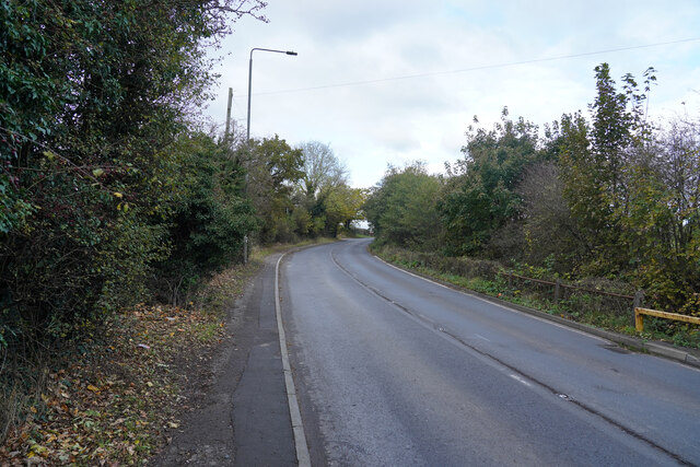
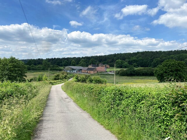
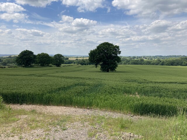
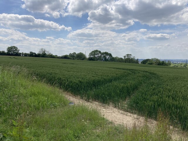
Hunt's Hill Images
Images are sourced within 2km of 53.036732/-1.2958496 or Grid Reference SK4749. Thanks to Geograph Open Source API. All images are credited.


Hunt's Hill is located at Grid Ref: SK4749 (Lat: 53.036732, Lng: -1.2958496)
Administrative County: Nottinghamshire
District: Broxtowe
Police Authority: Nottinghamshire
What 3 Words
///taskbar.procures.training. Near Eastwood, Nottinghamshire
Nearby Locations
Related Wikis
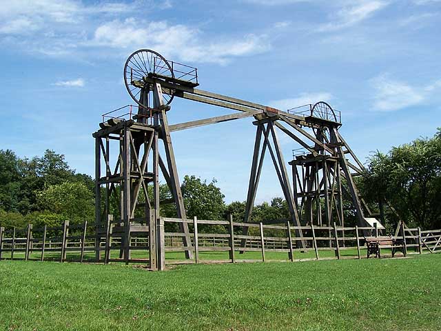
Brinsley Colliery
Brinsley Colliery was a coal mine in west Nottinghamshire, close to the boundary with Derbyshire, in what is now Broxtowe district. == History == It was...
Brinsley
Brinsley is a village and civil parish in Nottinghamshire, England. The church of St James was built in 1837–38 using Bunter sandstone from Mansfield quarries...
Ashfield District
Ashfield () is a local government district in Nottinghamshire, England. The council is based in Kirkby-in-Ashfield, but the largest town is neighbouring...
Bagthorpe, Nottinghamshire
Bagthorpe is a village in Nottinghamshire, England. It is in the civil parish of Selston. == See also == Listed buildings in Selston == External links... ==
Nearby Amenities
Located within 500m of 53.036732,-1.2958496Have you been to Hunt's Hill?
Leave your review of Hunt's Hill below (or comments, questions and feedback).