Great Haggs Plantation

Wood, Forest in Nottinghamshire Broxtowe

England

Great Haggs Plantation

Broad Lane Brinsley This is near the edge of Brinsley travelling towards Jacksdale.
Broad Lane Brinsley Credit: Malcolm Neal

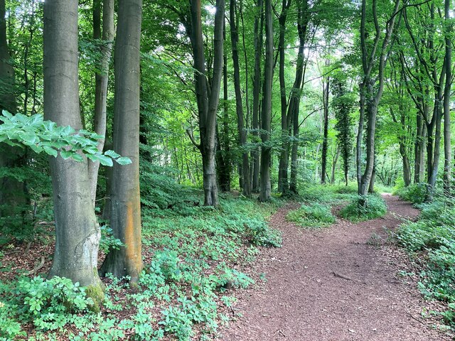
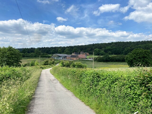
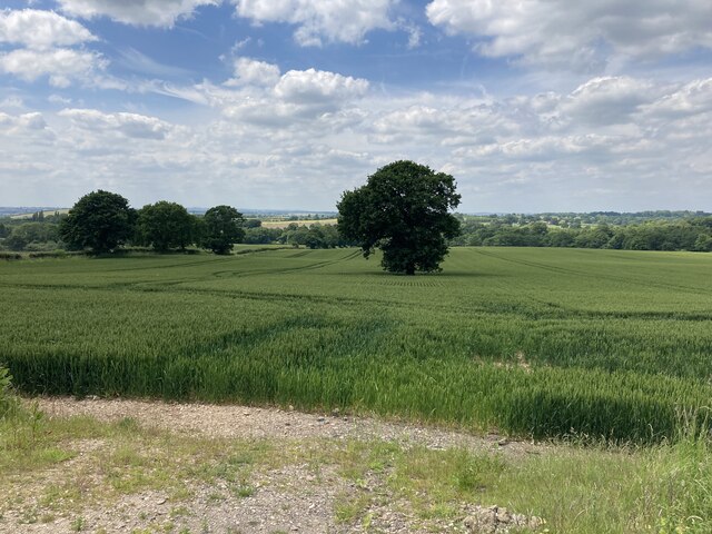
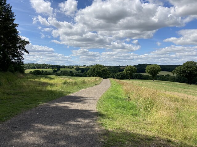
Great Haggs Plantation is a picturesque woodland located in Nottinghamshire, England. Situated within the wider Sherwood Forest, this plantation is renowned for its natural beauty and rich historical significance. Covering an expansive area, it is nestled amidst rolling hills and lush greenery, offering visitors a tranquil and serene escape from the bustling city life.

The woodland is predominantly composed of native tree species such as oak, birch, beech, and ash, forming a dense canopy that provides shade and shelter to a diverse range of flora and fauna. The plantation is characterized by its well-maintained trails and pathways, making it ideal for leisurely walks, jogging, and cycling. Nature enthusiasts will delight in the abundance of wildlife that calls this place home, including deer, squirrels, and various bird species.

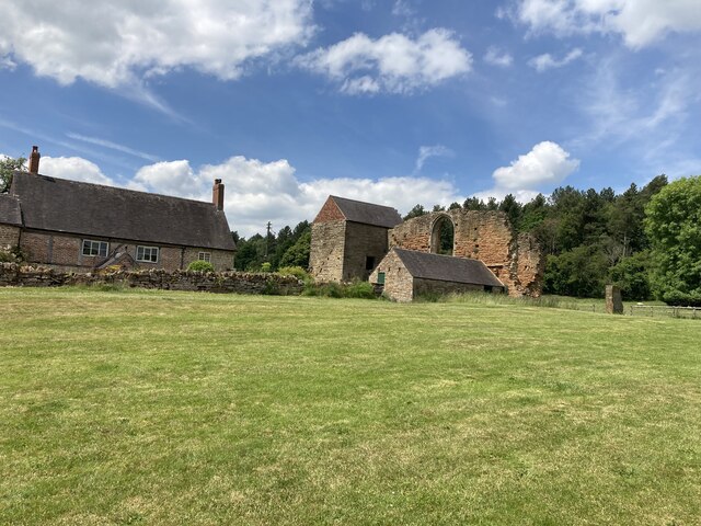
Great Haggs Plantation has a rich history dating back several centuries. It is believed to have been part of the ancient Sherwood Forest, famously associated with the legendary figure, Robin Hood. The woodland served as a hunting ground for medieval nobility and was later utilized for timber production during the industrial revolution. Today, it stands as a testament to Nottinghamshire's cultural heritage and its ongoing commitment to environmental preservation.

Visitors to Great Haggs Plantation can enjoy a range of recreational activities, including picnicking, birdwatching, and photography. The woodland's serene ambiance and picturesque surroundings make it a popular destination for families, nature lovers, and outdoor enthusiasts alike.

If you have any feedback on the listing, please let us know in the comments section below.

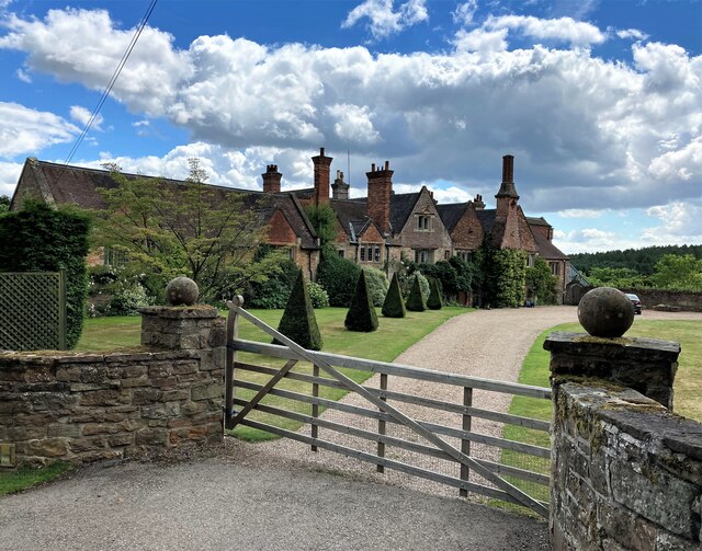
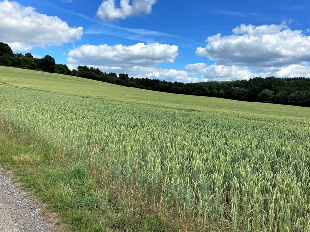
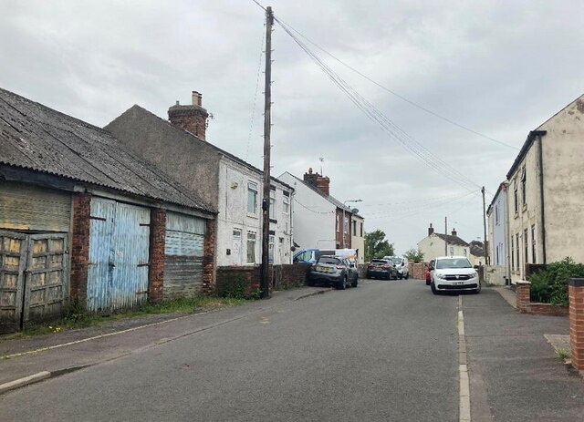
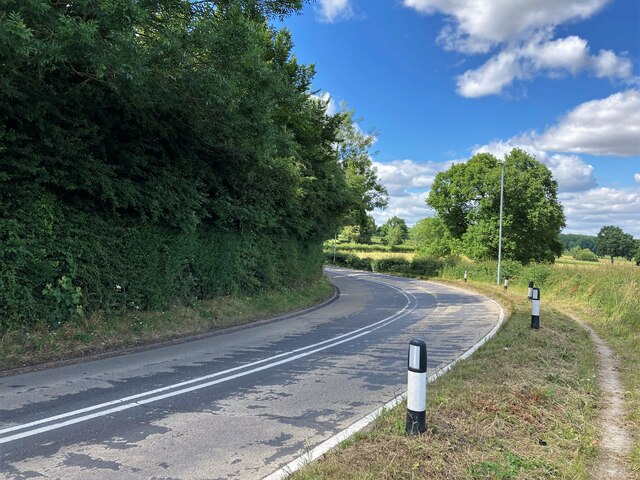
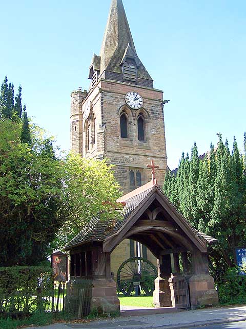
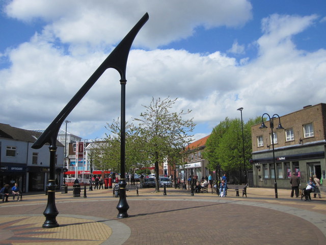
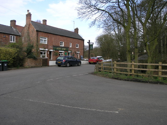
Great Haggs Plantation Images

Images are sourced within 2km of 53.043539/-1.2857154 or Grid Reference SK4749. Thanks to Geograph Open Source API. All images are credited.

Broad Lane Brinsley This is near the edge of Brinsley travelling towards Jacksdale.
Broad Lane Brinsley
This is near the edge of Brinsley travelling towards Jacksdale.
Main Road, Underwood One of many roads named Main Road, or Main Street in this area. Each village seems to have one.
Main Road, Underwood
One of many roads named Main Road, or Main Street in this area. Each village seems to have one.
Underwood Miners Welfare Club Social club and bus stop pictured from a busy road fork.
Underwood Miners Welfare Club
Social club and bus stop pictured from a busy road fork.
The Dog and Quayle Public House Pictured from a junction off the A608 Road on a fine afternoon in early July.
The Dog and Quayle Public House
Pictured from a junction off the A608 Road on a fine afternoon in early July.
Felley Priory Attractive historic building which still retains fragments of the original Augustinian priory layout. The site is noted for its gardens and cafe which was very welcoming on the day of my visit.
Felley Priory
Attractive historic building which still retains fragments of the original Augustinian priory layout. The site is noted for its gardens and cafe which was very welcoming on the day of my visit.
Logging on Felley Mill Lane Ongoing tree-clearance operation in woodland near Felley Priory.
Logging on Felley Mill Lane
Ongoing tree-clearance operation in woodland near Felley Priory.
Track and Bridleway near Felley Mill
Crop Field and Woodland near Felley Mill The wooded area beyond the field is evocatively named 'Pamela's Larches'.
Crop Field and Woodland near Felley Mill
The wooded area beyond the field is evocatively named 'Pamela's Larches'.
Palmerston Street in Underwood
Broad Lane Brinsley Broad Lane is a long straight road with a variety of different types of housing on both sides.
Broad Lane Brinsley
Broad Lane is a long straight road with a variety of different types of housing on both sides.
Woodland near Beauvale Priory Unofficial path is situated in an area of the wood marked as Callis Hagg. We are also close to Robin Hood's Well here although I didn't find any evidence on the ground today.
Woodland near Beauvale Priory
Unofficial path is situated in an area of the wood marked as Callis Hagg. We are also close to Robin Hood's Well here although I didn't find any evidence on the ground today.
Beauvale Priory and Abbey Farm Pictured from the access road to the south of the location. The priory can be seen by visitors when the tea room nearby is open. It wasn't on this day and I was shunted off.
Beauvale Priory and Abbey Farm
Pictured from the access road to the south of the location. The priory can be seen by visitors when the tea room nearby is open. It wasn't on this day and I was shunted off.
Remains of Beauvale Priory This priory was built for Carthusian monks in 1343 - one of only a handful to be built in England for this order. They resisted Henry VIII's Oath of Supremacy and two members of the charterhouse later achieved martyrdom. A small portion of the remains are located outside this grid square in SK4950.
Remains of Beauvale Priory
This priory was built for Carthusian monks in 1343 - one of only a handful to be built in England for this order. They resisted Henry VIII's Oath of Supremacy and two members of the charterhouse later achieved martyrdom. A small portion of the remains are located outside this grid square in SK4950.
Farmland near Colliers Wood Pictured from a field entrance off New Road. Moorgreen Reservoir is located in the middle distance but out of sight here.
Farmland near Colliers Wood
Pictured from a field entrance off New Road. Moorgreen Reservoir is located in the middle distance but out of sight here.
View Towards Felley Mill and Priory One of Nottinghamshire's fabled 'hidden valleys'. The spire of Underwood church can just be deciphered on the mid-horizon.
View Towards Felley Mill and Priory
One of Nottinghamshire's fabled 'hidden valleys'. The spire of Underwood church can just be deciphered on the mid-horizon.
Bridleway in High Park Wood This path follows the bank of Moorgreen Reservoir which is out of picture to the right.
Bridleway in High Park Wood
This path follows the bank of Moorgreen Reservoir which is out of picture to the right.
Sharp Bend on the B600 Road Pictured close to Moorgreen Reservoir which is just out of picture to the right.
Sharp Bend on the B600 Road
Pictured close to Moorgreen Reservoir which is just out of picture to the right.
Track Junction and fields near Willey Wood Farm Looking south towards Eastwood where the Church of St. Mary can be seen on the centre horizon.
Track Junction and fields near Willey Wood Farm
Looking south towards Eastwood where the Church of St. Mary can be seen on the centre horizon.
Show me another place!

Great Haggs Plantation is located at Grid Ref: SK4749 (Lat: 53.043539, Lng: -1.2857154)

Administrative County: Nottinghamshire

District: Broxtowe

Police Authority: Nottinghamshire

What 3 Words

///class.crop.future. Near Eastwood, Nottinghamshire

Related Wikis

Underwood, Nottinghamshire

Underwood is a hilltop village within the civil parish of Selston in the English ceremonial county of Nottinghamshire. The village is a ward of Ashfield...

Church of St Michael and All Angels, Underwood

The Church of St Michael and All Angels, Underwood is a parish church in the Church of England in Underwood, Nottinghamshire. The church is Grade II listed...

Ashfield District

Ashfield () is a local government district in Nottinghamshire, England. The council is based in Kirkby-in-Ashfield, but the largest town is neighbouring...

Bagthorpe, Nottinghamshire

Bagthorpe is a village in Nottinghamshire, England. It is in the civil parish of Selston. == See also == Listed buildings in Selston == External links... ==

Beauvale

Beauvale, or Beauvale Newthorpe, is a village in Nottinghamshire, England. It is located 1 mile to the east of Eastwood. It is in Greasley parish. Beauvale...

Beauvale Priory

Beauvale Priory (also known as Beauvale Charterhouse) was a Carthusian monastery in Beauvale, Nottinghamshire. It is a scheduled ancient monument. ��2...

Felley Priory

Felley Priory is a 16th century house with gardens located in the village of Felley, Nottinghamshire, UK. It is situated on the grounds of a former priory...

Felley

Felley is a civil parish in the Ashfield district, in Nottinghamshire, England, located between Hucknall and Sutton-in-Ashfield. According to the 2001...

Nearby Amenities

Located within 500m of 53.043539,-1.2857154
Note: new fence blocks path
Lat/Long: 53.041955/-1.278775
Note: updated as there is no fence blocking this path
Lat/Long: 53.0410904/-1.279712
The data included in this document is from www.openstreetmap.org. The data is made available under ODbL.

Have you been to Great Haggs Plantation?

Leave your review of Great Haggs Plantation below (or comments, questions and feedback).