Cockle Hill

Hill, Mountain in Yorkshire Hambleton

England

Cockle Hill

View from Locker Bank View from the edge of the grouse moor along the eastern slopes of Black Hambleton, the northernmost extension of the Hambleton Hills. Scattered oak and birch woodland in the middle distance is Bawderis Wood.
View from Locker Bank Credit: Gordon Hatton

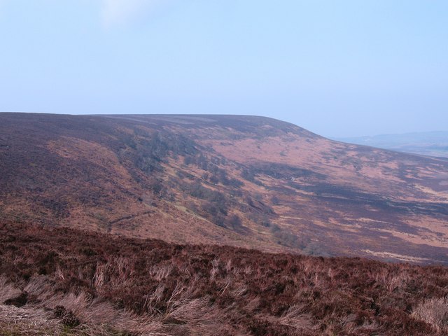
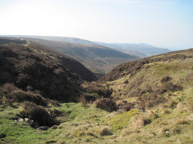
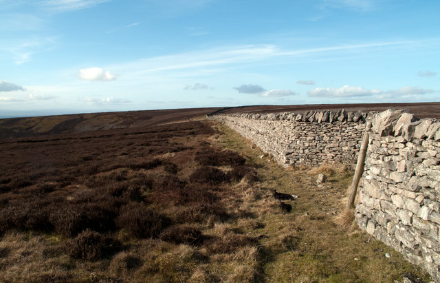
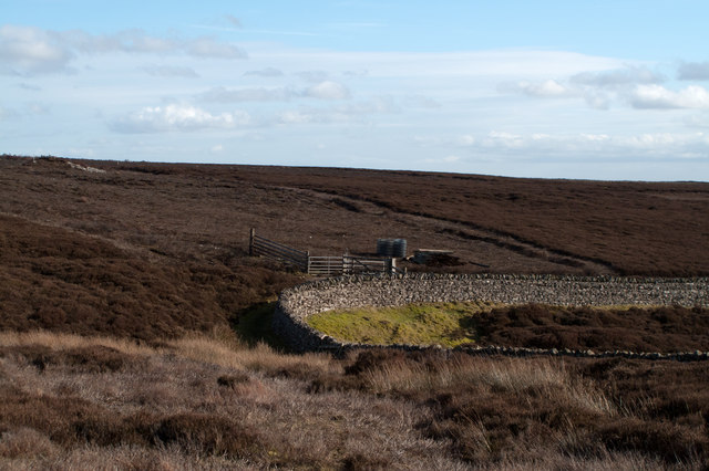
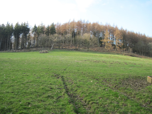
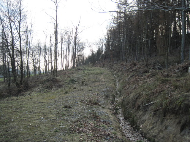
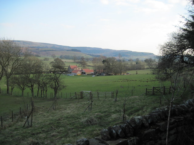
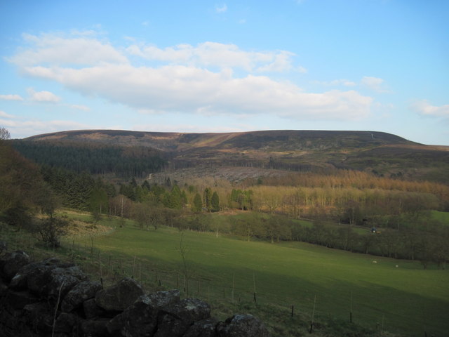
Cockle Hill is a prominent hill located in the county of Yorkshire, England. Situated in the Yorkshire Dales National Park, it is known for its picturesque beauty and breathtaking views of the surrounding countryside. Rising to an elevation of approximately 415 meters (1,362 feet), it is considered a significant landmark in the region.

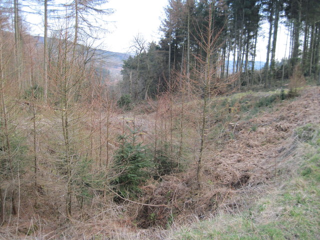
The hill is characterized by its rolling slopes and lush green meadows, which are dotted with wildflowers during the summer months. It is primarily composed of limestone, giving it a distinctive appearance and attracting geology enthusiasts from far and wide.

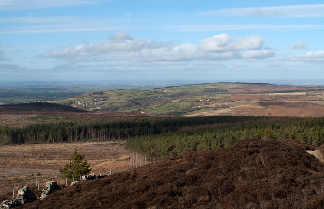
Cockle Hill offers a range of activities for outdoor enthusiasts. Hikers and walkers can explore the numerous footpaths and trails that crisscross the hill, offering stunning vistas along the way. The summit provides panoramic views of the Yorkshire Dales, with the River Wharfe meandering through the valley below.

Wildlife is abundant in the area, making it a haven for nature lovers. Visitors may catch glimpses of various bird species, including peregrine falcons and kestrels, as well as mammals such as hares and deer.

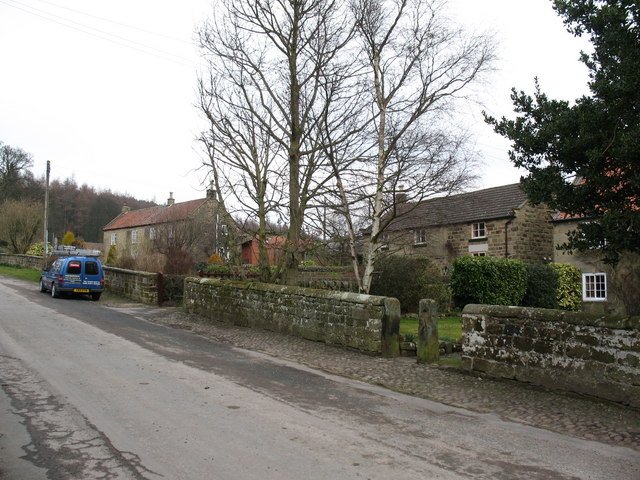
The hill is easily accessible, with parking available nearby and a well-maintained path leading to the summit. It is a popular destination for both locals and tourists, offering a peaceful retreat from the hustle and bustle of everyday life.

In conclusion, Cockle Hill is a captivating natural landmark in Yorkshire, renowned for its scenic beauty, geological significance, and recreational opportunities. Whether one seeks a leisurely stroll or a challenging hike, this hill offers a memorable experience for all who visit.

If you have any feedback on the listing, please let us know in the comments section below.
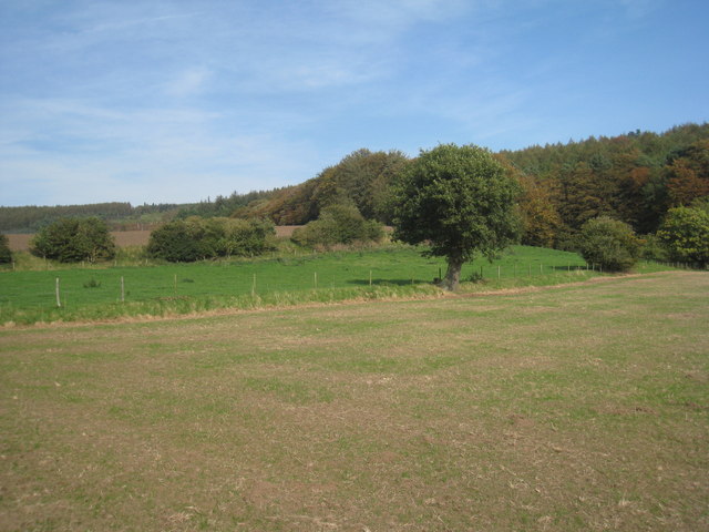
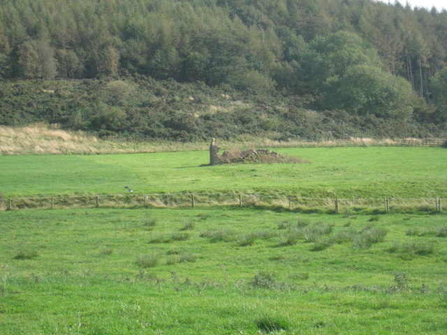
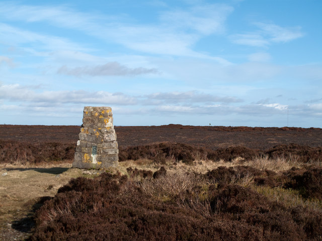
Cockle Hill Images

Images are sourced within 2km of 54.337022/-1.2751464 or Grid Reference SE4793. Thanks to Geograph Open Source API. All images are credited.

View from Locker Bank View from the edge of the grouse moor along the eastern slopes of Black Hambleton, the northernmost extension of the Hambleton Hills. Scattered oak and birch woodland in the middle distance is Bawderis Wood.
View from Locker Bank
View from the edge of the grouse moor along the eastern slopes of Black Hambleton, the northernmost extension of the Hambleton Hills. Scattered oak and birch woodland in the middle distance is Bawderis Wood.
White  Gill  Head This dramatic view is often missed by walkers going along the track known as Hambleton Street, which is a few yards above and behind me.It is also part of the long distance footpath, The Cleveland Way.
White Gill Head
This dramatic view is often missed by walkers going along the track known as Hambleton Street, which is a few yards above and behind me.It is also part of the long distance footpath, The Cleveland Way.
Bodiless invaders (or two Geograph-ers on bikes) The churchyard wall at Over Silton.
Bodiless invaders (or two Geograph-ers on bikes)
The churchyard wall at Over Silton.
St. Mary's, Over Silton An essentially Norman church though much modified during the thirteenth and fourteenth centuries. The mounting block shows little sign of use.
St. Mary's, Over Silton
An essentially Norman church though much modified during the thirteenth and fourteenth centuries. The mounting block shows little sign of use.
View from the churchyard Over Silton.
View from the churchyard
Over Silton.
Remains of a field barn Near St. Mary's church.
Remains of a field barn
Near St. Mary's church.
Thimbleby Bank The view from Thimbleby Bank.
Thimbleby Bank
The view from Thimbleby Bank.
Cleveland Way heading north Here the Cleveland Way uses the dirt road, Hambleton Street. It follows the western edge of the North Yorks Moors National Park with undulating moorland to the east and, out of view, the steeper slope descending to farmland in the west.
Cleveland Way heading north
Here the Cleveland Way uses the dirt road, Hambleton Street. It follows the western edge of the North Yorks Moors National Park with undulating moorland to the east and, out of view, the steeper slope descending to farmland in the west.
Forestry Plantations on Nether Silton Moor An extensive area of coniferous plantation occupies what were once moorland slopes above the villages of Over Silton and Nether Silton on the western fringe of the North Yorks Moors. This view is to the north from beside the Cleveland Way.
Forestry Plantations on Nether Silton Moor
An extensive area of coniferous plantation occupies what were once moorland slopes above the villages of Over Silton and Nether Silton on the western fringe of the North Yorks Moors. This view is to the north from beside the Cleveland Way.
Trig point of Dodd End The trig point at Dodd End stands on heather moorland at the northern end of a plateau of such ground known as Black Hambleton. To the right of the image can be seen the tall mast of the Bilsdale transmitter on quite another piece of moorland.
Trig point of Dodd End
The trig point at Dodd End stands on heather moorland at the northern end of a plateau of such ground known as Black Hambleton. To the right of the image can be seen the tall mast of the Bilsdale transmitter on quite another piece of moorland.
Wall bounding Hambleton Street Here the route of the Cleveland Way follows the old road known as Hambleton Street, which is on the other side of the wall. There's heather moorland to both sides of the wall and road.
Wall bounding Hambleton Street
Here the route of the Cleveland Way follows the old road known as Hambleton Street, which is on the other side of the wall. There's heather moorland to both sides of the wall and road.
White Gill Head White Gill Head is the source of White Gill, a stream draining south-west on Kepwick Moor. Beyond the wall is a gate across the route of the Cleveland Way with posts and rolls of fence wire awaiting installation.
White Gill Head
White Gill Head is the source of White Gill, a stream draining south-west on Kepwick Moor. Beyond the wall is a gate across the route of the Cleveland Way with posts and rolls of fence wire awaiting installation.
Stone  Roller  at  the  Cricket  Field Not sure if it is still in use, the village school is behind the field wall.
Stone Roller at the Cricket Field
Not sure if it is still in use, the village school is behind the field wall.
Knipes  Hill  from  Moor  Lane
Knipes Hill from Moor Lane
Forest  Track  on  Knipes  Hill This is a very large patch of forestry, coming west from the bulk of Hambleton End down to the villages of Over Silton and Nether Silton
Forest Track on Knipes Hill
This is a very large patch of forestry, coming west from the bulk of Hambleton End down to the villages of Over Silton and Nether Silton
Hunter's  Hill  from  Forestry The track through the trees dips to the field wall at this point
Hunter's Hill from Forestry
The track through the trees dips to the field wall at this point
Moorland  Valley Fields down to Sorrow Beck and beyond forestry and the bulk of Black Hambleton
Moorland Valley
Fields down to Sorrow Beck and beyond forestry and the bulk of Black Hambleton
Mother  Gill  Crabtree  Bank  Plantation Water in the bottom but overgrown
Mother Gill Crabtree Bank Plantation
Water in the bottom but overgrown
Show me another place!

Cockle Hill is located at Grid Ref: SE4793 (Lat: 54.337022, Lng: -1.2751464)

Division: North Riding

Administrative County: North Yorkshire

District: Hambleton

Police Authority: North Yorkshire

What 3 Words

///uppermost.squeaks.lottery. Near Brompton, North Yorkshire

Related Wikis

Nether Silton

Nether Silton is a village and civil parish in the Hambleton District of North Yorkshire, England. It lies 6 miles (9.7 km) east of Northallerton, on...

Over Silton Manor

Over Silton Manor is in the middle of the village of Over Silton in North Yorkshire, England. "The village of Over silton, 1994;39" == History == There...

Over Silton

Over Silton is a village and civil parish in the Hambleton district of North Yorkshire, England, about 6 miles (9.7 km) east of Northallerton and on the...

Kepwick

Kepwick is a village and civil parish in the Hambleton district of North Yorkshire, England, on the North York Moors and near the A19. The population according...

Nearby Amenities

Located within 500m of 54.337022,-1.2751464
Ncn Milepost: mills
Source: survey
Sustrans Ref: MP180
Lat/Long: 54.3401603/-1.2797645
The data included in this document is from www.openstreetmap.org. The data is made available under ODbL.

Have you been to Cockle Hill?

Leave your review of Cockle Hill below (or comments, questions and feedback).