Burrow Hill
Hill, Mountain in Hampshire Eastleigh
England
Burrow Hill
Burrow Hill, located in Hampshire, England, is a picturesque hill that offers breathtaking views of the surrounding countryside. Standing at an elevation of approximately 134 meters (440 feet), it is not classified as a mountain but rather a hill.
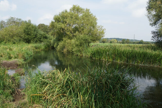
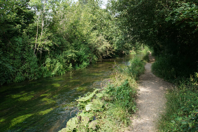
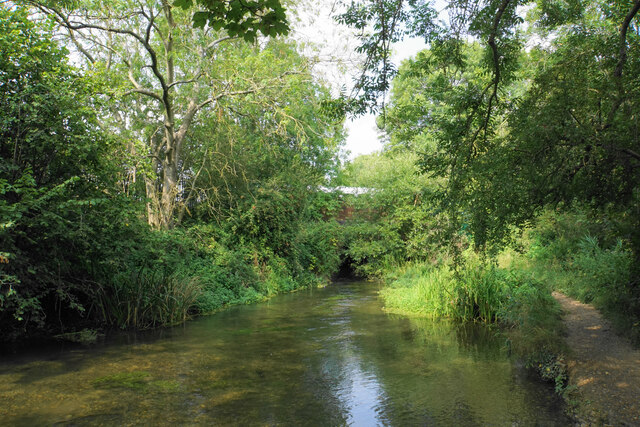
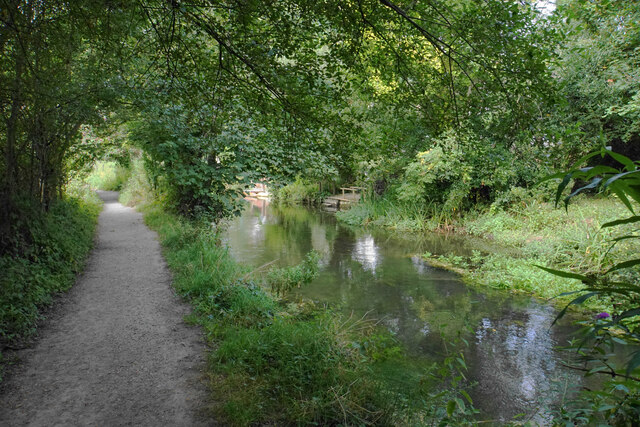
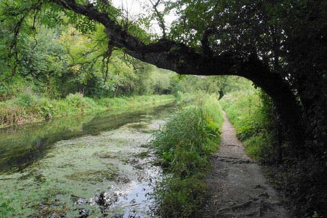
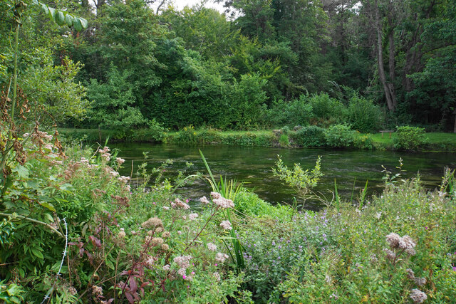
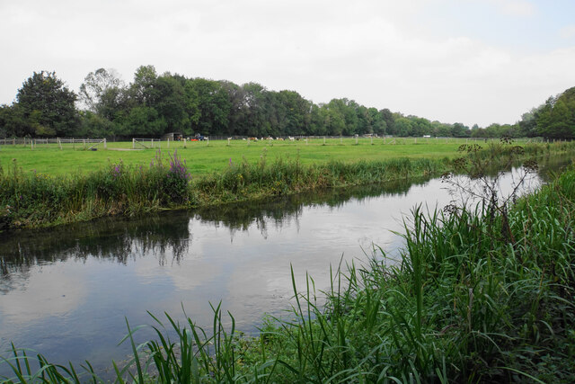
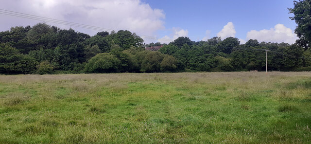
The hill is characterized by its gently sloping sides and lush greenery, making it a popular destination for hikers and nature enthusiasts. It is situated in close proximity to the charming village of Burrow, which adds to its appeal.
Burrow Hill is known for its rich history, dating back to ancient times. Archaeological evidence suggests that it was inhabited by humans during the Bronze Age, and remnants of settlements and burial sites have been discovered in the area. The hill also played a significant role during the medieval period, serving as a strategic location for defensive purposes.
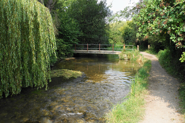
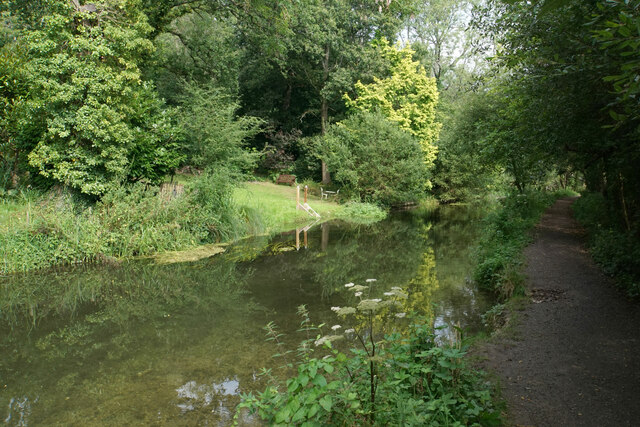
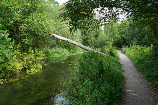
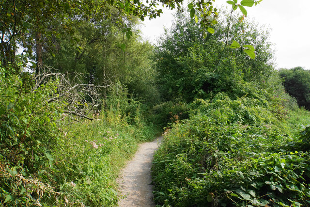
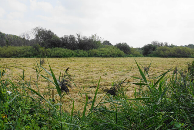
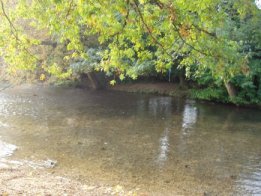
Today, visitors to Burrow Hill can explore its well-maintained footpaths, which lead to the summit. From the top, one can enjoy panoramic views of the Hampshire countryside, including rolling hills, farmlands, and quaint villages. The hill is particularly popular during the spring and summer months when wildflowers bloom, creating a vibrant tapestry of colors.
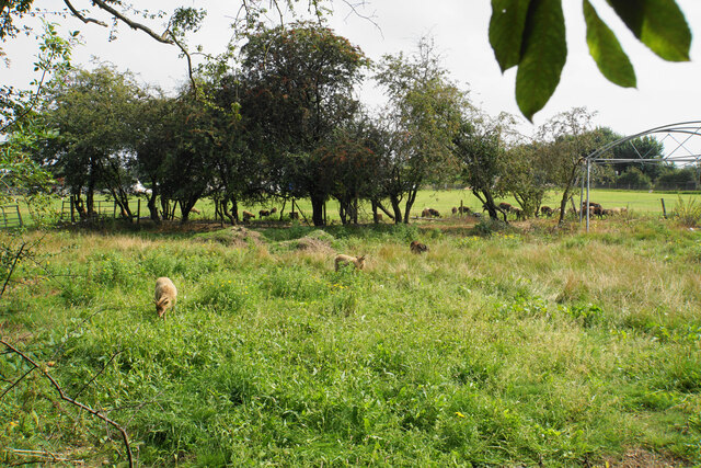
In addition to its natural beauty, Burrow Hill is home to a variety of wildlife, including birds, rabbits, and deer. It is a designated Area of Outstanding Natural Beauty, ensuring its preservation and protection for future generations to enjoy. Whether for a leisurely stroll, a challenging hike, or simply a moment of tranquility in nature, Burrow Hill offers an idyllic retreat for all who visit.
If you have any feedback on the listing, please let us know in the comments section below.
Burrow Hill Images
Images are sourced within 2km of 50.979171/-1.3333083 or Grid Reference SU4620. Thanks to Geograph Open Source API. All images are credited.


Burrow Hill is located at Grid Ref: SU4620 (Lat: 50.979171, Lng: -1.3333083)
Administrative County: Hampshire
District: Eastleigh
Police Authority: Hampshire
What 3 Words
///lies.menu.circle. Near Bishopstoke, Hampshire
Nearby Locations
Related Wikis

St Mary's Church, Bishopstoke
The Church of St Mary's is an Anglican Church in Bishopstoke, Hampshire. St Mary's was designed by Edward Prioleau Warren and built during 1890/91 by Wheeler...
Bishopstoke
Bishopstoke is a village and civil parish in the Eastleigh district of Hampshire, England. It is recorded as "Stoke" as early as 948 AD when King Eadred...
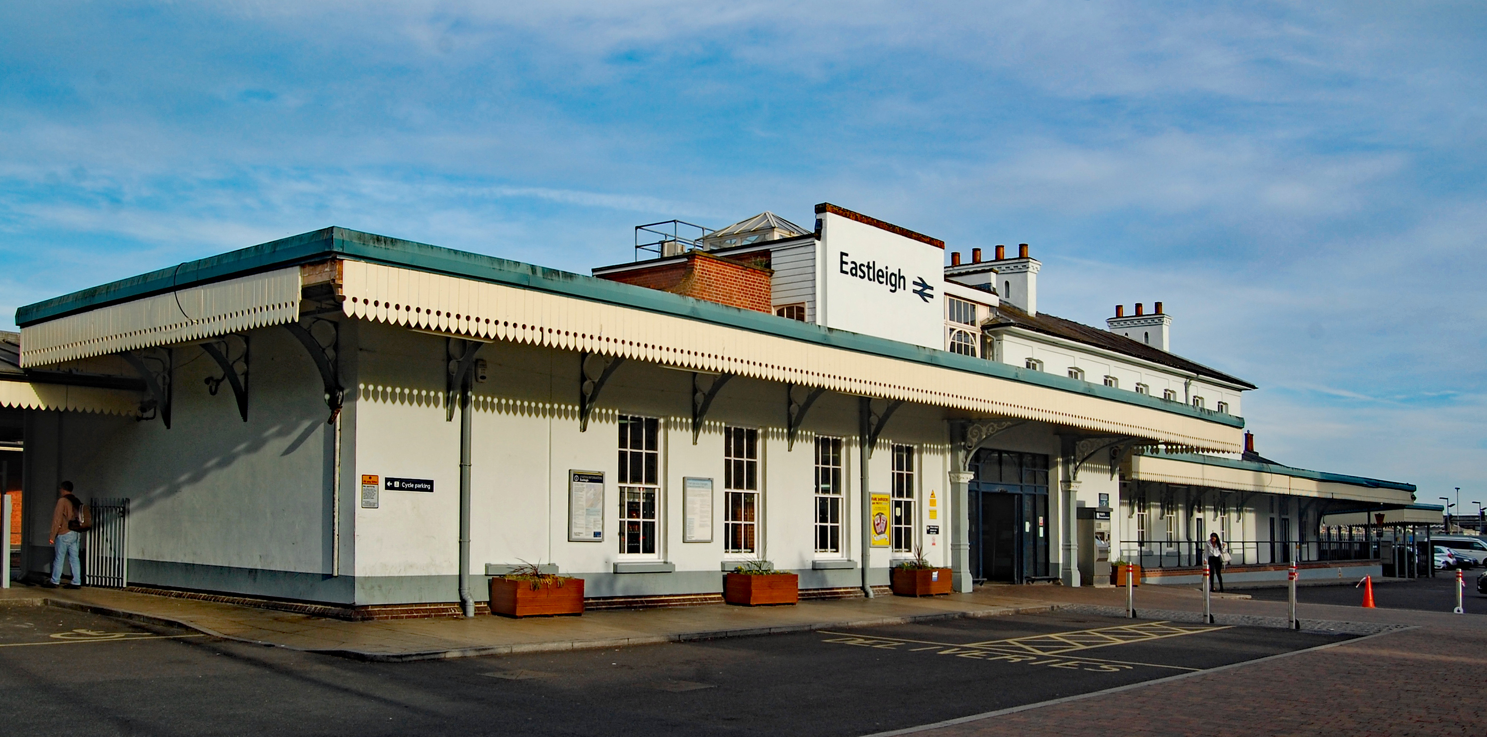
Eastleigh railway station
Eastleigh railway station serves the town of Eastleigh in the county of Hampshire in England. It is located on the South West Main Line and is the junction...

Eastleigh
Eastleigh is a town in Hampshire, England, between Southampton and Winchester. It is the largest town and the administrative seat of the Borough of Eastleigh...

Boyatt Wood
Boyatt Wood is a small residential area and civil parish north-west of Eastleigh in Hampshire named locally after the wooded area to the south of Boyatt...

The Point, Eastleigh
The Point is a theatre and dance studio for contemporary performance and contemporary dance at Eastleigh in Hampshire, England, operating under the auspices...

Eastleigh Museum
Eastleigh Museum was a museum situated in Eastleigh, a town in Hampshire, England, which opened in October 1986. In 2014, ownership of the Eastleigh Museum...
Allbrook
Allbrook is a settlement and civil parish in the Borough of Eastleigh in Hampshire, England. == Governance == Before 1974 the area formed part of the municipal...
Nearby Amenities
Located within 500m of 50.979171,-1.3333083Have you been to Burrow Hill?
Leave your review of Burrow Hill below (or comments, questions and feedback).