Hill of the Standing Stone
Hill, Mountain in Shetland
Scotland
Hill of the Standing Stone

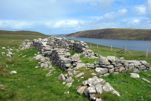
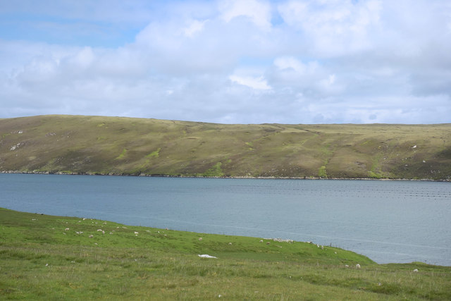
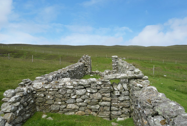
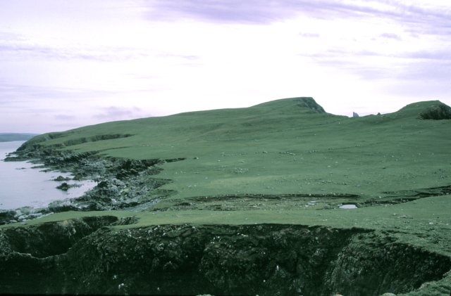
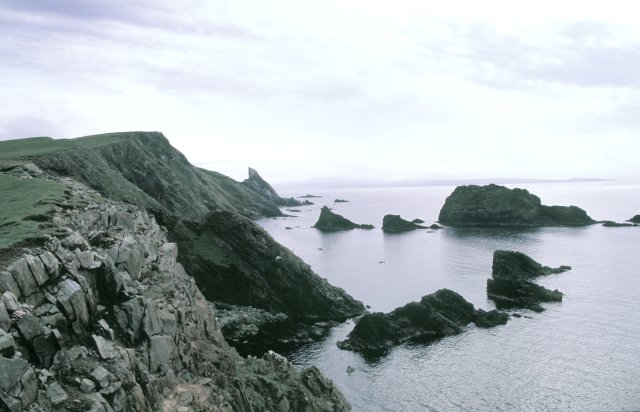
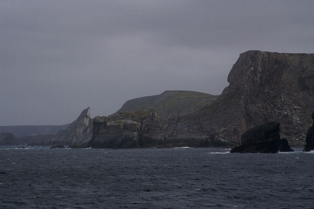
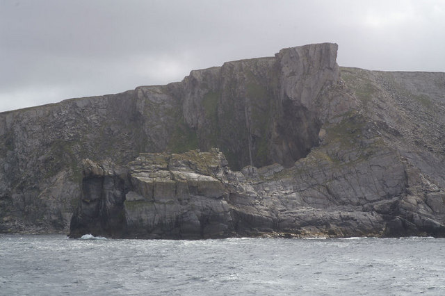
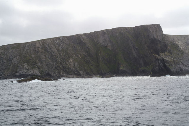
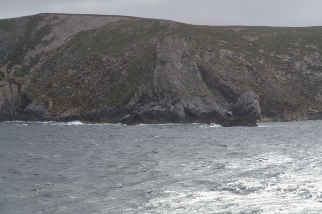
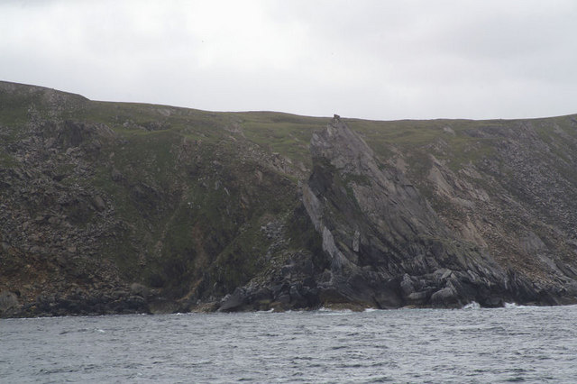
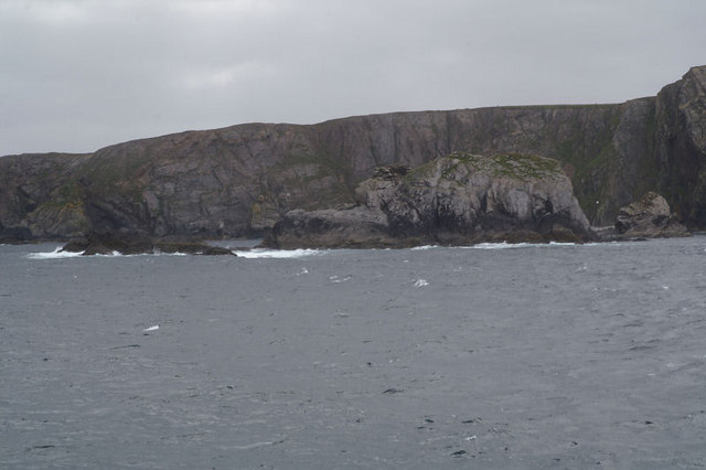
The Hill of the Standing Stone is a prominent landmark located in the Shetland Islands, an archipelago off the northeast coast of Scotland. Situated in the central part of the main island, known as Mainland, this hill stands at an elevation of approximately 259 meters (850 feet). It is classified as a hill rather than a mountain due to its height, although it offers breathtaking panoramic views of the surrounding landscape.
The name of the hill derives from the presence of a standing stone at its summit, which is believed to have been erected during the Bronze Age, around 4,000 years ago. The stone stands at about 2.4 meters (8 feet) tall and is a testament to the island's ancient history and cultural heritage.
Reaching the Hill of the Standing Stone requires a moderate hike, with a well-marked trail leading from the base to the top. The path is surrounded by lush vegetation and offers glimpses of the diverse flora and fauna found in the area. The hill is a popular destination for both locals and tourists, attracting nature enthusiasts, hikers, and history buffs.
Upon reaching the summit, visitors are rewarded with breathtaking views of the surrounding countryside, including the rolling hills, picturesque valleys, and the sparkling waters of the North Sea. On clear days, it is even possible to spot neighboring islands in the distance.
Overall, the Hill of the Standing Stone is a significant landmark in the Shetland Islands, offering a glimpse into the region's ancient past and commanding stunning views of the surrounding natural beauty.
If you have any feedback on the listing, please let us know in the comments section below.
Hill of the Standing Stone Images
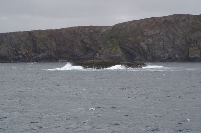
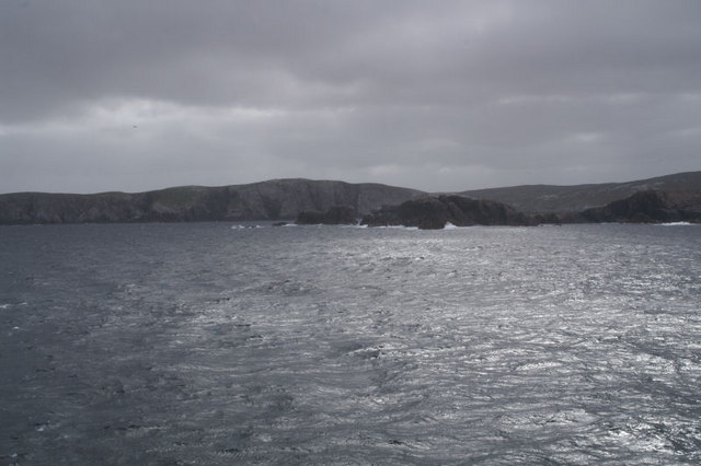
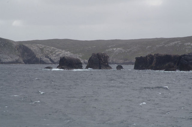
Images are sourced within 2km of 60.647664/-1.165384 or Grid Reference HU4596. Thanks to Geograph Open Source API. All images are credited.


Hill of the Standing Stone is located at Grid Ref: HU4596 (Lat: 60.647664, Lng: -1.165384)
Unitary Authority: Shetland Islands
Police Authority: Highlands and Islands
What 3 Words
///orchids.passing.composts. Near Gutcher, Shetland Islands
Nearby Locations
Related Wikis

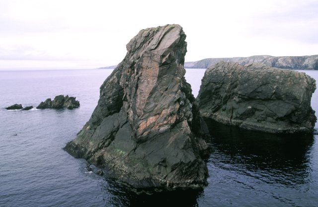
Ern Stack
Ern Stack is a sea stack off Yell, in Shetland, Scotland. The word "ern" means an eagle (it is a cognate of, for example, Swedish "örn"), and it is said...

Yell, Shetland
Yell (Scots: Yell) is one of the North Isles of Shetland, Scotland. In the 2011 census it had a usually resident population of 966. It is the second largest...

Basta, Shetland
Basta is a hamlet on the island of Yell in the Shetland islands of Scotland. It is on the shores of Basta Voe and is in the parish of Yell. == References... ==

West Sandwick
West Sandwick is a settlement on the island of Yell, Shetland Islands, Scotland. It is one of the few settlements in the west of the island. West Sandwick...
Nearby Amenities
Located within 500m of 60.647664,-1.165384Have you been to Hill of the Standing Stone?
Leave your review of Hill of the Standing Stone below (or comments, questions and feedback).