Far Hill Top

Hill, Mountain in Yorkshire Hambleton

England

Far Hill Top

Cowesby village Sandstone houses with pantile roofs are a feature of this tiny village nestled at the base of the Hambleton Hills.
Cowesby village Credit: Gordon Hatton

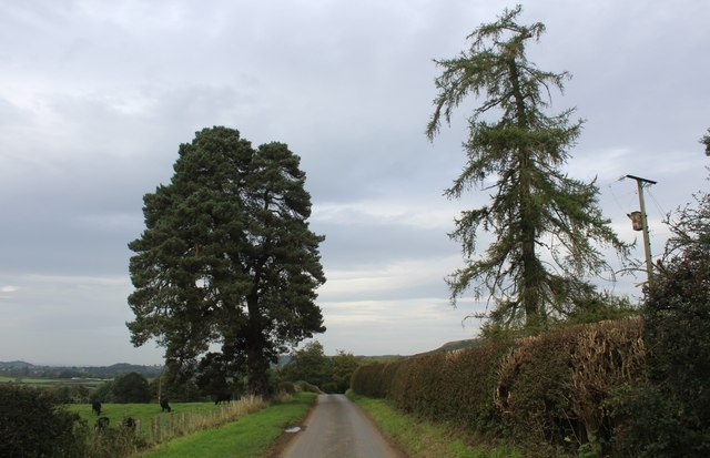
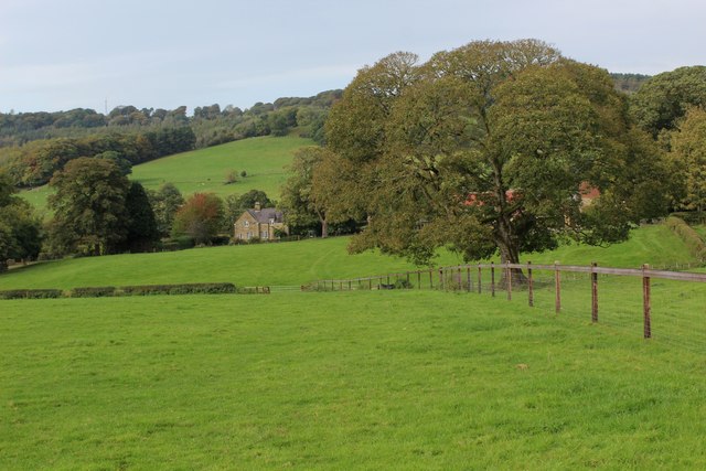
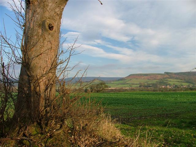
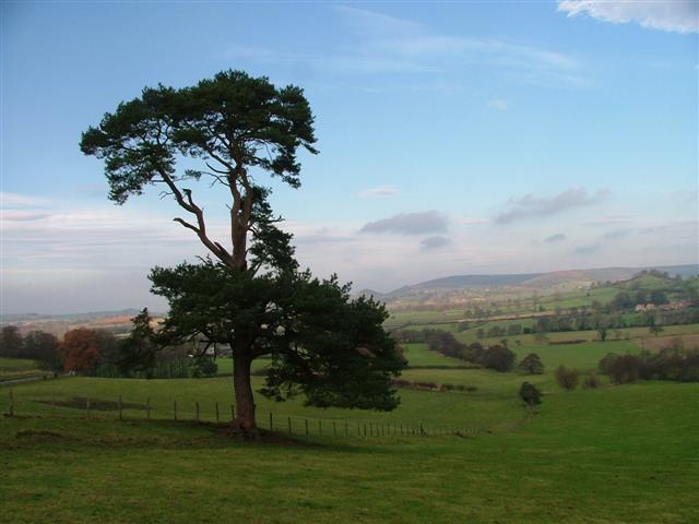
Far Hill Top is a picturesque hill located in the region of Yorkshire, England. Situated amidst the stunning countryside, it stands tall at an elevation of approximately 500 meters above sea level, making it a prominent landmark in the area. The hill offers breathtaking panoramic views of the surrounding landscape, including lush green valleys, rolling hills, and distant peaks.

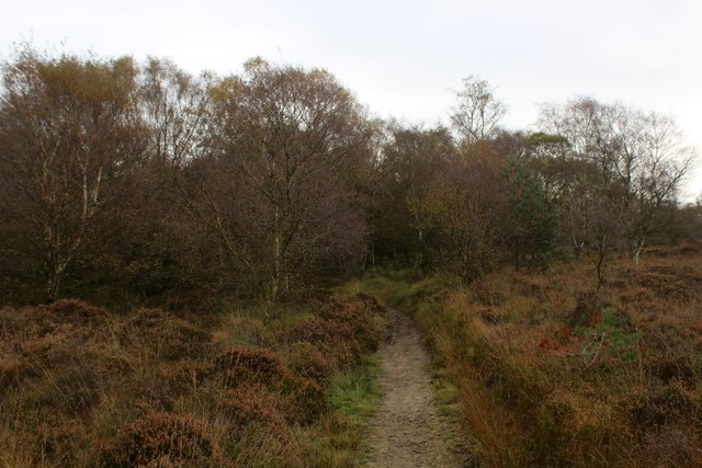
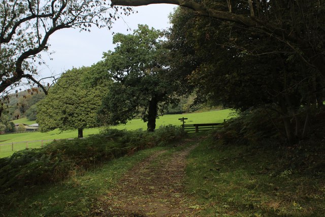
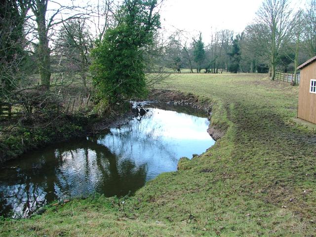
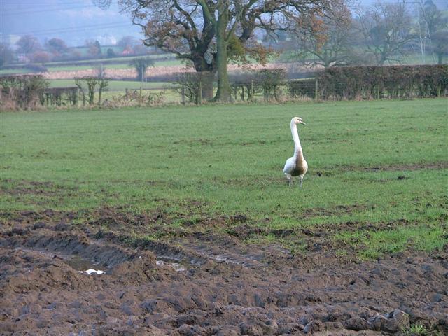
Covered in a patchwork of vibrant green meadows, Far Hill Top is a haven for nature enthusiasts. The hill is home to a diverse range of flora and fauna, making it an ideal destination for wildlife enthusiasts and birdwatchers. Visitors can spot various bird species, including skylarks and buzzards, soaring across the sky.

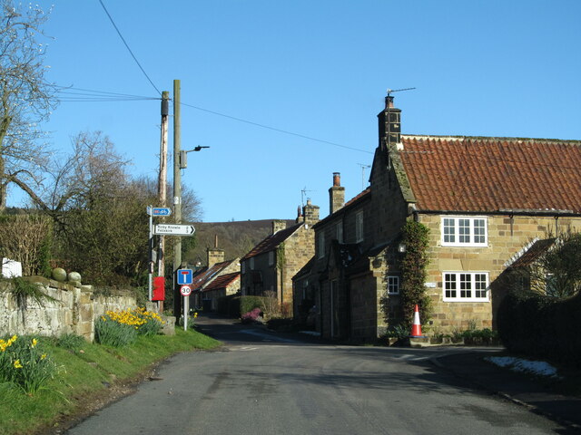
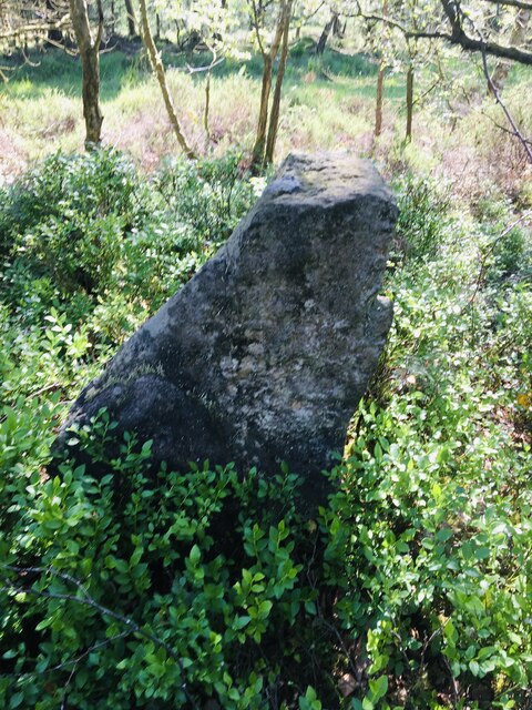
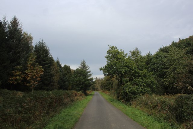
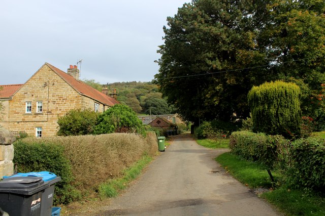
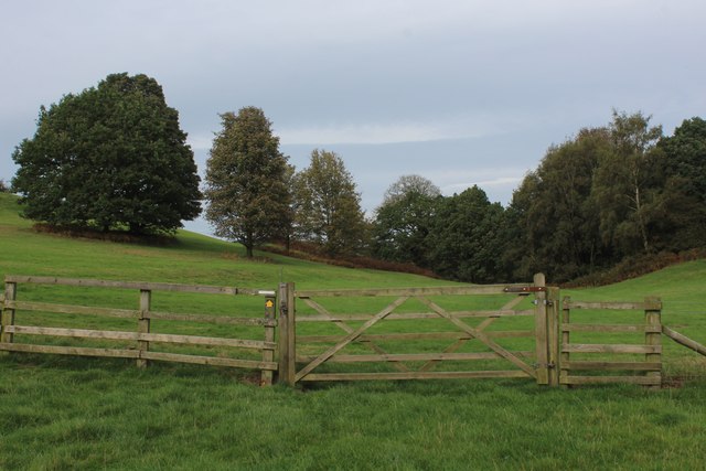
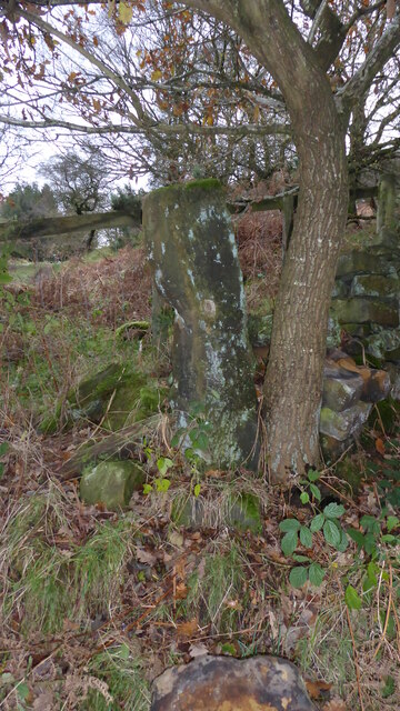
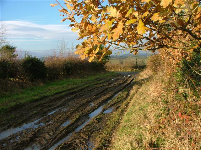
The hill is easily accessible by a well-maintained footpath that winds its way up to the summit. As one ascends, they can witness the changing landscape and enjoy the tranquility of the countryside. At the top, a stone marker provides information about the hill and its surrounding areas, adding an educational touch to the visit.

Far Hill Top is also a popular spot for outdoor activities such as hiking and picnicking. The hill's gentle slopes and well-marked trails cater to both experienced hikers and families looking for a leisurely stroll. Its serene ambiance and breathtaking views make it an ideal location for a peaceful picnic amidst nature.

Overall, Far Hill Top in Yorkshire offers visitors a chance to immerse themselves in the beauty of the English countryside. Its natural splendor, diverse wildlife, and accessibility make it a must-visit destination for anyone seeking a tranquil and scenic escape.

If you have any feedback on the listing, please let us know in the comments section below.

Far Hill Top Images

Images are sourced within 2km of 54.287029/-1.300034 or Grid Reference SE4588. Thanks to Geograph Open Source API. All images are credited.

Cowesby village Sandstone houses with pantile roofs are a feature of this tiny village nestled at the base of the Hambleton Hills.
Cowesby village
Sandstone houses with pantile roofs are a feature of this tiny village nestled at the base of the Hambleton Hills.
Old Boundary Marker on Kirby Knowle Moor Boundary Marker on Kirby Knowle Moor, 240 metres south of Cote Hill. On the boundary of Kirby Knowle and Boltby parishes.

Milestone Society National ID: YN_KKNBO01bm
Old Boundary Marker on Kirby Knowle Moor
Boundary Marker on Kirby Knowle Moor, 240 metres south of Cote Hill. On the boundary of Kirby Knowle and Boltby parishes. Milestone Society National ID: YN_KKNBO01bm
Bridleway on Kirby Knowle Moor
Brickshed Cottage Isolated dwelling located at the foot of the North York Moors escarpment and below Boltby Forest.
Brickshed Cottage
Isolated dwelling located at the foot of the North York Moors escarpment and below Boltby Forest.
Ruddings Lane Section of quiet country lane between Kirby Knowle and Cowesby - outside Brickshed Cottage
Ruddings Lane
Section of quiet country lane between Kirby Knowle and Cowesby - outside Brickshed Cottage
Ingdale Lane in Gutta Wood Section of quiet country lane between Kirby Knowle and Cowesby
Ingdale Lane in Gutta Wood
Section of quiet country lane between Kirby Knowle and Cowesby
On the Edge of Wind Egg Plantation What a wonderful name for a stretch of woodland!
Here, a footpath on the edge of the plantation is approaching a fingerpost pointing in four directions - two routes arrive in Kirby Knowle, a bridleway takes a circuitous route to Boltby and the final path aims for West Acre Lodge.
On the Edge of Wind Egg Plantation
What a wonderful name for a stretch of woodland! Here, a footpath on the edge of the plantation is approaching a fingerpost pointing in four directions - two routes arrive in Kirby Knowle, a bridleway takes a circuitous route to Boltby and the final path aims for West Acre Lodge.
Whinmoor Hill Access lane leading up to Manor House Farm in Kirby Knowle
Whinmoor Hill
Access lane leading up to Manor House Farm in Kirby Knowle
Footpath heading down to Kirby Knowle The footpath follows the fence towards the village of Kirby Knowle from Wind Egg Plantation
Footpath heading down to Kirby Knowle
The footpath follows the fence towards the village of Kirby Knowle from Wind Egg Plantation
Knowle Hill A footpath runs through the five bar gate towards Wind Egg Plantation
Knowle Hill
A footpath runs through the five bar gate towards Wind Egg Plantation
Old Boundary Marker between Brickshed Cottage and Seta Pike Boundary Marker at the end of a drystone wall on the north side of the bridleway between Brickshed Cottage and Seta Pike. On the boundary of Kirby Knowle and Cowesby parishes. Marked as a boundary stone on old and current Ordnance Survey Maps. The stone has no inscription and could just be a gate post.

Milestone Society National ID: YN_KKCO03bm
Old Boundary Marker between Brickshed Cottage and Seta Pike
Boundary Marker at the end of a drystone wall on the north side of the bridleway between Brickshed Cottage and Seta Pike. On the boundary of Kirby Knowle and Cowesby parishes. Marked as a boundary stone on old and current Ordnance Survey Maps. The stone has no inscription and could just be a gate post. Milestone Society National ID: YN_KKCO03bm
Kirby Knowle  church The church is dedicated to St Wilfrid.
Kirby Knowle church
The church is dedicated to St Wilfrid.
Cowesby Beck View west from the bridge leading to the Cleveland Rein.
Cowesby Beck
View west from the bridge leading to the Cleveland Rein.
Mucky Duck, in a Field Just off the Cleveland Rein. The Cleveland Rein is the name of a lane. The swan had been paddling in the mud until I disturbed it.
Mucky Duck, in a Field Just off the Cleveland Rein.
The Cleveland Rein is the name of a lane. The swan had been paddling in the mud until I disturbed it.
Bank Lane A track seemingly going nowhere but heavily used by the farmer. View north towards the junction with the unclassified road.
Bank Lane
A track seemingly going nowhere but heavily used by the farmer. View north towards the junction with the unclassified road.
View North From Moor Road The village of Cowesby can be seen far right.
View North From Moor Road
The village of Cowesby can be seen far right.
View North From the Unclassified Road At spot height 163 to be precise.
View North From the Unclassified Road
At spot height 163 to be precise.
The church of St. Michael and All Angels, Cowesby View from the west.
The church of St. Michael and All Angels, Cowesby
View from the west.
Show me another place!

Far Hill Top is located at Grid Ref: SE4588 (Lat: 54.287029, Lng: -1.300034)

Division: North Riding

Administrative County: North Yorkshire

District: Hambleton

Police Authority: North Yorkshire

What 3 Words

///motoring.microfilm.welcome. Near Thirsk, North Yorkshire

Related Wikis

Upsall

Upsall is a hamlet in and civil parish in the Hambleton district of North Yorkshire, England. It is situated approximately four miles north-east of Thirsk...

Upsall Castle

Upsall Castle is a fourteenth-century ruin, park and manor house in Upsall, in the Hambleton district of North Yorkshire, England. == History == Some records...

Kirby Knowle

Kirby Knowle is a village and civil parish in Hambleton District of North Yorkshire, England, on the border of the North Yorkshire Moors and near Upsall...

Cowesby

Cowesby is a village and civil parish in the Hambleton District of North Yorkshire, England. Part of the village including The Cowesby Hall Estate is within...

Knayton with Brawith

Knayton with Brawith is a civil parish in the Hambleton district of North Yorkshire, England. The parish includes the village of Knayton and the hamlet...

Knayton

Knayton is a small village in North Yorkshire, England. It is located north of Thirsk just off the A19. It is linked with the hamlet of Brawith, approximately...

Borrowby, west North Yorkshire

Borrowby is a village and civil parish in North Yorkshire, England. It is situated halfway between Thirsk and Northallerton, about 25 miles (40 km) north...

Kepwick

Kepwick is a village and civil parish in the Hambleton district of North Yorkshire, England, on the North York Moors and near the A19. The population according...

Have you been to Far Hill Top?

Leave your review of Far Hill Top below (or comments, questions and feedback).