Ridgley Hill
Hill, Mountain in Yorkshire
England
Ridgley Hill
Ridgley Hill, located in Yorkshire, England, is a prominent hill that forms part of the stunning landscape of the region. Standing at an elevation of approximately 400 meters (1,312 feet), it offers breathtaking panoramic views of the surrounding countryside, making it a popular destination for locals and tourists alike.
The hill is characterized by its rolling green slopes, which are covered in lush vegetation during the warmer months. It is home to a diverse range of flora and fauna, including various species of wildflowers, grasses, and small mammals. The hill's ecosystem supports a variety of bird species, making it an ideal spot for birdwatching enthusiasts.
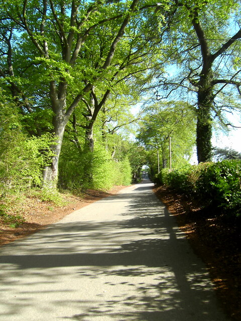
Ridgley Hill is easily accessible by a network of well-maintained footpaths and trails, providing visitors with ample opportunities for hiking and walking. At the summit, there is a designated viewing area where visitors can take in the awe-inspiring vistas of the surrounding countryside, including the nearby valleys, forests, and farmland.
The hill also holds historical significance, as it is believed to have been inhabited by humans since ancient times. Archaeological evidence suggests that it was once a site of Iron Age settlements, and remnants of ancient forts and burial mounds can still be found in the area.
Overall, Ridgley Hill offers a serene and picturesque setting for outdoor enthusiasts, nature lovers, and history buffs alike. Its natural beauty, coupled with its cultural and historical significance, make it a must-visit destination for anyone exploring the Yorkshire region.
If you have any feedback on the listing, please let us know in the comments section below.
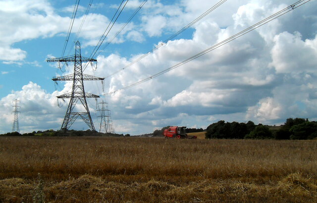
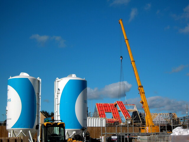
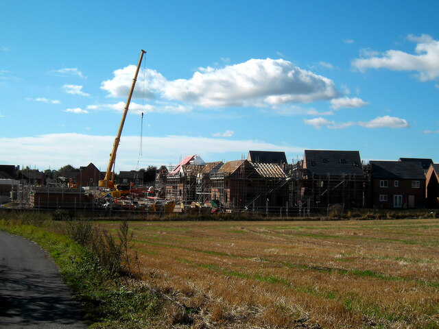
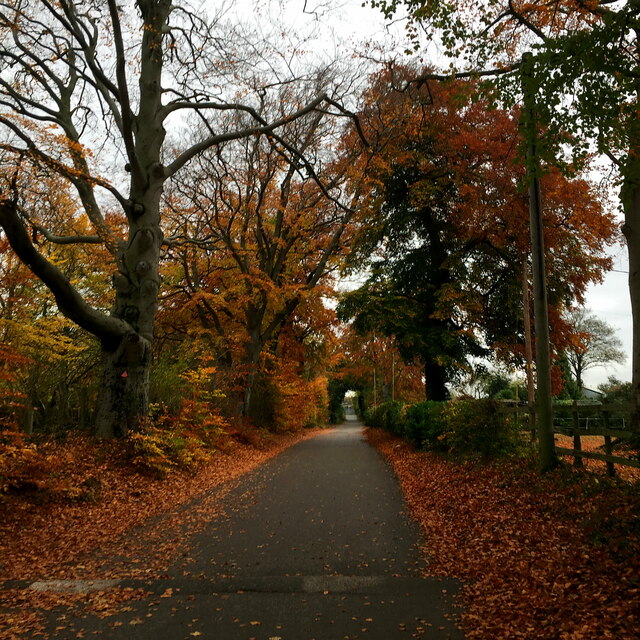
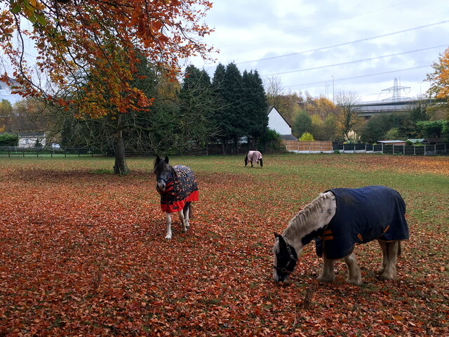
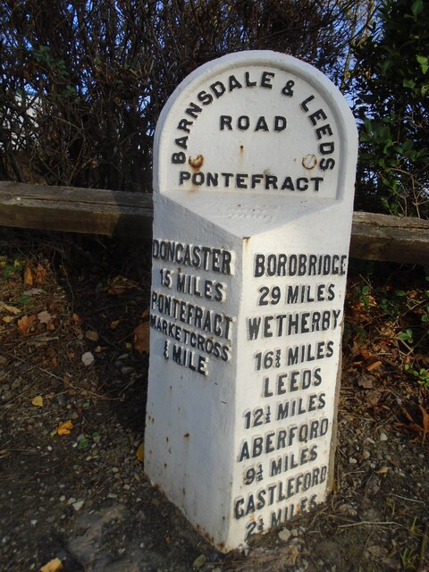
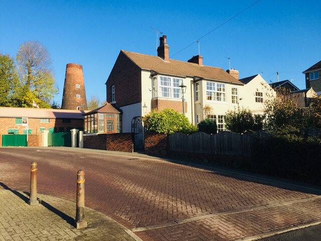
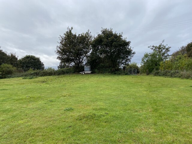
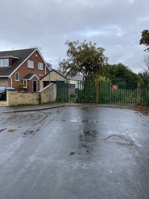
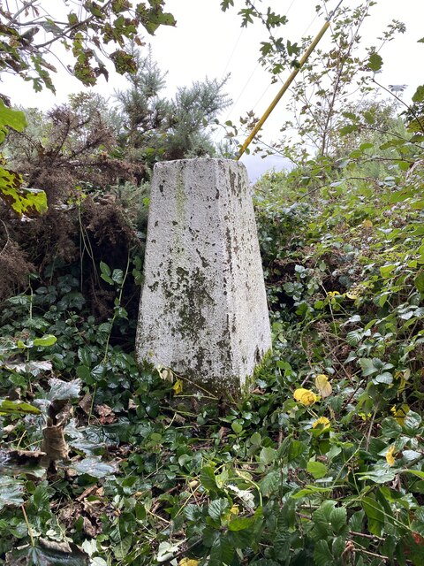
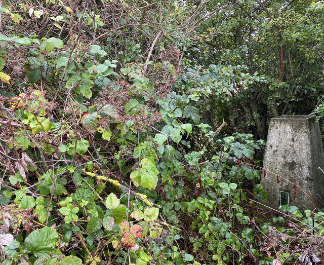
Ridgley Hill Images
Images are sourced within 2km of 53.706832/-1.3134378 or Grid Reference SE4523. Thanks to Geograph Open Source API. All images are credited.


Ridgley Hill is located at Grid Ref: SE4523 (Lat: 53.706832, Lng: -1.3134378)
Division: West Riding
Unitary Authority: Wakefield
Police Authority: West Yorkshire
What 3 Words
///secret.diary.wisely. Near Pontefract, West Yorkshire
Nearby Locations
Related Wikis

Pontefract and Castleford (UK Parliament constituency)
Pontefract and Castleford was a constituency represented in the House of Commons of the Parliament of the United Kingdom until the 2010 general election...

Prince of Wales Colliery
The Prince of Wales Colliery was a coal mine that operated for over 130 years in Pontefract, West Yorkshire, England. It was permanently closed in 2002...

Pontefract Priory
Pontefract Priory was a Cluniac monastery dedicated to St. John the Evangelist, founded about 1090 by Robert de Lacy, 2nd Baron of Pontefract, and located...

Pontefract Monkhill railway station
Pontefract Monkhill railway station is the busiest station in the town of Pontefract, West Yorkshire, England. The station is on the Pontefract Line managed...
Five Towns Stadium
The Five Towns Stadium also known as Axiom is a future rugby league stadium in Glasshoughton, Castleford, West Yorkshire, England. The stadium is intended...
Pontefract Collieries F.C.
Pontefract Collieries Football Club is a semi-professional football club based in Pontefract, West Yorkshire, England. The team currently plays in the...
Monkhill, West Yorkshire
Monkhill is an area of Pontefract, in the Wakefield district, in the English county of West Yorkshire. It was the site of the former Pontefract Priory...

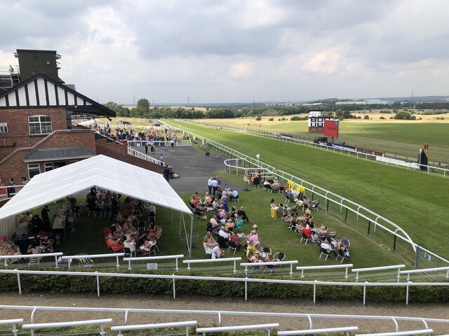
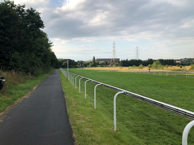
Pontefract Racecourse
Pontefract Racecourse is a thoroughbred horse racing venue located in Pontefract, West Yorkshire, England. == Layout == The track is left-handed undulating...
Nearby Amenities
Located within 500m of 53.706832,-1.3134378Have you been to Ridgley Hill?
Leave your review of Ridgley Hill below (or comments, questions and feedback).