Thornbrough Hill

Hill, Mountain in Yorkshire Hambleton

England

Thornbrough Hill

Cowesby village Sandstone houses with pantile roofs are a feature of this tiny village nestled at the base of the Hambleton Hills.
Cowesby village Credit: Gordon Hatton

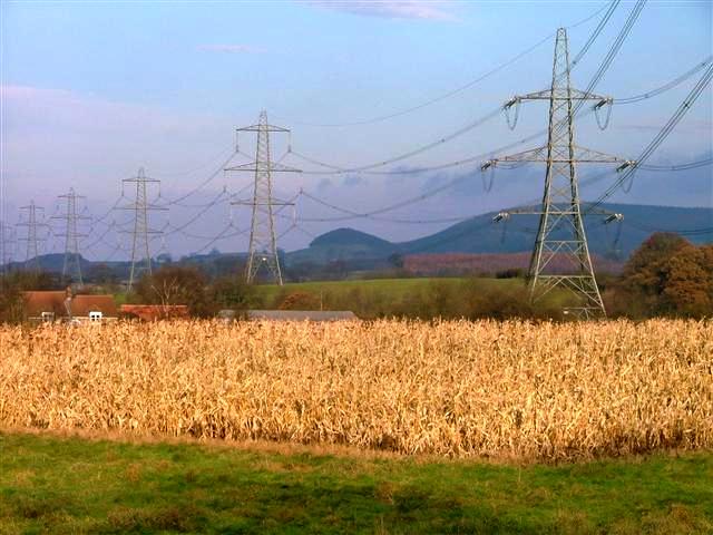
Thornbrough Hill is a prominent hill located in Yorkshire, England. Situated in the northern part of the region, it forms part of the beautiful landscape of the Yorkshire Dales National Park. Rising to an elevation of approximately 500 meters (1,640 feet), Thornbrough Hill is considered one of the higher points in the area, although it is more accurately classified as a hill rather than a mountain.

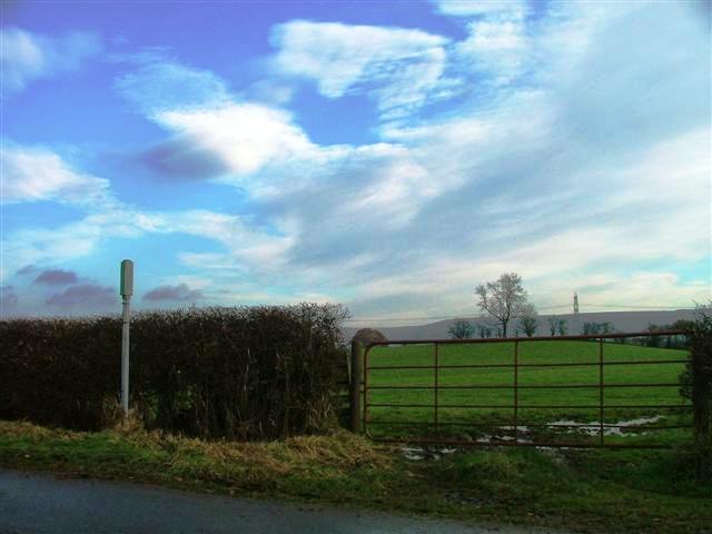
The hill offers stunning panoramic views of the surrounding countryside, with its gentle slopes covered in lush greenery during the summer months. Its summit provides an ideal vantage point to appreciate the picturesque valleys, meandering rivers, and charming villages that dot the region. On clear days, it is even possible to catch a glimpse of the distant North Sea.

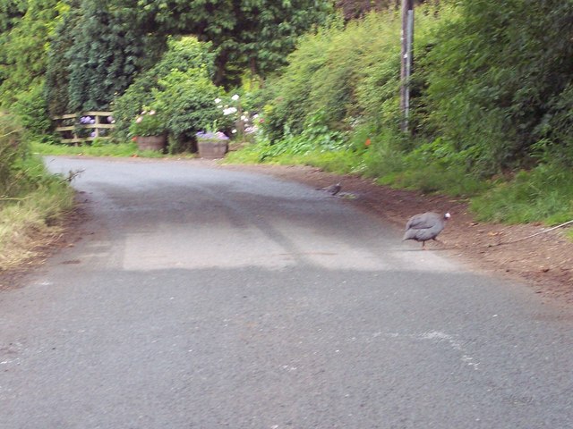
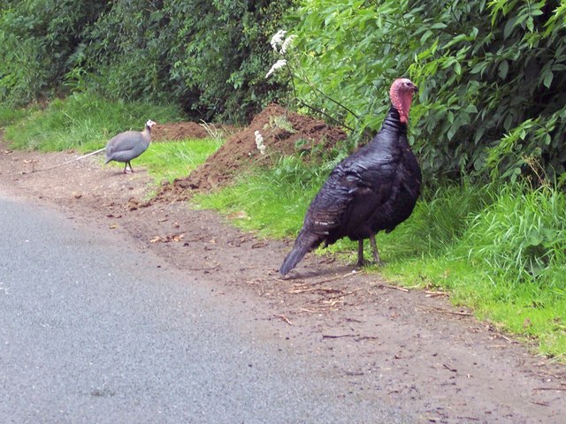
Thornbrough Hill is a popular destination for hikers and outdoor enthusiasts, offering a variety of walking trails and paths that cater to different fitness levels. The hill's well-maintained footpaths allow visitors to explore its diverse flora and fauna, including wildflowers, grazing sheep, and occasional sightings of wildlife such as hares and birds of prey.

In addition to its natural beauty, Thornbrough Hill also holds historical significance. The surrounding area is rich in archaeological remains, including ancient settlements and burial mounds. This highlights the long-standing human presence in the region and adds an extra layer of interest for those with an inclination towards history and archaeology.

Overall, Thornbrough Hill is a captivating natural landmark in Yorkshire, offering visitors and locals alike a chance to immerse themselves in its scenic beauty and connect with the rich history and heritage of the area.

If you have any feedback on the listing, please let us know in the comments section below.

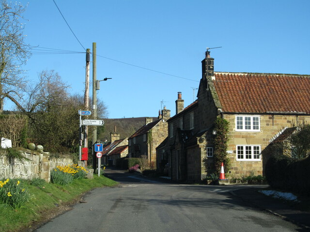
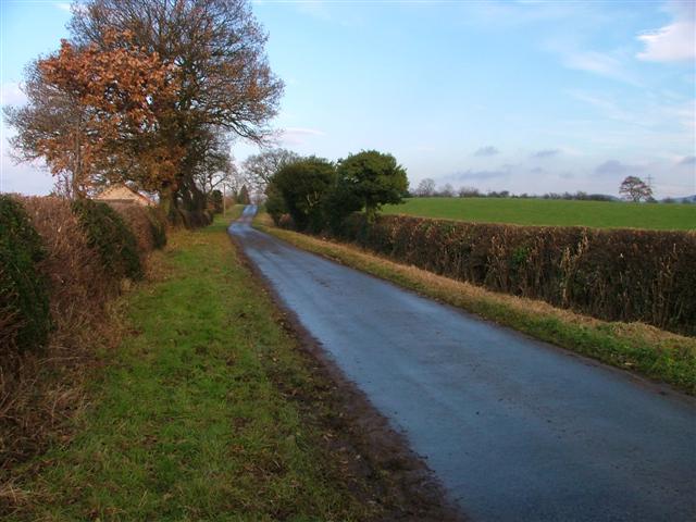
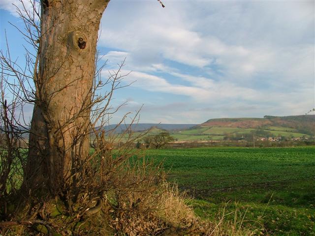
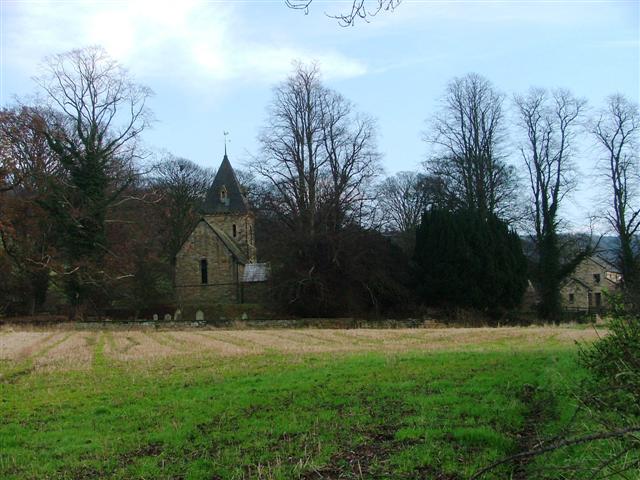
Thornbrough Hill Images

Images are sourced within 2km of 54.310517/-1.3101181 or Grid Reference SE4490. Thanks to Geograph Open Source API. All images are credited.

Cowesby village Sandstone houses with pantile roofs are a feature of this tiny village nestled at the base of the Hambleton Hills.
Cowesby village
Sandstone houses with pantile roofs are a feature of this tiny village nestled at the base of the Hambleton Hills.
Cophill Lane Looking north up the lane mapped as Cophill Lane.
Cophill Lane
Looking north up the lane mapped as Cophill Lane.
View North From Moor Road The village of Cowesby can be seen far right.
View North From Moor Road
The village of Cowesby can be seen far right.
The church of St. Michael and All Angels, Cowesby View from the west.
The church of St. Michael and All Angels, Cowesby
View from the west.
Ostentation of Peacocks Taken on the doorstep of a farm in Woundales Lane.
Ostentation of Peacocks
Taken on the doorstep of a farm in Woundales Lane.
Cowesby, St Michael & All The Angels, another closer shot.
Across the fields to Cowesby The small village of Cowesby nestles under the western scarp of the hambleton Hills.
Across the fields to Cowesby
The small village of Cowesby nestles under the western scarp of the hambleton Hills.
Bridge over Cowesby Beck A sturdy stone bridge carrying a country lane over the beck.
Bridge over Cowesby Beck
A sturdy stone bridge carrying a country lane over the beck.
Pylons Near Atley Field Farm
Public Bridleway to Low House Off Cophill Lane.
Public Bridleway to Low House
Off Cophill Lane.
The lane from Cowesby to Borrowby Complete with Guinea Fowl.
The lane from Cowesby to Borrowby
Complete with Guinea Fowl.
Turkey Dinner One that didn't make the Christmas dinner table.  By the side of the lane near Borrowby.
Turkey Dinner
One that didn't make the Christmas dinner table. By the side of the lane near Borrowby.
Boundary Stone Rectory House is at the junction of Woundales Lane, Delf Lane and Cophill Lane. The markings on the boundary stone, lower left, have yet to be deciphered.
Boundary Stone
Rectory House is at the junction of Woundales Lane, Delf Lane and Cophill Lane. The markings on the boundary stone, lower left, have yet to be deciphered.
Cowesby Beck Bridge Cowesby Beck Bridge is in the southeast corner of grid square SE4389 while the barn in the distance is in square SE4388.
Cowesby Beck Bridge
Cowesby Beck Bridge is in the southeast corner of grid square SE4389 while the barn in the distance is in square SE4388.
Pylons, from Delf Lane An ugly intrusion into pleasant countryside.
Pylons, from Delf Lane
An ugly intrusion into pleasant countryside.
Pastures south of Fore Lane Looking south across pastureland towards the isolated hill of Woolmoor.
Pastures south of Fore Lane
Looking south across pastureland towards the isolated hill of Woolmoor.
Fore Lane, Cowesby Looking east towards Pen Hill, a spur of the Hambleton Hills.
Fore Lane, Cowesby
Looking east towards Pen Hill, a spur of the Hambleton Hills.
Junction of Peasland Lane with Fore Lane A junction of minor roads to the west of Cowesby. Woolmoor is the hill in the background.
Junction of Peasland Lane with Fore Lane
A junction of minor roads to the west of Cowesby. Woolmoor is the hill in the background.
Show me another place!

Thornbrough Hill is located at Grid Ref: SE4490 (Lat: 54.310517, Lng: -1.3101181)

Division: North Riding

Administrative County: North Yorkshire

District: Hambleton

Police Authority: North Yorkshire

What 3 Words

///heaven.factor.quantity. Near Northallerton, North Yorkshire

Related Wikis

Kirkby Fleetham with Fencote

Kirkby Fleetham with Fencote is a civil parish in the Hambleton District of North Yorkshire, England. At the 2011 census, the population was 560 which...

Leake, North Yorkshire

Leake is a hamlet and civil parish in the Hambleton district of North Yorkshire, England, about six miles north of Thirsk. The population of the parish...

Nether Silton

Nether Silton is a village and civil parish in the Hambleton District of North Yorkshire, England. It lies 6 miles (9.7 km) east of Northallerton, on...

Cowesby

Cowesby is a village and civil parish in the Hambleton District of North Yorkshire, England. Part of the village including The Cowesby Hall Estate is within...

Nearby Amenities

Located within 500m of 54.310517,-1.3101181
Power: tower
Lat/Long: 54.3104278/-1.3170094
Carleys Farm
Place: farm
Lat/Long: 54.3127437/-1.3105766
Mill Hill
Place: farm
Lat/Long: 54.3084143/-1.3075955
Mill Farm
Place: farm
Lat/Long: 54.3083284/-1.3055626
The data included in this document is from www.openstreetmap.org. The data is made available under ODbL.

Have you been to Thornbrough Hill?

Leave your review of Thornbrough Hill below (or comments, questions and feedback).