Thornbrough Wood

Wood, Forest in Yorkshire Hambleton

England

Thornbrough Wood

Cowesby village Sandstone houses with pantile roofs are a feature of this tiny village nestled at the base of the Hambleton Hills.
Cowesby village Credit: Gordon Hatton

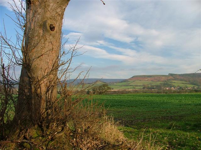
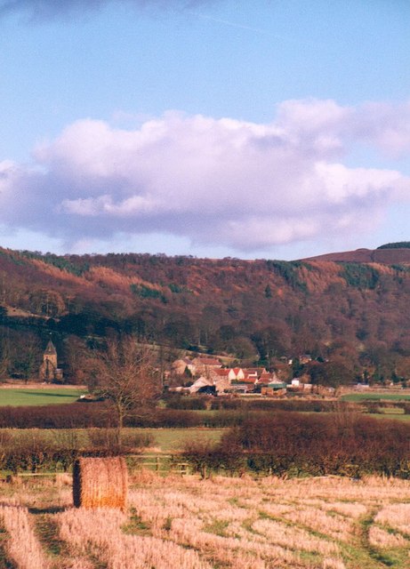
Thornbrough Wood is a picturesque woodland located in the county of Yorkshire, England. Covering an area of approximately 100 acres, it is considered one of the most beautiful and well-preserved forests in the region. The woodland is situated near the village of Thornbrough, nestled within the rolling hills and valleys that characterize the Yorkshire countryside.

Thornbrough Wood is primarily composed of native broadleaf trees, including oak, beech, and ash, which have thrived in this habitat for centuries. The dense canopy created by these towering trees provides a tranquil and shaded environment, perfect for a leisurely stroll or a peaceful picnic amidst nature. The forest floor is adorned with a rich carpet of wildflowers, ferns, and mosses, adding to the enchanting atmosphere.

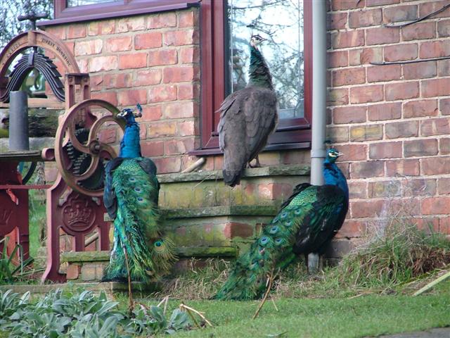
The wood is also home to a diverse range of wildlife, making it a popular spot for nature enthusiasts and birdwatchers. Numerous bird species, such as woodpeckers, owls, and various songbirds, can be spotted throughout the year. Additionally, the forest supports a variety of mammals, including deer, foxes, and squirrels.

Visitors to Thornbrough Wood can explore the many well-maintained trails that wind through the forest, allowing them to fully appreciate its natural beauty. The wood is also equipped with picnic areas, benches, and information boards, providing a comfortable and informative experience for all visitors.

Overall, Thornbrough Wood offers a captivating glimpse into the natural wonders of Yorkshire, with its ancient trees, abundant wildlife, and serene ambiance, making it a must-visit destination for nature lovers and those seeking a tranquil retreat.

If you have any feedback on the listing, please let us know in the comments section below.

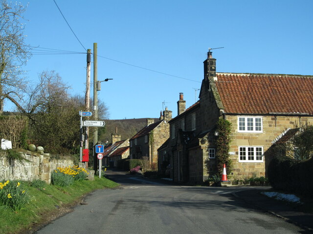
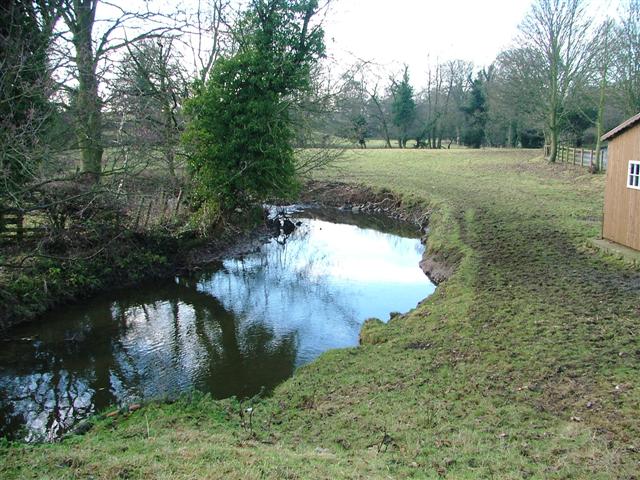
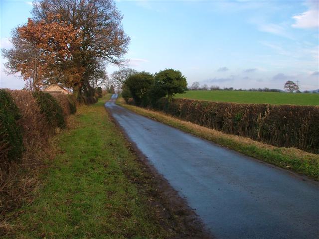
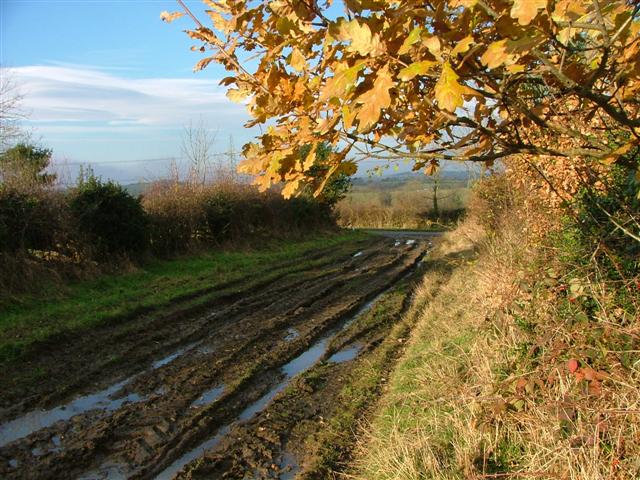
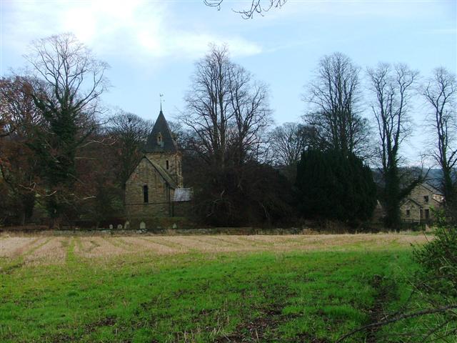
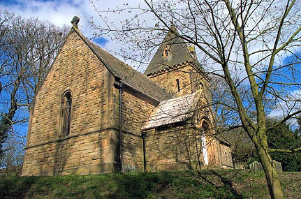
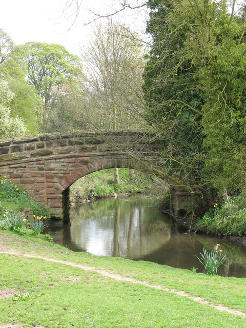
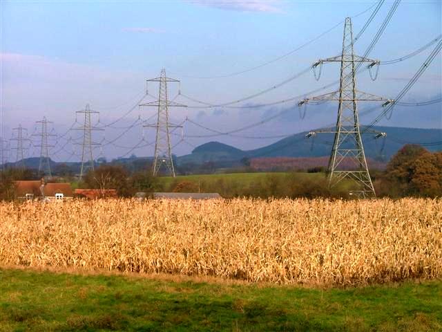
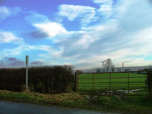
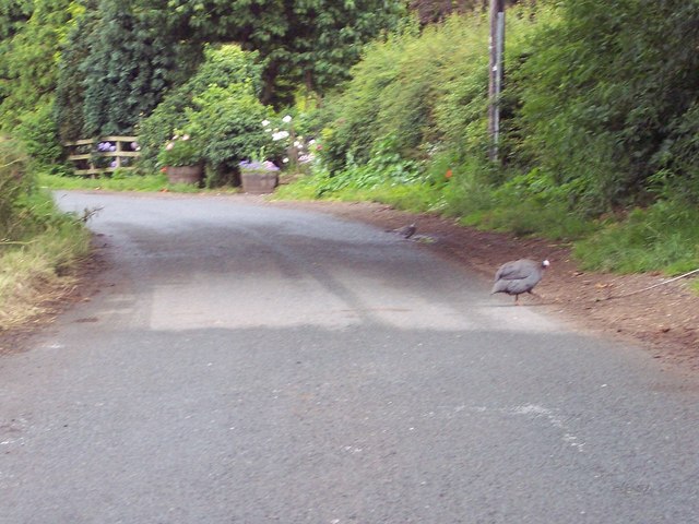
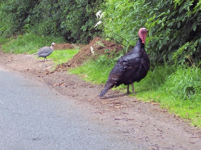
Thornbrough Wood Images

Images are sourced within 2km of 54.309724/-1.3113302 or Grid Reference SE4490. Thanks to Geograph Open Source API. All images are credited.

Cowesby village Sandstone houses with pantile roofs are a feature of this tiny village nestled at the base of the Hambleton Hills.
Cowesby village
Sandstone houses with pantile roofs are a feature of this tiny village nestled at the base of the Hambleton Hills.
Cowesby Beck View west from the bridge leading to the Cleveland Rein.
Cowesby Beck
View west from the bridge leading to the Cleveland Rein.
Cophill Lane Looking north up the lane mapped as Cophill Lane.
Cophill Lane
Looking north up the lane mapped as Cophill Lane.
Bank Lane A track seemingly going nowhere but heavily used by the farmer. View north towards the junction with the unclassified road.
Bank Lane
A track seemingly going nowhere but heavily used by the farmer. View north towards the junction with the unclassified road.
View North From Moor Road The village of Cowesby can be seen far right.
View North From Moor Road
The village of Cowesby can be seen far right.
The church of St. Michael and All Angels, Cowesby View from the west.
The church of St. Michael and All Angels, Cowesby
View from the west.
Ostentation of Peacocks Taken on the doorstep of a farm in Woundales Lane.
Ostentation of Peacocks
Taken on the doorstep of a farm in Woundales Lane.
Cowesby, St Michael & All The Angels, another closer shot.
Across the fields to Cowesby The small village of Cowesby nestles under the western scarp of the hambleton Hills.
Across the fields to Cowesby
The small village of Cowesby nestles under the western scarp of the hambleton Hills.
Bridge over Cowesby Beck A sturdy stone bridge carrying a country lane over the beck.
Bridge over Cowesby Beck
A sturdy stone bridge carrying a country lane over the beck.
Pylons Near Atley Field Farm
Public Bridleway to Low House Off Cophill Lane.
Public Bridleway to Low House
Off Cophill Lane.
The lane from Cowesby to Borrowby Complete with Guinea Fowl.
The lane from Cowesby to Borrowby
Complete with Guinea Fowl.
Turkey Dinner One that didn't make the Christmas dinner table.  By the side of the lane near Borrowby.
Turkey Dinner
One that didn't make the Christmas dinner table. By the side of the lane near Borrowby.
Boundary Stone Rectory House is at the junction of Woundales Lane, Delf Lane and Cophill Lane. The markings on the boundary stone, lower left, have yet to be deciphered.
Boundary Stone
Rectory House is at the junction of Woundales Lane, Delf Lane and Cophill Lane. The markings on the boundary stone, lower left, have yet to be deciphered.
Cowesby Beck Bridge Cowesby Beck Bridge is in the southeast corner of grid square SE4389 while the barn in the distance is in square SE4388.
Cowesby Beck Bridge
Cowesby Beck Bridge is in the southeast corner of grid square SE4389 while the barn in the distance is in square SE4388.
Pylons, from Delf Lane An ugly intrusion into pleasant countryside.
Pylons, from Delf Lane
An ugly intrusion into pleasant countryside.
Pastures south of Fore Lane Looking south across pastureland towards the isolated hill of Woolmoor.
Pastures south of Fore Lane
Looking south across pastureland towards the isolated hill of Woolmoor.
Show me another place!

Thornbrough Wood is located at Grid Ref: SE4490 (Lat: 54.309724, Lng: -1.3113302)

Division: North Riding

Administrative County: North Yorkshire

District: Hambleton

Police Authority: North Yorkshire

What 3 Words

///sprinter.friction.emulated. Near Northallerton, North Yorkshire

Related Wikis

Kirkby Fleetham with Fencote

Kirkby Fleetham with Fencote is a civil parish in the Hambleton District of North Yorkshire, England. At the 2011 census, the population was 560 which...

Leake, North Yorkshire

Leake is a hamlet and civil parish in the Hambleton district of North Yorkshire, England, about six miles north of Thirsk. The population of the parish...

Nether Silton

Nether Silton is a village and civil parish in the Hambleton District of North Yorkshire, England. It lies 6 miles (9.7 km) east of Northallerton, on...

Cowesby

Cowesby is a village and civil parish in the Hambleton District of North Yorkshire, England. Part of the village including The Cowesby Hall Estate is within...

Nearby Amenities

Located within 500m of 54.309724,-1.3113302
Power: tower
Lat/Long: 54.3070944/-1.3161118
Power: tower
Lat/Long: 54.3104278/-1.3170094
Carleys Farm
Place: farm
Lat/Long: 54.3127437/-1.3105766
Mill Hill
Place: farm
Lat/Long: 54.3084143/-1.3075955
Mill Farm
Place: farm
Lat/Long: 54.3083284/-1.3055626
The data included in this document is from www.openstreetmap.org. The data is made available under ODbL.

Have you been to Thornbrough Wood?

Leave your review of Thornbrough Wood below (or comments, questions and feedback).