Gardaness Hill
Hill, Mountain in Shetland
Scotland
Gardaness Hill
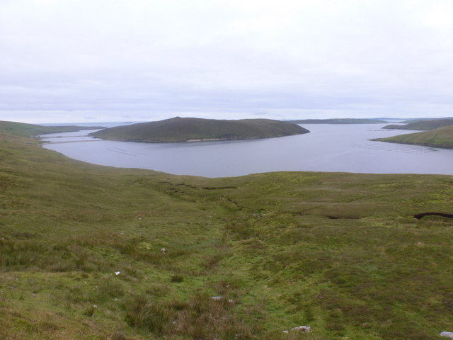
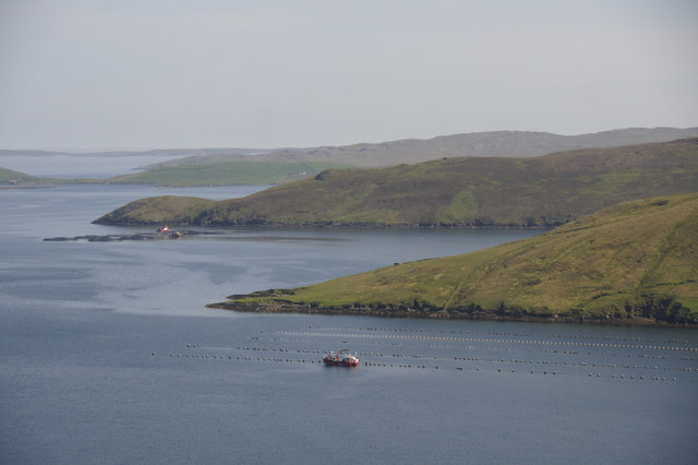
Gardaness Hill, also known as Gardie Hill, is a prominent hill located in the northern part of Shetland, an archipelago in Scotland. Rising to an elevation of 226 meters (741 feet), it offers breathtaking panoramic views of the surrounding landscape and is a popular spot for hikers, nature enthusiasts, and photographers.
Situated near the town of Brae, Gardaness Hill is characterized by its rugged and rocky terrain, typical of the Shetland Islands. The hill is formed primarily of basalt, a volcanic rock, which gives it a distinctive appearance. Its slopes are covered with heather, grasses, and various wildflowers, providing a vibrant and colorful landscape during the summer months.
At the summit of Gardaness Hill, there is an ancient broch, a type of Iron Age roundhouse that was built around 2,000 years ago. The broch, known as The Hamar, is a scheduled ancient monument and serves as a reminder of the area's rich historical and cultural heritage. Visitors can explore the remains of this structure, which consists of a circular stone wall with an inner courtyard.
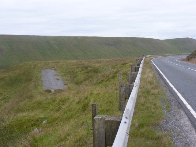
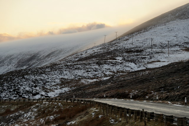
The hill is easily accessible via a well-marked path, making it a popular destination for walkers of all abilities. On a clear day, the views from Gardaness Hill stretch across the surrounding countryside, with glimpses of the North Sea and neighboring islands. It is also an excellent spot for birdwatching, with the chance to spot various species of seabirds and waders.
Overall, Gardaness Hill offers a unique blend of natural beauty, historical significance, and outdoor adventure, making it a must-visit destination for anyone exploring the Shetland Islands.
If you have any feedback on the listing, please let us know in the comments section below.
Gardaness Hill Images
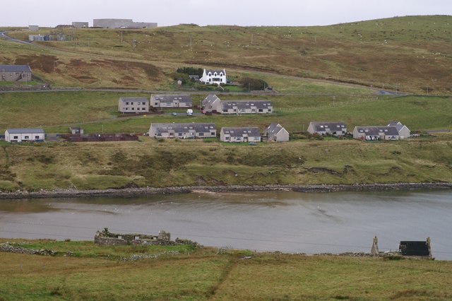
Images are sourced within 2km of 60.411316/-1.2109836 or Grid Reference HU4369. Thanks to Geograph Open Source API. All images are credited.


Gardaness Hill is located at Grid Ref: HU4369 (Lat: 60.411316, Lng: -1.2109836)
Unitary Authority: Shetland Islands
Police Authority: Highlands and Islands
What 3 Words
///celebrate.forgiven.reflected. Near Vidlin, Shetland Islands
Nearby Locations
Related Wikis

North Mainland
The North Mainland of the Shetland Islands, Scotland is the part of the Mainland lying north of Voe (60° 21′N). == Geography == Notable places in North...
Firth, Shetland
Note: "Firth" is a common name for sounds in ShetlandFirth is a village in the north east of Mainland, Shetland, Scotland, in the parish of Delting, not...
Linga, Yell Sound
Linga is one of the Shetland Islands, in Yell Sound. == Geography and geology == Linga is an extremely common name in Shetland, meaning heather island...

Delting
Delting is a civil parish and community council area on Mainland, Shetland, Scotland. It includes the Sullom Voe oil terminal and its main settlements...
Have you been to Gardaness Hill?
Leave your review of Gardaness Hill below (or comments, questions and feedback).