Brunsell Hill

Hill, Mountain in Yorkshire Harrogate

England

Brunsell Hill

Towards Fairburn House Farm Taken from the B6265.
Towards Fairburn House Farm Credit: DS Pugh

The requested URL returned error: 429 Too Many Requests

If you have any feedback on the listing, please let us know in the comments section below.

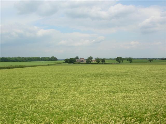
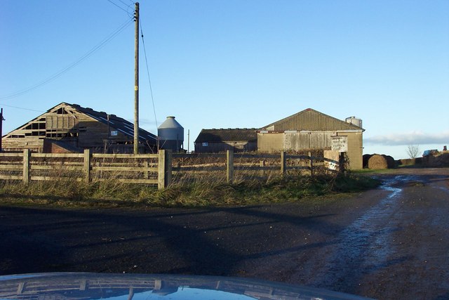
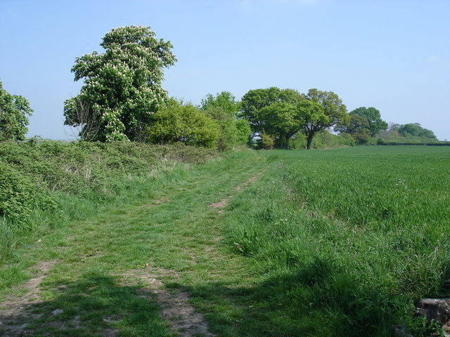
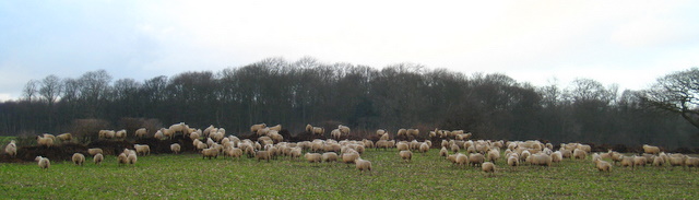
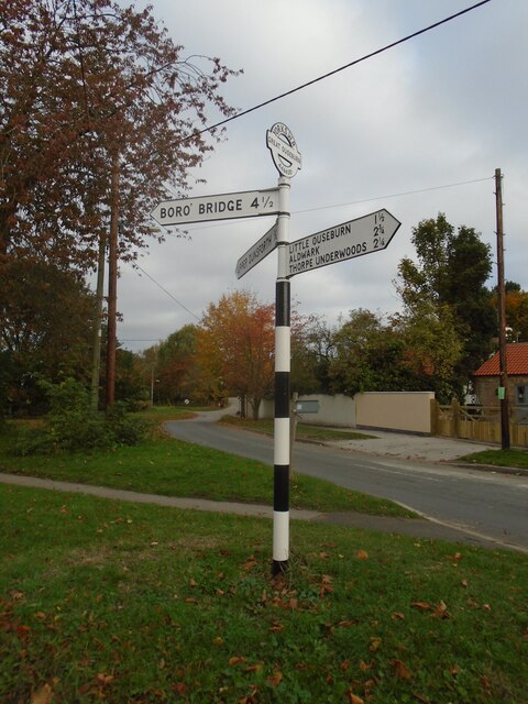
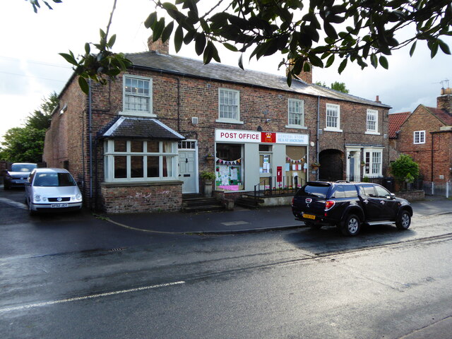
Brunsell Hill Images

Images are sourced within 2km of 54.042781/-1.3364415 or Grid Reference SE4360. Thanks to Geograph Open Source API. All images are credited.

Towards Fairburn House Farm Taken from the B6265.
Towards Fairburn House Farm
Taken from the B6265.
Fair View Farm
Fair View Farm
Ox Close Lane Leading off north-eastwards, Ox Close Lane eventually meets the B6265, an old Roman road, south of Little Ouseburn.
Ox Close Lane
Leading off north-eastwards, Ox Close Lane eventually meets the B6265, an old Roman road, south of Little Ouseburn.
Sheep on a dungpile, Ox Close Lane, Whixley Sheep enjoying the warmth of a dungpile on a bitterly cold January day near to Ox Close Lane, Whixley.
Sheep on a dungpile, Ox Close Lane, Whixley
Sheep enjoying the warmth of a dungpile on a bitterly cold January day near to Ox Close Lane, Whixley.
Direction Sign – Signpost on Main Street, Great Ouseburn Located on the north side of the junction of Main Street and Seggans Road in Great Ouseburn parish. 3 arms and annulus & bar finial. Repainted since 2019, see <a title="https://www.geograph.org.uk/photo/6545973" href="https://www.geograph.org.uk/photo/6545973">Link</a>.

Milestone Society National ID: YW_SE4462
Direction Sign – Signpost on Main Street, Great Ouseburn
Located on the north side of the junction of Main Street and Seggans Road in Great Ouseburn parish. 3 arms and annulus & bar finial. Repainted since 2019, see Link. Milestone Society National ID: YW_SE4462
Great Ouseburn Post office
Great Ouseburn village hall Serving as a polling station for the June 2017 General Election.
Great Ouseburn village hall
Serving as a polling station for the June 2017 General Election.
Great Ouseburn village green
Yeoman's Cottage Great Ouseburn Dating from 1637.
Yeoman's Cottage Great Ouseburn
Dating from 1637.
Detail of Yeoman's Cottage See <a href="https://www.geograph.org.uk/photo/7365674">SE4561 : Yeoman's Cottage Great Ouseburn</a> for context.
Detail of Yeoman's Cottage
Small field off Church Lane
Field near Kirby Villa Looking across sheep pasture beside Thorpe Green Lane.
Field near Kirby Villa
Looking across sheep pasture beside Thorpe Green Lane.
Road signs near New Lodge Situated at the road junction for Little Ouseburn on the road between Thorpe Underwood and Great Ouseburn.
Road signs near New Lodge
Situated at the road junction for Little Ouseburn on the road between Thorpe Underwood and Great Ouseburn.
Little Ouseburn Bridge Crossing Ouse Gill Beck.
Little Ouseburn Bridge
Crossing Ouse Gill Beck.
New Road Looking towards the junction of New Road with Boat Lane and Main Street.
New Road
Looking towards the junction of New Road with Boat Lane and Main Street.
Main Street, Great Ouseburn Looking towards cottages at the south end of the village.
Main Street, Great Ouseburn
Looking towards cottages at the south end of the village.
Horses on Main Street Looking along Main Street in Great Ouseburn.
Horses on Main Street
Looking along Main Street in Great Ouseburn.
Cottages on Main Street Near the cottage on the right are blue plaques (in Russian and English) commemorating an air crash. For more information see: <span class="nowrap"><a title="https://www.yorkshire-aircraft.co.uk/aircraft/yorkshire/york42/r2764.html" rel="nofollow ugc noopener" href="https://www.yorkshire-aircraft.co.uk/aircraft/yorkshire/york42/r2764.html">Link</a><img style="margin-left:2px;" alt="External link" title="External link - shift click to open in new window" src="https://s1.geograph.org.uk/img/external.png" width="10" height="10"/></span>
Cottages on Main Street
Near the cottage on the right are blue plaques (in Russian and English) commemorating an air crash. For more information see: LinkExternal link
Show me another place!

Brunsell Hill is located at Grid Ref: SE4360 (Lat: 54.042781, Lng: -1.3364415)

Division: West Riding

Administrative County: North Yorkshire

District: Harrogate

Police Authority: North Yorkshire

What 3 Words

///expose.airliners.hostels. Near Linton upon Ouse, North Yorkshire

Nearby Locations

Brunsell Hill

Related Wikis

Little Ouseburn

Little Ouseburn is a small village and civil parish in the Harrogate district of North Yorkshire, England. It is situated near the A1(M) motorway and 6...

Great Ouseburn

Great Ouseburn is a village and civil parish in the Harrogate district of North Yorkshire, England. It is situated 4 miles (6 km) south-east of Boroughbridge...

St Mary the Virgin's Church, Great Ouseburn

St Mary the Virgin's Church is in the village of Great Ouseburn, North Yorkshire, England. It is an active Anglican parish church in the deanery of Ripon...

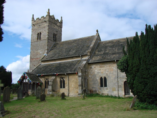
Holy Trinity Church, Little Ouseburn

Holy Trinity Church stands to the northeast of the village of Little Ouseburn, North Yorkshire, England. It is an Anglican parish church in the deanery...

Nearby Amenities

Located within 500m of 54.042781,-1.3364415
The data included in this document is from www.openstreetmap.org. The data is made available under ODbL.

Have you been to Brunsell Hill?

Leave your review of Brunsell Hill below (or comments, questions and feedback).