Barrow Hill

Hill, Mountain in Leicestershire North West Leicestershire

England

Barrow Hill

Brook at Osgathorpe
Brook at Osgathorpe Credit: Jonathan Thacker

Barrow Hill, located in Leicestershire, England, is a prominent hill that offers breathtaking views and historical significance. Standing at an elevation of approximately 210 meters above sea level, it is not only a popular spot for hikers and nature enthusiasts but also a site of archaeological importance.

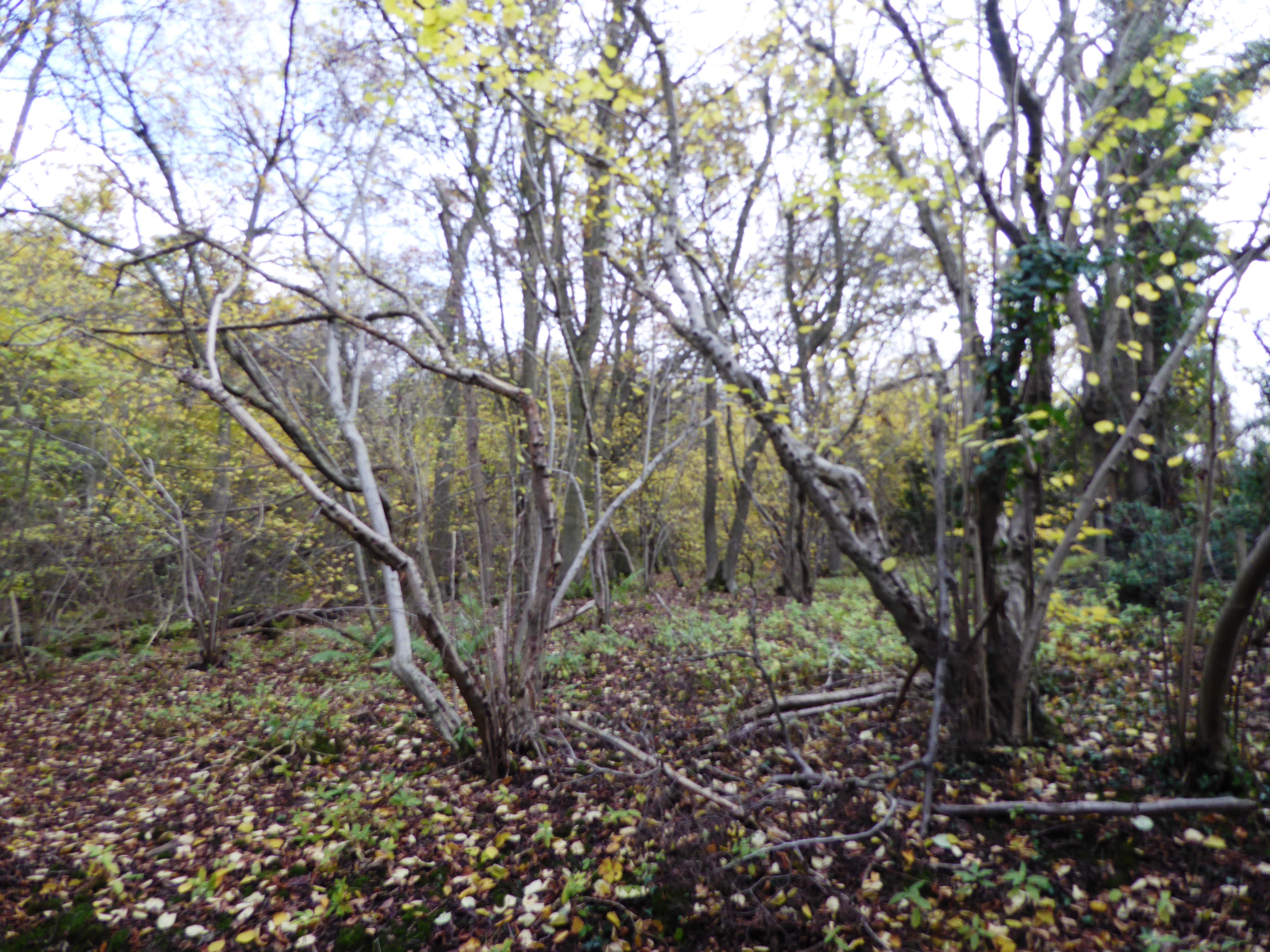
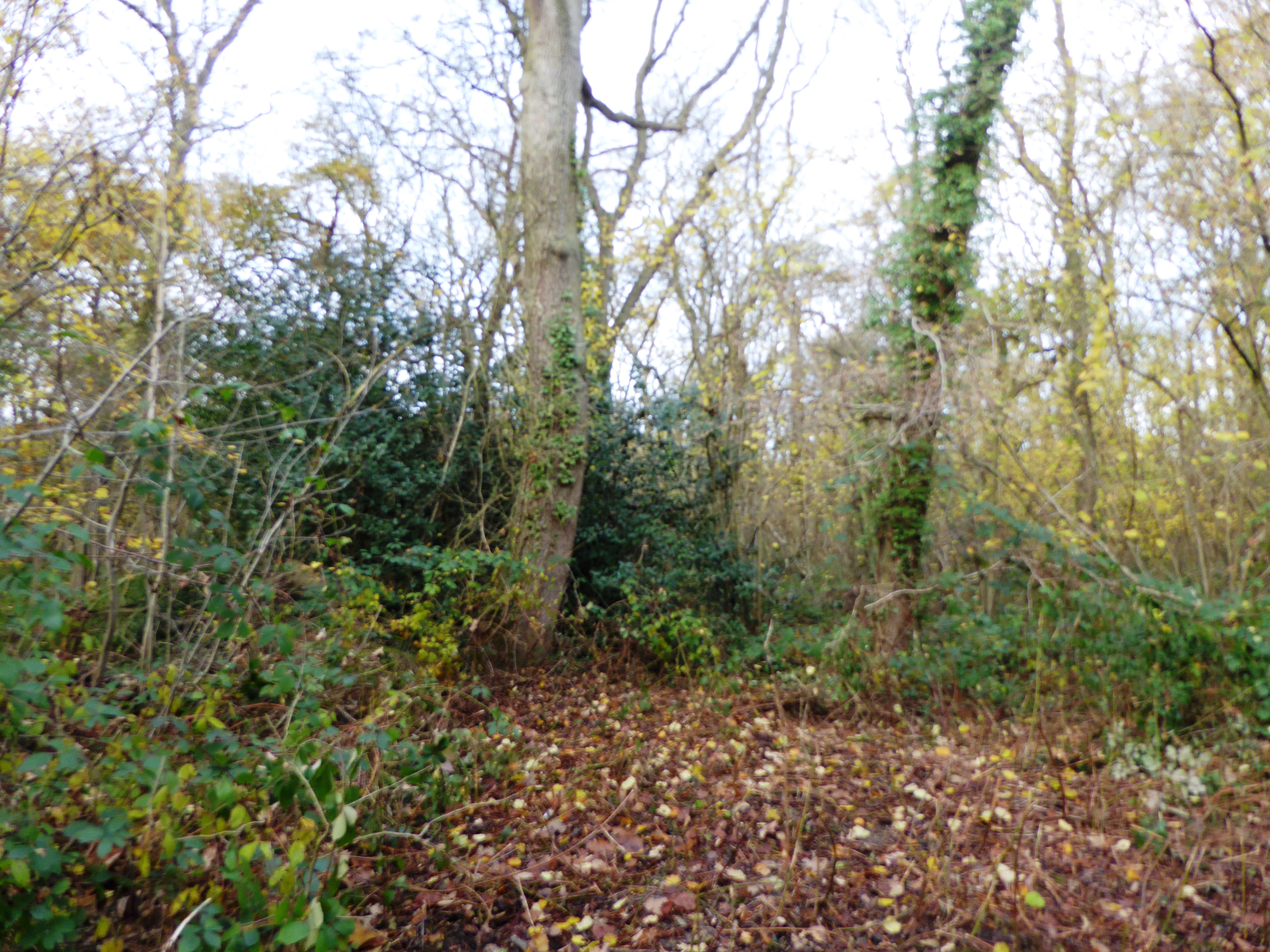
The hill is situated near the village of Barrow upon Soar and is part of the Charnwood Forest. It is characterized by its distinctive shape, resembling an elongated dome with a flattened summit. Covered in lush greenery and surrounded by picturesque landscapes, Barrow Hill provides a serene and tranquil environment for visitors.

This area has a rich history, with evidence of human activity dating back thousands of years. In fact, it is believed that Barrow Hill was once used as a burial mound during the Bronze Age. Archaeological excavations have unearthed several ancient artifacts, including pottery, tools, and even human remains.

Aside from its historical significance, Barrow Hill also offers breathtaking panoramic views of the surrounding countryside. From its summit, visitors can marvel at the rolling hills, meandering rivers, and charming villages that dot the landscape.

The hill is accessible via well-maintained footpaths, making it an ideal destination for walkers and nature lovers. Whether one is seeking a peaceful hike, a glimpse into the past, or simply a place to admire the beauty of the Leicestershire countryside, Barrow Hill is a must-visit destination.

If you have any feedback on the listing, please let us know in the comments section below.
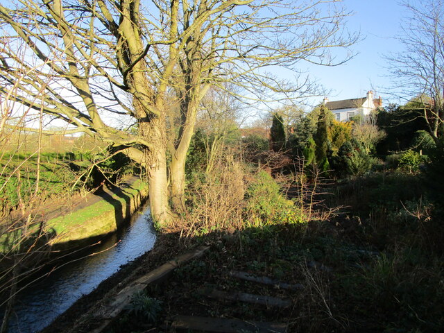
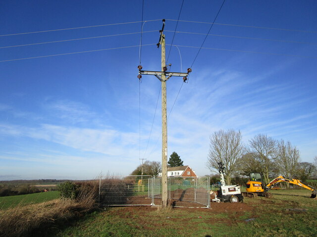
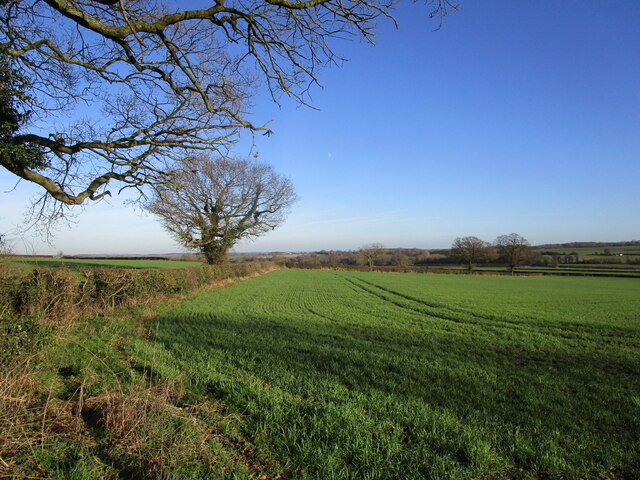
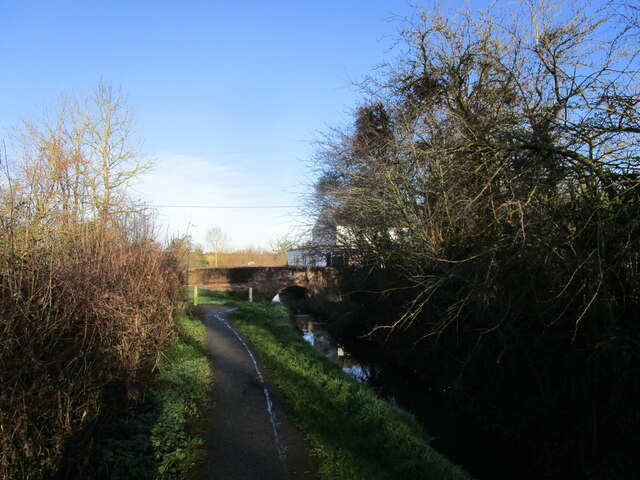
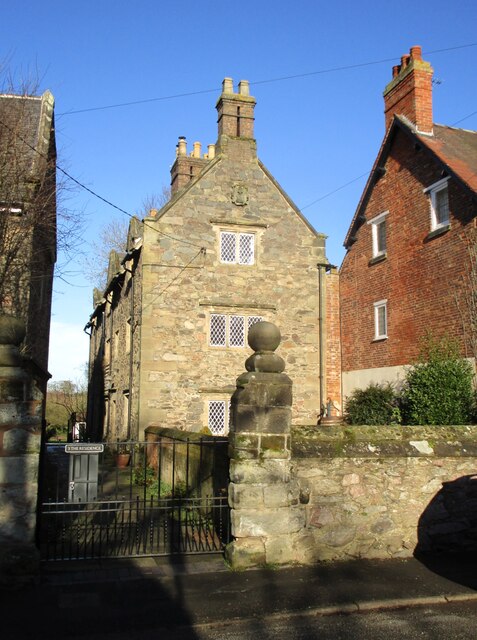
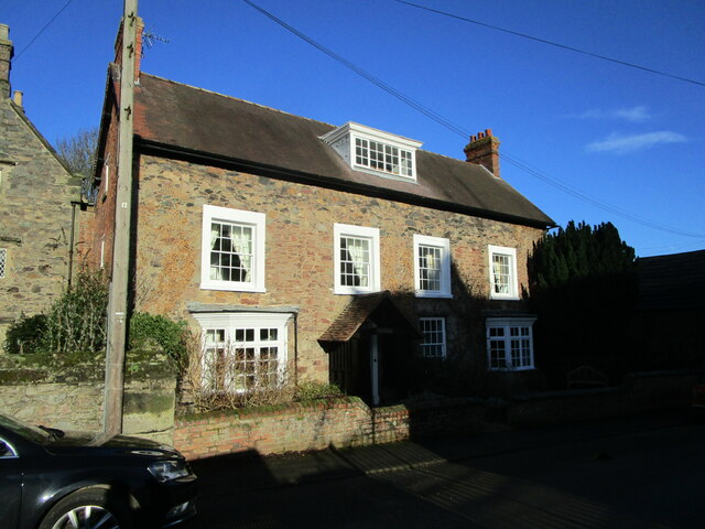
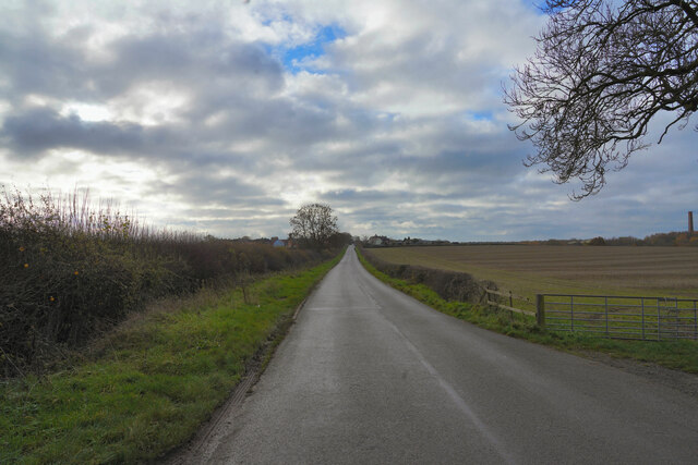
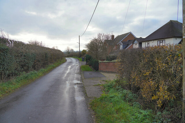
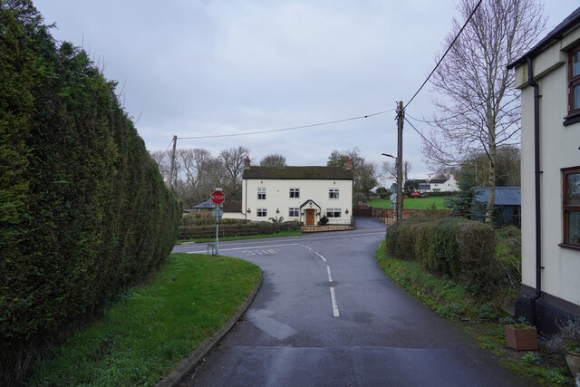
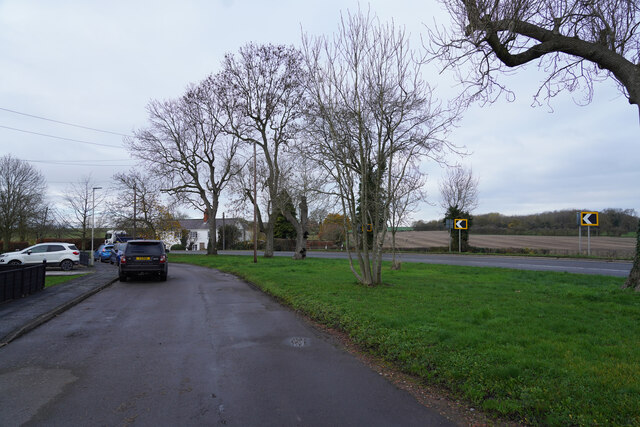
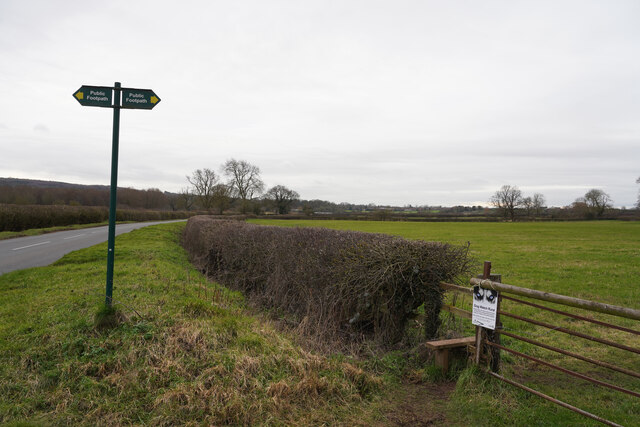
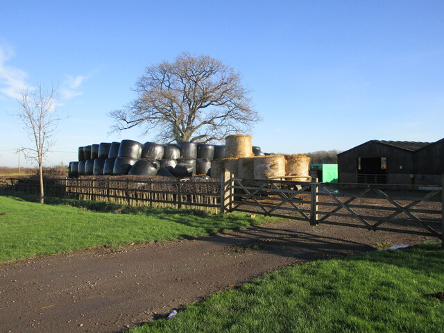
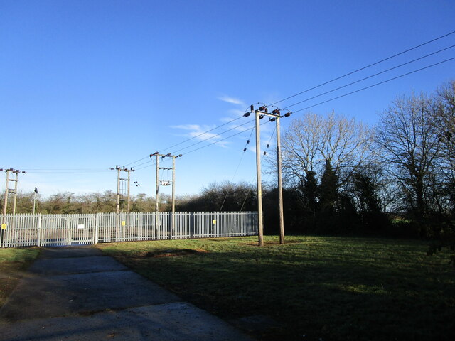
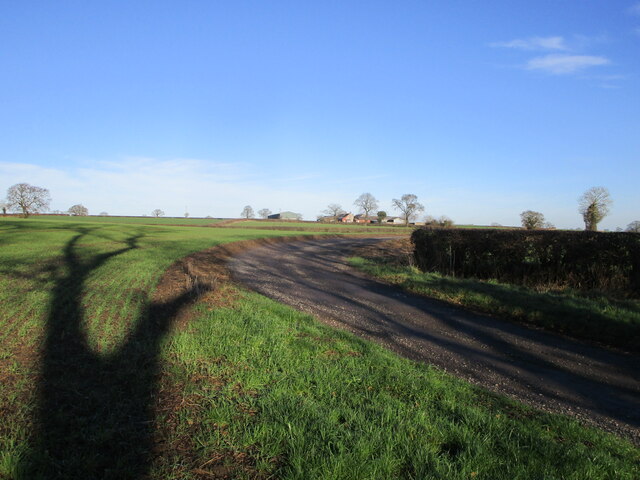
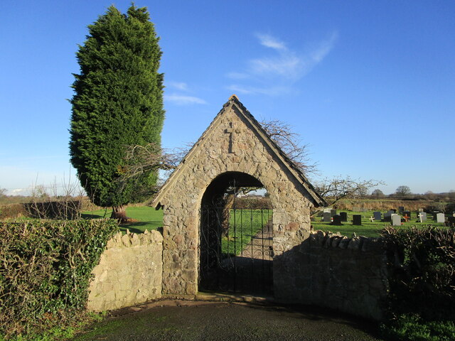
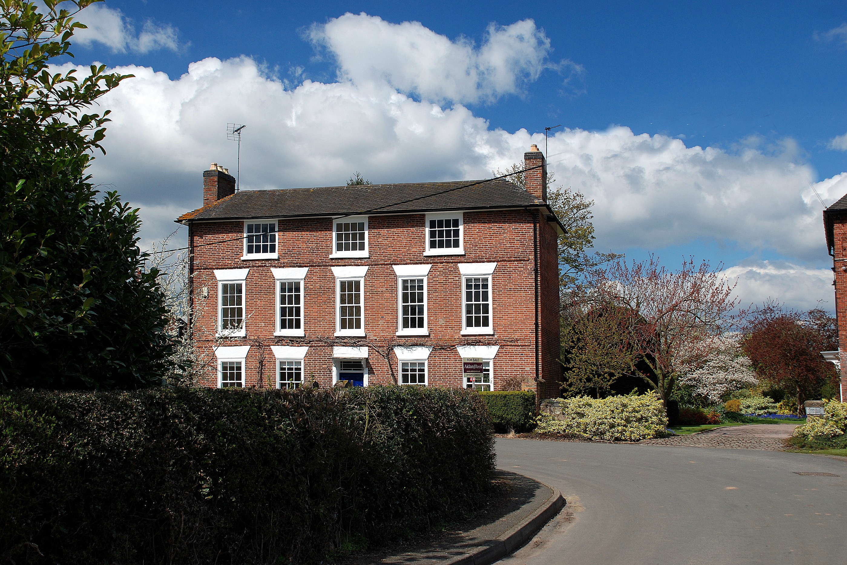
Barrow Hill Images

Images are sourced within 2km of 52.777214/-1.3777831 or Grid Reference SK4220. Thanks to Geograph Open Source API. All images are credited.

Brook at Osgathorpe
Brook at Osgathorpe
Work across the footpath On a footpath from Thringstone towards Osgathorpe.
Work across the footpath
On a footpath from Thringstone towards Osgathorpe.
Autumn sown crop off Snarrow's Road near Osgathorpe
Footpath by the brook, Osgathorpe
Field off Grace Dieu Lane
The Residence, Osgathorpe Built as almshouses in 1670 <span class="nowrap"><a title="https://historicengland.org.uk/listing/the-list/list-entry/1361250?section=official-listing" rel="nofollow ugc noopener" href="https://historicengland.org.uk/listing/the-list/list-entry/1361250?section=official-listing">Link</a><img style="margin-left:2px;" alt="External link" title="External link - shift click to open in new window" src="https://s1.geograph.org.uk/img/external.png" width="10" height="10"/></span>
The Residence, Osgathorpe
Built as almshouses in 1670 LinkExternal link
The Old Rectory, Osgathorpe Dates from 1837 <span class="nowrap"><a title="https://historicengland.org.uk/listing/the-list/list-entry/1177417?section=official-listing" rel="nofollow ugc noopener" href="https://historicengland.org.uk/listing/the-list/list-entry/1177417?section=official-listing">Link</a><img style="margin-left:2px;" alt="External link" title="External link - shift click to open in new window" src="https://s1.geograph.org.uk/img/external.png" width="10" height="10"/></span>
The Old Rectory, Osgathorpe
Dates from 1837 LinkExternal link
Worthington Lane Looking along Worthington Lane with rich farmland on both sides of the road.
Worthington Lane
Looking along Worthington Lane with rich farmland on both sides of the road.
Houses in Griffydam Griffydam strikes me as a very unusual name, but presumably it has some local relevance. These are houses towards the edge of the village.
Houses in Griffydam
Griffydam strikes me as a very unusual name, but presumably it has some local relevance. These are houses towards the edge of the village.
A road junction Looking from Top Road towards the junction, the road to the left is Rempstone Road, but to the right it has changed name to Ashby Road and opposite Top Road becomes Top Brand.
A road junction
Looking from Top Road towards the junction, the road to the left is Rempstone Road, but to the right it has changed name to Ashby Road and opposite Top Road becomes Top Brand.
Ashby Road The two visible road are both part of Ashby Road. the road with the parked car has a series of houses set back from the main Ashby Road allowing easier parking.
Ashby Road
The two visible road are both part of Ashby Road. the road with the parked car has a series of houses set back from the main Ashby Road allowing easier parking.
Gracedieu Lane Looking along Gracedieu Lane past the sign for a public footpath and a style to get onot it.
Gracedieu Lane
Looking along Gracedieu Lane past the sign for a public footpath and a style to get onot it.
Farmyard, Brandgate Farm
Autumn sown crop near Cloud Wood
Worthington primary substation
Track to Woodside Farm
Lychgate, Osgathorpe Cemetery
Breedon Lane near Osgathorpe
Show me another place!

Barrow Hill is located at Grid Ref: SK4220 (Lat: 52.777214, Lng: -1.3777831)

Administrative County: Leicestershire

District: North West Leicestershire

Police Authority: Leicestershire

What 3 Words

///depth.locator.stages. Near Melbourne, Derbyshire

Nearby Locations

Barrow Hill

Related Wikis

Osgathorpe

Osgathorpe is a small village which lies in a fold of the hills in North West Leicestershire, England, and is about a quarter of a mile from the A512 Coalville...

Breedon Cloud Wood and Quarry

Breedon Cloud Wood and Quarry is a 63.3 hectares (156 acres) biological and geological Site of Special Scientific Interest north-east of Worthington in...

Pasture and Asplin Woods

Pasture and Asplin Woods is a 40.9 hectares (101 acres) biological Site of Special Scientific Interest west of Belton in Leicestershire.These ancient woods...

Worthington, Leicestershire

Worthington is a village and civil parish in North West Leicestershire, England, about 4 miles (6.4 km) north of the town of Coalville and a similar distance...

Worthington railway station

Worthington railway station was a station at Worthington, Leicestershire, England. == History == The station opened on 1 October 1869 when the Midland...

Griffydam

Griffydam is a hamlet within the parish of Worthington, Leicestershire . == History == Griffydam is most famously associated with a chalybeate well, or...

Newbold Coleorton

Newbold otherwise Newbold Coleorton is a large hamlet in the parish of Worthington, Leicestershire, England. It is situated in the North West Leicestershire...

Gelsmoor

Gelsmoor is a hamlet within the parish of Worthington in the English county of Leicestershire. It is noted for having a 'petrifying spring' in a nineteenth...

Nearby Amenities

Located within 500m of 52.777214,-1.3777831
Location Transition: yes
Power: pole
Lat/Long: 52.7811342/-1.3767323
Location Transition: yes
Power: pole
Lat/Long: 52.781277/-1.3793716
Power: pole
Lat/Long: 52.7805712/-1.3797364
Power: pole
Lat/Long: 52.779833/-1.3801655
Power: pole
Lat/Long: 52.7793658/-1.3811821
Power: pole
Lat/Long: 52.7788141/-1.3823596
Power: pole
Lat/Long: 52.7782966/-1.3834915
Power: pole
Lat/Long: 52.7777255/-1.3847253
Power: pole
Lat/Long: 52.7807075/-1.3794628
Power: pole
Lat/Long: 52.7798622/-1.3792294
Power: pole
Lat/Long: 52.7778731/-1.3788405
Power: pole
Lat/Long: 52.7766935/-1.3786742
Power: pole
Lat/Long: 52.7744706/-1.3783577
The data included in this document is from www.openstreetmap.org. The data is made available under ODbL.

Have you been to Barrow Hill?

Leave your review of Barrow Hill below (or comments, questions and feedback).