Braimber Hill

Hill, Mountain in Yorkshire Harrogate

England

Braimber Hill

Walls Close House The very handsome Walls Close House Farm, bathed in the early May sunshine.
Walls Close House Credit: Frank Glover

Braimber Hill is a prominent hill located in the county of Yorkshire, England. Situated in the Yorkshire Dales National Park, it is part of the wider Pennine range, renowned for its scenic beauty and rugged landscapes. With an elevation of approximately 451 meters (1,480 feet), Braimber Hill offers magnificent panoramic views of the surrounding countryside.

The hill is characterized by its distinctive shape, featuring a gentle slope on one side and a steeper incline on the other. Its slopes are covered in lush green vegetation, including grasses, heather, and scattered trees, which add to its picturesque charm. Braimber Hill is a popular destination for hikers and nature enthusiasts, who are drawn to its tranquil atmosphere and breathtaking vistas.

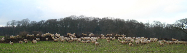
The hill is home to a variety of wildlife, including birds such as peregrine falcons, kestrels, and buzzards, which can be seen soaring through the skies. It also provides a habitat for smaller creatures like rabbits, foxes, and deer. Additionally, there are numerous walking trails and footpaths that crisscross the hill, allowing visitors to explore its natural wonders and enjoy the fresh air.

Braimber Hill is steeped in history, with ancient settlements and archaeological remains dating back to the Bronze Age. The hill's strategic location made it an ideal vantage point for observing the surrounding landscape and defending against potential threats in times of old.

Overall, Braimber Hill stands as a captivating landmark in Yorkshire, offering a blend of natural beauty, historical significance, and recreational opportunities for all who venture to its summit.

If you have any feedback on the listing, please let us know in the comments section below.

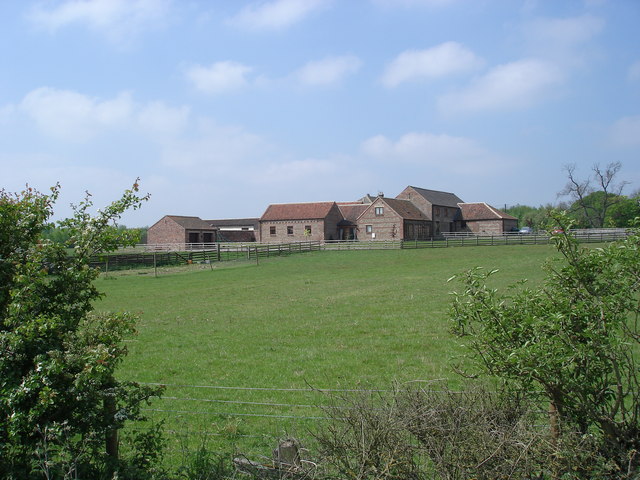
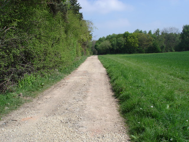
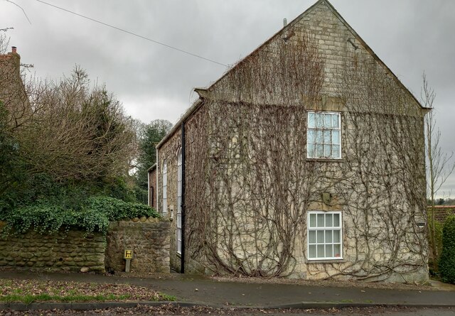
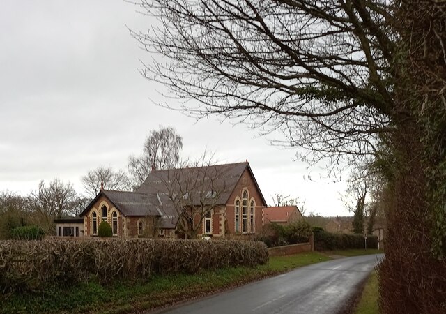
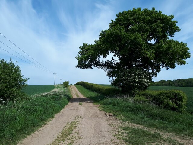
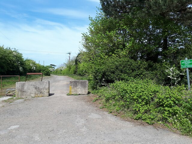
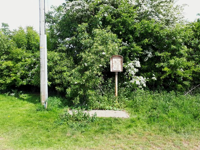
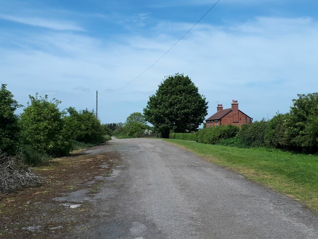
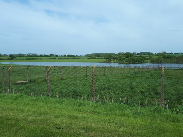
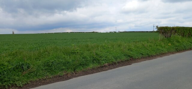
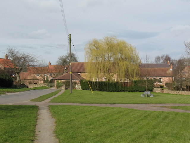
Braimber Hill Images

Images are sourced within 2km of 54.045789/-1.3591951 or Grid Reference SE4261. Thanks to Geograph Open Source API. All images are credited.

Walls Close House The very handsome Walls Close House Farm, bathed in the early May sunshine.
Walls Close House
The very handsome Walls Close House Farm, bathed in the early May sunshine.
South of Broadfield Wood This track carries the PF between the narrow plantation to the left and Broadfield Wood.
South of Broadfield Wood
This track carries the PF between the narrow plantation to the left and Broadfield Wood.
Sheep on a dungpile, Ox Close Lane, Whixley Sheep enjoying the warmth of a dungpile on a bitterly cold January day near to Ox Close Lane, Whixley.
Sheep on a dungpile, Ox Close Lane, Whixley
Sheep enjoying the warmth of a dungpile on a bitterly cold January day near to Ox Close Lane, Whixley.
Marton cum Grafton, B6265 road junction According to the OS benchmark database there was a benchmark cut into a concrete post at this road junction. Nothing was found and the post is likely gone.
Marton cum Grafton, B6265 road junction
According to the OS benchmark database there was a benchmark cut into a concrete post at this road junction. Nothing was found and the post is likely gone.
Marton cum Grafton, Christ Church The benchmark is cut into the west face of the church.
Marton cum Grafton, Christ Church
The benchmark is cut into the west face of the church.
Marton cum Grafton, Christ Church There is a benchmark cut into the west face of the church. The cut mark remains quite clear.
Marton cum Grafton, Christ Church
There is a benchmark cut into the west face of the church. The cut mark remains quite clear.
Marton cum Grafton, roadside house According to the OS benchmark database there is a benchmark cut into the gable end of this roadside property. Despite the ivy creeper having lost all its leaves no mark was found.
Marton cum Grafton, roadside house
According to the OS benchmark database there is a benchmark cut into the gable end of this roadside property. Despite the ivy creeper having lost all its leaves no mark was found.
Marton cum Grafton, Braimber Lane The benchmark is cut into a concrete post on the south side of Braimber Lane.
Marton cum Grafton, Braimber Lane
The benchmark is cut into a concrete post on the south side of Braimber Lane.
Marton cum Grafton, Braimber Lane There is a benchmark cut into the concrete post hidden in the hedge to the right of this gateway.
Marton cum Grafton, Braimber Lane
There is a benchmark cut into the concrete post hidden in the hedge to the right of this gateway.
Marton cum Grafton, crossroads According to the OS benchmark database there was a gatepost with a cutmark in this location. Using a walking pole I could feel a solid structure within the hedge, and peering through the overgrowth there is a gatepost immersed in the vegetation. Totally inaccessible to confirm any finds.
Marton cum Grafton, crossroads
According to the OS benchmark database there was a gatepost with a cutmark in this location. Using a walking pole I could feel a solid structure within the hedge, and peering through the overgrowth there is a gatepost immersed in the vegetation. Totally inaccessible to confirm any finds.
Marton cum Grafton, old chapel According to the OS benchmark database there is a benchmark cut into the north face of the old chapel which has been converted to a private house. Nothing could be seen due to the greenery and shrubs around the property.
Marton cum Grafton, old chapel
According to the OS benchmark database there is a benchmark cut into the north face of the old chapel which has been converted to a private house. Nothing could be seen due to the greenery and shrubs around the property.
Moor Lane The track runs for about 2 miles connecting two ancient routes: the Great North Road and the old Roman road of Rudgate.  It is therefore likely that this is itself an ancient thoroughfare, now classed as a public bridleway.
Moor Lane
The track runs for about 2 miles connecting two ancient routes: the Great North Road and the old Roman road of Rudgate. It is therefore likely that this is itself an ancient thoroughfare, now classed as a public bridleway.
Bridleway signpost This wooden post at a junction of two bridleways is marked (left) to "A1 0.7km".  Signs in kilometres are still rare in England: Bradford Council erected them widely in the 1980s, but I guess this dates from the 1970s.  The old Great North Road in this vicinity had already been bypassed in the 1960s by the A1, which later became the A168 when it was in turn replaced by the A1(M)
Bridleway signpost
This wooden post at a junction of two bridleways is marked (left) to "A1 0.7km". Signs in kilometres are still rare in England: Bradford Council erected them widely in the 1980s, but I guess this dates from the 1970s. The old Great North Road in this vicinity had already been bypassed in the 1960s by the A1, which later became the A168 when it was in turn replaced by the A1(M)
The old Great North Road beyond Claro House This is the old Great North Road which in this vicinity had already been bypassed in the 1960s by the A1, which later became the A168 when it was in turn replaced by the A1(M).  The sign saying "public bridleway only" is reinforced by concrete blocks.
The old Great North Road beyond Claro House
This is the old Great North Road which in this vicinity had already been bypassed in the 1960s by the A1, which later became the A168 when it was in turn replaced by the A1(M). The sign saying "public bridleway only" is reinforced by concrete blocks.
Phone box on the old Great North Road The old Great North Road in this vicinity had already been bypassed in the 1960s by the A1, which later became the A168 when it was in turn replaced by the A1(M).  Emergency phones like this have been superseded, other than on motorways, in the era of the mobile phone.  <a href="https://www.geograph.org.uk/photo/214244">SE4060 : Abandoned SOS Phone</a> shows a close look.
Phone box on the old Great North Road
The old Great North Road in this vicinity had already been bypassed in the 1960s by the A1, which later became the A168 when it was in turn replaced by the A1(M). Emergency phones like this have been superseded, other than on motorways, in the era of the mobile phone. SE4060 : Abandoned SOS Phone shows a close look.
Thornbar Farm The farm was adjacent to the old Great North Road which is now only a bridleway apart from farm access.
Thornbar Farm
The farm was adjacent to the old Great North Road which is now only a bridleway apart from farm access.
Lake east of Nineveh Farm This doesn't appear on maps of even 50 years ago.  I presume it's the result of either quarrying or mining subsidence since then.
Lake east of Nineveh Farm
This doesn't appear on maps of even 50 years ago. I presume it's the result of either quarrying or mining subsidence since then.
Missing field hedge and field entrance, Great Ouseburn According to the OS benchmark database there was a benchmark cut into a wooden gatepost at this location on the north side of Carr Side Road. There are no gateposts or field entrance today.
Missing field hedge and field entrance, Great Ouseburn
According to the OS benchmark database there was a benchmark cut into a wooden gatepost at this location on the north side of Carr Side Road. There are no gateposts or field entrance today.
Show me another place!

Braimber Hill is located at Grid Ref: SE4261 (Lat: 54.045789, Lng: -1.3591951)

Division: West Riding

Administrative County: North Yorkshire

District: Harrogate

Police Authority: North Yorkshire

What 3 Words

///abstracts.note.husky. Near Boroughbridge, North Yorkshire

Related Wikis

Marton, Harrogate

Marton is a village in the Harrogate district of North Yorkshire, England. It is situated approximately 15 miles (24 km) north-west of the city of York...

Marton cum Grafton

Marton cum Grafton is a civil parish in the Borough of Harrogate of North Yorkshire, England. The parish has only two settlements (Marton and Grafton)...

Allerton waste recovery park

Allerton waste recovery park is a waste recovery and incineration site located on a former quarry at Allerton Mauleverer, near Knaresborough, England....

Grafton, North Yorkshire

Grafton is a village in the Harrogate district of North Yorkshire, England. It is situated approximately 15 miles (24 km) north-west of the city of York...

Allerton Mauleverer Priory

Allerton Mauleverer Priory was a medieval monastic house in North Yorkshire, England. The site is in Allerton Mauleverer with Hopperton Parish in the Harrogate...

Little Ouseburn

Little Ouseburn is a small village and civil parish in the Harrogate district of North Yorkshire, England. It is situated near the A1(M) motorway and 6...

Great Ouseburn

Great Ouseburn is a village and civil parish in the Harrogate district of North Yorkshire, England. It is situated 4 miles (6 km) south-east of Boroughbridge...
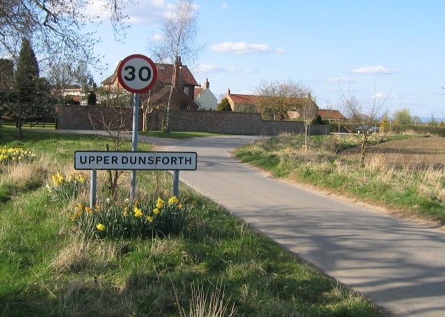
Upper Dunsforth

Upper Dunsforth is a village in located in the civil parish of Dunsforths, in the Borough of Harrogate of North Yorkshire, England. It was mentioned in...

Have you been to Braimber Hill?

Leave your review of Braimber Hill below (or comments, questions and feedback).