Rigton Bank

Hill, Mountain in Yorkshire

England

Rigton Bank

Field House, East Keswick This was a working farm when the photograph was taken, but the farm buildings have now been converted to residential properties
Field House, East Keswick Credit: John Armitstead

Rigton Bank is a prominent hill located in the county of Yorkshire, England. Situated in the picturesque area of Nidderdale, it is part of the Nidderdale Area of Outstanding Natural Beauty, renowned for its stunning landscapes and rolling hills. Rigton Bank stands at an elevation of approximately 380 meters (1,250 feet) above sea level, offering breathtaking panoramic views of the surrounding countryside.

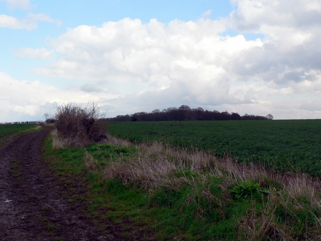
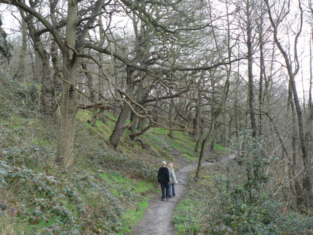
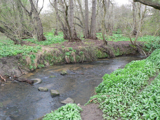
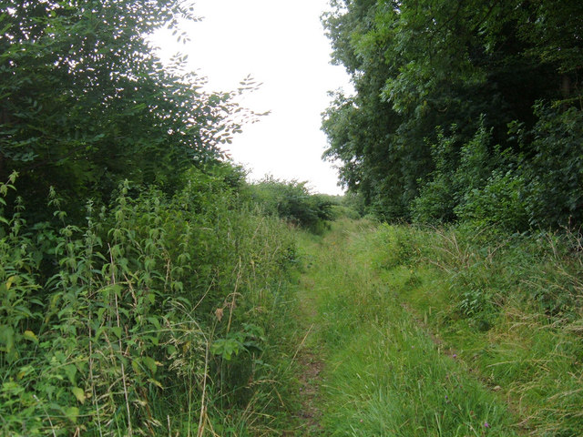
Covered in lush green vegetation, Rigton Bank is home to a diverse range of plant and animal species. The hill features a mix of grasslands, heather moorlands, and scattered woodland, providing habitats for various wildlife including birds, mammals, and insects. It is a popular spot for nature enthusiasts, hikers, and walkers, who enjoy exploring the hill's trails and taking in the breathtaking vistas.

Rigton Bank is also rich in history and heritage. The area has evidence of human settlement dating back to prehistoric times, with archaeological finds including ancient burial mounds and stone circles. Additionally, the hill is scattered with remnants of old lead mining activities, which were once a significant industry in the region.

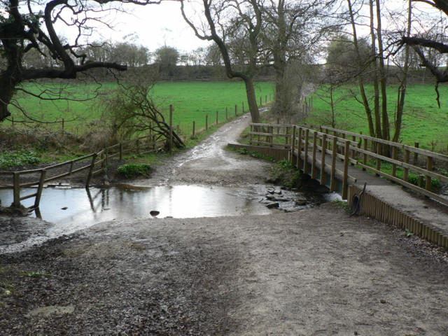
Access to Rigton Bank is facilitated by a network of footpaths and public rights of way, allowing visitors to explore its natural beauty and immerse themselves in the tranquility of the Yorkshire countryside. The hill's strategic location provides an ideal vantage point for capturing stunning photographs and experiencing the awe-inspiring beauty of the surrounding landscape. Rigton Bank truly offers a remarkable experience for those seeking to connect with nature and Yorkshire's rich history.

If you have any feedback on the listing, please let us know in the comments section below.
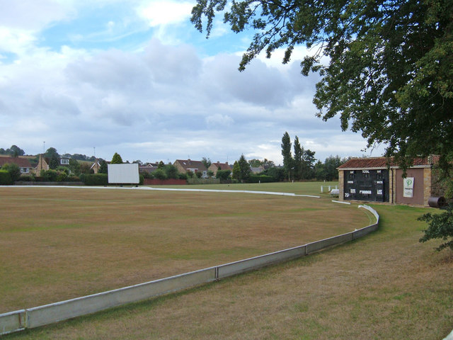
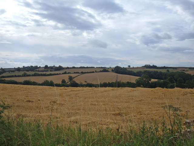
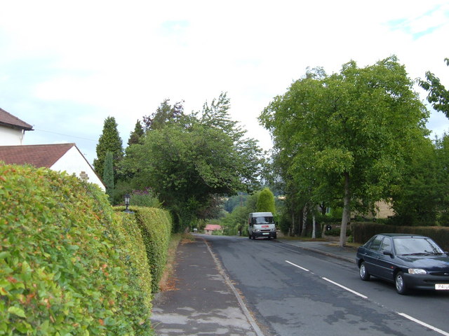
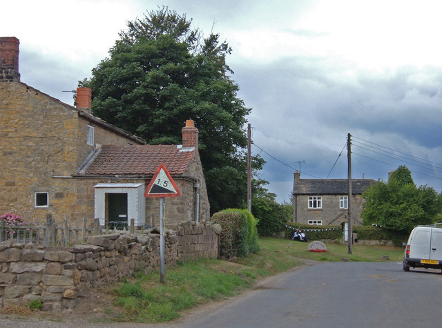
Rigton Bank Images

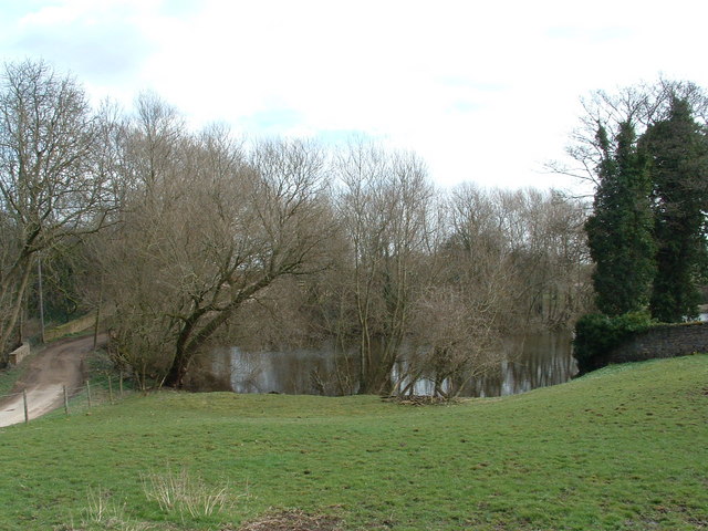
Images are sourced within 2km of 53.891847/-1.4216395 or Grid Reference SE3844. Thanks to Geograph Open Source API. All images are credited.

Field House, East Keswick This was a working farm when the photograph was taken, but the farm buildings have now been converted to residential properties
Field House, East Keswick
This was a working farm when the photograph was taken, but the farm buildings have now been converted to residential properties
Bardsey Parish Church The Parish Church of All Hallows goes back to Saxon times.  The lower part of the tower dates from 800/825 and the upper from the tenth century.
Bardsey Parish Church
The Parish Church of All Hallows goes back to Saxon times. The lower part of the tower dates from 800/825 and the upper from the tenth century.
The Pond at Compton A big pond for a little hamlet
The Pond at Compton
A big pond for a little hamlet
Pig farm near Compton
At last a bend
At last a bend
Roman Road, Bardsey According to the OS Map, the track to the left of the hedge is the course of a Roman Road. How can they tell? It just looks like a muddy track at the edge of a field to me! The wood in the background is Stubbing Moor Plantation.
Roman Road, Bardsey
According to the OS Map, the track to the left of the hedge is the course of a Roman Road. How can they tell? It just looks like a muddy track at the edge of a field to me! The wood in the background is Stubbing Moor Plantation.
Ford, Bardsey Beck by Hetchell Wood The Roman Road comes between Hetchell Wood and Pompocali, and crosses Bardsey Beck on its way west.
Ford, Bardsey Beck by Hetchell Wood
The Roman Road comes between Hetchell Wood and Pompocali, and crosses Bardsey Beck on its way west.
Hetchell Wood The path heading south through Hetchell Wood, beside Hetchell Craggs, just visible at top left.
Hetchell Wood
The path heading south through Hetchell Wood, beside Hetchell Craggs, just visible at top left.
Bardsey Beck in Dam Wood Stepping stones (and stepping tyre) in Bardsey Beck at the south-east corner of Dam Wood.
Bardsey Beck in Dam Wood
Stepping stones (and stepping tyre) in Bardsey Beck at the south-east corner of Dam Wood.
Collingham and Linton Cricket Club Situated on Harewood Road (A659). The club was founded in 1880 and plays in the Airedale and Wharfedale Senior Cricket League.
Collingham and Linton Cricket Club
Situated on Harewood Road (A659). The club was founded in 1880 and plays in the Airedale and Wharfedale Senior Cricket League.
View from the A659 towards Rigton Hill The valley in the middle distance belongs to Collingham Beck, a tributary of the River Wharfe. The Leeds to Wetherby railway line (now dismantled) followed the valley here. The shot is taken from the western end of Collingham's built up area.
View from the A659 towards Rigton Hill
The valley in the middle distance belongs to Collingham Beck, a tributary of the River Wharfe. The Leeds to Wetherby railway line (now dismantled) followed the valley here. The shot is taken from the western end of Collingham's built up area.
Upper Langwith, LS22 Looking north from the street's junction with the A659 (Harewood Road). This street as at the western edge of Collingham and drops down to the River Wharfe. The A659 here is on a ridge between the Wharfe and Collingham Beck.
Upper Langwith, LS22
Looking north from the street's junction with the A659 (Harewood Road). This street as at the western edge of Collingham and drops down to the River Wharfe. The A659 here is on a ridge between the Wharfe and Collingham Beck.
Top of Rigton Bank Rigton Bank is a steep hill that climbs through the village of East Rigton on the east side of the A58, Wetherby Road.
Top of Rigton Bank
Rigton Bank is a steep hill that climbs through the village of East Rigton on the east side of the A58, Wetherby Road.
Collingham from Rigton Bank Looking northeast from Compton Lane at the top of Rigton Bank. The outskirts of Collingham can be seen in the middle distance. The foreground is typical of the farmland on these valley sides.
Collingham from Rigton Bank
Looking northeast from Compton Lane at the top of Rigton Bank. The outskirts of Collingham can be seen in the middle distance. The foreground is typical of the farmland on these valley sides.
Lady Wood near Collingham Looking east along the northern edge of Lady Wood. The wood takes up the majority of this grid square.
Lady Wood near Collingham
Looking east along the northern edge of Lady Wood. The wood takes up the majority of this grid square.
Welcome to Collingham Entering the village on Jewitt Lane. Only 300 metres south of the junction with the A58.
Welcome to Collingham
Entering the village on Jewitt Lane. Only 300 metres south of the junction with the A58.
All Hallows Church, Bardsey
Collingham Methodist Church
Show me another place!

Rigton Bank is located at Grid Ref: SE3844 (Lat: 53.891847, Lng: -1.4216395)

Division: West Riding

Unitary Authority: Leeds

Police Authority: West Yorkshire

What 3 Words

///locals.vibrating.truckload. Near Bardsey, West Yorkshire

Nearby Locations

Rigton Bank Cuddy Wood

Related Wikis

Boulton St. Mary's Church

Boulton St Mary's is the Church of England parish church for the Boulton ward of Derby. It is located on Boulton Lane, Alvaston, Derby, Derbyshire, England...
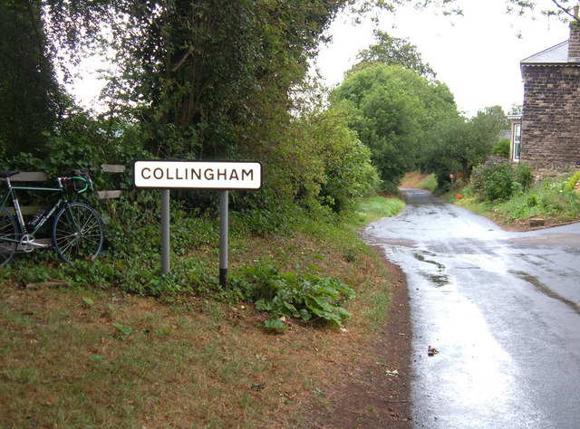
East Rigton

East Rigton is a hamlet in West Yorkshire, England, immediately to the east of Bardsey. == Etymology == The name of East Rigton is first attested in the...

Bardsey railway station

Bardsey railway station was a railway station on the Cross Gates to Wetherby line serving the village of Bardsey, West Yorkshire connecting it with the...

Bardsey cum Rigton

Bardsey cum Rigton is a civil parish in the City of Leeds metropolitan borough in West Yorkshire, England. According to the 2001 census it had a population...

Nearby Amenities

Located within 500m of 53.891847,-1.4216395
Man Made: mast
Lat/Long: 53.8944262/-1.4176545
The data included in this document is from www.openstreetmap.org. The data is made available under ODbL.

Have you been to Rigton Bank?

Leave your review of Rigton Bank below (or comments, questions and feedback).