Cuddy Wood
Wood, Forest in Yorkshire
England
Cuddy Wood
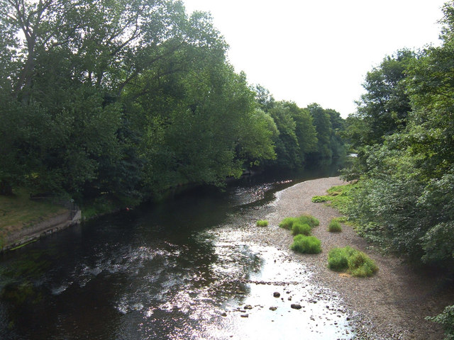
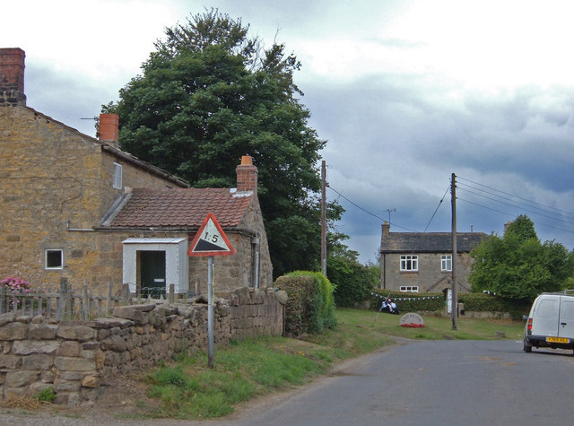
Cuddy Wood is a picturesque forest located in the county of Yorkshire, England. Situated amidst the rolling hills and verdant landscapes, this wood offers a tranquil escape for nature enthusiasts and those seeking serenity. Covering an area of approximately 50 acres, Cuddy Wood is a thriving ecosystem rich in biodiversity.
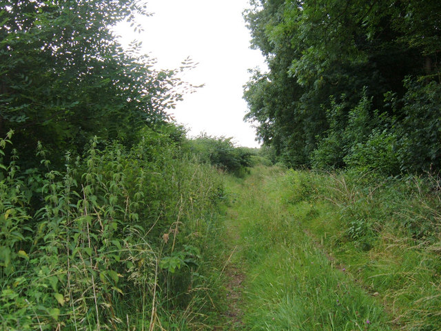
As visitors enter the wood, they are greeted by a dense canopy of towering trees, predominantly oak and beech, which provide shade and shelter to a variety of wildlife. The forest floor is blanketed with a lush carpet of ferns, mosses, and wildflowers, creating a vibrant and colorful landscape. It is not uncommon to encounter woodland creatures such as deer, rabbits, and squirrels, as well as a plethora of bird species, including woodpeckers, owls, and thrushes.
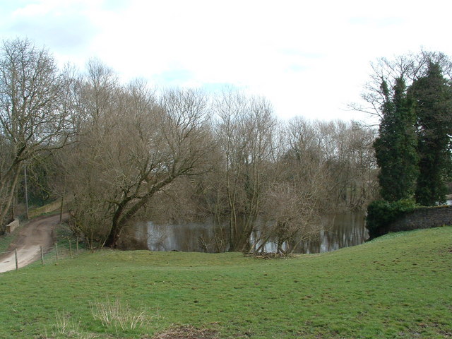
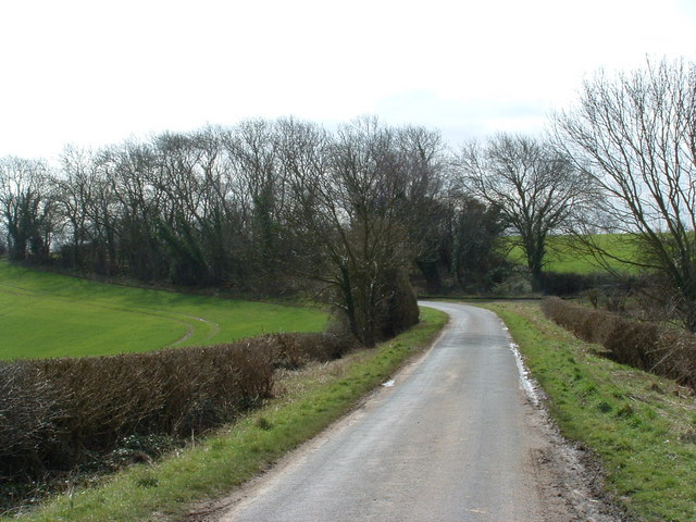
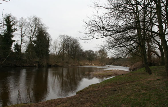
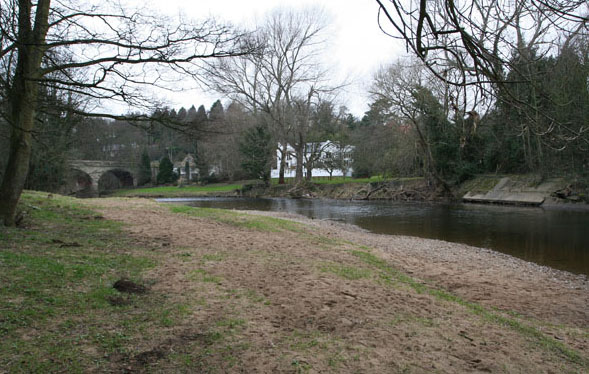
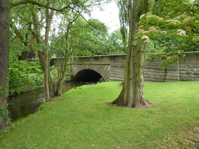
Tranquil paths wind their way through Cuddy Wood, offering visitors the opportunity to explore its natural splendor. The scenic trails are well-maintained, allowing for leisurely walks and peaceful contemplation. The wood also features a small stream that meanders through its heart, adding to its enchanting charm.
Cuddy Wood is a popular destination for nature lovers, photographers, and birdwatchers. Its untouched beauty and serene atmosphere make it an ideal location for outdoor activities such as hiking, picnicking, and nature walks. The wood is open year-round, with each season offering a unique experience. In spring, the forest comes alive with the vibrant colors of bluebells and primroses, while autumn brings a breathtaking display of golden foliage.
Overall, Cuddy Wood is a haven of natural beauty and tranquility, loved by locals and tourists alike. Its pristine forests, diverse wildlife, and peaceful ambiance make it a must-visit destination for anyone seeking solace in nature's embrace.
If you have any feedback on the listing, please let us know in the comments section below.
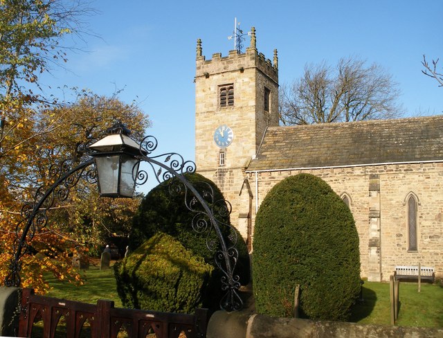
Cuddy Wood Images
Images are sourced within 2km of 53.89875/-1.4142698 or Grid Reference SE3844. Thanks to Geograph Open Source API. All images are credited.


Cuddy Wood is located at Grid Ref: SE3844 (Lat: 53.89875, Lng: -1.4142698)
Division: West Riding
Unitary Authority: Leeds
Police Authority: West Yorkshire
What 3 Words
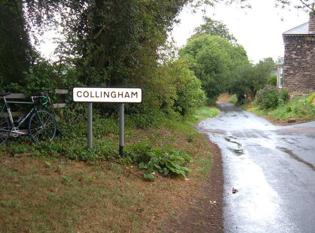
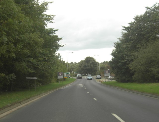
///smallest.cable.homelands. Near Collingham, West Yorkshire
Nearby Locations
Related Wikis

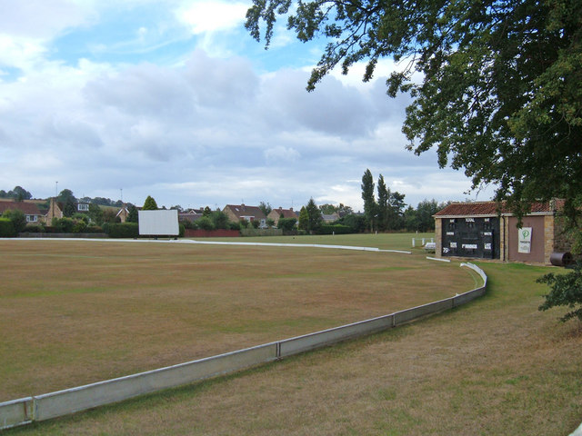
Collingham and Linton Cricket Club Ground
Collingham and Linton Cricket Club is a cricket ground in Collingham, West Yorkshire. The first recorded match on the ground was in 1896. In 1986 the...
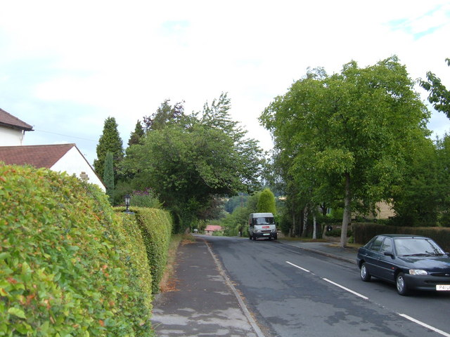
Collingham, West Yorkshire
Collingham is a village and civil parish 2 miles (3 km) south-west of Wetherby in West Yorkshire, England. It is in the City of Leeds metropolitan borough...
Collingham Bridge
Collingham Bridge is a road bridge that spans the Collingham Beck, a tributary of the River Wharfe on Harewood Road in Collingham, West Yorkshire, England...

Boulton St. Mary's Church
Boulton St Mary's is the Church of England parish church for the Boulton ward of Derby. It is located on Boulton Lane, Alvaston, Derby, Derbyshire, England...
Nearby Amenities
Located within 500m of 53.89875,-1.4142698Have you been to Cuddy Wood?
Leave your review of Cuddy Wood below (or comments, questions and feedback).